Coberley, Upper

Settlement in Gloucestershire Cotswold

England

Coberley, Upper

Stubble by the Cotswold Way
Stubble by the Cotswold Way Credit: don cload

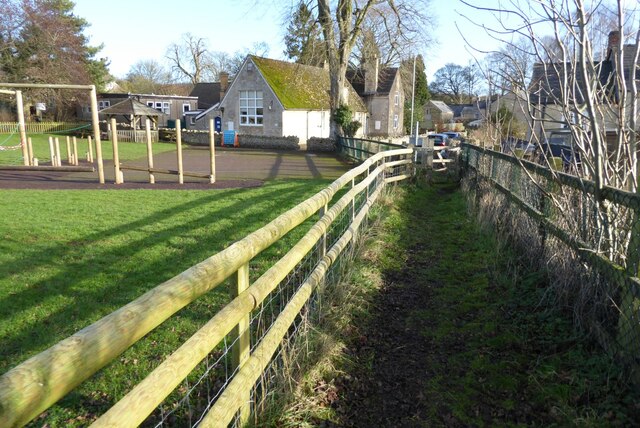
Coberley, Upper is a small village located in the county of Gloucestershire, England. It is situated in the Cotswold district, approximately 7 miles southwest of the town of Cheltenham. With a population of just over 200 residents, Coberley, Upper is known for its rural charm and picturesque surroundings.

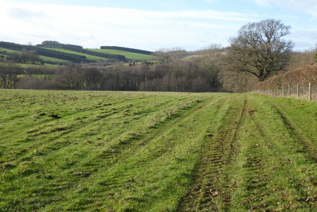
The village is nestled in the Cotswold Hills, an area famous for its stunning natural beauty and quintessential English countryside. Coberley, Upper offers breathtaking views of rolling hills, lush green fields, and meandering streams, making it an idyllic location for those seeking tranquility and a connection with nature.

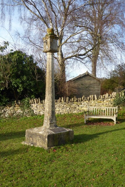
Historically, Coberley, Upper was an agricultural village, with farming and livestock being the primary sources of income for its inhabitants. Many of the traditional Cotswold stone houses and buildings still stand today, adding to the village's charm and character.

Although small in size, Coberley, Upper boasts a strong sense of community. The village is home to a local pub, which serves as a meeting place for residents and visitors alike. Additionally, the village hall hosts various social events throughout the year, fostering a sense of belonging and camaraderie among the villagers.

Coberley, Upper is also known for its proximity to several notable attractions. The nearby Crickley Hill Country Park offers stunning panoramic views of the surrounding area and provides opportunities for outdoor activities such as hiking and picnicking. Additionally, the village is within easy reach of Cheltenham, known for its vibrant cultural scene, high street shopping, and annual horse racing festival.

In conclusion, Coberley, Upper is a charming and peaceful village nestled in the heart of the Cotswolds, offering a serene escape from the hustle and bustle of city life. Its breathtaking natural beauty, strong sense of community, and proximity to notable attractions make it an ideal destination for those seeking a quintessential English countryside experience.

If you have any feedback on the listing, please let us know in the comments section below.

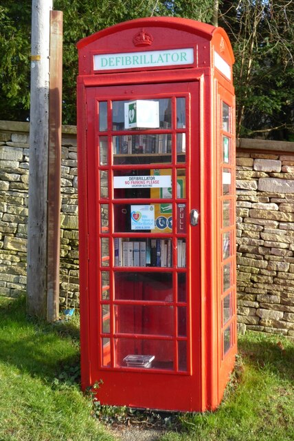
Coberley, Upper Images

Images are sourced within 2km of 51.839319/-2.032045 or Grid Reference SO9715. Thanks to Geograph Open Source API. All images are credited.

Stubble by the Cotswold Way
Manx Loaghtan sheep Manx Loaghtan sheep in a field at Coberley.
Manx Loaghtan sheep
Manx Loaghtan sheep in a field at Coberley.
Manx Loaghtan sheep Manx Loaghtan sheep in a field at Coberley.
Manx Loaghtan sheep
Manx Loaghtan sheep in a field at Coberley.
Manx Loaghtan sheep Manx Loaghtan sheep in a field at Coberley.
Manx Loaghtan sheep
Manx Loaghtan sheep in a field at Coberley.
Footpath approaching Dowman's Farm Footpath crossing field approaching Dowman's Farm at Coberley.
Footpath approaching Dowman's Farm
Footpath crossing field approaching Dowman's Farm at Coberley.
Footpath passing Coberley School Footpath passing Coberley Primary School.
Footpath passing Coberley School
Footpath passing Coberley Primary School.
Coberley war memorial
Sundial on Coberley war memorial
Plaque on Coberley war memorial
Houses in Coberley The village war memorial is on the right.
Houses in Coberley
The village war memorial is on the right.
Telephone box Another redundant telephone box in the village of Coberley.  This one contains a defibrillator and book exchange.
Telephone box
Another redundant telephone box in the village of Coberley. This one contains a defibrillator and book exchange.
Coberley church Coberley church is dedicated to St Giles and dates back to the 12th century.  The church is Grade II* listed, see: <span class="nowrap"><a title="https://historicengland.org.uk/listing/the-list/list-entry/1091770?section=official-listing" rel="nofollow ugc noopener" href="https://historicengland.org.uk/listing/the-list/list-entry/1091770?section=official-listing">Link</a><img style="margin-left:2px;" alt="External link" title="External link - shift click to open in new window" src="https://s1.geograph.org.uk/img/external.png" width="10" height="10"/></span>  The wall in the foreground is part of Coberley Court which was demolished in 1790.  The wall is Grade II listed, see: <span class="nowrap"><a title="https://historicengland.org.uk/listing/the-list/list-entry/1091771?section=official-listing" rel="nofollow ugc noopener" href="https://historicengland.org.uk/listing/the-list/list-entry/1091771?section=official-listing">Link</a><img style="margin-left:2px;" alt="External link" title="External link - shift click to open in new window" src="https://s1.geograph.org.uk/img/external.png" width="10" height="10"/></span>
Coberley church
Coberley church is dedicated to St Giles and dates back to the 12th century. The church is Grade II* listed, see: LinkExternal link The wall in the foreground is part of Coberley Court which was demolished in 1790. The wall is Grade II listed, see: LinkExternal link
Base of a cross  The base and lower shaft of a cross in Coberley churchyard.  It possibly dates from Saxom times and is Grade II listed, see: <span class="nowrap"><a title="https://historicengland.org.uk/listing/the-list/list-entry/1340130?section=official-listing" rel="nofollow ugc noopener" href="https://historicengland.org.uk/listing/the-list/list-entry/1340130?section=official-listing">Link</a><img style="margin-left:2px;" alt="External link" title="External link - shift click to open in new window" src="https://s1.geograph.org.uk/img/external.png" width="10" height="10"/></span>
Base of a cross
The base and lower shaft of a cross in Coberley churchyard. It possibly dates from Saxom times and is Grade II listed, see: LinkExternal link
Tomb of Sir Thomas and Lady Berkeley Effigies of Lady Berkeley and her first husband Sir Thomas Berkeley who fought at the battle of Crecy in 1346, her second husband was Sir William Whittington, her son Sir Richard Whittington became Lord Mayor of London and inspiration for the Dick Whittington pantomime character.
Tomb of Sir Thomas and Lady Berkeley
Effigies of Lady Berkeley and her first husband Sir Thomas Berkeley who fought at the battle of Crecy in 1346, her second husband was Sir William Whittington, her son Sir Richard Whittington became Lord Mayor of London and inspiration for the Dick Whittington pantomime character.
Font in Coberley church
Gravestones in Coberley churchyard
Trees reflected in a pool Trees reflected in a pool viewed from the Gloucestershire Way in Coberley.
Trees reflected in a pool
Trees reflected in a pool viewed from the Gloucestershire Way in Coberley.
Farmland Coberley View to the west across farmland between Coberley and Cowley.
Farmland Coberley
View to the west across farmland between Coberley and Cowley.
Show me another place!

Coberley, Upper is located at Grid Ref: SO9715 (Lat: 51.839319, Lng: -2.032045)

Administrative County: Gloucestershire

District: Cotswold

Police Authority: Gloucestershire

What 3 Words

///youthful.nutty.templates. Near Charlton Kings, Gloucestershire

Related Wikis

Cowley, Gloucestershire

Cowley is a village and civil parish in the Cotswold District of Gloucestershire, England. It lies between the A417 and A435 roads between Cheltenham...

Coberley

Coberley is a village and civil parish in the Cotswold District of Gloucestershire in England, 4 miles (6.4 km) south of Cheltenham. It lies at the confluence...

Seven Springs, Gloucestershire

Seven Springs is a hamlet in the heavily wooded parish of Coberley in the Cotswold District of Gloucestershire in England, 4 miles (6.4 km) south of Cheltenham...

Cockleford Marsh

Cockleford Marsh (grid reference SO977133) is a 3.2-hectare (7.9-acre) biological Site of Special Scientific Interest in Gloucestershire, notified in 1991...

Nearby Amenities

Located within 500m of 51.839319,-2.032045
Upper Coberley
Ele: 284
Natural: peak
Lat/Long: 51.8376989/-2.0346695
Upper Coberley
Is In: Gloucestershire, England, UK
Place: hamlet
Source: NPE
Lat/Long: 51.8400802/-2.033524
Power: tower
Source: bing
Lat/Long: 51.8400822/-2.0293657
Power: tower
Source: bing
Lat/Long: 51.8374399/-2.0296191
Power: pole
Lat/Long: 51.8381935/-2.0258101
Power: pole
Lat/Long: 51.8383485/-2.0268166
Power: pole
Lat/Long: 51.8385681/-2.0280759
Power: pole
Lat/Long: 51.8387359/-2.0290931
Power: pole
Lat/Long: 51.8391083/-2.029932
Power: pole
Lat/Long: 51.8394021/-2.0311705
Power: pole
Lat/Long: 51.8401458/-2.0317143
Upper Coberley
Power: pole
Transformer: distribution
Voltage Primary: 11000
Lat/Long: 51.8402199/-2.0329978
Top Cottage Upper Coberley
Power: pole
Transformer: distribution
Voltage Primary: 11000
Lat/Long: 51.8417118/-2.0300628
Power: pole
Lat/Long: 51.8416509/-2.0311055
Power: pole
Lat/Long: 51.8412689/-2.0317371
Power: pole
Lat/Long: 51.8408521/-2.0323983
Power: pole
Lat/Long: 51.8406583/-2.0341364
Power: pole
Lat/Long: 51.8418498/-2.0370935
Power: pole
Lat/Long: 51.8403061/-2.0332955
Power: pole
Lat/Long: 51.8410353/-2.0350684
Power: pole
Lat/Long: 51.8414636/-2.0361386
Colesbourne Transmitter
Power: pole
Transformer: distribution
Voltage Primary: 11000
Lat/Long: 51.8355902/-2.0335221
The data included in this document is from www.openstreetmap.org. The data is made available under ODbL.

Have you been to Coberley, Upper?

Leave your review of Coberley, Upper below (or comments, questions and feedback).