Bowden

Settlement in Roxburghshire

Scotland

Bowden

A winter sunrise on Eildon Mid Hill This is at the summit toposcope with the shadow of the hill cast on to valley fog below.
A winter sunrise on Eildon Mid Hill Credit: Walter Baxter

Bowden is a small village located in the region of Roxburghshire, Scotland. Situated in the Scottish Borders, it is nestled among picturesque rolling hills and offers stunning views of the surrounding countryside. Bowden is situated approximately 5 miles southeast of Melrose and 35 miles south of Edinburgh.

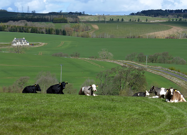
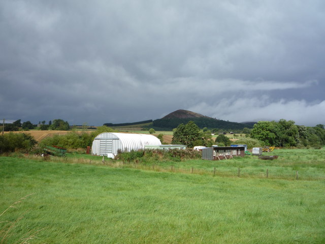
The village has a long history, with evidence of human settlement dating back to the prehistoric era. It was once an important center for the wool trade and played a significant role in the textile industry during the 19th century. Today, Bowden is a peaceful and charming rural community, known for its tranquil atmosphere and beautiful landscapes.

Bowden is home to a close-knit community, with a population of around 300 residents. The village features a range of amenities including a local primary school, a village hall, and a church. There are also a few shops and local businesses that serve the community's needs.

The surrounding area offers plenty of opportunities for outdoor activities and exploration. The Bowden Hill Walk is a popular trail that takes hikers through the countryside, offering breathtaking views of the River Tweed and the Eildon Hills. The village is also well-positioned for exploring other attractions in the Scottish Borders, such as the historic town of Melrose, with its famous abbey, and Abbotsford House, the former home of Sir Walter Scott.

In conclusion, Bowden is a peaceful village in Roxburghshire, Scotland, known for its rich history, stunning landscapes, and strong sense of community. It is an ideal destination for those seeking a tranquil retreat in the Scottish Borders.

If you have any feedback on the listing, please let us know in the comments section below.
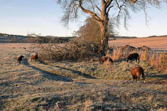
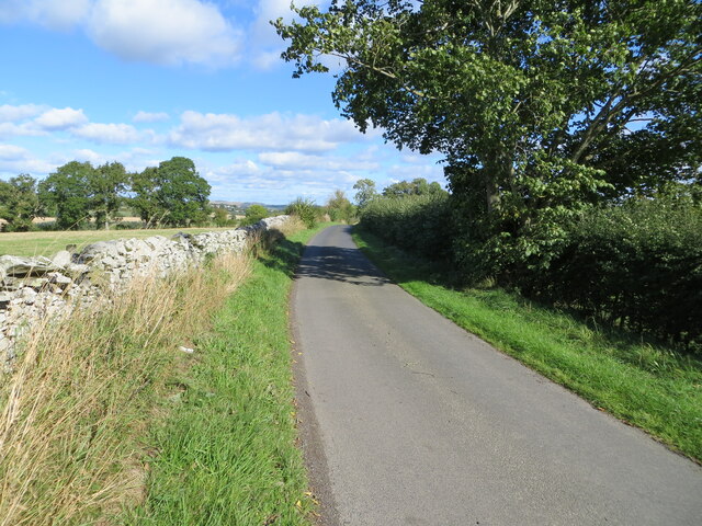
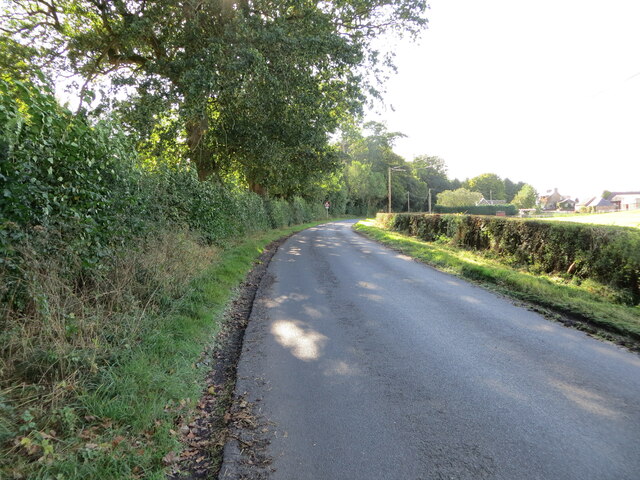
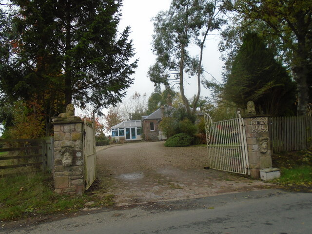
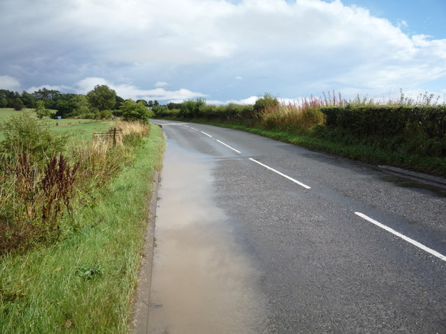
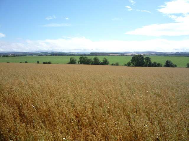
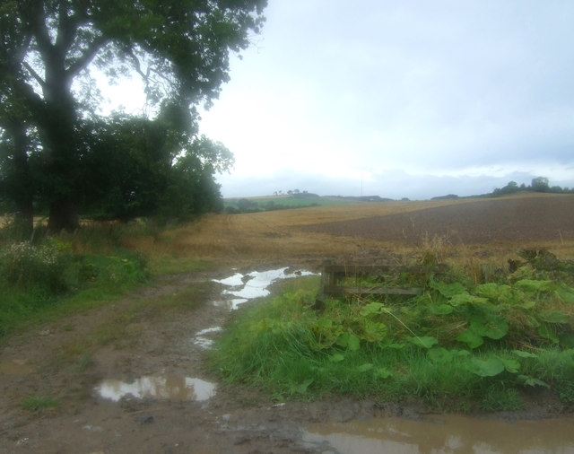
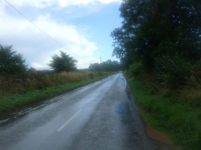
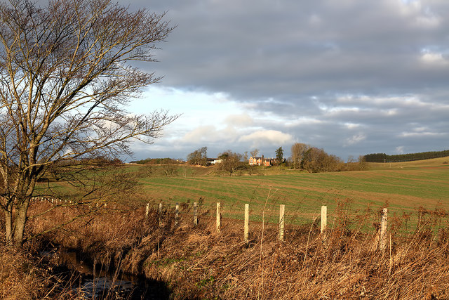
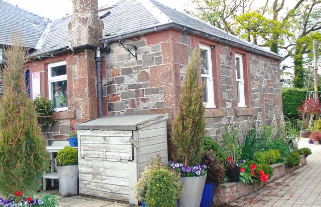
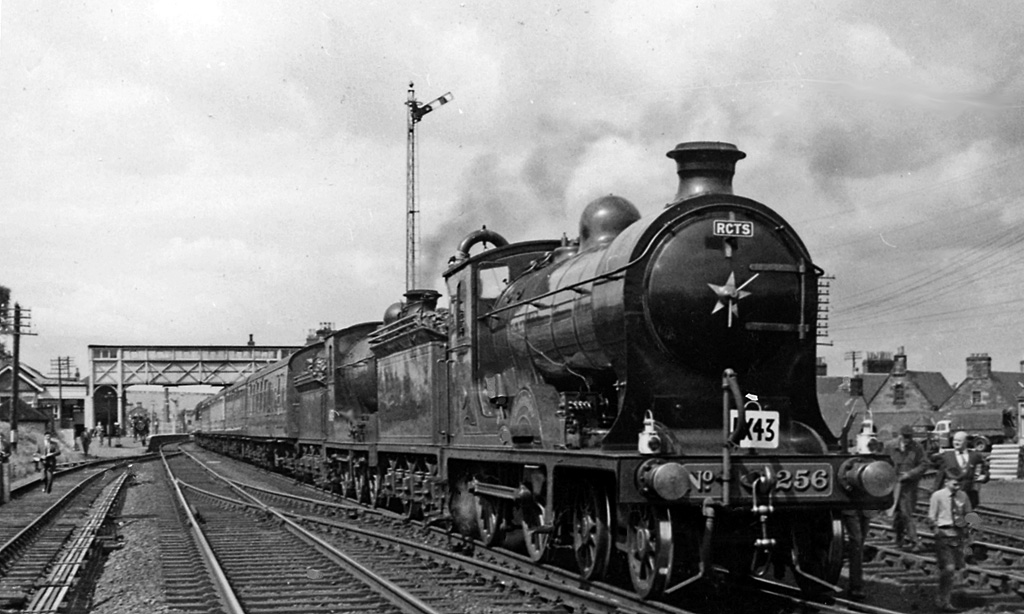
Bowden Images

Images are sourced within 2km of 55.566448/-2.7082367 or Grid Reference NT5530. Thanks to Geograph Open Source API. All images are credited.

A winter sunrise on Eildon Mid Hill This is at the summit toposcope with the shadow of the hill cast on to valley fog below.
A winter sunrise on Eildon Mid Hill
This is at the summit toposcope with the shadow of the hill cast on to valley fog below.
Trees in the mist These conifer trees in Broad Wood were viewed from the summit of Eildon Mid Hill on a foggy December morning.
Trees in the mist
These conifer trees in Broad Wood were viewed from the summit of Eildon Mid Hill on a foggy December morning.
Winter farmland near Bowden This early morning view with a touch of frost on the ground was taken from the B6359.
Winter farmland near Bowden
This early morning view with a touch of frost on the ground was taken from the B6359.
A frosted spider’s web The web was on a metal gate to this field <a href="https://www.geograph.org.uk/photo/7052191">NT5429 : Winter farmland near Bowden</a>.
A frosted spider’s web
The web was on a metal gate to this field NT5429 : Winter farmland near Bowden.
Minor road near to Eastfield Looking north-eastward.
Minor road near to Eastfield
Looking north-eastward.
Road approaching Northfield Farm Looking south-westward.
Road approaching Northfield Farm
Looking south-westward.
Old toll house The entrance to the old tollhouse, Bowden Toll.
Old toll house
The entrance to the old tollhouse, Bowden Toll.
Farmland at Eastfield The livestock in the field was viewed from a minor road to Midlem.
Farmland at Eastfield
The livestock in the field was viewed from a minor road to Midlem.
Farm buildings, Bowden View towards the Eildon Hills.
Just after a heavy downpour.
Farm buildings, Bowden
View towards the Eildon Hills. Just after a heavy downpour.
Road junction near Hillview The B6359 meets the A699.
Road junction near Hillview
The B6359 meets the A699.
A699 towards Kelso Looking north east.
A699 towards Kelso
Looking north east.
Water beside the A699 Just after a heavy downpour.
Water beside the A699
Just after a heavy downpour.
Crop field near Northfield
Field entrance off the B6359
Looking south east on the B6359
Farmland at Bowden Faughhill Farm is in the background.
Farmland at Bowden
Faughhill Farm is in the background.
Former tollhouse Surveyed by the Milestone Society.   On the A699, Selkirk to Kelso, cross roads with the B6359, Hawick to Melrose, at the south west corner.   Known as Bowden Stand Dam, a George Brown was the toll keeper sometime in the mid 1800s.  He was an ancestor of the photographer. This picture shows the blocked up hatch where the tolls were taken.
Former tollhouse
Surveyed by the Milestone Society. On the A699, Selkirk to Kelso, cross roads with the B6359, Hawick to Melrose, at the south west corner. Known as Bowden Stand Dam, a George Brown was the toll keeper sometime in the mid 1800s. He was an ancestor of the photographer. This picture shows the blocked up hatch where the tolls were taken.
Winter arable
Winter arable
Show me another place!

Bowden is located at Grid Ref: NT5530 (Lat: 55.566448, Lng: -2.7082367)

Unitary Authority: The Scottish Borders

Police Authority: The Lothians and Scottish Borders

What 3 Words

///lowest.political.minus. Near Newtown St Boswells, Scottish Borders

Nearby Locations

Bowden

Related Wikis

Nearby Amenities

Located within 500m of 55.566448,-2.7082367
Source: www.npemap.org.uk
Uk Postcode Centroid: TD6
Lat/Long: 55.565913/-2.704581
Bowden
Old Name: Bothanden
Place: village
Population: 223
Wikidata: Q4950728
Wikipedia: en:Bowden, Scottish Borders
Lat/Long: 55.5664893/-2.7084164
Passing Place
Lat/Long: 55.5646166/-2.7075104
Bus Stop
Cotland Cottages
Bench: no
Bus: yes
Departures Board: no
Lit: yes
Local Ref: at
Naptan AtcoCode: 69001177
Naptan BusStopType: CUS
Naptan CommonName: Cotland Cottages
Naptan Indicator: at
Naptan NaptanCode: 72726967
Naptan Street: B6398
Operator: Scottish Borders Council
Public Transport: platform
Ref: 69001177
Shelter: no
Source: local knowledge;survey;NaPTAN
Lat/Long: 55.5655293/-2.712355
Bus Stop
Cotland Cottages
Bench: no
Bus: yes
Departures Board: no
Lit: no
Local Ref: opp
Naptan AtcoCode: 69001178
Naptan Bearing: W
Naptan CommonName: Cotland Cottages
Naptan Indicator: opp
Naptan NaptanCode: 72726958
Naptan Street: B6398
Operator: Scottish Borders Council
Public Transport: platform
Ref: 69001178
Shelter: no
Source: survey;local knowledge;NaPTAN
Lat/Long: 55.5654105/-2.7123087
Bus Stop
Commonside
Bench: yes
Bin: no
Bus: yes
Departures Board: timetable
Lit: no
Local Ref: at
Naptan AtcoCode: 69001179
Naptan Bearing: E
Naptan CommonName: Commonside
Naptan Indicator: at
Naptan NaptanCode: 72726965
Naptan Street: B6398
Operator: Scottish Borders Council
Public Transport: platform
Ref: 69001179
Shelter: yes
Source: local knowledge;survey;NaPTAN
Tactile Paving: no
Lat/Long: 55.5666238/-2.7084304
Bus Stop
Commonside
Bench: no
Bus: yes
Departures Board: no
Lit: no
Local Ref: opp
Naptan AtcoCode: 69001180
Naptan Bearing: W
Naptan CommonName: Commonside
Naptan Indicator: opp
Naptan NaptanCode: 72726968
Naptan Street: B6398
Naptan Verified: no
Operator: Scottish Borders Council
Public Transport: platform
Ref: 69001180
Shelter: no
Source: NaPTAN;survey;local knowledge
Lat/Long: 55.5663501/-2.7083139
Post Box
Ref: TD6 58
Lat/Long: 55.5665986/-2.7083887
Maxpoffle House
Place: isolated_dwelling
Lat/Long: 55.5648287/-2.7018911
Maxpoffle
Place: hamlet
Lat/Long: 55.5653267/-2.7009747
Bowden Mill
Place: hamlet
Lat/Long: 55.5632203/-2.7104528
Give Way
Direction: forward
Lat/Long: 55.5664405/-2.7085931
Manse
Place: isolated_dwelling
Lat/Long: 55.5628926/-2.7092083
Noexit: yes
Lat/Long: 55.562333/-2.7081354
Passing Place
Lat/Long: 55.5636596/-2.7085434
Noexit: yes
Lat/Long: 55.5634406/-2.710696
Give Way
Direction: forward
Lat/Long: 55.5664753/-2.7082714
Give Way
Direction: backward
Lat/Long: 55.5662115/-2.7091584
Give Way
Direction: forward
Lat/Long: 55.5658818/-2.7107974
Give Way
Direction: forward
Lat/Long: 55.5658271/-2.7107492
Give Way
Direction: forward
Lat/Long: 55.5655721/-2.7122678
Give Way
Direction: forward
Lat/Long: 55.5661455/-2.7091011
Give Way
Direction: backward
Lat/Long: 55.5669833/-2.706114
Give Way
Direction: forward
Lat/Long: 55.5673725/-2.7065858
Generator Method: photovoltaic
Generator Output Electricity: yes
Generator Source: solar
Generator Type: solar_photovoltaic_panel
Power: generator
Lat/Long: 55.5682834/-2.7070047
Generator Method: photovoltaic
Generator Output Electricity: yes
Generator Source: solar
Generator Type: solar_photovoltaic_panel
Power: generator
Lat/Long: 55.5671179/-2.7077115
Generator Method: photovoltaic
Generator Output Electricity: yes
Generator Source: solar
Generator Type: solar_photovoltaic_panel
Power: generator
Lat/Long: 55.5683047/-2.7067968
Generator Method: photovoltaic
Generator Output Electricity: yes
Generator Source: solar
Generator Type: solar_photovoltaic_panel
Power: generator
Lat/Long: 55.5675251/-2.7059975
Bowden
Direction: W
Traffic Sign: city_limit
Lat/Long: 55.5674918/-2.703601
Generator Method: photovoltaic
Generator Output Electricity: yes
Generator Source: solar
Generator Type: solar_photovoltaic_panel
Power: generator
Lat/Long: 55.5633967/-2.7104527
Material: wood
Power: pole
Lat/Long: 55.5639473/-2.7077839
Material: wood
Power: pole
Lat/Long: 55.5640231/-2.7082841
Power: pole
Lat/Long: 55.564168/-2.7091317
Power: pole
Lat/Long: 55.5643105/-2.7099819
Power: pole
Lat/Long: 55.565015/-2.7154671
Power: pole
Lat/Long: 55.5646624/-2.7142158
Power: pole
Lat/Long: 55.5645259/-2.7112868
Power: pole
Lat/Long: 55.5645024/-2.7117884
Power: pole
Lat/Long: 55.5644114/-2.7133441
Power: pole
Lat/Long: 55.564469/-2.7123195
Power: pole
Lat/Long: 55.5647815/-2.7121317
Power: pole
Lat/Long: 55.5653154/-2.7117831
Power: pole
Lat/Long: 55.5703342/-2.7111031
Power: pole
Lat/Long: 55.5699926/-2.7116838
Power: pole
Lat/Long: 55.5693966/-2.7126789
Power: pole
Lat/Long: 55.5687718/-2.713725
Power: pole
Lat/Long: 55.5681534/-2.7147603
Power: pole
Lat/Long: 55.5676192/-2.7156454
Noexit: yes
Lat/Long: 55.5676533/-2.7095474
Noexit: yes
Lat/Long: 55.5673864/-2.7096681
Noexit: yes
Lat/Long: 55.5681098/-2.7089399
Passing Place
Lat/Long: 55.5637917/-2.7084144
Bowden
Direction: E
Traffic Sign: city_limit
Lat/Long: 55.5651872/-2.7130222
Power: pole
Lat/Long: 55.5641794/-2.7114074
Power: pole
Lat/Long: 55.5635476/-2.7116186
Power: pole
Lat/Long: 55.5629561/-2.7117815
Power: pole
Lat/Long: 55.564319/-2.7066913
Power: pole
Lat/Long: 55.5646457/-2.7056707
Power: pole
Lat/Long: 55.5649638/-2.7047214
Power: pole
Lat/Long: 55.5653049/-2.7036423
Power: pole
Lat/Long: 55.565597/-2.7035049
Power: pole
Lat/Long: 55.5661986/-2.7032224
Power: pole
Lat/Long: 55.5665454/-2.7026192
Power: pole
Lat/Long: 55.5668663/-2.7020771
Power: pole
Lat/Long: 55.5671469/-2.7016164
Power: pole
Lat/Long: 55.5676938/-2.7006849
Leisure: picnic_table
Lat/Long: 55.5686927/-2.7101013
Leisure: picnic_table
Lat/Long: 55.5686849/-2.7098354
The data included in this document is from www.openstreetmap.org. The data is made available under ODbL.

Have you been to Bowden?

Leave your review of Bowden below (or comments, questions and feedback).