Buckenhill, Upper
Settlement in Herefordshire
England
Buckenhill, Upper

The requested URL returned error: 429 Too Many Requests
If you have any feedback on the listing, please let us know in the comments section below.
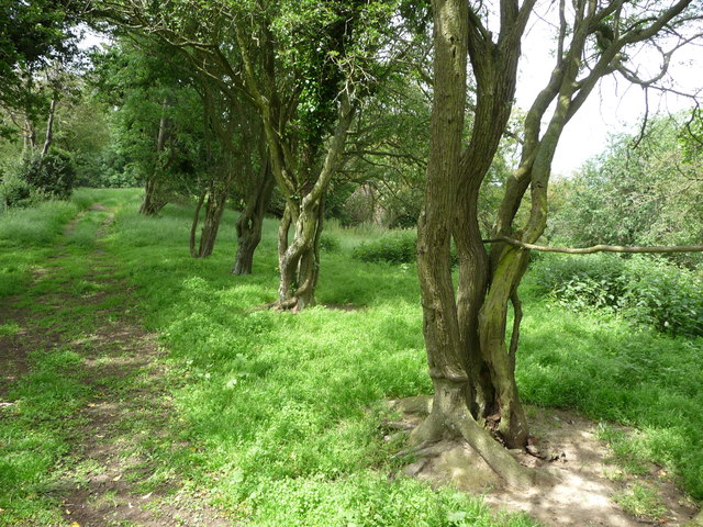
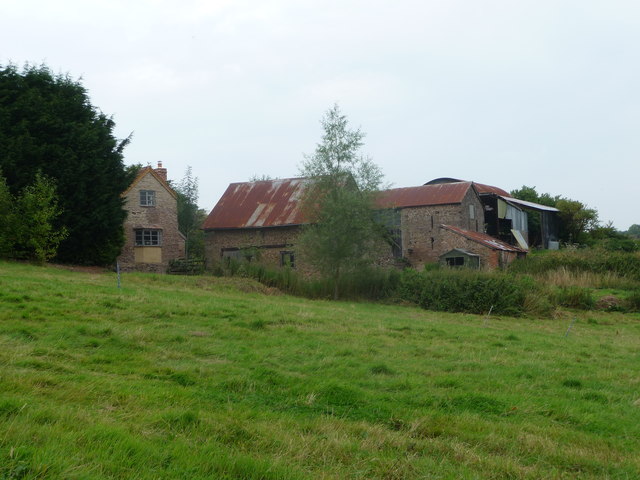
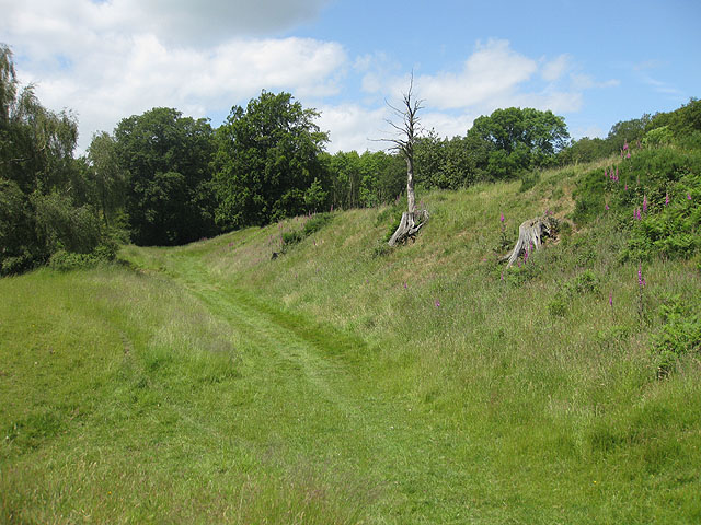
Buckenhill, Upper Images
Images are sourced within 2km of 51.993924/-2.598542 or Grid Reference SO5933. Thanks to Geograph Open Source API. All images are credited.


Buckenhill, Upper is located at Grid Ref: SO5933 (Lat: 51.993924, Lng: -2.598542)
Unitary Authority: County of Herefordshire
Police Authority: West Mercia
What 3 Words
///tribune.likes.widely. Near Brockhampton, Herefordshire
Nearby Locations
Related Wikis
Capler Camp
Capler Camp is an Iron Age hill fort located 2.5 km south of Fownhope, Herefordshire. The Camp is on a hill top above the River Wye. It has a double layer...

All Saints' Church, Brockhampton
The Church of All Saints is a Church of England parish church at Brockhampton in the English county of Herefordshire. The church was commissioned by Alice...

The Park, Brockhampton
The Park is a cricket ground in Brockhampton-by-Ross, Herefordshire. The ground was part of the Brockhampton Court estate.The first recorded match on...

Brockhampton (near Ross-on-Wye)
Brockhampton is a village and civil parish in Herefordshire, England. The village is near the River Wye, 14 kilometres (9 mi) south east of Hereford, 13...
Nearby Amenities
Located within 500m of 51.993924,-2.598542Have you been to Buckenhill, Upper?
Leave your review of Buckenhill, Upper below (or comments, questions and feedback).