Broxwood, Upper
Settlement in Herefordshire
England
Broxwood, Upper
Broxwood is a small village located in the Upper district of Herefordshire, England. Situated amidst the picturesque countryside, it enjoys a serene and tranquil environment. The village is nestled between the towns of Leominster and Kington, offering a convenient location for residents and visitors alike.
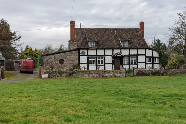
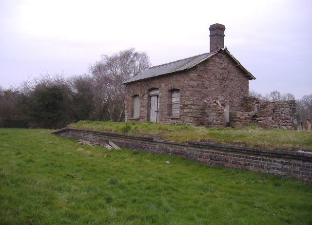
With a population of around 300 people, Broxwood has a close-knit community that fosters a friendly and welcoming atmosphere. The village is characterized by a charming mix of traditional architecture, including stone cottages and timber-framed houses, creating an aesthetically pleasing rural landscape.
Despite its modest size, Broxwood boasts a number of amenities that cater to the needs of its residents. These include a village hall, a primary school, and a local pub, which serves as a popular gathering spot. The village hall hosts various social and community events throughout the year, fostering a sense of togetherness among its inhabitants.
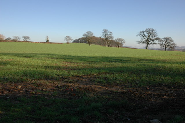
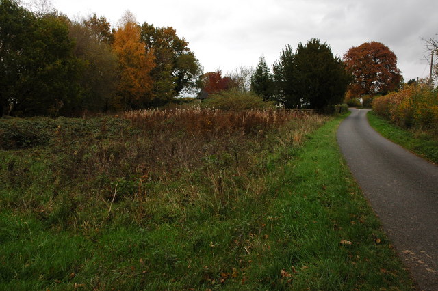
Surrounded by verdant farmland and rolling hills, Broxwood offers plentiful opportunities for outdoor activities and exploration. The nearby countryside provides picturesque walking and cycling trails, allowing residents to immerse themselves in the natural beauty of the area.
Broxwood's location also provides easy access to a range of amenities in the neighboring towns. Leominster and Kington offer a wider array of shops, supermarkets, and leisure facilities, ensuring that residents have access to everything they may need.
In summary, Broxwood is a charming village in the Upper district of Herefordshire, boasting picturesque surroundings, a vibrant community, and a convenient location for both rural living and accessing nearby amenities.
If you have any feedback on the listing, please let us know in the comments section below.
Broxwood, Upper Images
Images are sourced within 2km of 52.171533/-2.9372385 or Grid Reference SO3653. Thanks to Geograph Open Source API. All images are credited.


Broxwood, Upper is located at Grid Ref: SO3653 (Lat: 52.171533, Lng: -2.9372385)
Unitary Authority: County of Herefordshire
Police Authority: West Mercia
What 3 Words
///mile.keeps.purified. Near Kinnersley, Herefordshire
Nearby Locations
Related Wikis

Woonton
Woonton is a hamlet which forms part of the parish of Almeley in Herefordshire, England. It is on the A480 road and is near the town of Kington.
Holme Marsh
Holme Marsh (Originally Holmes) is a village in Herefordshire, England on the A480 road. It is near the Welsh border and the small town of Kington. A...

Sarnesfield
Sarnesfield (National Grid ref. SO374508) is a civil parish and village in Herefordshire, eleven miles north-west of Hereford. == Descent of the manor... ==
Almeley
Almeley (pronounced ) is a village and civil parish in Herefordshire, England. The civil parish includes the hamlets of Almeley Wooton and Upcott. The...
Almeley railway station
Almeley railway station was a railway station on the line from Kington to Eardisley in the English county of Herefordshire. == History == Opened on the...

Lyonshall
Lyonshall is a historic village and civil parish in Herefordshire, England. The civil parish includes the hamlet of Penrhos. According to the 2001 Census...

Kinnersley Castle
Kinnersley Castle in Herefordshire, England, is one of the many marches castles along the Welsh Borders. The Castle of Kinnersley, on the A4112 3 km (1...

Church of St James, Kinnersley
The Church of St James is a Church of England parish church at Kinnersley in the English county of Herefordshire. It is a Grade I listed building. ��2...
Nearby Amenities
Located within 500m of 52.171533,-2.9372385Have you been to Broxwood, Upper?
Leave your review of Broxwood, Upper below (or comments, questions and feedback).