Broadheath, Upper

Settlement in Worcestershire Malvern Hills

England

Broadheath, Upper

Pool in a wood Trees reflected in a pool in a small wood near Kenswick Manor.
Pool in a wood Credit: Philip Halling

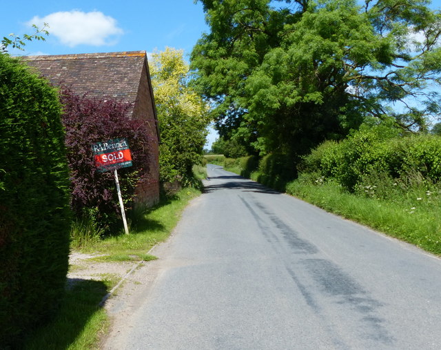
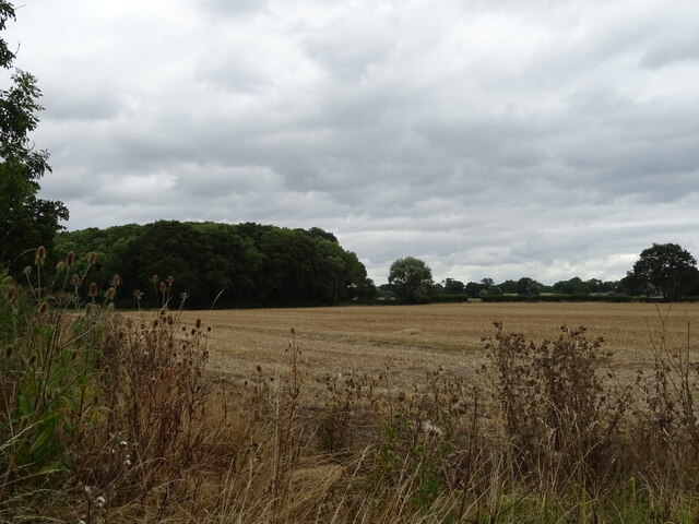
Broadheath is a small village located in the Upper district of Worcestershire, England. It is situated approximately 6 miles southwest of the city of Worcester and lies close to the River Teme. The village is surrounded by picturesque countryside, offering residents and visitors a peaceful and idyllic setting.

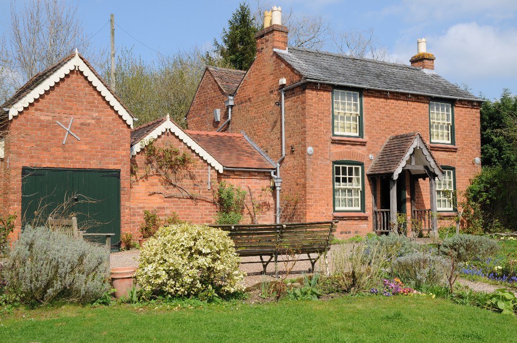
Broadheath is a close-knit community with a population of around 500 people. It has a rich history, dating back to medieval times when it was primarily an agricultural settlement. Today, the village still retains its rural charm, with many traditional cottages and farmhouses dotting the landscape.

The heart of the village is centered around St. Giles Church, a beautiful medieval church that serves as a focal point for the community. There is also a village hall which hosts various social events and gatherings throughout the year, bringing residents together.

Despite its small size, Broadheath offers some amenities for its residents. There is a local pub that serves as a meeting place for villagers and visitors alike. Additionally, there is a small primary school that caters to the educational needs of the local children.

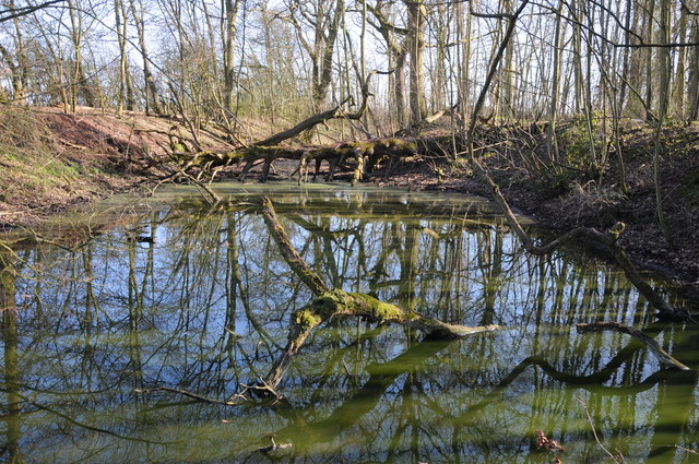
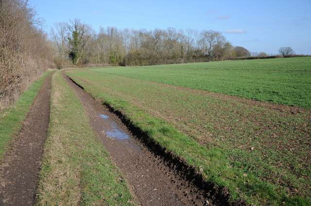
For those seeking outdoor activities, the surrounding countryside provides ample opportunities for walking, hiking, and cycling. The nearby River Teme is also popular for fishing and boating enthusiasts.

In summary, Broadheath is a charming village nestled in the Upper district of Worcestershire. With its rich history, stunning countryside, and strong sense of community, it offers a tranquil and welcoming environment for its residents.

If you have any feedback on the listing, please let us know in the comments section below.

Broadheath, Upper Images

Images are sourced within 2km of 52.204992/-2.286782 or Grid Reference SO8056. Thanks to Geograph Open Source API. All images are credited.

Pool in a wood Trees reflected in a pool in a small wood near Kenswick Manor.
Pool in a wood
Trees reflected in a pool in a small wood near Kenswick Manor.
Track and arable field Track and arable field near Kenswick Mill.
Track and arable field
Track and arable field near Kenswick Mill.
Entrance to Little Lightwood Farm from Lightwood Road
Post box and steps to rural telephone exchange Cotheridge
Sign along the A44 at Cotheridge
Postbox along the A44 at Cotheridge
Lightwood Lane near Cotheridge
Heading south along Lightwood Lane The Malvern Hills are 9.5 kilometres away.
Heading south along Lightwood Lane
The Malvern Hills are 9.5 kilometres away.
Middle Lightwood Farm along Lightwood Lane
Fields south of Ankerdine Road The Malvern Hills are 10 kilometres away.
Fields south of Ankerdine Road
The Malvern Hills are 10 kilometres away.
Ankerdine Road near Maple's Cross Farm
Farmland near the Lingens Farm The high ground to the left is Woodbury Hill, 276m (905 ft), and the Abberley Hills to the right.
Farmland near the Lingens Farm
The high ground to the left is Woodbury Hill, 276m (905 ft), and the Abberley Hills to the right.
Fields and trees near Tinkers' Cross
Stubble field and woodland near Cotheridge
A44 towards Worcester
Telephone exchange near Cotheridge
Field off the A44 near Cotheridge
A44 towards Worcester
Show me another place!

Broadheath, Upper is located at Grid Ref: SO8056 (Lat: 52.204992, Lng: -2.286782)

Administrative County: Worcestershire

District: Malvern Hills

Police Authority: West Mercia

What 3 Words

///endings.loopholes.fire. Near Lower Broadheath, Worcestershire

Related Wikis

Upper Broadheath

Upper Broadheath is an area in the village of Lower Broadheath. It is not a separate village. Worcestershire, England. It is in the Malvern Hills District...

Elgar Birthplace Museum

The Firs in Lower Broadheath, Worcestershire, England was the birthplace of Edward Elgar. The cottage now houses a museum administered by the National...

Lower Broadheath

Lower Broadheath is a village and civil parish in the Malvern Hills district of Worcestershire, England. According to the 2011 census it had a population...

A44 road

The A44 is a major road in the United Kingdom that runs from Oxford in southern England to Aberystwyth in west Wales. == History == The original (1923...

Nearby Amenities

Located within 500m of 52.204992,-2.286782
Broadheath Common- Crossroads
Naptan AtcoCode: 2000G051800
Naptan Bearing: NE
Naptan BusStopType: CUS
Naptan CommonName: Broadheath Common- Crossroads
Naptan Indicator: Opp
Naptan Landmark: Broadheath Common
Naptan NaptanCode: wocgjtjw
Naptan Street: Bell Lane
Naptan Verified: no
Source: naptan_import
Lat/Long: 52.2029317/-2.2882073
Broadheath Crossroads
Naptan AtcoCode: 2000G502056
Naptan Bearing: NW
Naptan BusStopType: CUS
Naptan CommonName: Broadheath Crossroads
Naptan Indicator: Adj
Naptan NaptanCode: wocdjtwm
Naptan Street: Crown East Lane
Naptan Verified: no
Source: naptan_import
Lat/Long: 52.2013047/-2.2880797
Broadheath Common Crossroads
Naptan AtcoCode: 2000G502067
Naptan Bearing: SW
Naptan BusStopType: CUS
Naptan CommonName: Broadheath Common Crossroads
Naptan Indicator: Adj
Naptan Landmark: Broadheath Common
Naptan NaptanCode: wocgdmjw
Naptan Street: Bell Lane
Naptan Verified: no
Source: naptan_import
Lat/Long: 52.2032037/-2.2872579
Dew Drop Inn
Naptan AtcoCode: 2000G652002
Naptan Bearing: SW
Naptan BusStopType: CUS
Naptan CommonName: Dew Drop Inn
Naptan Indicator: adj
Naptan Landmark: Public House
Naptan NaptanCode: wocdptjp
Naptan Street: Bell Lane
Naptan Verified: no
Source: naptan_import
Lat/Long: 52.2055002/-2.2819461
Post Box
Ref: WR2 152
Lat/Long: 52.2031486/-2.2877744
Bus Stop
Dew Drop Inn
Bus: yes
Naptan AtcoCode: 2000G502069
Naptan Bearing: NE
Naptan CommonName: Dew Drop Inn
Naptan Indicator: opp
Naptan NaptanCode: wocgdmpa
Naptan Street: Bell Lane
Naptan Verified: no
Public Transport: platform
Source: naptan_import
Lat/Long: 52.204973/-2.2834691
Pub
The Dewdrop Inn
Lat/Long: 52.2057577/-2.2820461
Upper Broadheath
Place: hamlet
Wikidata: Q7898515
Lat/Long: 52.200695/-2.2850403
Barrier: stile
Foot: yes
Lat/Long: 52.209139/-2.2872897
Barrier: stile
Foot: yes
Lat/Long: 52.2091165/-2.2873565
Dew Drop Inn
Power: pole
Transformer: distribution
Voltage Primary: 11000
Lat/Long: 52.2056753/-2.2804463
Power: pole
Lat/Long: 52.205557/-2.2799045
Broadheath Common No. 2
Power: pole
Transformer: distribution
Voltage Primary: 11000
Lat/Long: 52.2044968/-2.2837923
Power: pole
Lat/Long: 52.2041105/-2.2833659
Power: pole
Lat/Long: 52.2037069/-2.2829407
Power: pole
Lat/Long: 52.2033535/-2.2823694
Broadheath Common
Power: pole
Transformer: distribution
Voltage Primary: 11000
Lat/Long: 52.2031299/-2.281884
Power: pole
Lat/Long: 52.2027461/-2.2822554
Power: pole
Lat/Long: 52.2022053/-2.2818169
Broadheath Common South
Power: pole
Transformer: distribution
Voltage Primary: 11000
Lat/Long: 52.2015642/-2.2839412
Power: pole
Lat/Long: 52.2010965/-2.2834705
Upper Elms Farm
Power: pole
Transformer: distribution
Voltage Primary: 11000
Lat/Long: 52.2037998/-2.2932719
Broadheath Grange
Power: pole
Transformer: distribution
Voltage Primary: 11000
Lat/Long: 52.2052586/-2.2912395
Power: pole
Lat/Long: 52.204703/-2.29167
Power: pole
Lat/Long: 52.2041787/-2.2920274
Power: pole
Lat/Long: 52.2037817/-2.2923245
Power: pole
Lat/Long: 52.2037686/-2.2920764
Power: pole
Lat/Long: 52.2034891/-2.2920978
Broadheath Crossroads
Power: pole
Transformer: distribution
Voltage Primary: 11000
Lat/Long: 52.2024666/-2.2901827
Power: pole
Lat/Long: 52.2025275/-2.2906508
Power: pole
Lat/Long: 52.2025891/-2.2911805
Power: pole
Lat/Long: 52.2027481/-2.2916278
Power: pole
Lat/Long: 52.2029545/-2.2921367
The data included in this document is from www.openstreetmap.org. The data is made available under ODbL.

Have you been to Broadheath, Upper?

Leave your review of Broadheath, Upper below (or comments, questions and feedback).