Boddam, Upper
Settlement in Aberdeenshire
Scotland
Boddam, Upper

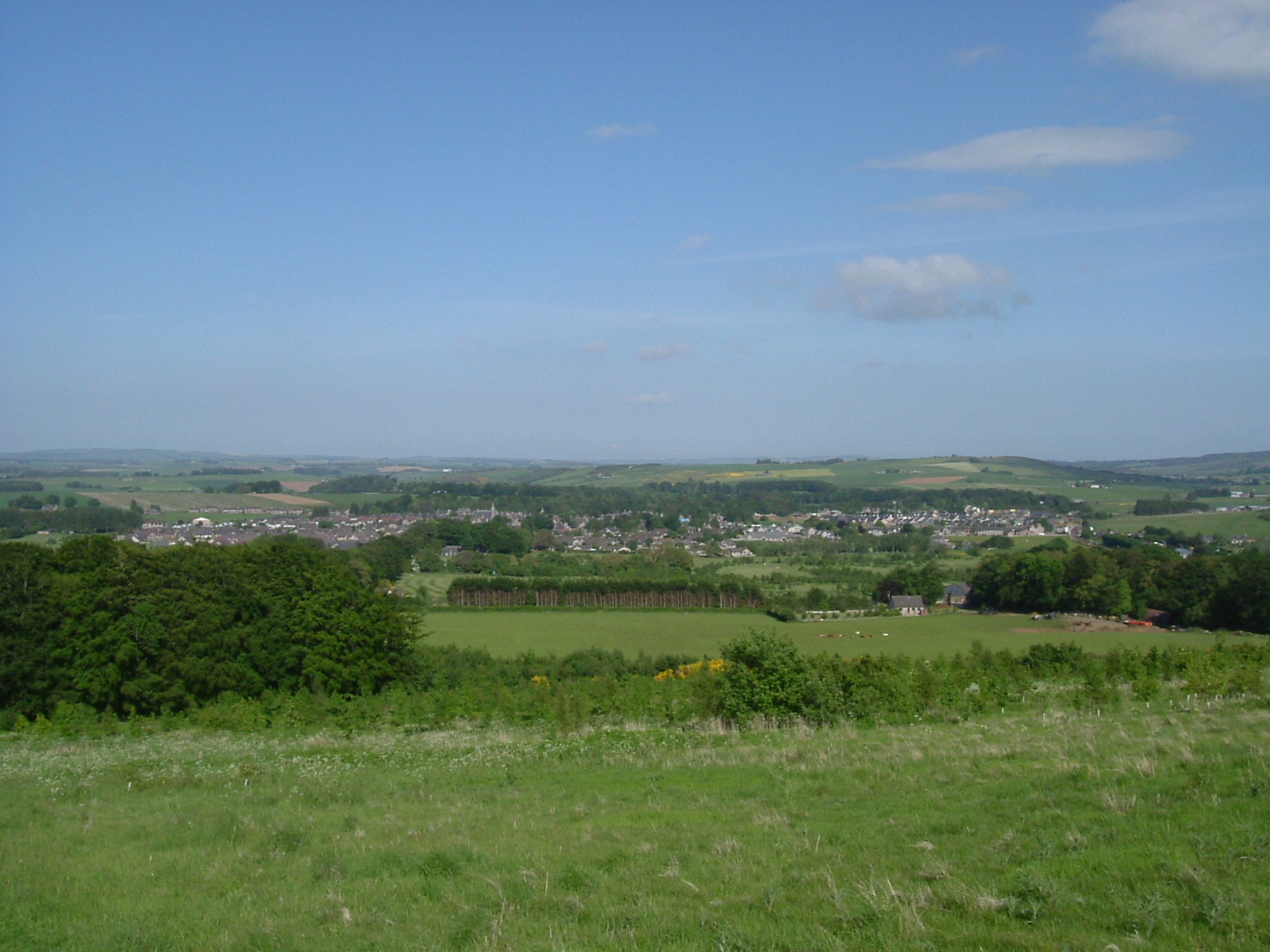
Boddam is a small coastal village located in Upper Aberdeenshire, Scotland. Situated on the North Sea coast, Boddam offers stunning views of the sea and surrounding countryside. The village is known for its fishing heritage, with a history of fishing dating back centuries.
Boddam is home to a population of around 1,000 residents and has a close-knit community feel. The village has a range of amenities including a primary school, church, shops, and a local pub. There are also several beautiful beaches nearby, perfect for leisurely walks and enjoying the fresh sea air.
The nearby Boddam Castle, a historic building dating back to the 16th century, adds to the charm of the village. Visitors to Boddam can explore the castle and learn about its fascinating history.
Overall, Boddam is a picturesque village with a rich history and a strong sense of community. Its stunning coastal location and range of amenities make it a popular place to live and visit in Upper Aberdeenshire.
If you have any feedback on the listing, please let us know in the comments section below.
Boddam, Upper Images
Images are sourced within 2km of 57.358886/-2.6332619 or Grid Reference NJ6230. Thanks to Geograph Open Source API. All images are credited.


Boddam, Upper is located at Grid Ref: NJ6230 (Lat: 57.358886, Lng: -2.6332619)
Unitary Authority: Aberdeenshire
Police Authority: North East
What 3 Words
///area.orbit.capillary. Near Insch, Aberdeenshire
Nearby Locations
Related Wikis

Dunnideer Castle
Dunnideer Castle, now ruined, was a tower house located near Insch, Aberdeenshire, Scotland. It was built c. 1260 partially from the remains of an existing...
Insch
Insch (Scottish Gaelic: An Innis or Innis Mo Bheathain) is a village in the Garioch, Aberdeenshire, Scotland. It is located approximately 28 miles (45...
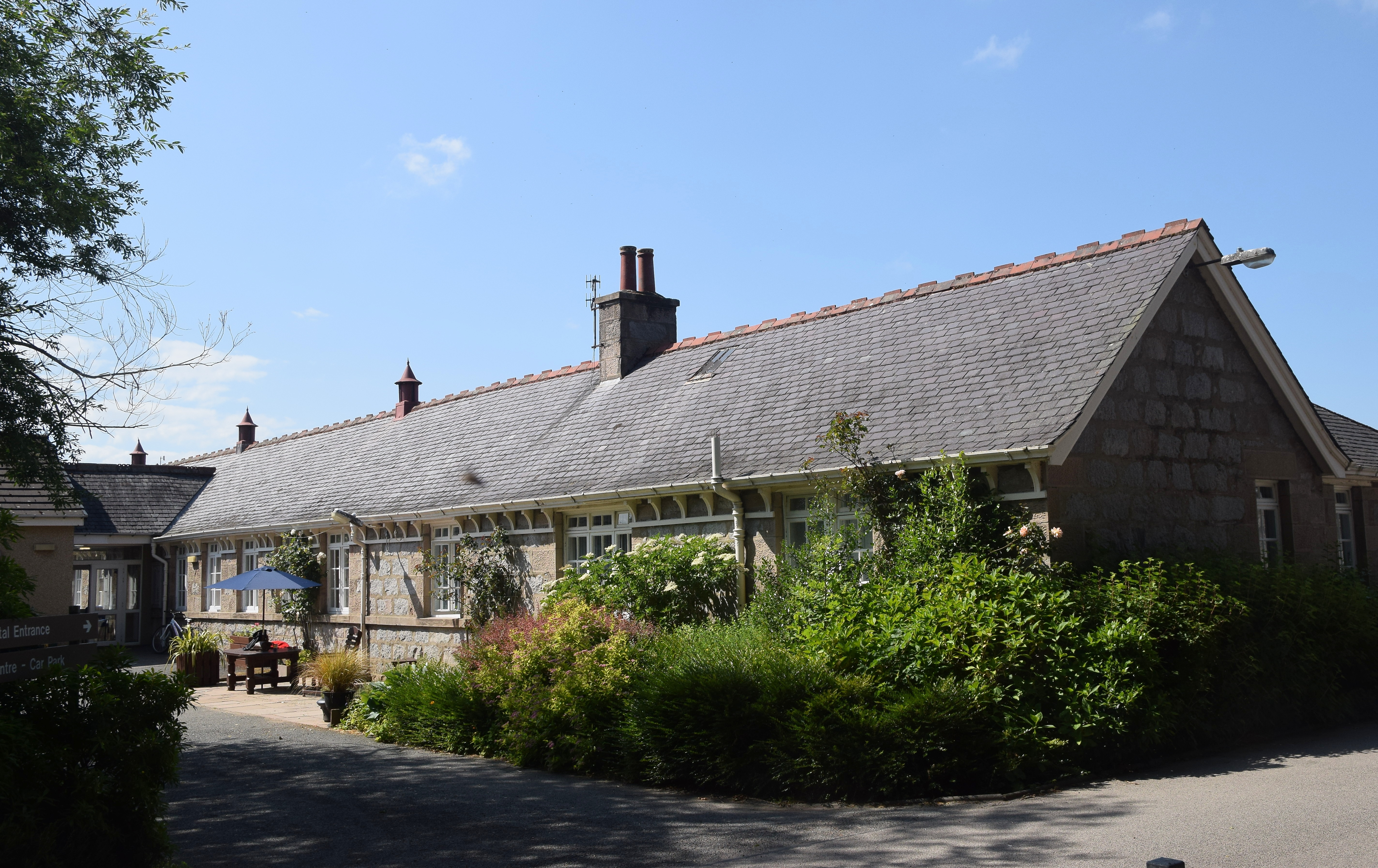
Insch War Memorial Hospital
Insch War Memorial Hospital is a small community hospital located at Insch, Aberdeenshire, Scotland. It is managed by NHS Grampian. == History == The hospital...

Insch railway station
Insch railway station is a railway station serving the village of Insch, Aberdeenshire, Scotland. The station is managed by ScotRail and is on the Aberdeen...
Nearby Amenities
Located within 500m of 57.358886,-2.6332619Have you been to Boddam, Upper?
Leave your review of Boddam, Upper below (or comments, questions and feedback).