Basildon, Upper

Settlement in Berkshire

England

Basildon, Upper

Country lane, Quick's Green, Berkshire
Country lane, Quick's Green, Berkshire Credit: Oswald Bertram

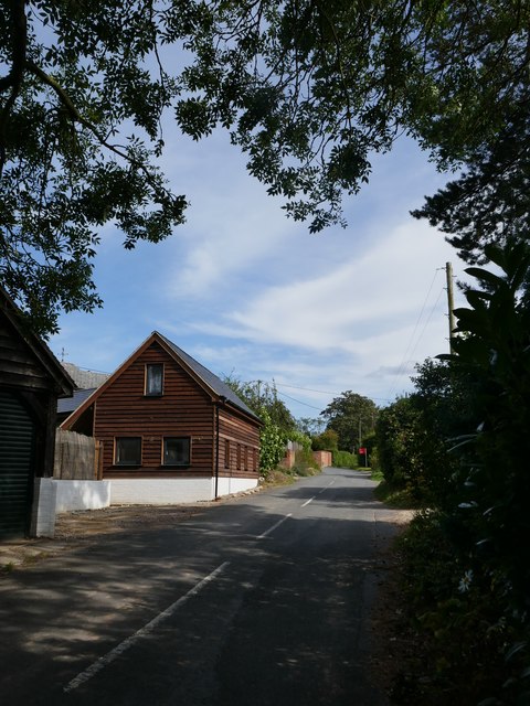
Basildon, Upper, Berkshire is a picturesque village located in the county of Berkshire, England. Situated approximately 6 miles northwest of the town of Reading, Basildon offers a tranquil and idyllic setting with its charming countryside landscape.

The village is renowned for its historical significance, dating back to the medieval era. It is home to several ancient buildings and landmarks, including St. Bartholomew's Church, which dates back to the 13th century. This historic church is a prominent feature of the village and is known for its stunning architecture and intricate stained glass windows.

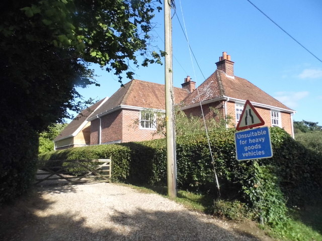
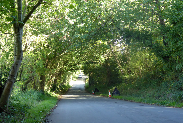
Surrounded by lush green fields and rolling hills, Basildon provides ample opportunities for outdoor activities and leisurely walks. The nearby Basildon Park, a National Trust property, is a popular destination for nature enthusiasts and history buffs alike. This Georgian mansion, set in extensive parkland, offers stunning views of the surrounding countryside and houses an impressive art collection.

Despite its rural charm, Basildon is well-connected to major towns and cities in the region. The village benefits from good transport links, with regular bus services and easy access to the M4 motorway, making it an ideal location for commuting.

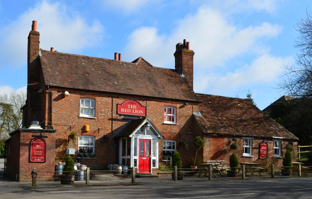
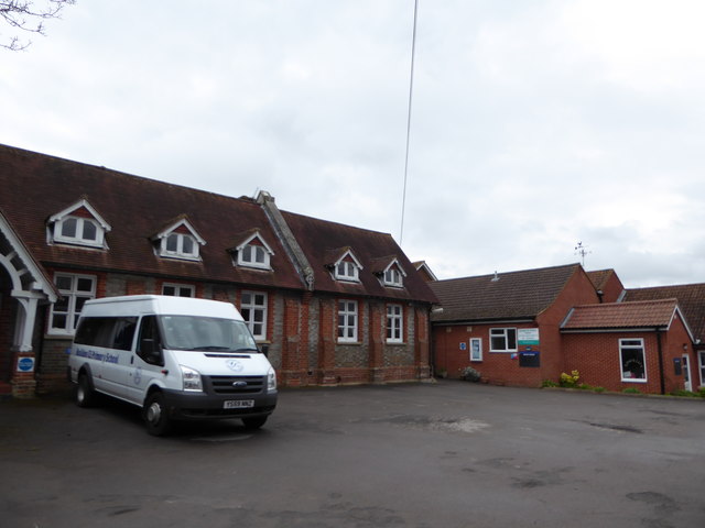
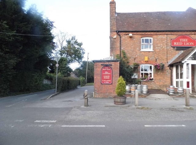
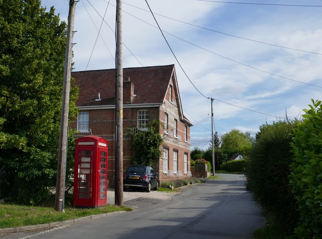
Basildon also boasts a vibrant community spirit, with various local events and festivities taking place throughout the year. The village has a primary school, a village hall, and a pub, providing essential amenities for its residents.

In conclusion, Basildon, Upper, Berkshire is a delightful village that seamlessly combines its rich history with natural beauty. Its tranquil setting, historical landmarks, and friendly community make it a desirable place to live or visit.

If you have any feedback on the listing, please let us know in the comments section below.

Basildon, Upper Images

Images are sourced within 2km of 51.477923/-1.135991 or Grid Reference SU6075. Thanks to Geograph Open Source API. All images are credited.

Country lane, Quick's Green, Berkshire
The Red Lion, Upper Basildon, Berkshire
Farmland, Upper Basildon, Berkshire
Holy Trinity, Buckhold: early April 2016 (now a private house)
Holy Trinity, Buckhold: early April 2016
(now a private house)
Basildon C of E Primary School: early April 2016
House on Gardeners Lane, Upper Basildon
Aldworth Road at the junction of Gardeners Lane
The Red Lion, Upper Basildon Darby Lane is on the left
The Red Lion, Upper Basildon
Darby Lane is on the left
Crossroads on Yattendon Lane, Upper Basildon
The road from Ashampstead Common to Pangbourne There's no name available on any map I can see.
The road from Ashampstead Common to Pangbourne
There's no name available on any map I can see.
'Road Closed' at Hill Corner It wasn't.
'Road Closed' at Hill Corner
It wasn't.
Ashampstead Road, Upper Basildon
House near Bottomhouse Farm
Upper Basildon: former General Stores I wandered around Upper Basildon for a while, without finding an obvious village centre.  The most substantial older building I could find was the one shown here.  I wondered whether it had once been a pub - though village pubs usually stand back a bit from the roadway.  There is an air of importance about it - could it have been a police station?  If so, it would have been unduly large in a small village.  

It was only when I spotted Des Blenkinsop's contribution  <a href="https://www.geograph.org.uk/photo/3756000">SU5976 : General Stores, Upper Basildon</a>   that I saw the 'ghost sign' up at eaves-level. It's still there, but somewhat faded.
Upper Basildon: former General Stores
I wandered around Upper Basildon for a while, without finding an obvious village centre. The most substantial older building I could find was the one shown here. I wondered whether it had once been a pub - though village pubs usually stand back a bit from the roadway. There is an air of importance about it - could it have been a police station? If so, it would have been unduly large in a small village. It was only when I spotted Des Blenkinsop's contribution SU5976 : General Stores, Upper Basildon that I saw the 'ghost sign' up at eaves-level. It's still there, but somewhat faded.
Upper Basildon: view along the Aldworth Road
Little Bowden Lane, Pangbourne
The entrance to North Court, Upper Basildon
Show me another place!

Basildon, Upper is located at Grid Ref: SU6075 (Lat: 51.477923, Lng: -1.135991)

Unitary Authority: West Berkshire

Police Authority: Thames Valley

What 3 Words

///plugged.exacted.escalated. Near Upper Basildon, Berkshire

Related Wikis

Upper Basildon

Upper Basildon is a small village in the civil parish of Basildon (where the United Kingdom 2011 Census population is included), near to Pangbourne, in...

St Andrew's School, Pangbourne

St Andrew's School is an independent preparatory school in the hamlet of Buckhold, near Pangbourne, Berkshire, England. Together with its 'Pre-Prep – Early...

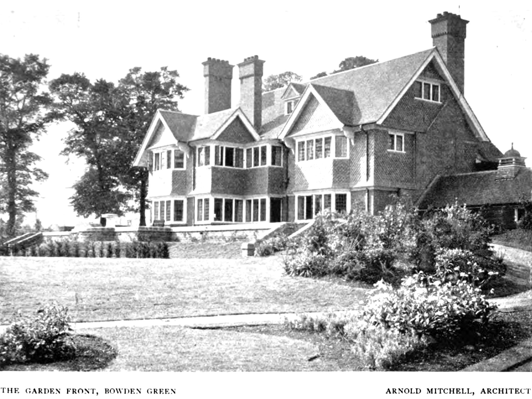
Bowden House, Berkshire

Bowden House, previously called both "Bowden Green" and "Port Jackson", is an English country house. It is a historic Grade II* listed building. The house...

Bere Court

Bere Court is an English country house. It is a historic Grade I listed building. The house is located southwest of Pangbourne, Berkshire where it was...

Nearby Amenities

Located within 500m of 51.477923,-1.135991
Upper Basildon
Place: village
Source: NPE
Wikidata: Q7898478
Wikipedia: en:Upper Basildon
Lat/Long: 51.4820813/-1.1384087
Generator Method: photovoltaic
Generator Output Electricity: yes
Generator Source: solar
Generator Type: solar_photovoltaic_panel
Location: roof
Power: generator
Lat/Long: 51.4789851/-1.1340178
Generator Method: photovoltaic
Generator Output Electricity: yes
Generator Source: solar
Generator Type: solar_photovoltaic_panel
Location: roof
Power: generator
Lat/Long: 51.4788941/-1.1342429
Generator Method: photovoltaic
Generator Output Electricity: yes
Generator Source: solar
Generator Type: solar_photovoltaic_panel
Location: roof
Power: generator
Lat/Long: 51.4789097/-1.1350262
Booth: K6
Covered: booth
Disused Amenity: telephone
Information: local
Man Made: telephone_box
Tourism: information
Lat/Long: 51.481427/-1.1401311
Give Way
Direction: backward
Lat/Long: 51.481021/-1.1400277
Bench
Lat/Long: 51.4794884/-1.1379404
The data included in this document is from www.openstreetmap.org. The data is made available under ODbL.

Have you been to Basildon, Upper?

Leave your review of Basildon, Upper below (or comments, questions and feedback).