Bowbeck

Settlement in Suffolk West Suffolk

England

Bowbeck

Byway to Heath Road
Byway to Heath Road Credit: Jonathan Thacker

Bowbeck is a small village located in the county of Suffolk, England. Situated in the East Anglia region, it is nestled amidst picturesque countryside, characterized by rolling hills, lush green fields, and meandering streams. Bowbeck is known for its idyllic rural charm and tranquil atmosphere, making it an ideal destination for those seeking a peaceful retreat.

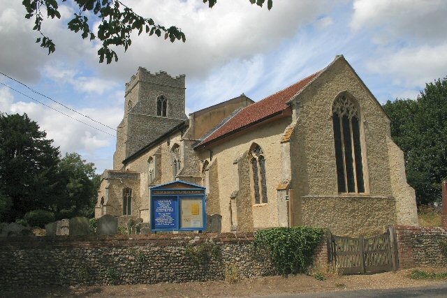
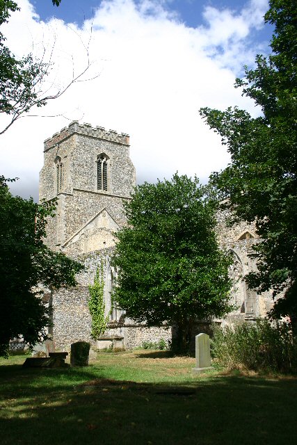
The village itself is home to a close-knit community, with a population of around 300 residents. The architecture in Bowbeck predominantly consists of traditional English cottages, showcasing the area's rich heritage and history. The village center features a quaint church, St. Mary's, which dates back to the 12th century and serves as a reminder of the village's long-standing presence.

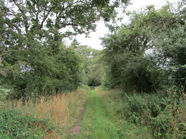
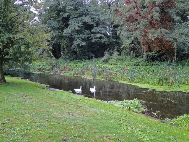
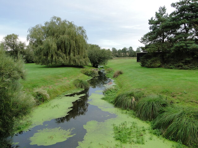
Surrounded by natural beauty, Bowbeck offers ample opportunities for outdoor activities. The nearby Bowbeck Forest provides a haven for nature enthusiasts, with its extensive woodland trails and diverse wildlife. The village is also well-connected to various walking and cycling routes, allowing visitors to explore the surrounding countryside and enjoy the stunning vistas.

Despite its small size, Bowbeck boasts a vibrant community spirit, with several local events and gatherings throughout the year. The village pub, The Bowbeck Arms, serves as a social hub, offering a friendly atmosphere and a selection of locally sourced food and drinks.

Overall, Bowbeck is a charming village that offers a serene escape from the hustle and bustle of city life. Its natural beauty, historic landmarks, and welcoming community make it a hidden gem within the Suffolk countryside.

If you have any feedback on the listing, please let us know in the comments section below.
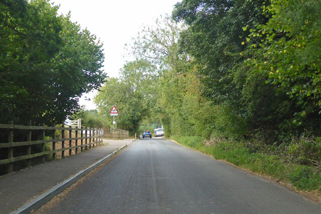
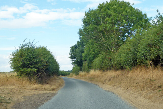
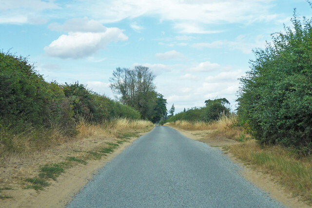
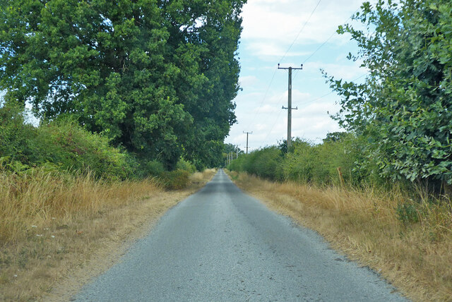
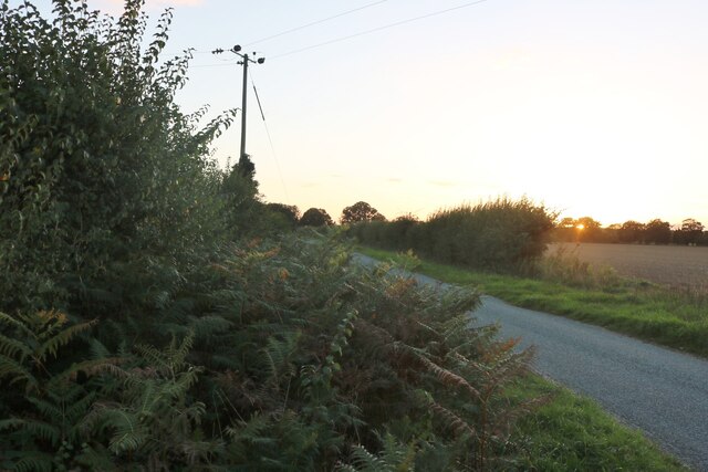
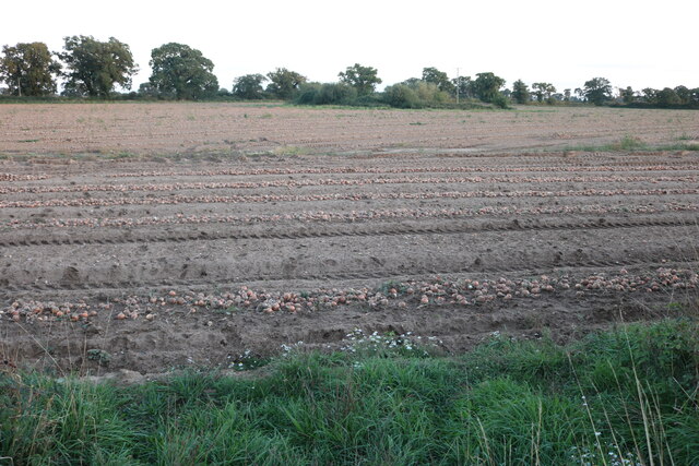
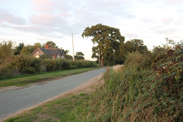
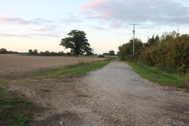
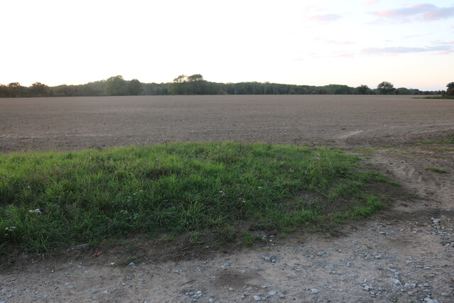
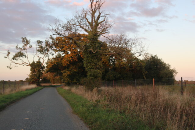
Bowbeck Images

Images are sourced within 2km of 52.342295/0.85260309 or Grid Reference TL9475. Thanks to Geograph Open Source API. All images are credited.

Byway to Heath Road
Byway to Heath Road
Field in the rain near Sapiston
Bardwell Watermill The 19th century mill straddles The Black Bourn river, has three floors with the lucum on the north side. It has a brick ground storey, and is timber-framed above, with C20 replacement tarred weatherboarding and a slate roof. The internal undershot waterwheel is now without its paddles but can be seen here. <a title="https://www.geograph.org.uk/photo/6980462" href="https://www.geograph.org.uk/photo/6980462">Link</a>  All the working machinery has been removed, apart from a few pieces on the top floor.
The miller's house which is undergoing restoration, adjoins the mill.
<a title="https://www.geograph.org.uk/photo/6980599" href="https://www.geograph.org.uk/photo/6980599">Link</a>
Bardwell Watermill
The 19th century mill straddles The Black Bourn river, has three floors with the lucum on the north side. It has a brick ground storey, and is timber-framed above, with C20 replacement tarred weatherboarding and a slate roof. The internal undershot waterwheel is now without its paddles but can be seen here. Link All the working machinery has been removed, apart from a few pieces on the top floor. The miller's house which is undergoing restoration, adjoins the mill. Link
Bardwell Watermill, the undershot wheel The wheel has lost all its paddles but is still in situ in the millrace.
The 19th century mill straddles The Black Bourn river, has three floors with the lucum on the north side. It has a brick ground storey, and is timber-framed above, with C20 replacement tarred weatherboarding and a slate roof. The internal undershot waterwheel is now without its paddles but can be seen here. All the working machinery has been removed, apart from a few pieces on the top floor.
The miller's house which is undergoing restoration, adjoins the mill. <a title="https://www.geograph.org.uk/photo/6980455" href="https://www.geograph.org.uk/photo/6980455">Link</a>
Bardwell Watermill, the undershot wheel
The wheel has lost all its paddles but is still in situ in the millrace. The 19th century mill straddles The Black Bourn river, has three floors with the lucum on the north side. It has a brick ground storey, and is timber-framed above, with C20 replacement tarred weatherboarding and a slate roof. The internal undershot waterwheel is now without its paddles but can be seen here. All the working machinery has been removed, apart from a few pieces on the top floor. The miller's house which is undergoing restoration, adjoins the mill. Link
Bardwell Watermill The 19th century mill straddles The Black Bourn river, has three floors with the lucum on the north side. It has a brick ground storey, and is timber-framed above, with C20 replacement tarred weatherboarding and a slate roof. The internal undershot waterwheel is now without its paddles but can be seen here. <a title="https://www.geograph.org.uk/photo/6980462" href="https://www.geograph.org.uk/photo/6980462">Link</a> All the working machinery has been removed, apart from a few pieces on the top floor.
The miller's house which is undergoing restoration, adjoins the mill.
<a title="https://www.geograph.org.uk/photo/6980455" href="https://www.geograph.org.uk/photo/6980455">Link</a>
Bardwell Watermill
The 19th century mill straddles The Black Bourn river, has three floors with the lucum on the north side. It has a brick ground storey, and is timber-framed above, with C20 replacement tarred weatherboarding and a slate roof. The internal undershot waterwheel is now without its paddles but can be seen here. Link All the working machinery has been removed, apart from a few pieces on the top floor. The miller's house which is undergoing restoration, adjoins the mill. Link
The tailrace at Bardwell Watermill This is the water that has been through the mill and is about to rejoin the Black Bourn on its course to the Little Ouse south of Thetford.
To see the mill : <a href="https://www.geograph.org.uk/photo/6980455">TL9374 : Bardwell Watermill</a> 
<a href="https://www.geograph.org.uk/photo/6980462">TL9374 : Bardwell Watermill, the undershot wheel</a> 
<a href="https://www.geograph.org.uk/photo/6980599">TL9374 : Bardwell Watermill</a> 
<a href="https://www.geograph.org.uk/photo/6980609">TL9374 : Swans on the headrace at Bardwell watermill</a>
The tailrace at Bardwell Watermill
This is the water that has been through the mill and is about to rejoin the Black Bourn on its course to the Little Ouse south of Thetford. To see the mill : TL9374 : Bardwell Watermill TL9374 : Bardwell Watermill, the undershot wheel TL9374 : Bardwell Watermill TL9374 : Swans on the headrace at Bardwell watermill
Spring Road, Bardwell Heading north out of the village.
Spring Road, Bardwell
Heading north out of the village.
Lane towards Coney Weston From Bardwell.
Lane towards Coney Weston
From Bardwell.
Lane towards Coney Weston From Bardwell.
Lane towards Coney Weston
From Bardwell.
Lane towards Coney Weston From Bardwell.
Lane towards Coney Weston
From Bardwell.
Heath Road, Coney Weston
Onions growing in Coney Weston These were all ready for picking.
Onions growing in Coney Weston
These were all ready for picking.
Heath Road, Coney Weston Looking towards Weston Green Lodge.
Heath Road, Coney Weston
Looking towards Weston Green Lodge.
Field in Coney Weston
Heath Road, Sapiston
Heath Road between Sapiston and Coney Weston
Show me another place!

Bowbeck is located at Grid Ref: TL9475 (Lat: 52.342295, Lng: 0.85260309)

Administrative County: Suffolk

District: West Suffolk

Police Authority: Suffolk

What 3 Words

///shuttered.handrail.artichoke. Near Ixworth, Suffolk

Nearby Locations

Bowbeck

Related Wikis

Bowbeck

Bowbeck is a hamlet in Suffolk, England. == External links == Media related to Bowbeck at Wikimedia Commons

Bardwell Windmill

Bardwell Mill is a Grade II* listed tower mill at Bardwell, Suffolk, England, which is under restoration. == History == Bardwell Mill was built in 1823...

Stanton Chare

Stanton Chare is a hamlet in West Suffolk district, Suffolk, England. It is near the large village of Stanton. The A143 road and B1111 road are nearby...

Barningham, Suffolk

Barningham is a village and civil parish in the West Suffolk district of Suffolk, England, about twelve miles north-east of Bury St Edmunds. According...

St John the Baptist's Church, Stanton

St John the Baptist's Church is a redundant Anglican church in the village of Stanton, Suffolk, England. It is recorded in the National Heritage List...

Fakenham Wood and Sapiston Great Grove

Fakenham Wood and Sapiston Great Grove is a 200.7-hectare (496-acre) biological Site of Special Scientific Interest north of Sapiston in Suffolk.These...

St Andrew's Church, Sapiston

St Andrew's Church is a redundant Anglican church in the village of Sapiston, Suffolk, England. It is recorded in the National Heritage List for England...

Sapiston

Sapiston is a small village and civil parish in the West Suffolk district of Suffolk in eastern England, located near the Suffolk-Norfolk border. It is...

Nearby Amenities

Located within 500m of 52.342295,0.85260309
The data included in this document is from www.openstreetmap.org. The data is made available under ODbL.

Have you been to Bowbeck?

Leave your review of Bowbeck below (or comments, questions and feedback).