Affcot, Upper
Settlement in Shropshire
England
Affcot, Upper
Affcot is a small rural village located in the county of Shropshire, in the West Midlands region of England. Situated in the upper part of the county, Affcot is surrounded by picturesque countryside, offering residents and visitors a tranquil and scenic environment.
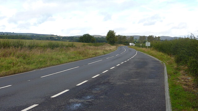
The village is situated approximately 7 miles south of the town of Church Stretton and around 15 miles southwest of Shrewsbury, the county town of Shropshire. Affcot is nestled within the beautiful Shropshire Hills Area of Outstanding Natural Beauty, providing stunning views and opportunities for outdoor activities such as hiking, cycling, and wildlife spotting.
The village itself is characterized by its charming rural architecture, with a mix of traditional stone cottages and more modern houses. The community is small and tight-knit, fostering a friendly and welcoming atmosphere. Amenities in the village are limited, with a small number of local businesses including a village hall and a farm shop, which offers locally sourced produce.
Although Affcot is predominantly a residential area, it benefits from its proximity to nearby towns and villages, where residents can access a wider range of services and amenities including shops, schools, and healthcare facilities.
Affcot is an ideal location for those seeking a peaceful lifestyle in a beautiful natural setting. Its rural charm and close proximity to the Shropshire Hills make it an attractive place for nature enthusiasts and those looking to escape the hustle and bustle of city life.
If you have any feedback on the listing, please let us know in the comments section below.
Affcot, Upper Images
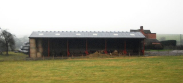
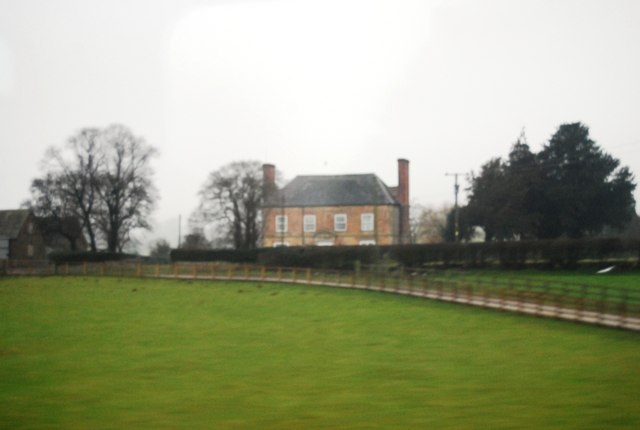
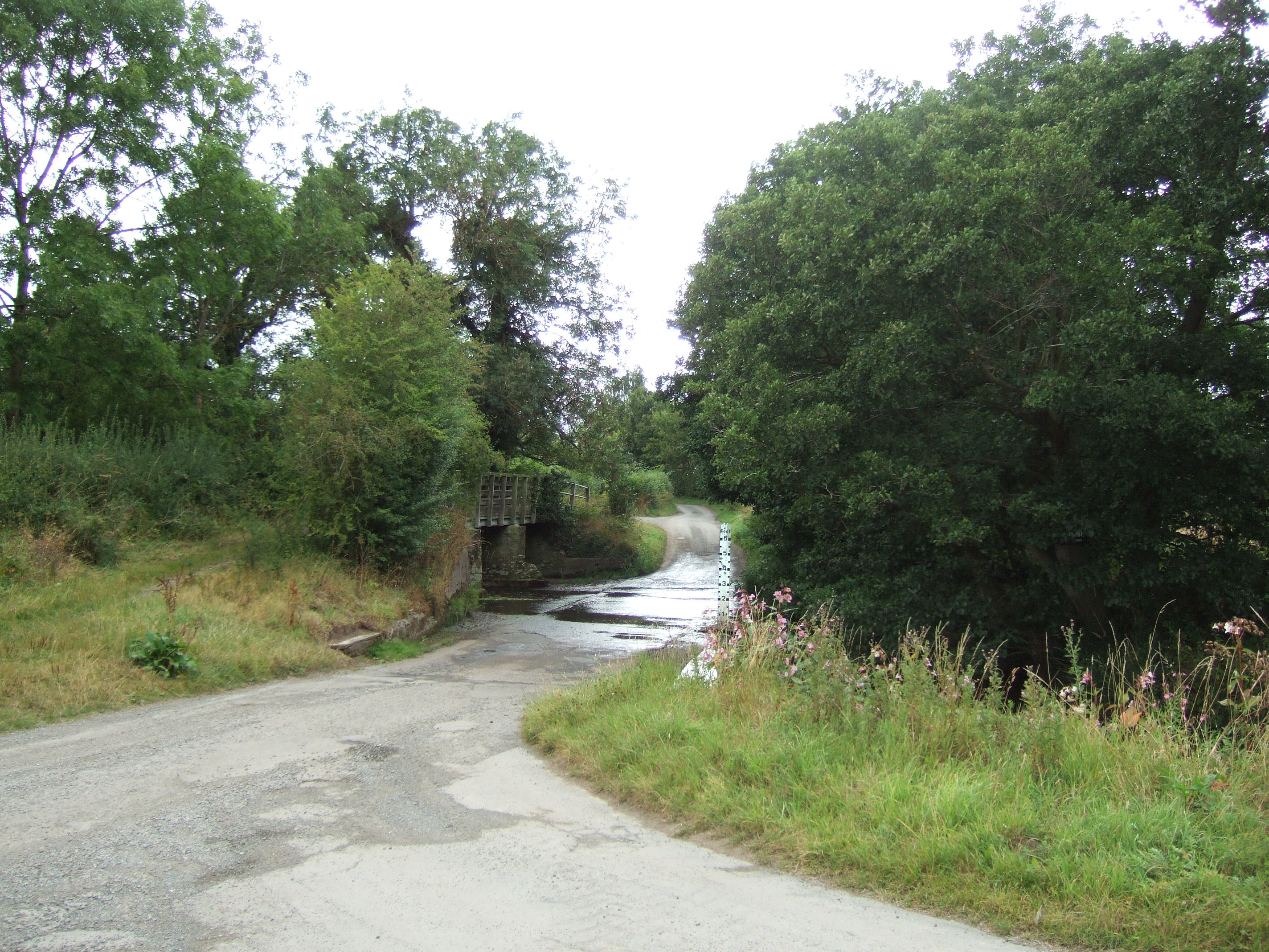
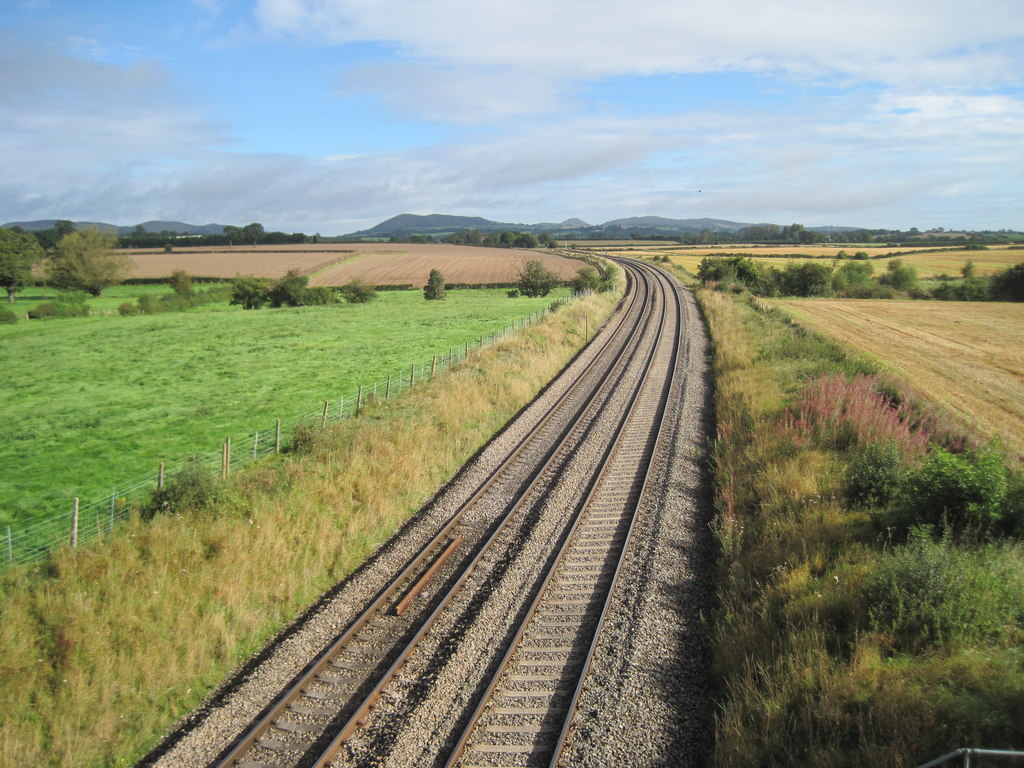
Images are sourced within 2km of 52.474104/-2.819131 or Grid Reference SO4486. Thanks to Geograph Open Source API. All images are credited.
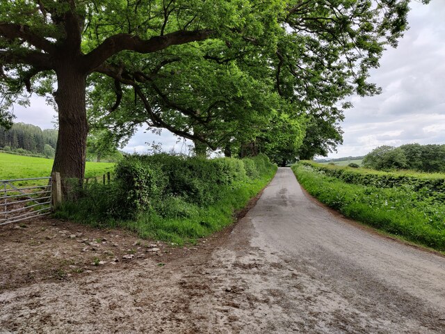


![Road junction, near Moorwood The lane heading left [west] at the grass triangle continues past Moorwood House as a bridleway and in the 1880s led to quarries and a limekiln. The lane going right [north-east] heads to Westhope.](https://s3.geograph.org.uk/geophotos/07/20/87/7208739_88bcd5ce.jpg)


Affcot, Upper is located at Grid Ref: SO4486 (Lat: 52.474104, Lng: -2.819131)
Unitary Authority: Shropshire
Police Authority: West Mercia
What 3 Words
///kitchen.reservoir.gliders. Near Craven Arms, Shropshire
Nearby Locations
Related Wikis

Upper Affcot
Upper Affcot is a hamlet in Shropshire, England. It is located on the A49 north of Craven Arms and south of Church Stretton, between the hamlets of Strefford...

Felhampton
Felhampton is a hamlet in Shropshire, England. It is around 3.5 miles (5.6 km) north of Craven Arms, and 17 miles (27 km) south of Shrewsbury. The hamlet...
Strefford
Strefford is a historic hamlet in Shropshire, England. It lies in the civil parish of Wistanstow and is situated just off the A49 road 2 miles (3.2 km...

Wistanstow
Wistanstow is a village and parish in Shropshire, England. Wistanstow is located about 5 miles (8.0 km) south of Church Stretton and 8+1⁄2 miles (13.7...

Alcaston
Alcaston is a village in Shropshire, England. == See also == Listed buildings in Acton Scott == External links == Media related to Alcaston at Wikimedia...

Bushmoor
Bushmoor is a hamlet in Shropshire, England. It is located in the parish of Wistanstow, 1¼ miles north of that village, and half a mile west of the A49...
Wistanstow Halt railway station
Wistanstow Halt railway station was a station in Wistanstow, Shropshire, England. The station was opened in 1934 and closed in 1956. == References... ==

Marsh Farm Junction
Marsh Farm Junction was a railway junction in Shropshire where the GWR's line from Buildwas via Much Wenlock joined the LNWR/GWR joint line between Shrewsbury...
Nearby Amenities
Located within 500m of 52.474104,-2.819131Have you been to Affcot, Upper?
Leave your review of Affcot, Upper below (or comments, questions and feedback).