Uckington

Settlement in Gloucestershire Tewkesbury

England

Uckington

M5 electricity cables crossing Southbound at marker A79.3
M5 electricity cables crossing Credit: J.Hannan-Briggs

Uckington is a small village located in the county of Gloucestershire, England. Situated about 6 miles southeast of the city of Gloucester, Uckington is a picturesque settlement that exudes a sense of tranquility and rural charm.

The village is nestled in the heart of the Gloucestershire countryside, surrounded by lush green fields and rolling hills. It is characterized by its quaint and well-preserved stone cottages, many of which date back several centuries. The architecture in Uckington reflects its rich history and traditional English heritage.

Despite its small size, Uckington boasts a close-knit community that takes pride in its village. The residents are known for their friendly and welcoming nature, making Uckington an inviting place for visitors. The village also has a strong sense of community spirit, with various local events and gatherings taking place throughout the year.

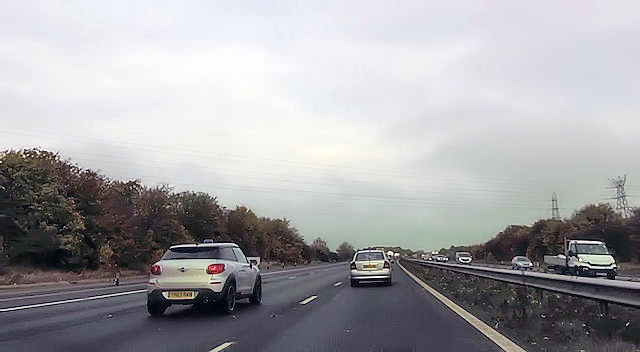
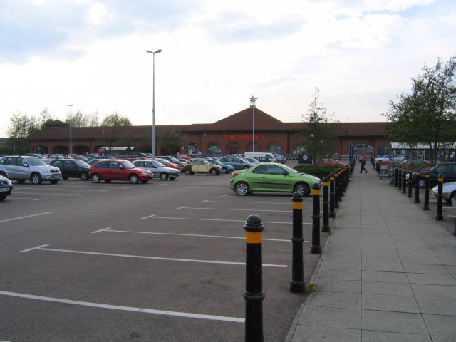
Uckington benefits from its proximity to the nearby city of Gloucester, which provides access to a range of amenities and services. The village is well-connected to the surrounding areas through a network of roads, making it easily accessible for both residents and visitors.

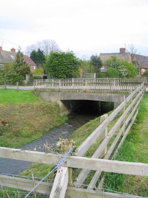
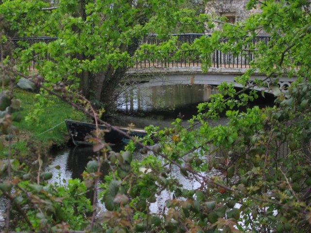
For nature enthusiasts, Uckington offers plenty of opportunities to explore the great outdoors. The village is surrounded by beautiful countryside, making it an ideal location for scenic walks, cycling, and horse riding. The nearby River Severn also provides opportunities for boating and fishing.

Overall, Uckington is a charming and picturesque village that offers a peaceful and idyllic setting for those seeking a rural retreat in Gloucestershire.

If you have any feedback on the listing, please let us know in the comments section below.
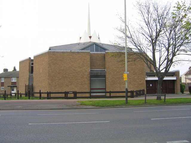
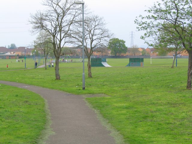
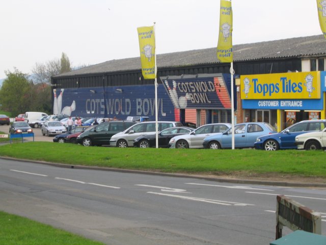
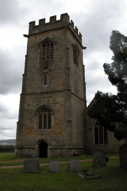
Uckington Images

Images are sourced within 2km of 51.922377/-2.1225047 or Grid Reference SO9124. Thanks to Geograph Open Source API. All images are credited.

M5 electricity cables crossing Southbound at marker A79.3
M5 electricity cables crossing
Southbound at marker A79.3
Power lines crossing M5
Tewkesbury Borough : M5 Motorway The M5 Motorway between Junction 11 (Golden Valley Junction) and Junction 10 (Piffs Elm).
Tewkesbury Borough : M5 Motorway
The M5 Motorway between Junction 11 (Golden Valley Junction) and Junction 10 (Piffs Elm).
Southbound M5 near Staverton The M5 runs 163 miles from a junction with the M6 at West Bromwich near Birmingham to Exeter in Devon. Constructed between 1962 & 1977. It links the North and Midlands with the South west. <span class="nowrap"><a title="http://en.wikipedia.org/wiki/M5_motorway" rel="nofollow ugc noopener" href="http://en.wikipedia.org/wiki/M5_motorway">Link</a><img style="margin-left:2px;" alt="External link" title="External link - shift click to open in new window" src="https://s1.geograph.org.uk/img/external.png" width="10" height="10"/></span>
Southbound M5 near Staverton
The M5 runs 163 miles from a junction with the M6 at West Bromwich near Birmingham to Exeter in Devon. Constructed between 1962 & 1977. It links the North and Midlands with the South west. LinkExternal link
Boddington : M5 Motorway The M5 Motorway between Junction 11 (Golden Valley Junction) and Junction 10 (Piffs Elm).
Boddington : M5 Motorway
The M5 Motorway between Junction 11 (Golden Valley Junction) and Junction 10 (Piffs Elm).
M5 Motorway south of junction 10
Tewkesbury : The M5 Motorway Northbound Heading north along the M5 motorway towards the Midlands.
Tewkesbury : The M5 Motorway Northbound
Heading north along the M5 motorway towards the Midlands.
M5 south near Staverton
Pylons and cables by the M5 at Staverton Two power lines cross the motorway near Staverton.  They diverge about a kilometre to the west.  On the left is what appears to be a half-finished slip road, which is matched by a similar one on the southbound carriageway
Pylons and cables by the M5 at Staverton
Two power lines cross the motorway near Staverton. They diverge about a kilometre to the west. On the left is what appears to be a half-finished slip road, which is matched by a similar one on the southbound carriageway
Pylons by the M5
Pylons by the M5
Hayden Farm Pretty farm buildings just off the B4634.
Hayden Farm
Pretty farm buildings just off the B4634.
Withy Bridge The River Chelt flowing westward to the Severn passes under a minor road here.
Withy Bridge
The River Chelt flowing westward to the Severn passes under a minor road here.
Uckington Moat A mediaeval moated site.  Little of the mediaeval buildings remain, apart from the moat itself which now surrounds some much later buildings.
Uckington Moat
A mediaeval moated site. Little of the mediaeval buildings remain, apart from the moat itself which now surrounds some much later buildings.
Sainsbury's Supermarket This superstore is the anchor of the Gallagher Retail Park on the A4019 (Tewksbury Road). Circulation is anticlockwise.
Sainsbury's Supermarket
This superstore is the anchor of the Gallagher Retail Park on the A4019 (Tewksbury Road). Circulation is anticlockwise.
St Thomas More Church A Roman Catholic Church on Princess Elizabeth Way.
St Thomas More Church
A Roman Catholic Church on Princess Elizabeth Way.
Springbank Park A patch of green in the heart of the Hester's Way estate on the Northwestern edge of Cheltenham.
Springbank Park
A patch of green in the heart of the Hester's Way estate on the Northwestern edge of Cheltenham.
Cotswold Bowl Ten Pin Bowling Lanes Cotswold Bowl is in the heart of the Kingsditch industrial estate.
Cotswold Bowl Ten Pin Bowling Lanes
Cotswold Bowl is in the heart of the Kingsditch industrial estate.
Elmstone Hardwicke Church St Mary Magdalene church, Elmstone Hardwicke.
Elmstone Hardwicke Church
St Mary Magdalene church, Elmstone Hardwicke.
Show me another place!

Uckington is located at Grid Ref: SO9124 (Lat: 51.922377, Lng: -2.1225047)

Administrative County: Gloucestershire

District: Tewkesbury

Police Authority: Gloucestershire

What 3 Words

///ridge.duty.older. Near Cheltenham, Gloucestershire

Nearby Locations

Uckington

Related Wikis

Uckington, Gloucestershire

Uckington is a village west of Cheltenham in Gloucestershire. The population of the parish taken at the 2011 census was 605.Not having a church, Uckington...

Elmstone Hardwicke

Elmstone Hardwicke is a village and sizeable parish north-west of Cheltenham in Gloucestershire, England. St Mary Magdelene Church may be considered the...

Hesters Way

Cheltenham West is an area in the western part of Cheltenham, Gloucestershire, England. It is the generic name for an area which includes the council wards...

Arle, Cheltenham

Arle is a district of Cheltenham in Gloucestershire, England. It was historically a manorial estate which owned parts of the town now known as Hesters...

Nearby Amenities

Located within 500m of 51.922377,-2.1225047
Uckington
Place: village
Source: npe / knowledge
Wikidata: Q7876794
Wikipedia: en:Uckington, Gloucestershire
Lat/Long: 51.9229836/-2.120481
Bus Stop
Moat Lane
Bus: yes
Naptan AtcoCode: 1600GL4939
Naptan Bearing: NW
Naptan CommonName: Moat Lane
Naptan Indicator: nr
Naptan NaptanCode: glodpadg
Naptan Street: Tewkesbury Road A4019
Public Transport: platform
Shelter: yes
Source: naptan_import;survey
Lat/Long: 51.9219875/-2.1214458
Bus Stop
Moat Lane
Bus: yes
Naptan AtcoCode: 1600GL4940
Naptan Bearing: SE
Naptan CommonName: Moat Lane
Naptan Indicator: opp
Naptan NaptanCode: glodpadw
Naptan Street: Tewkesbury Road A4019
Public Transport: platform
Shelter: yes
Source: naptan_import;survey
Lat/Long: 51.9221469/-2.1211417
Bus Stop
The Green
Bus: yes
Naptan AtcoCode: 1600GLA851
Naptan Bearing: NE
Naptan CommonName: The Green
Naptan Indicator: Opp
Naptan NaptanCode: glodmwta
Naptan Street: Hardwicke Ln
Naptan Verified: no
Public Transport: platform
Source: naptan_import
Lat/Long: 51.9227954/-2.1222941
Bus Stop
The Green
Bus: yes
Naptan AtcoCode: 1600GLA852
Naptan Bearing: SW
Naptan CommonName: The Green
Naptan NaptanCode: glodmwtd
Naptan Street: Hardwicke Ln
Naptan Verified: no
Public Transport: platform
Source: naptan_import
Lat/Long: 51.9228315/-2.1221633
Bus Stop
Cooks Lane
Bench: no
Bin: no
Bus: yes
Mapillary: 744354442915283
Naptan AtcoCode: 1600GLA853
Naptan Bearing: NW
Naptan CommonName: Cooks Lane
Naptan Indicator: nr
Naptan NaptanCode: glodmwda
Naptan Street: Tewkesbury Road
Public Transport: platform
Shelter: no
Source: naptan_import;survey
Survey Date: 2020-07-08
Lat/Long: 51.923596/-2.1268549
Bus Stop
Cooks Lane
Bus: yes
Naptan AtcoCode: 1600GLA854
Naptan Bearing: SE
Naptan CommonName: Cooks Lane
Naptan Indicator: opp
Naptan NaptanCode: glodmwdm
Naptan Street: Tewkesbury Road
Naptan Verified: no
Public Transport: platform
Source: naptan_import
Lat/Long: 51.9235642/-2.1264987
Barrier: kissing_gate
Lat/Long: 51.9211829/-2.1226724
Barrier: kissing_gate
Lat/Long: 51.9199366/-2.1226401
Barrier: kissing_gate
Foot: yes
Lat/Long: 51.9213306/-2.11794
Barrier: kissing_gate
Foot: yes
Lat/Long: 51.9235849/-2.1189402
Barrier: kissing_gate
Foot: yes
Note: There are two kissing gates very close together here.
Lat/Long: 51.9236144/-2.1189555
Traffic Signals
Note: Signals for fire station
Traffic Signals: emergency
Traffic Signals Direction: backward
Lat/Long: 51.9210911/-2.1173645
Power: pole
Transformer: distribution
Lat/Long: 51.9193199/-2.117321
Power: pole
Lat/Long: 51.9203836/-2.11898
Power: pole
Lat/Long: 51.9222802/-2.1194494
Power: pole
Lat/Long: 51.9215548/-2.1196251
Power: pole
Lat/Long: 51.9195118/-2.1170931
Power: pole
Lat/Long: 51.9199394/-2.1180399
Uckington Village
Power: pole
Transformer: distribution
Voltage Primary: 11000
Lat/Long: 51.9217302/-2.1220806
Power: pole
Lat/Long: 51.9209676/-2.1201736
Power: pole
Lat/Long: 51.9212455/-2.1206456
Power: pole
Lat/Long: 51.9216094/-2.121284
Power: pole
Lat/Long: 51.9213629/-2.1221195
Post Box
Brand: Royal Mail
Brand Wikidata: Q638098
Operator: Royal Mail
Operator Wikidata: Q638098
Ref: GL51 118
Lat/Long: 51.9221497/-2.1209861
Entrance: yes
Lat/Long: 51.9220368/-2.1222721
Cooks Lane
Power: pole
Transformer: distribution
Voltage Primary: 11000
Lat/Long: 51.9229328/-2.1270715
Power: pole
Lat/Long: 51.923039/-2.1280807
Power: pole
Lat/Long: 51.9231044/-2.1287466
Power: pole
Lat/Long: 51.9231908/-2.1295908
Home Croft
Location Transition: yes
Power: pole
Transformer: distribution
Voltage Primary: 11000
Lat/Long: 51.9200511/-2.1165036
Uckington Church
Power: pole
Transformer: distribution
Voltage Primary: 11000
Lat/Long: 51.9247854/-2.1210788
Power: pole
Lat/Long: 51.9241916/-2.1205223
Power: pole
Lat/Long: 51.9236383/-2.1200059
Power: pole
Lat/Long: 51.922879/-2.119318
The data included in this document is from www.openstreetmap.org. The data is made available under ODbL.

Have you been to Uckington?

Leave your review of Uckington below (or comments, questions and feedback).