Tydraw

Settlement in Glamorgan

Wales

Tydraw

Benchmark on Railway Bridge This tiny Benchmark can be found on the SW buttress of the railway bridge on Nantong Way.
Benchmark on Railway Bridge Credit: Adrian Dust

Tydraw is a small village located in the county of Glamorgan, Wales. It is situated in the southern part of the country and is surrounded by picturesque countryside. The village is known for its tranquility and natural beauty, making it a popular destination for those seeking a peaceful getaway.

One of the notable features of Tydraw is its rich history. The village has been inhabited for centuries and has several historical landmarks that attract tourists. The Tydraw Castle, a medieval fortress dating back to the 12th century, is a prominent attraction in the area. Visitors can explore the castle ruins and learn about its fascinating past.

In addition to its historical significance, Tydraw offers a range of recreational activities for residents and visitors alike. The village is home to several walking trails, providing opportunities for outdoor enthusiasts to explore the surrounding countryside. The nearby Glamorgan Heritage Coastline is also easily accessible from Tydraw, offering stunning views of the sea and cliffs.

Despite its small size, Tydraw has a close-knit community that takes pride in preserving the village's heritage. The residents are friendly and welcoming, and there are several local businesses that contribute to the village's economy. The village also has a primary school and a community center, providing essential services to its residents.

Overall, Tydraw is a charming village that combines natural beauty with a rich history. Whether you are interested in exploring historical landmarks or enjoying outdoor activities, Tydraw offers a unique and enjoyable experience for all.

If you have any feedback on the listing, please let us know in the comments section below.
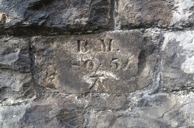
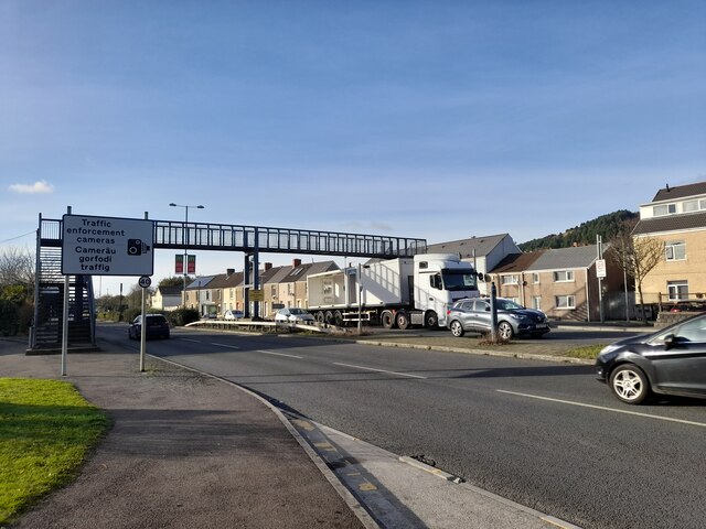
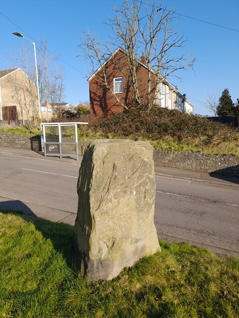
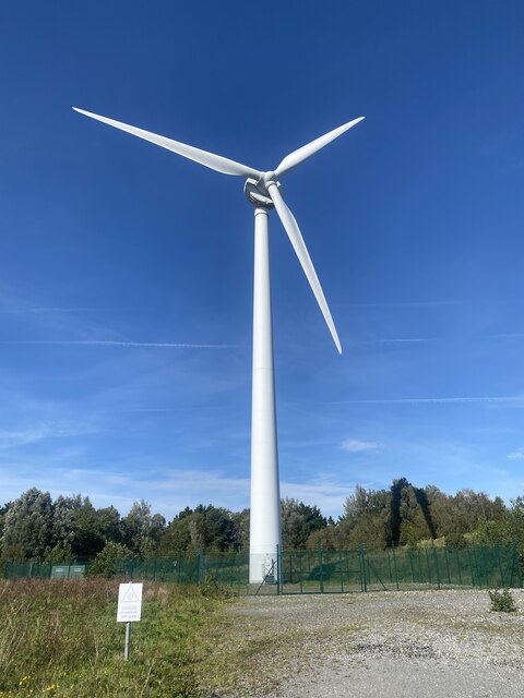
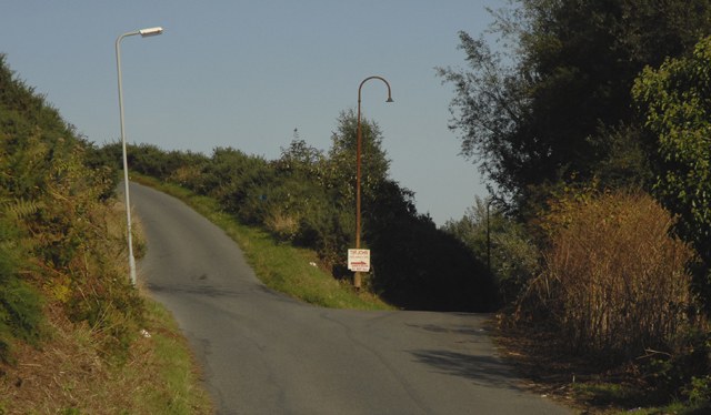
Tydraw Images

Images are sourced within 2km of 51.637143/-3.903673 or Grid Reference SS6894. Thanks to Geograph Open Source API. All images are credited.

Benchmark on Railway Bridge This tiny Benchmark can be found on the SW buttress of the railway bridge on Nantong Way.
Benchmark on Railway Bridge
This tiny Benchmark can be found on the SW buttress of the railway bridge on Nantong Way.
Ordnance Survey Cut Mark This OS cut mark can be found on the wall in front of No15 Harbour View. It marks a point 56.294m above mean sea level.
Ordnance Survey Cut Mark
This OS cut mark can be found on the wall in front of No15 Harbour View. It marks a point 56.294m above mean sea level.
Footbridge over Fabian Way Taken from the westbound "Vale of Neath" bus stop on the road entering Port Tennant. The houses beyond the bridge are in the neighbouring square SS6793.
Footbridge over Fabian Way
Taken from the westbound "Vale of Neath" bus stop on the road entering Port Tennant. The houses beyond the bridge are in the neighbouring square SS6793.
Bronze Age Standing Stone 1.3m high with base 1.2m x 0.5m.
Bronze Age Standing Stone
1.3m high with base 1.2m x 0.5m.
Crippled Wagons These MEA coal wagons are awaiting repair in Burrows sidings.  The nearest wagon has a buffer missing and the rust on the wheels indicates that they have been there for a considerable time.
Crippled Wagons
These MEA coal wagons are awaiting repair in Burrows sidings. The nearest wagon has a buffer missing and the rust on the wheels indicates that they have been there for a considerable time.
Wind turbine
Wind turbine
Kilvey Hill Transmitters Kilvey Hill lies to the west of Swansea, just across the river Tawe from the city centre, and can be seen from all over the city.
Kilvey Hill Transmitters
Kilvey Hill lies to the west of Swansea, just across the river Tawe from the city centre, and can be seen from all over the city.
Swansea Vale Rail Yard The small Swansea Vale railway is being restored here at the south end of the line.
Swansea Vale Rail Yard
The small Swansea Vale railway is being restored here at the south end of the line.
Junction of Dinam Road and Tir-John Civic Amenities Site
Tir-isaf Farm off Dinam Road
Disused dry ski slope This used to be a popular dry ski slope.  It now lies derelict, stripped of its special surface.
Disused dry ski slope
This used to be a popular dry ski slope. It now lies derelict, stripped of its special surface.
Mills type milepost near Swansea Just opposite the Morfa Liberty stadium, this Mills type milepost is part of National Cycle Route 43. The bridge is part of the new stadium development and the Liberty stadium can be seen just to the right.  The river being bridged is the Tawe and is navigable at this point.
Mills type milepost near Swansea
Just opposite the Morfa Liberty stadium, this Mills type milepost is part of National Cycle Route 43. The bridge is part of the new stadium development and the Liberty stadium can be seen just to the right. The river being bridged is the Tawe and is navigable at this point.
Tir-John powerstation site Site of the demolished Tir-John power station with Swansea Visteon plant and Crymlyn Burrows Incinerator plant in the background.
Tir-John powerstation site
Site of the demolished Tir-John power station with Swansea Visteon plant and Crymlyn Burrows Incinerator plant in the background.
Standing Stone in Bonymaen This standing stone lies incongruously just off the road in a busy housing estate.
Standing Stone in Bonymaen
This standing stone lies incongruously just off the road in a busy housing estate.
Standing Stone at Bonymaen The purpose of this standing stone is not known, but it lies close to the route take by a Roman road from Loughor, crossing the River Tawe near here. It may have been a route marker.
Standing Stone at Bonymaen
The purpose of this standing stone is not known, but it lies close to the route take by a Roman road from Loughor, crossing the River Tawe near here. It may have been a route marker.
Crymlyn Bog Seepage from old coal mines deposits iron-rich sediment near the head of the Glan-y-Wern Canal (1790), reputed to be the first canal in Wales. There is a treacherous vegetation mat over soft peat.
Crymlyn Bog
Seepage from old coal mines deposits iron-rich sediment near the head of the Glan-y-Wern Canal (1790), reputed to be the first canal in Wales. There is a treacherous vegetation mat over soft peat.
Crymlyn Bog Wet woodland and tussock sedge downstream of Freeman's Bund, an old retention pond on the edge of the Crymlyn Bog Special Area of Conservation. The nearby Llandarcy oil refinery, which has dominated the east side of the Bog since 1922, is now being decommissioned, and is soon to be replaced by the Coed Darcy housing development.
Crymlyn Bog
Wet woodland and tussock sedge downstream of Freeman's Bund, an old retention pond on the edge of the Crymlyn Bog Special Area of Conservation. The nearby Llandarcy oil refinery, which has dominated the east side of the Bog since 1922, is now being decommissioned, and is soon to be replaced by the Coed Darcy housing development.
Swansea Vale Railway Although still listed as part of the Swansea Vale Railway, the future appears bleak for this short stretch of railway.  Heritage passenger services along this stretch of railway were discontinued a number of years ago for "ongoing maintenance work" - however even at a glance, the rails can be seen to be relatively buckled in places in this photograph.

One hopes they resume their tourist service in future but the last I read was that the right to use the land for railway services was being withdrawn by the council in favour of redevelopment (though I'd be happy to correct if this is wrong).

This short stretch of railway is all that remains of the line that once ran from  Swansea to Brynamman (with some services running to Brecon).
Swansea Vale Railway
Although still listed as part of the Swansea Vale Railway, the future appears bleak for this short stretch of railway. Heritage passenger services along this stretch of railway were discontinued a number of years ago for "ongoing maintenance work" - however even at a glance, the rails can be seen to be relatively buckled in places in this photograph. One hopes they resume their tourist service in future but the last I read was that the right to use the land for railway services was being withdrawn by the council in favour of redevelopment (though I'd be happy to correct if this is wrong). This short stretch of railway is all that remains of the line that once ran from Swansea to Brynamman (with some services running to Brecon).
Show me another place!

Tydraw is located at Grid Ref: SS6894 (Lat: 51.637143, Lng: -3.903673)

Unitary Authority: Swansea

Police Authority: South Wales

Also known as: Ty-draw

What 3 Words

///door.valid.vest. Near Landore, Swansea

Nearby Locations

Tydraw Ty-draw

Related Wikis

Cefn Hengoed, Swansea

Cefn Hengoed is a suburban district in the City and County of Swansea, Wales falling into the Bon-y-maen ward. Cefn Hengoed is set on the top of a hill...

Crymlyn Bog

Crymlyn Bog (Welsh: Cors Crymlyn) is a nature reserve and a designated Site of Special Scientific Interest of international significance, near Swansea...

Pentrechwyth

Pentrechwyth (English: village on the left) is a village in Swansea, Wales falling within the Bon-y-maen ward. The village approximates to the built up...

Bon-y-maen (electoral ward)

Bon-y-maen (until 2022 Bonymaen) is the name of an electoral ward in the City and County of Swansea, Wales, UK. The ward is bounded by Neath Port Talbot...

Nearby Amenities

Located within 500m of 51.637143,-3.903673
Power: tower
Lat/Long: 51.6354756/-3.9052177
Power: tower
Lat/Long: 51.6329964/-3.9019804
Power: tower
Lat/Long: 51.6384407/-3.899838
Power: tower
Lat/Long: 51.6377612/-3.9033662
Power: tower
Lat/Long: 51.640495/-3.8990774
Power: tower
Lat/Long: 51.6395719/-3.9018878
Power: tower
Lat/Long: 51.6388994/-3.8970566
Power: tower
Lat/Long: 51.6351183/-3.9011573
Power: tower
Lat/Long: 51.6364234/-3.9001953
Power: tower
Lat/Long: 51.633366/-3.9013784
Power: tower
Lat/Long: 51.633063/-3.9044198
Power: pole
Source: bing
Lat/Long: 51.6356719/-3.8978811
Power: pole
Source: bing
Lat/Long: 51.6341526/-3.8992677
Power: pole
Source: bing
Lat/Long: 51.6348646/-3.8984586
Power: pole
Source: bing
Lat/Long: 51.6363352/-3.8974167
Power: pole
Source: bing
Lat/Long: 51.6363905/-3.8977112
Power: pole
Source: bing
Lat/Long: 51.6341235/-3.8989847
Direction: 165
Generator Method: photovoltaic
Generator Output Electricity: yes
Generator Solar Modules: 10
Generator Source: solar
Generator Type: solar_photovoltaic_panel
Location: roof
Power: generator
Lat/Long: 51.641306/-3.9057899
Give Way
Direction: backward
Lat/Long: 51.637145/-3.9104364
The data included in this document is from www.openstreetmap.org. The data is made available under ODbL.

Have you been to Tydraw?

Leave your review of Tydraw below (or comments, questions and feedback).