Ty Rhiw
Settlement in Glamorgan
Wales
Ty Rhiw
Ty Rhiw is a small village located in the county of Glamorgan, Wales. Situated in the picturesque Rhondda Valley, Ty Rhiw is known for its stunning natural beauty and rich cultural heritage.
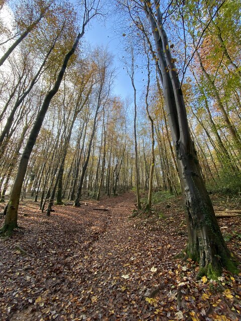
Surrounded by rolling hills and lush greenery, the village offers breathtaking views of the Welsh countryside. The area is renowned for its coal mining history, with several old collieries and remnants of the industry still visible today. This heritage is celebrated through various local events and exhibitions.
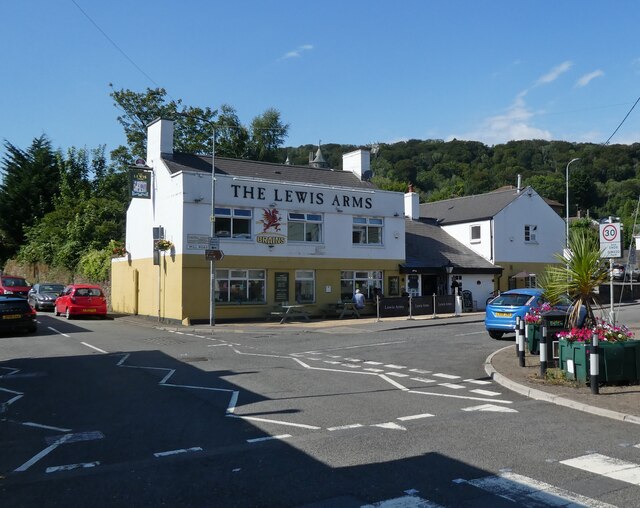
Ty Rhiw boasts a close-knit community, with a population of approximately 1,000 residents. The village is home to a range of amenities, including a primary school, a community center, and a local pub. The community center hosts a variety of activities and events, fostering a sense of togetherness among the villagers.
Outdoor enthusiasts are drawn to Ty Rhiw due to its proximity to the Rhondda Heritage Park and the Taff Trail, which offer opportunities for hiking, cycling, and exploring the stunning natural surroundings. The village is also conveniently located near larger towns and cities such as Cardiff, which is easily accessible by road and public transportation.
In summary, Ty Rhiw is a charming village in Glamorgan, Wales, known for its natural beauty, coal mining heritage, and vibrant community spirit. Whether visitors are seeking outdoor adventures or a glimpse into the region's industrial past, Ty Rhiw offers a warm welcome and a wealth of attractions to explore.
If you have any feedback on the listing, please let us know in the comments section below.
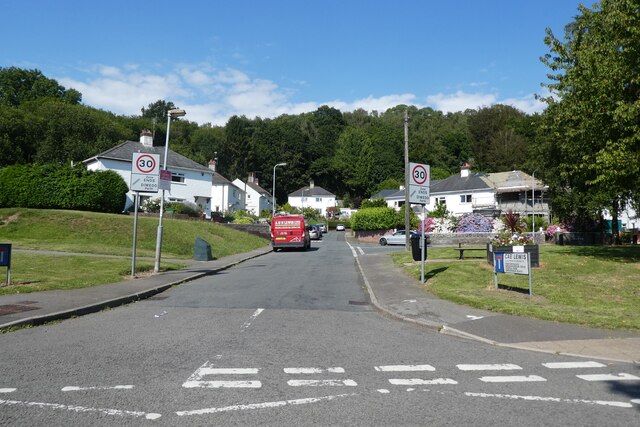
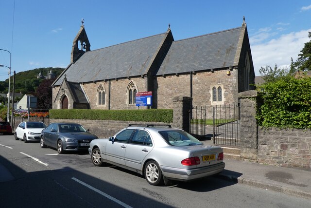
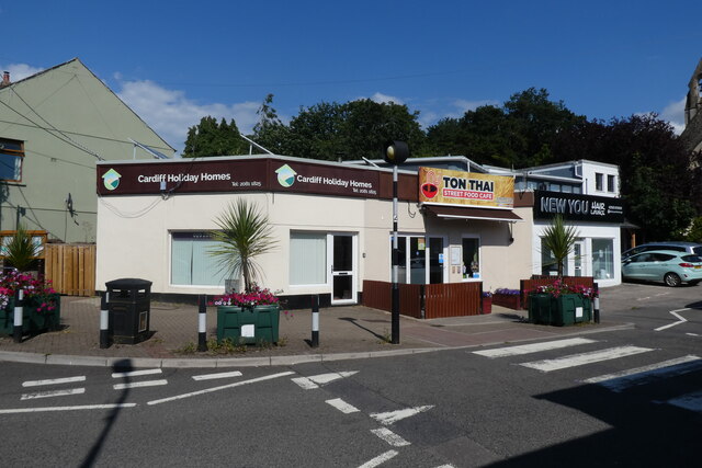
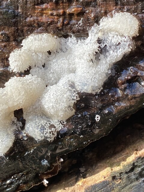
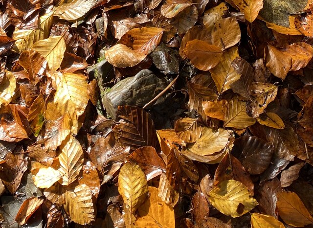
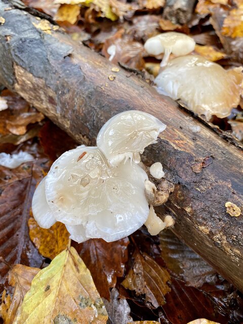
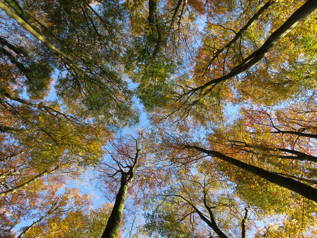
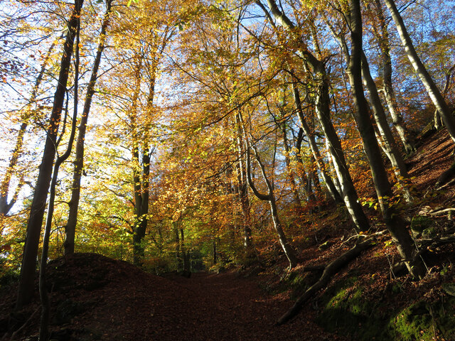
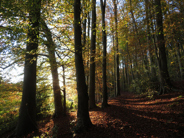
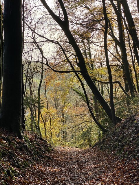
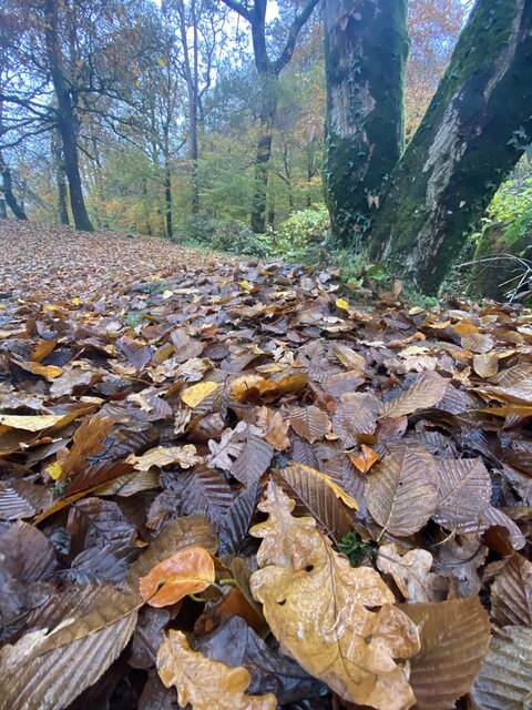
Ty Rhiw Images
Images are sourced within 2km of 51.54542/-3.25995 or Grid Reference ST1283. Thanks to Geograph Open Source API. All images are credited.

Ty Rhiw is located at Grid Ref: ST1283 (Lat: 51.54542, Lng: -3.25995)
Unitary Authority: Rhondda Cynon Taf
Police Authority: South Wales
What 3 Words
///pirate.ruby.woven. Near Pentyrch, Cardiff
Nearby Locations
Related Wikis
Taff's Well A.F.C.
Taff's Well Association Football Club is a Welsh association football Club founded in 1946. The team are based in Taff's Well, in Cardiff, and compete...
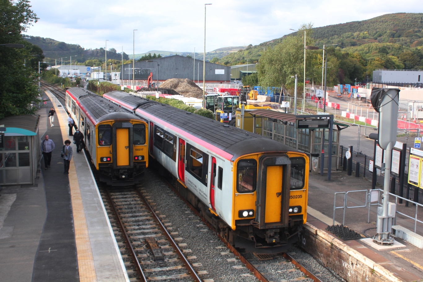
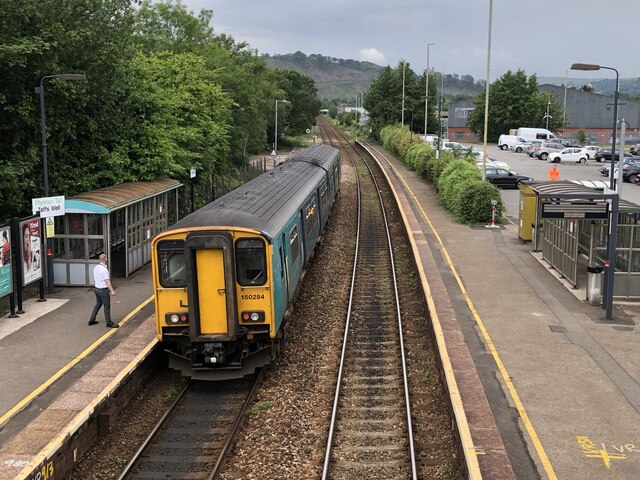
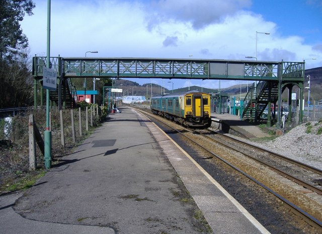
Taffs Well railway station
Taffs Well railway station is a railway station serving the village of Taff's Well, Rhondda Cynon Taf, Wales, as well as neighbouring Gwaelod-y-Garth,...
Taff's Well
Taff's Well (Welsh: Ffynnon Taf) is a semi-rural village, community and electoral ward located at the south easterly tip of Rhondda Cynon Taf, 6 miles...

Taff's Well Thermal Spring
Taff's Well thermal spring is located in Taff's Well (Welsh: Ffynnon Taf) north of Cardiff, South Wales, UK (National Grid Reference ST 11925 83639) and...

Glan y Llyn railway station
Glan-y-Llyn railway station is a disused railway station in Rhondda Cynon Taf, South Wales. == History == The station was opened in 1911 by the Cardiff...
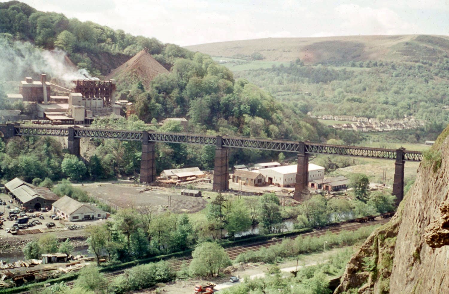
Walnut Tree Viaduct
Walnut Tree Viaduct was a railway viaduct located above the southern edge of the village of Taffs Well, South Wales. Originally built to carry the Barry...

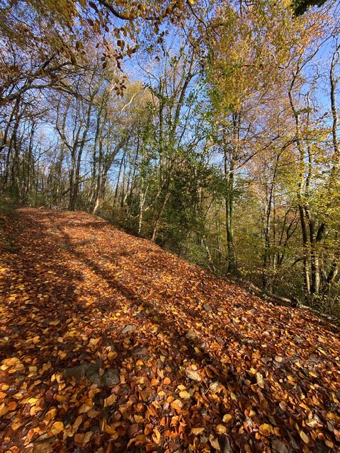
Castell Coch Woodlands and Road Section
Castell Coch Woodlands and Road Section is a Site of Special Scientific Interest to the north of Cardiff, Wales, significant for both its biological and...
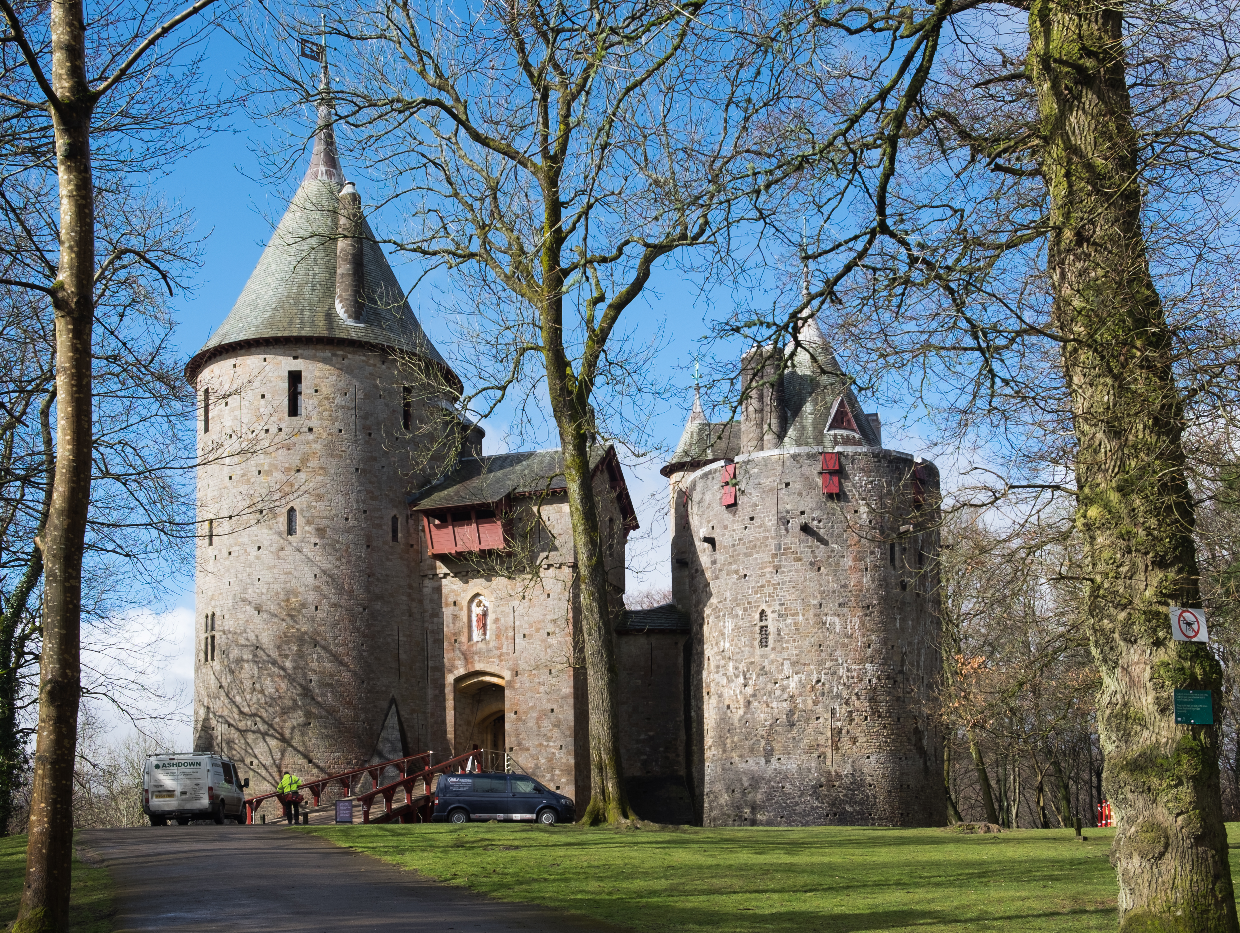
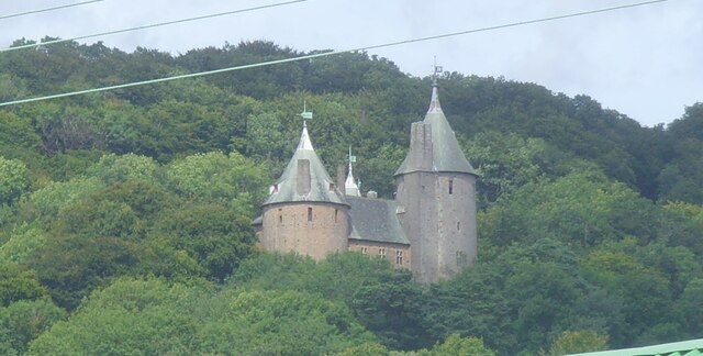
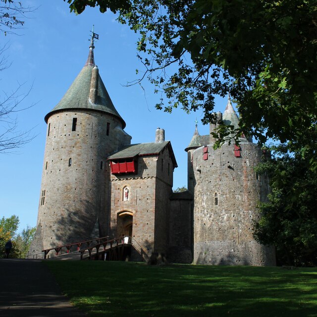
Castell Coch
Castell Coch (Welsh for 'Red Castle'; Welsh pronunciation: [ˈkas.tɛɬ koːχ]) is a 19th-century Gothic Revival castle built above the village of Tongwynlais...
Nearby Amenities
Located within 500m of 51.54542,-3.25995Have you been to Ty Rhiw?
Leave your review of Ty Rhiw below (or comments, questions and feedback).