Two Gates
Settlement in Warwickshire Tamworth
England
Two Gates

Two Gates is a small village located in the county of Warwickshire, England. Situated approximately three miles southeast of Tamworth, it falls within the administrative district of North Warwickshire. The village is nestled in a rural setting, surrounded by picturesque countryside and farmland.
Historically, Two Gates was known for its connection to mining and the coal industry. In the late 19th and early 20th centuries, the area experienced significant growth due to the establishment of several collieries nearby. However, with the decline of the coal industry in the mid-20th century, Two Gates experienced a shift in its economic focus.
Today, the village boasts a mix of residential and commercial properties. It is primarily a commuter village, with many residents traveling to nearby towns and cities for work. The local amenities in Two Gates include a post office, convenience stores, a primary school, and a community center. The village also offers recreational facilities such as parks and green spaces for residents to enjoy.
In terms of transport links, Two Gates benefits from its proximity to major road networks, including the A5 and M42 motorway, providing convenient access to surrounding areas. Public transportation is also available, with regular bus services connecting the village to nearby towns.
Overall, Two Gates offers a peaceful and rural lifestyle, with a close-knit community and easy access to both urban centers and the natural beauty of Warwickshire's countryside.
If you have any feedback on the listing, please let us know in the comments section below.
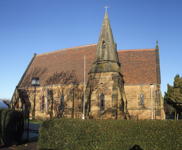
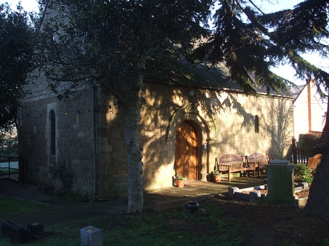
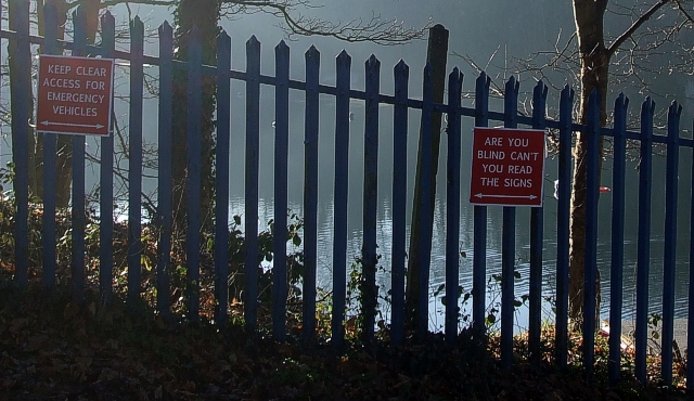
Two Gates Images
Images are sourced within 2km of 52.611725/-1.682739 or Grid Reference SK2101. Thanks to Geograph Open Source API. All images are credited.


Two Gates is located at Grid Ref: SK2101 (Lat: 52.611725, Lng: -1.682739)
Administrative County: Staffordshire
District: Tamworth
Police Authority: Staffordshire
What 3 Words
///best.chin.stone. Near Fazeley, Staffordshire
Nearby Locations
Related Wikis
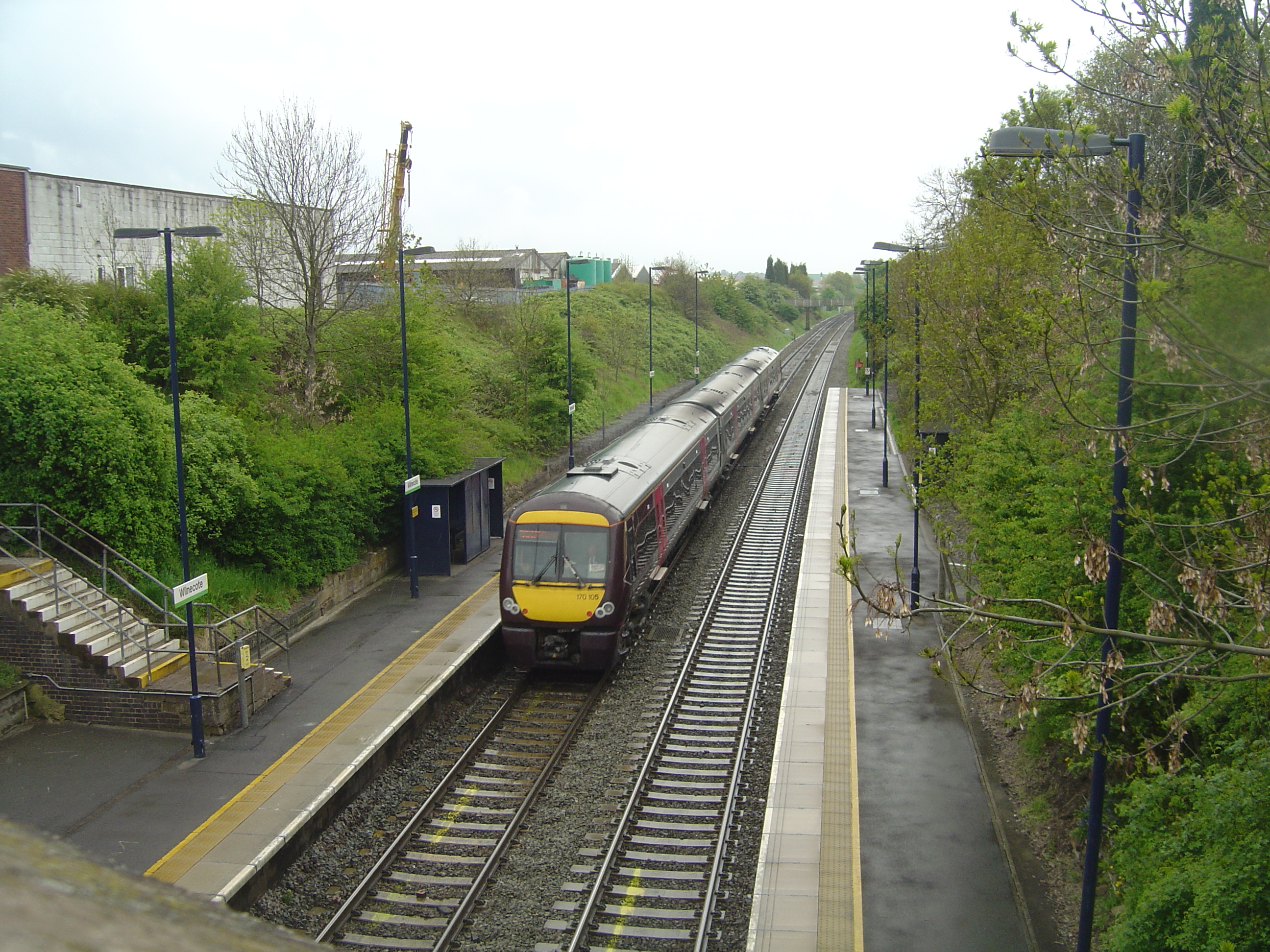
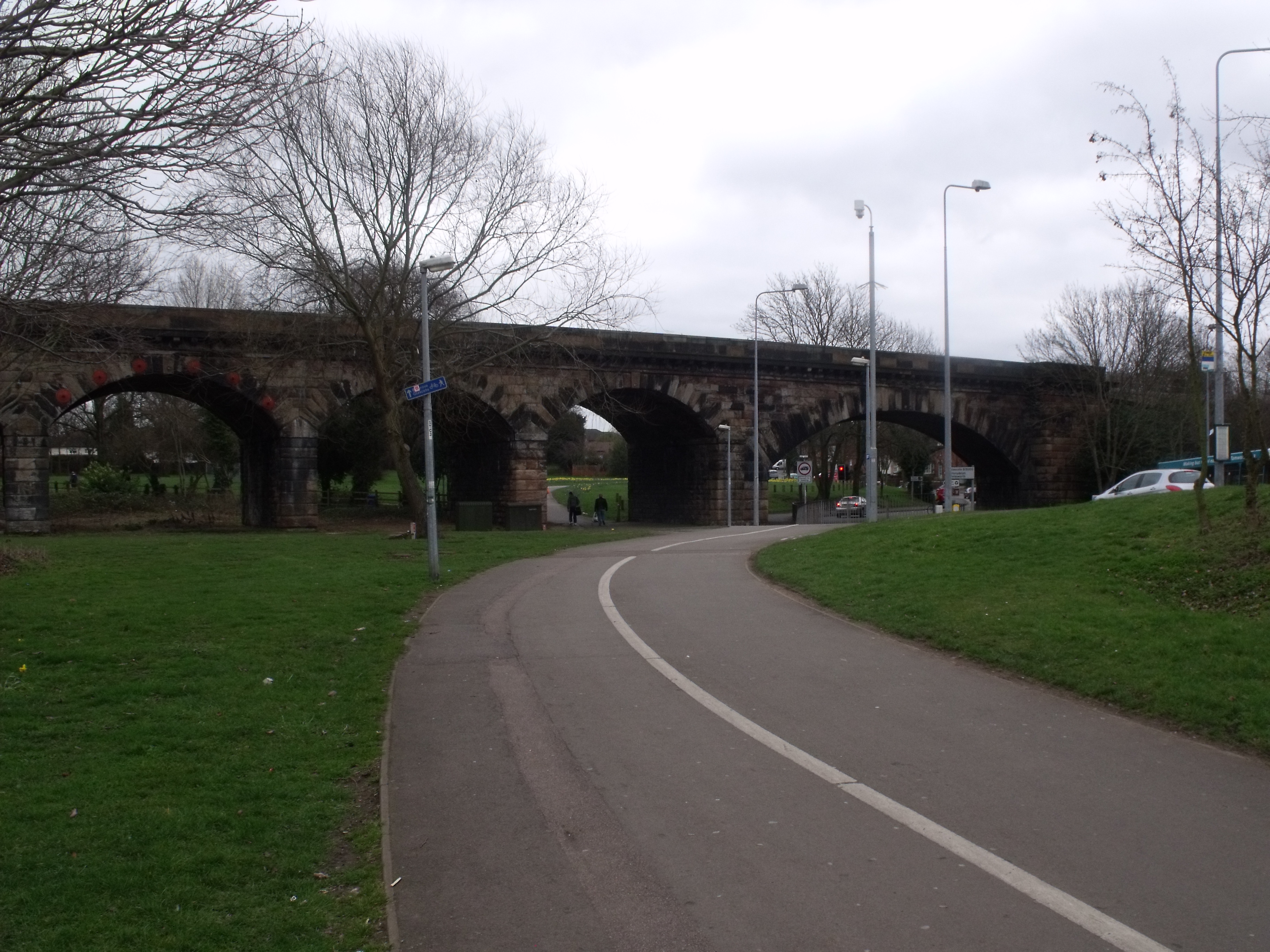
Wilnecote railway station
Wilnecote railway station is a small unmanned station serving Wilnecote 1.5 miles (2 km) south of Tamworth town centre in Staffordshire, England. The station...
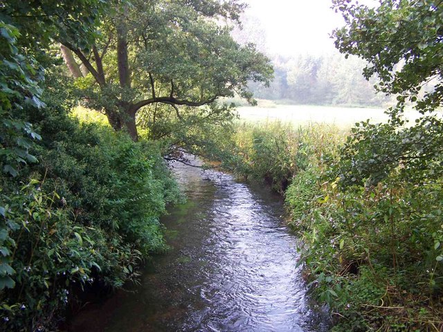
Bourne Brook
The Bourne Brook or Black Brook, as it is known in its upper reaches, is a tributary of the River Tame in Staffordshire, England. == Course == From its...

Belgrave, Tamworth
Belgrave is an area of Tamworth, Staffordshire, roughly 1+1⁄2 miles (2.4 km) from the town centre. The main feature of Belgrave is Marlborough way which...
Coton Green F.C.
Coton Green Football Club is a football club based in Tamworth, Staffordshire, England. They are currently members of the Midland League Division One and...
Tamworth Enterprise College
Tamworth Enterprise College (formerly Belgrave High School) is a coeducational secondary school with academy status in Tamworth, Staffordshire, England...
Bolehall
Bolehall is a village in Staffordshire, England, part of the Tamworth Conurbation. The village sits on the south bank of the River Anker. The parish of...
Wilnecote
Wilnecote (pronounced Wilncutt) is a suburban area about two miles (3.2 km) south-east of Tamworth, in the Tamworth district, in the county of Staffordshire...
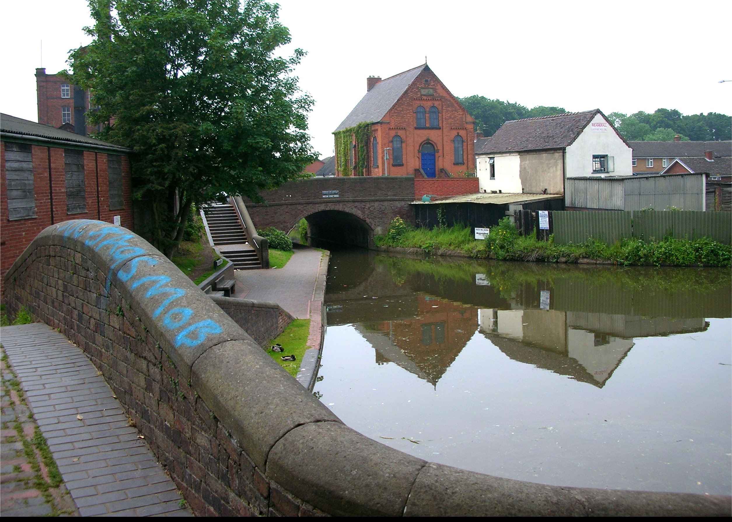
Fazeley Junction
Fazeley Junction (grid reference SK202020) is the name of the canal junction where the authorised Birmingham and Fazeley Canal terminates and meets the...
Nearby Amenities
Located within 500m of 52.611725,-1.682739Have you been to Two Gates?
Leave your review of Two Gates below (or comments, questions and feedback).