Tutshill
Settlement in Gloucestershire Forest of Dean
England
Tutshill
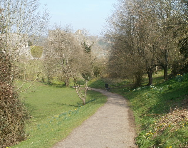
Tutshill is a small village situated in the Forest of Dean district of Gloucestershire, England. With a population of just over 1,000 residents, it is a close-knit community that offers a peaceful and picturesque setting for its inhabitants.
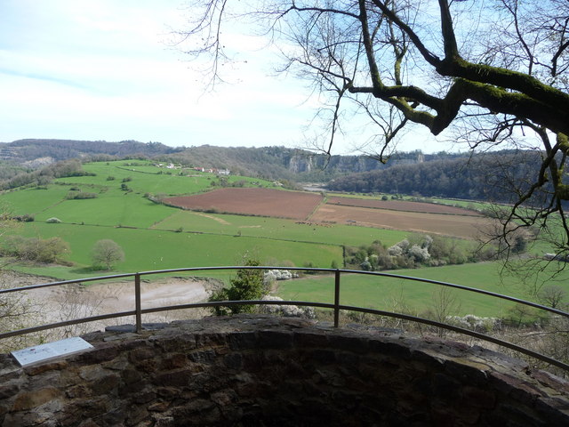
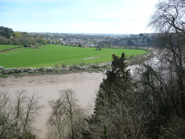
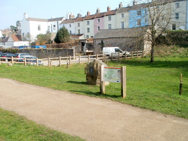
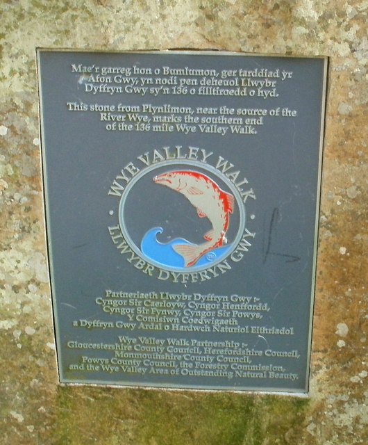
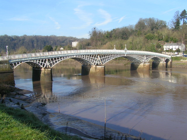
The village is located on the western bank of the River Wye, which forms the border between England and Wales. This prime location grants Tutshill beautiful views of the surrounding countryside and easy access to outdoor activities such as hiking, fishing, and boating.
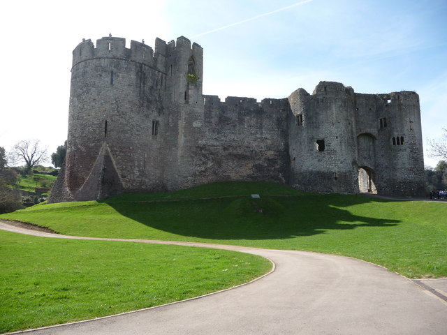
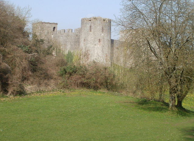
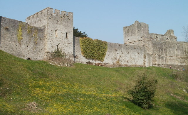
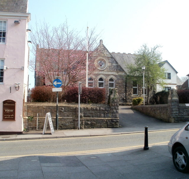
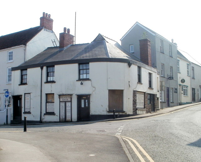
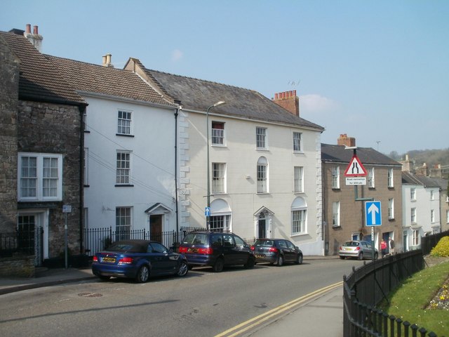
Tutshill's history dates back to the medieval period, and remnants of its past can still be seen today. The village is home to St. Luke's Church, a Grade II listed building that boasts impressive architecture and serves as a place of worship for the community. There are also several charming old cottages and houses that add to the village's character.
In terms of amenities, Tutshill has a range of facilities to cater to its residents' needs. These include a primary school, a community hall, a post office, and a convenience store for daily essentials. For more extensive shopping and entertainment options, the larger town of Chepstow is just a short distance away.
Overall, Tutshill offers a tranquil and idyllic setting for those seeking a quiet village lifestyle. With its rich history, natural beauty, and close proximity to larger towns, it is a desirable place to call home in the heart of Gloucestershire.
If you have any feedback on the listing, please let us know in the comments section below.
Tutshill Images
Images are sourced within 2km of 51.648872/-2.667193 or Grid Reference ST5394. Thanks to Geograph Open Source API. All images are credited.
Tutshill is located at Grid Ref: ST5394 (Lat: 51.648872, Lng: -2.667193)
Administrative County: Gloucestershire
District: Forest of Dean
Police Authority: Gloucestershire
What 3 Words
///brings.lace.scripted. Near Chepstow, Monmouthshire
Nearby Locations
Related Wikis
Tutshill
Tutshill is a village within the parish of Tidenham in the Forest of Dean, Gloucestershire, England. It is located on the eastern bank of the River Wye...

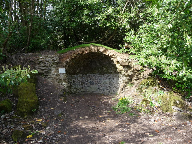
Gloucester Hole
The Gloucester Hole is a roughly square opening in the limestone cliffs of the River Wye, directly opposite the town of Chepstow. The hole itself is on...
Old Wye Bridge, Chepstow
The Old Wye Bridge or Town Bridge at Chepstow, also known historically as Chepstow Bridge, crosses the River Wye between Monmouthshire in Wales and Gloucestershire...

Chepstow East railway station
Chepstow East railway station was a temporary station on the South Wales Railway (now the Gloucester to Newport Line). It was on the opposite bank of the...
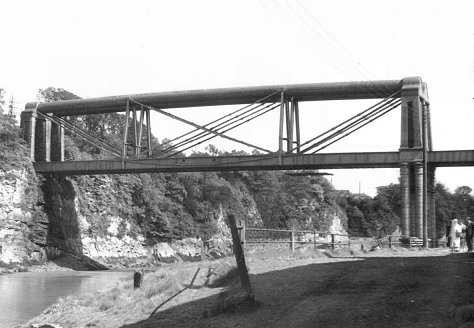
Chepstow Railway Bridge
Chepstow Railway Bridge was built to the instructions of Isambard Kingdom Brunel in 1852. The "Great Tubular Bridge" over the River Wye at Chepstow, which...
Tutshill for Beachley Halt railway station
Tutshill for Beachley Halt was a request stop on the South Wales Railway (now known as the Gloucester to Newport Line) and Wye Valley Railway. It was opened...
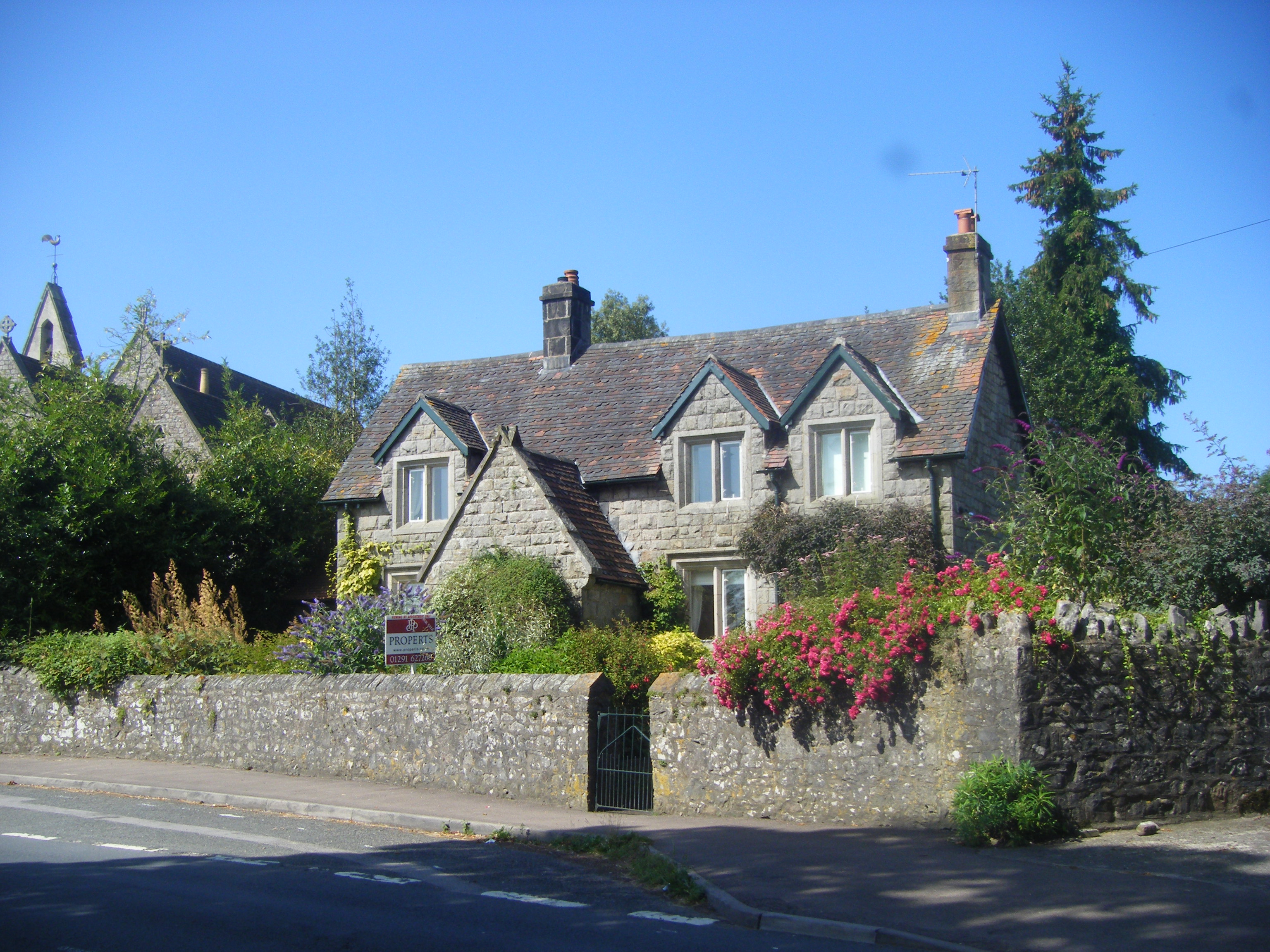
Church Cottage, Tutshill
Church Cottage in the village of Tutshill, Gloucestershire, England, is a Grade II listed building, thought to have been designed by the architect Henry...

Castle Terrace, Chepstow
Castle Terrace, originally known as Castle Parade, is an unbroken row of fourteen three-storied Georgian dwellings in Chepstow, Monmouthshire, Wales....
Nearby Amenities
Located within 500m of 51.648872,-2.667193Have you been to Tutshill?
Leave your review of Tutshill below (or comments, questions and feedback).