Turner's Green

Settlement in Warwickshire Warwick

England

Turner's Green

Grand Union Canal near Turner's Green
Grand Union Canal near Turner's Green Credit: Mark Percy

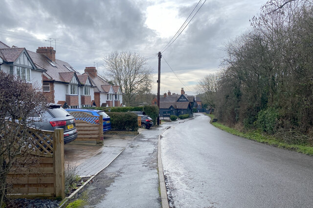
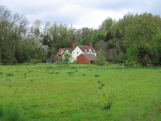
Turner's Green is a small village located in the county of Warwickshire, England. Situated approximately 7 miles south of the historic town of Warwick, it is a quintessential rural settlement nestled amidst the rolling countryside of the Midlands.

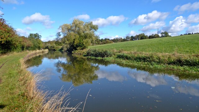
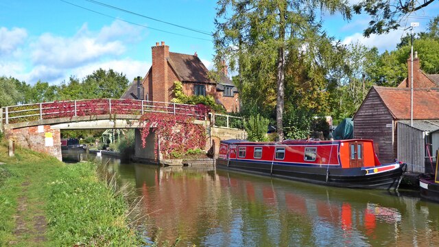
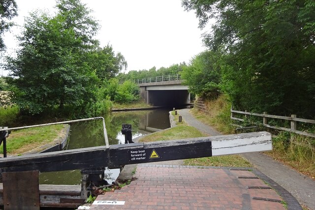
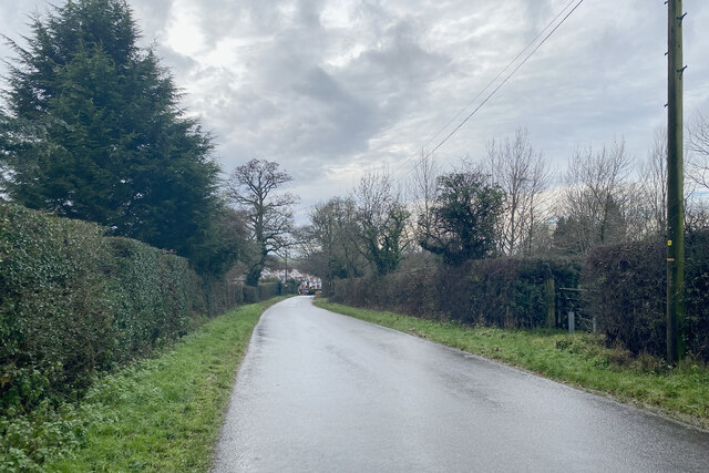
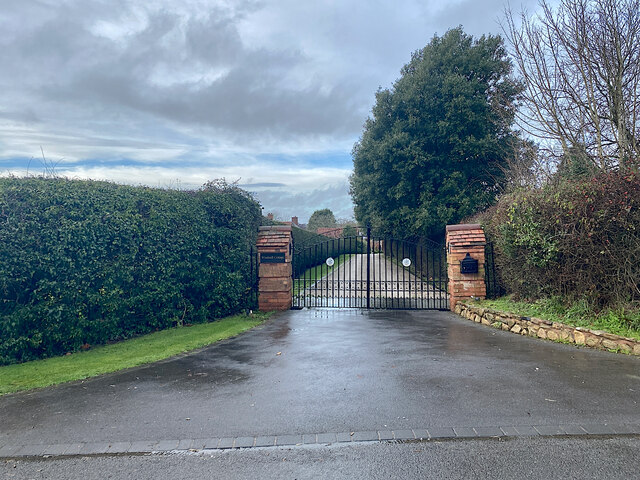
The village is characterized by its picturesque landscapes, with lush green fields, meandering streams, and charming cottages dotting the area. It exudes a tranquil and idyllic atmosphere, offering a peaceful retreat from the hustle and bustle of city life. The surrounding countryside is a haven for nature lovers and outdoor enthusiasts, with plenty of opportunities for walking, cycling, and exploring the scenic beauty of the region.

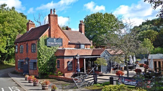
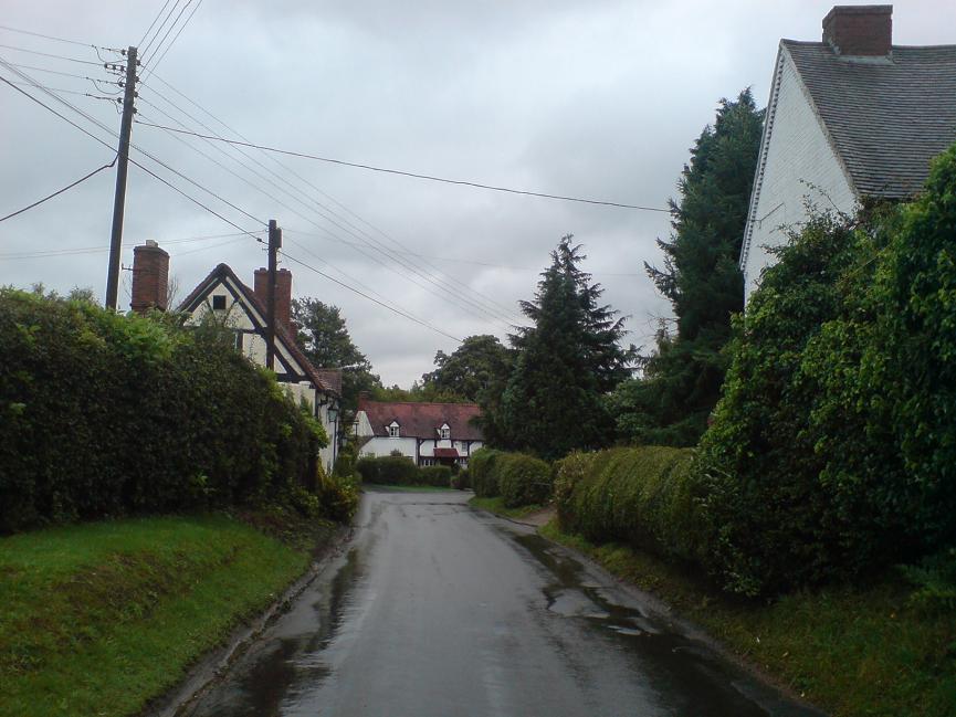
Turner's Green boasts a close-knit community, with a population of around 300 residents. It has a small number of amenities, including a local pub, a village hall, and a primary school. The pub serves as a social hub, offering a warm and friendly atmosphere where locals can gather and enjoy a drink or a meal together.

The village is well-connected to nearby towns and cities, with good transport links. The M40 motorway is within easy reach, providing convenient access to Birmingham, Oxford, and London. The nearby town of Warwick offers a wider range of amenities, including shops, restaurants, and cultural attractions such as Warwick Castle.

Overall, Turner's Green is a charming and peaceful village that embodies the essence of rural Warwickshire. Its natural beauty, sense of community, and convenient location make it an attractive place to live for those seeking a slower pace of life in a picturesque setting.

If you have any feedback on the listing, please let us know in the comments section below.

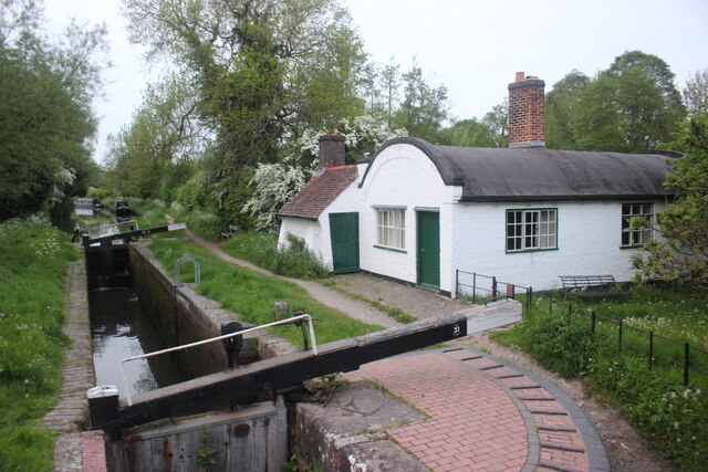
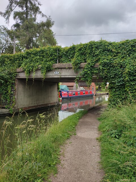
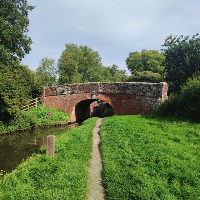
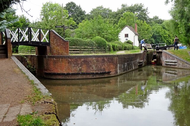
Turner's Green Images

Images are sourced within 2km of 52.318778/-1.7226821 or Grid Reference SP1969. Thanks to Geograph Open Source API. All images are credited.

Grand Union Canal near Turner's Green
Tom O'The Wood country pub and restaurant
Grand Union Canal at Turner's Green
Kingswood-Stratford Canal M40 Motorway Bridge.
Kingswood-Stratford Canal
M40 Motorway Bridge.
Approaching Turner's Green Finwood Road drops down into the canalside hamlet.
Approaching Turner's Green
Finwood Road drops down into the canalside hamlet.
Southwest on Finwod Road Finwood Road turns south from the Old Warwick Road for Turner's Green, ahead, and Lowsonford.
Southwest on Finwod Road
Finwood Road turns south from the Old Warwick Road for Turner's Green, ahead, and Lowsonford.
Gates to Windmill Cottage, Turner's Green An entrance on Finwood Road. Old maps show Windmill House here and a circular feature where a windmill  might have been. This is the same relatively high ground as the Rowington Mill site <a href="https://www.geograph.org.uk/photo/7378320">SP2070 : Rowington Mill, Rowington Green</a>.
Gates to Windmill Cottage, Turner's Green
An entrance on Finwood Road. Old maps show Windmill House here and a circular feature where a windmill might have been. This is the same relatively high ground as the Rowington Mill site SP2070 : Rowington Mill, Rowington Green.
Lock Keeper's Cottage, Lock 31, Stratford Upon Avon Canal. This is a relatively unaltered barrel roofed lock keeprs cottage located next to the bridge in Lowsonford where the road to Shrewley crosses the canal.
Lock Keeper's Cottage, Lock 31, Stratford Upon Avon Canal.
This is a relatively unaltered barrel roofed lock keeprs cottage located next to the bridge in Lowsonford where the road to Shrewley crosses the canal.
Lock Keeper's Cottage Lock 31 Stratford Upon Avon Canal Barrel roofed cottage located adjacent to the canal lock. Photo taken from the bridge where Narrow Lane crosses the canal.
Lock Keeper's Cottage Lock 31 Stratford Upon Avon Canal
Barrel roofed cottage located adjacent to the canal lock. Photo taken from the bridge where Narrow Lane crosses the canal.
Turner's Green Bridge
Lowsonford Bridge
Lowsonford Bridge
Kingswood Junction Boat in the Lock is leaving the Stratford Canal and heading towards The Grand Union Canal.
Kingswood Junction
Boat in the Lock is leaving the Stratford Canal and heading towards The Grand Union Canal.
Canal signpost at Kingswood Basin
The Grand Union Canal at Kingswood Brook
Canal footbridge at Kingswood Brook
The B4439 passing the Navigation Inn
The B4439 at the Navigation Inn
Rowington Mill, Rowington Green A former windmill has been converted and extended as a private house. There are references to windmills in housenames in nearby Turner's Green. The area is a relatively high spot on the Arden plateau. The view is from the Heart of England Way.
Rowington Mill, Rowington Green
A former windmill has been converted and extended as a private house. There are references to windmills in housenames in nearby Turner's Green. The area is a relatively high spot on the Arden plateau. The view is from the Heart of England Way.
Show me another place!

Turner's Green is located at Grid Ref: SP1969 (Lat: 52.318778, Lng: -1.7226821)

Administrative County: Warwickshire

District: Warwick

Police Authority: Warwickshire

What 3 Words

///sands.companies.handle. Near Wroxall, Warwickshire

Nearby Locations

Turner's Green

Related Wikis

Bushwood

Bushwood is a hamlet in Warwickshire, located three miles north of Henley in Arden and a mile west of the M40 motorway. There is no village centre as such...

Lowsonford

Lowsonford is a small village within the parish of Rowington in Warwickshire, England. The village lies 4 miles (6.4 km) north-east of Henley-in-Arden...

Rowington

Rowington is a village and civil parish in the English county of Warwickshire. It is five miles north-west of the town of Warwick and five miles south...
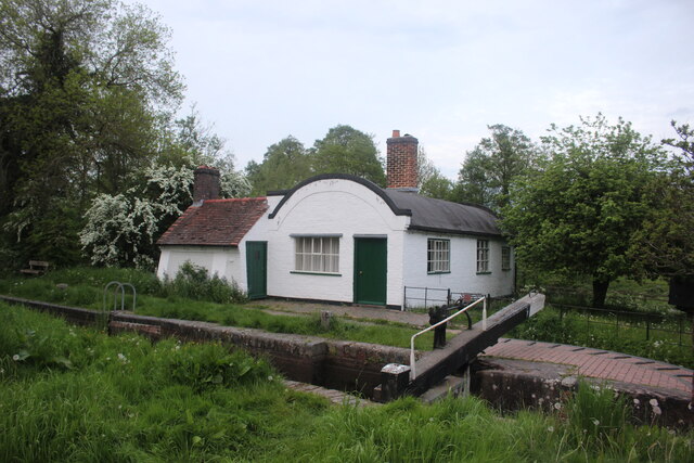
Kingswood Junction

Kingswood Junction (grid reference SP185709) is a canal junction where the Stratford-upon-Avon Canal meets the Grand Union Canal at Kingswood, Warwickshire...

Nearby Amenities

Located within 500m of 52.318778,-1.7226821
Seamark Type: gate
Waterway: lock_gate
Lat/Long: 52.3165242/-1.7268482
Seamark Type: gate
Waterway: lock_gate
Lat/Long: 52.3199291/-1.7262789
Rowington Junction
Historic Railway: junction
Railway: site
Lat/Long: 52.3191377/-1.7187394
Seamark Type: gate
Waterway: lock_gate
Lat/Long: 52.3163316/-1.7266933
Seamark Type: gate
Waterway: lock_gate
Lat/Long: 52.3201159/-1.7260488
Material: wood
Power: pole
Ref: 931694
Source: wpd_opendata
Transformer: distribution
Lat/Long: 52.3171497/-1.7193872
Power: pole
Source: bing
Lat/Long: 52.3155593/-1.7189996
Power: pole
Source: bing
Lat/Long: 52.3156577/-1.7203648
Power: pole
Ref: 931695
Source: wpd_opendata
Transformer: distribution
Lat/Long: 52.3155888/-1.7208289
Power: pole
Source: bing
Lat/Long: 52.3154511/-1.721592
Power: pole
Source: bing
Lat/Long: 52.3149329/-1.7224436
Power: pole
Source: bing
Lat/Long: 52.3144615/-1.7232214
The data included in this document is from www.openstreetmap.org. The data is made available under ODbL.

Have you been to Turner's Green?

Leave your review of Turner's Green below (or comments, questions and feedback).