Turkey Tump

Settlement in Herefordshire

England

Turkey Tump

B4348 at Poolspringe Near the eastern end of the B4348 which runs from Hay on Wye.
B4348 at Poolspringe Credit: Stephen McKay

Turkey Tump is a small village located in the county of Herefordshire, England. Situated in the picturesque countryside, it is surrounded by rolling hills and lush green fields, offering residents and visitors a peaceful and idyllic setting.

The village is characterized by its charming traditional architecture, with many of the buildings showcasing timber frames and thatched roofs. The streets are lined with quaint cottages, giving Turkey Tump a charming and rustic atmosphere.

Although small in size, Turkey Tump has a close-knit community that takes pride in preserving its rural heritage. The village is home to a local pub, which serves as a social hub for residents and visitors alike, offering a warm and friendly welcome.

The surrounding countryside provides ample opportunities for outdoor activities such as hiking, cycling, and horseback riding. The nearby woodlands are perfect for nature enthusiasts, offering a variety of flora and fauna to explore.

Despite its rural location, Turkey Tump benefits from good transport links, with a regular bus service connecting it to the larger towns and cities in the region. This allows residents to enjoy the tranquility of village life while still having easy access to amenities and services.

In summary, Turkey Tump is a charming and picturesque village nestled in the beautiful Herefordshire countryside. With its traditional architecture, tight-knit community, and stunning natural surroundings, it offers a peaceful retreat for those seeking a slower pace of life.

If you have any feedback on the listing, please let us know in the comments section below.
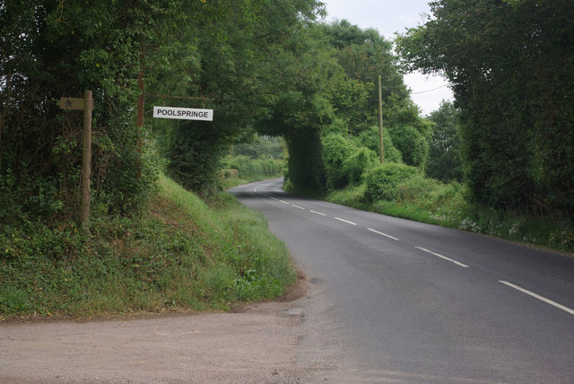
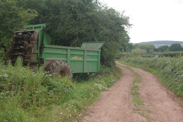
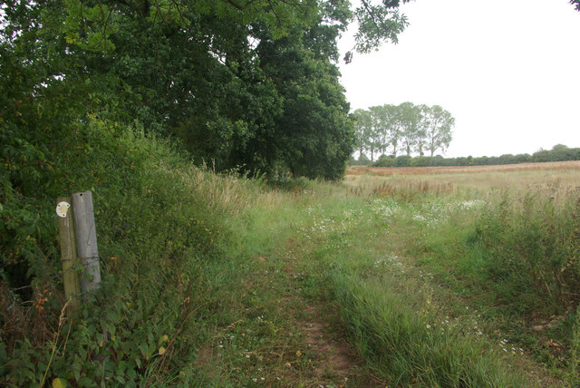
Turkey Tump Images

Images are sourced within 2km of 51.948235/-2.7288794 or Grid Reference SO5028. Thanks to Geograph Open Source API. All images are credited.

B4348 at Poolspringe Near the eastern end of the B4348 which runs from Hay on Wye.
B4348 at Poolspringe
Near the eastern end of the B4348 which runs from Hay on Wye.
Farm track to the B4348 The track is also a public footpath - the latter running across fields from Much Birch (and not always so easy to follow).
Farm track to the B4348
The track is also a public footpath - the latter running across fields from Much Birch (and not always so easy to follow).
Path to Much Birch Despite the occasional waymark this footpath across the fields is not well-defined or easy to follow.
Path to Much Birch
Despite the occasional waymark this footpath across the fields is not well-defined or easy to follow.
Cross Collar crossroads A minor road crosses the A49
Cross Collar crossroads
A minor road crosses the A49
Yew Lane The entrance on the right leads to a building marked on the map as a Poultry House, part of the farm on this lane
Yew Lane
The entrance on the right leads to a building marked on the map as a Poultry House, part of the farm on this lane
B4348 on Turkey Tump The road drops to cross a small stream close to the driveway on the left
B4348 on Turkey Tump
The road drops to cross a small stream close to the driveway on the left
B4348 at Poolsprings There are several polytunnels on the right of the road, on the south facing slope of the farm
B4348 at Poolsprings
There are several polytunnels on the right of the road, on the south facing slope of the farm
Christ Church, Llanwarne Erected in 1863-4 to replace the flood-prone St John the Baptist just down the road. An ambitious building for a parish that has always been sparsely populated, it would look more at home in a city street than in the Herefordshire countryside. Architect was G.C. Haddon.
Christ Church, Llanwarne
Erected in 1863-4 to replace the flood-prone St John the Baptist just down the road. An ambitious building for a parish that has always been sparsely populated, it would look more at home in a city street than in the Herefordshire countryside. Architect was G.C. Haddon.
Christ Church, Llanwarne Large and expensive Victorian building which could accommodate the population of this tiny village several times over. By G.C. Haddon in 1863-4.
Christ Church, Llanwarne
Large and expensive Victorian building which could accommodate the population of this tiny village several times over. By G.C. Haddon in 1863-4.
Christ Church, Llanwarne One of the outstanding apse windows in this large Victorian village church. By Percy Bacon Brothers, according to Pevsner, and dating from 1901.
Christ Church, Llanwarne
One of the outstanding apse windows in this large Victorian village church. By Percy Bacon Brothers, according to Pevsner, and dating from 1901.
St John the Baptist, Llanwarne Romantically ruined, having been abandoned in 1864 due to continual flooding by the waters of the adjoining Gamber Brook. Pretty as a picture and clearly loved and well cared for by its community.
St John the Baptist, Llanwarne
Romantically ruined, having been abandoned in 1864 due to continual flooding by the waters of the adjoining Gamber Brook. Pretty as a picture and clearly loved and well cared for by its community.
St John the Baptist, Llanwarne Romantically ruined, having been abandoned in 1864 due to persistent flooding by the waters of the adjoining Gamber Brook. Pretty as a picture and clearly loved and well cared for by its community. The South porch.
St John the Baptist, Llanwarne
Romantically ruined, having been abandoned in 1864 due to persistent flooding by the waters of the adjoining Gamber Brook. Pretty as a picture and clearly loved and well cared for by its community. The South porch.
St John the Baptist, the Lychgate The church is romantically ruined, having been abandoned in 1864 due to persistent flooding by the waters of the adjoining Gamber Brook. Pretty as a picture and clearly loved and well cared for by its community. The lychgate is medieval, but was extended early last century - 40 years after the abandonment.
St John the Baptist, the Lychgate
The church is romantically ruined, having been abandoned in 1864 due to persistent flooding by the waters of the adjoining Gamber Brook. Pretty as a picture and clearly loved and well cared for by its community. The lychgate is medieval, but was extended early last century - 40 years after the abandonment.
St John the Baptist, Llanwarne Romantically ruined, having been abandoned in 1864 due to persistent flooding by the waters of the adjoining Gamber Brook. Pretty as a picture and clearly loved and well cared for by its community.
St John the Baptist, Llanwarne
Romantically ruined, having been abandoned in 1864 due to persistent flooding by the waters of the adjoining Gamber Brook. Pretty as a picture and clearly loved and well cared for by its community.
The B4348 passing Poolspringe The B4348 passing Poolspringe near Llanwarne.
The B4348 passing Poolspringe
The B4348 passing Poolspringe near Llanwarne.
Drive to Elvastone Farm Drive to Elvastone Farm off the A49 at Llandinabo.
Drive to Elvastone Farm
Drive to Elvastone Farm off the A49 at Llandinabo.
Show me another place!

Turkey Tump is located at Grid Ref: SO5028 (Lat: 51.948235, Lng: -2.7288794)

Unitary Authority: County of Herefordshire

Police Authority: West Mercia

What 3 Words

///whirlwind.hush.share. Near Pencoyd, Herefordshire

Nearby Locations

Llanwarne Turkey Tump

Related Wikis

Llanwarne

Llanwarne is a village and civil parish in Herefordshire, England. The population of the civil Parish as taken at the 2011 census was 380. It is about...

Llandinabo

Llandinabo is a hamlet and civil parish in Herefordshire, England, and approximately six miles north-west of Ross-on-Wye. The population of the civil parish...

The Laskett Gardens

The Laskett Gardens, near Much Birch, Herefordshire, England, were created by Sir Roy Strong and Julia Trevelyan Oman. The couple purchased and moved to...

Pencoyd

Pencoyd is a hamlet and civil parish in Herefordshire, England. The parish, which also includes the hamlet of Netherton and part of the hamlet of Harewood...

Nearby Amenities

Located within 500m of 51.948235,-2.7288794
Bus Stop
Llanwarne Turn
Naptan AtcoCode: 2090A20375
Naptan Bearing: N
Naptan CommonName: Llanwarne Turn
Naptan Indicator: opp
Naptan Landmark: Llanwarne turn
Naptan NaptanCode: herapgmj
Naptan Street: A466
Naptan Verified: no
Source: naptan_import
Lat/Long: 51.9460919/-2.7347604
Bus Stop
Llanwarne Turn
Bus: yes
Naptan AtcoCode: 2090A20377
Naptan Bearing: S
Naptan BusStopType: CUS
Naptan CommonName: Llanwarne Turn
Naptan Indicator: adj
Naptan Landmark: Llanwarne turn
Naptan NaptanCode: herapgmp
Naptan Street: A466
Naptan Verified: no
Public Transport: platform
Source: naptan_import
Lat/Long: 51.9460126/-2.7344972
Bus Stop
Telephone Box
Naptan AtcoCode: 2090A20381
Naptan Bearing: S
Naptan BusStopType: CUS
Naptan CommonName: Telephone Box
Naptan Indicator: adj
Naptan Landmark: Telephone Box
Naptan NaptanCode: herapgmw
Naptan Street: A466
Naptan Verified: no
Source: naptan_import
Lat/Long: 51.9451259/-2.7339589
Post Box
Post Box Type: lamp
Ref: HR2 165
Royal Cypher: EIIR
Royal Cypher Wikidata: Q33102113
Lat/Long: 51.9451759/-2.7339864
Generator Method: photovoltaic
Generator Output Electricity: yes
Generator Source: solar
Generator Type: solar_photovoltaic_panel
Location: roof
Power: generator
Lat/Long: 51.9481518/-2.724773
The data included in this document is from www.openstreetmap.org. The data is made available under ODbL.

Have you been to Turkey Tump?

Leave your review of Turkey Tump below (or comments, questions and feedback).