Trunch

Settlement in Norfolk North Norfolk

England

Trunch

Knapton village sign Depicting an angel, because of those seen carved in the roof timbers of the church. 
In the Domesday Book of 1086 it is listed under the name ‘Kanapatone’. The tenant in chief was William de Warenne, who was a Norman aristocrat who fought at the Battle of Hastings and became one of the great landowners in England.
Knapton village sign Credit: Adrian S Pye

Trunch is a small village located in the county of Norfolk, England. Situated approximately 4 miles southeast of North Walsham and 18 miles northeast of Norwich, Trunch is nestled amidst the picturesque rural landscape of East Anglia. With a population of around 1,000 residents, the village offers a tranquil and close-knit community atmosphere.

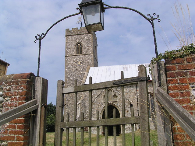
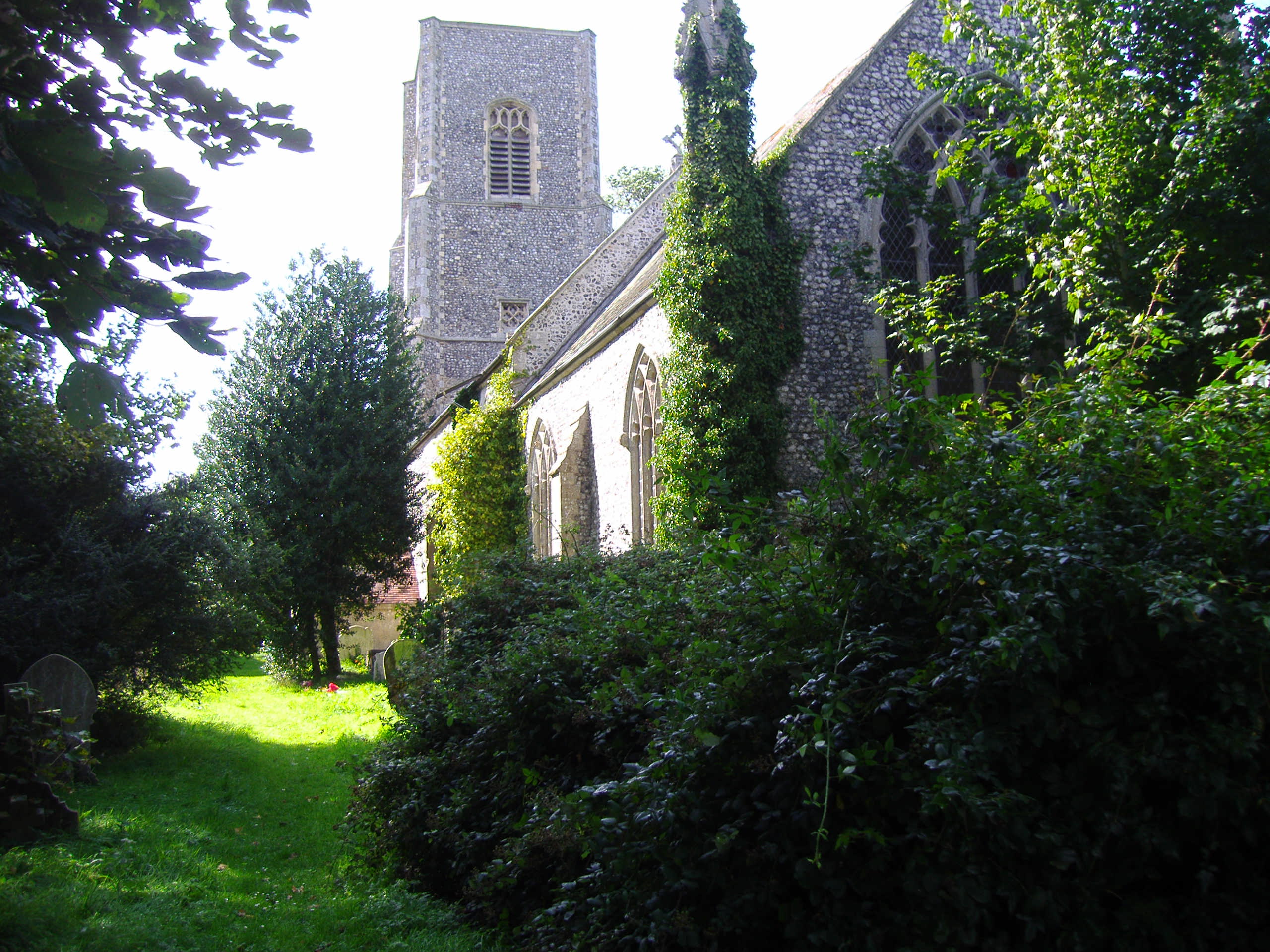
Trunch is known for its charming character, with many of its buildings dating back to the 17th and 18th centuries. The village boasts a beautiful parish church, St. Botolph's, which is renowned for its stunning stained glass windows and impressive architecture. In addition, there is a primary school, a village hall, and a local pub, The Crown Inn, providing essential amenities for residents and visitors.

Nature enthusiasts will appreciate the surrounding countryside, as Trunch is surrounded by fields and meadows, offering plenty of opportunities for scenic walks and exploration. The village is also in close proximity to the Norfolk coast, allowing residents to enjoy the stunning beaches and coastal landscapes.

Trunch hosts several community events throughout the year, including a summer fete and a Christmas market, which bring the community together and attract visitors from nearby areas. The village also benefits from a strong sense of community spirit, with various clubs and societies catering to different interests, such as gardening, sports, and arts.

Overall, Trunch is a charming and tranquil village that offers a peaceful escape from the bustle of city life, while providing essential amenities and a strong sense of community for its residents.

If you have any feedback on the listing, please let us know in the comments section below.
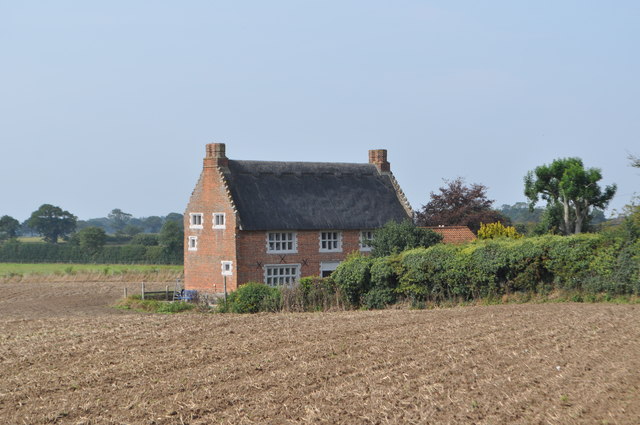
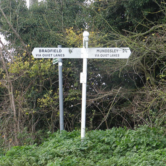
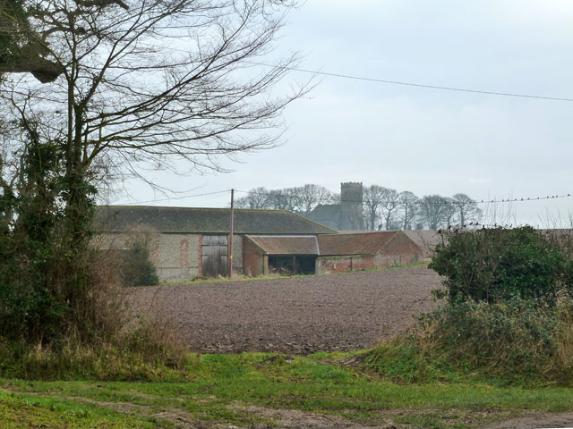
Trunch Images

Images are sourced within 2km of 52.862114/1.395408 or Grid Reference TG2834. Thanks to Geograph Open Source API. All images are credited.

Knapton village sign Depicting an angel, because of those seen carved in the roof timbers of the church. 
In the Domesday Book of 1086 it is listed under the name ‘Kanapatone’. The tenant in chief was William de Warenne, who was a Norman aristocrat who fought at the Battle of Hastings and became one of the great landowners in England.
Knapton village sign
Depicting an angel, because of those seen carved in the roof timbers of the church. In the Domesday Book of 1086 it is listed under the name ‘Kanapatone’. The tenant in chief was William de Warenne, who was a Norman aristocrat who fought at the Battle of Hastings and became one of the great landowners in England.
John of Gaunt's House See <a href="https://www.geograph.org.uk/photo/2582094">TG2735 : John of Gaunt's House</a>
John of Gaunt's House
The Crown Inn, Front Street, Trunch
St. Botolph's Church, Trunch
Front Street, Trunch The Crown Inn is on the left.
Front Street, Trunch
The Crown Inn is on the left.
All Saint's Church Gimingham
Quiet Lanes Only in Norfolk?

A sideways view of the signpost is here <a href="https://www.geograph.org.uk/photo/1073761">TG2834 : Three roads meet here</a>
Quiet Lanes
Only in Norfolk? A sideways view of the signpost is here TG2834 : Three roads meet here
Landers Mews, Trunch Flint? Check. Brick? Check. Pantiles? Check. How old is it? Who knows. The window styling suggests fairly modern but it might be a conversion of an older building.
Landers Mews, Trunch
Flint? Check. Brick? Check. Pantiles? Check. How old is it? Who knows. The window styling suggests fairly modern but it might be a conversion of an older building.
Ivied trees It is unusual to see exposed hedgerow trees so covered in ivy.
Ivied trees
It is unusual to see exposed hedgerow trees so covered in ivy.
Trunch Social Club The larger building to the left is the club.
Trunch Social Club
The larger building to the left is the club.
Trunch Corner Stores and Post Office Formerly the New Inn, later it seems to have been called The Corner House.
Trunch Corner Stores and Post Office
Formerly the New Inn, later it seems to have been called The Corner House.
Barn and a church The church is St. Nicholas, Swafield. The nearer building has the wonderful name of Crudshole Barn.
Barn and a church
The church is St. Nicholas, Swafield. The nearer building has the wonderful name of Crudshole Barn.
Prairie like landscape
Quiet lane to Trunch
North Norfolk landscape
Heading to Trunch
Heading to Trunch
Flat landscape
Flat landscape
Show me another place!

Trunch is located at Grid Ref: TG2834 (Lat: 52.862114, Lng: 1.395408)

Administrative County: Norfolk

District: North Norfolk

Police Authority: Norfolk

What 3 Words

///appealing.position.nails. Near Mundesley, Norfolk

Nearby Locations

Trunch Trunch

Related Wikis

Trunch

Trunch is a village and parish in Norfolk, England, situated three miles north of North Walsham and two miles from the coast at Mundesley. At the Census...

Gimingham

Gimingham is a village and civil parish in the English county of Norfolk. Gimingham has no shops, but has a Church, a pond and a preserved Water Mill....

Knapton

Knapton is a village and a civil parish in the English county of Norfolk. The village is 8.9 miles (14.3 km) southeast of Cromer, 19.4 miles (31.2 km)...

Bradfield, Norfolk

Bradfield is a village and former civil parish, now in the parish of Swafield, in the North Norfolk district, in the county of Norfolk, England. The village...

Nearby Amenities

Located within 500m of 52.862114,1.395408
Trunch
Place: village
Wikidata: Q631634
Wikipedia: en:Trunch
Lat/Long: 52.8621924/1.3954826
Bus Stop
Crown, adj
Bus: yes
Naptan AtcoCode: 2900T331
Naptan Bearing: NW
Naptan BusStopType: CUS
Naptan CommonName: Crown
Naptan Indicator: adj
Naptan Locality: Trunch
Naptan NaptanCode: nfogamjm
Naptan Street: Back Street
Naptan Verified: no
Public Transport: platform
Source: naptan_import
Lat/Long: 52.8625572/1.3971449
Community Hall, opp
Naptan AtcoCode: 2900T332
Naptan Bearing: SE
Naptan BusStopType: CUS
Naptan CommonName: Community Hall
Naptan Indicator: opp
Naptan Landmark: Village Hall
Naptan Locality: Trunch
Naptan NaptanCode: nfogmjtw
Naptan Street: North Walsham Road
Naptan Verified: no
Source: naptan_import
Lat/Long: 52.8636881/1.3959702
Bus Stop
Old Forge Close, opp
Naptan AtcoCode: 2900T333
Naptan Bearing: N
Naptan CommonName: Old Forge Close
Naptan Indicator: opp
Naptan Locality: Trunch
Naptan NaptanCode: nfogamjp
Naptan Street: North Walsham Road
Naptan Verified: no
Source: naptan_import
Lat/Long: 52.861174/1.394882
Bus Stop
Crown, opp
Bus: yes
Naptan AtcoCode: 2900T334
Naptan Bearing: E
Naptan BusStopType: CUS
Naptan CommonName: Crown
Naptan Indicator: opp
Naptan Locality: Trunch
Naptan NaptanCode: nfogamjt
Naptan Street: Mundesley Road
Naptan Verified: no
Public Transport: platform
Source: naptan_import
Lat/Long: 52.8625389/1.3974704
Old Forge Close, adj
Naptan AtcoCode: 2900T335
Naptan Bearing: S
Naptan BusStopType: CUS
Naptan CommonName: Old Forge Close
Naptan Indicator: adj
Naptan Locality: Trunch
Naptan NaptanCode: nfogamjw
Naptan Street: North Walsham Road
Naptan Verified: no
Source: naptan_import
Lat/Long: 52.8616667/1.3952623
Bus Stop
Community Hall, adj
Naptan AtcoCode: 2900T336
Naptan Bearing: N
Naptan CommonName: Community Hall
Naptan Indicator: adj
Naptan Landmark: Shelter
Naptan Locality: Trunch
Naptan NaptanCode: nfogmgmw
Naptan ShortCommonName: North Walsham Road
Naptan Street: North Walsham Road
Naptan Verified: no
Source: naptan_import
Lat/Long: 52.8638376/1.3957738
Give Way
Direction: backward
Lat/Long: 52.8621264/1.3952868
Give Way
Direction: backward
Lat/Long: 52.8624651/1.3973333
Crossing
Crossing: unmarked
Lat/Long: 52.8625665/1.395676
Give Way
Direction: forward
Lat/Long: 52.8621684/1.3954295
Post Box
Post Box Type: lamp
Royal Cypher: EIIR
Royal Cypher Wikidata: Q33102113
Lat/Long: 52.860198/1.39477
Pipeline: marker
Type: gas
Lat/Long: 52.8654218/1.3991025
Gorrell Hill Farm
Place: farm
Lat/Long: 52.8616291/1.3911832
Recycling
Lat/Long: 52.8611541/1.3993796
Bench
Backrest: yes
Check Date: 2021-07-27
Material: wood
Seats: 4
Lat/Long: 52.8625363/1.3977804
Trunch Town Pump
Historic: yes
Historic Man Made: water_well
Pump: manual
Ruins: yes
Lat/Long: 52.862589/1.3978429
Waste Basket
Check Date: 2021-07-27
Lat/Long: 52.8625378/1.3978187
Historic: memorial
Inscription: In memory of the Trunch men who fell in the Great War 1914-1918 / Faithfull Unto Death / Arthur F. Flaxman 1939-1945
Memorial: war_memorial
Note: Listed are names of 14 men of the first world war and 1 of the second world war.
Lat/Long: 52.862432/1.3962177
Bench
Backrest: yes
Material: wood
Seats: 3
Lat/Long: 52.8624913/1.3963437
Give Way
Direction: forward
Lat/Long: 52.8630939/1.3958983
Bench
Backrest: yes
Colour: brown
Material: wood
Seats: 3
Lat/Long: 52.8623598/1.395835
Bench
Backrest: yes
Colour: brown
Material: wood
Seats: 3
Lat/Long: 52.8623954/1.3958806
Entrance: yes
Lat/Long: 52.862635/1.396182
Entrance: yes
Lat/Long: 52.8625324/1.3964809
Entrance: main
Lat/Long: 52.8624747/1.3962107
Trunch
Traffic Sign: city_limit
Lat/Long: 52.8652276/1.3955051
Give Way
Lat/Long: 52.8656187/1.3952615
Entrance: main
Lat/Long: 52.862218/1.3951701
Grit Bin
Colour: yellow
Lat/Long: 52.862121/1.39543
Defibrillator
Emergency: defibrillator
Indoor: no
Lat/Long: 52.862224/1.3951676
Board Type: notice
Information: board
Tourism: information
Lat/Long: 52.8623404/1.3953877
Post Box
Front Street Post Office
Collection Times: Mo-Fr 16:45; Sa 09:00; Su off
Operator: Royal Mail
Post Box Type: lamp
Ref: NR28 2810
Royal Cypher: EIIR
Royal Cypher Wikidata: Q33102113
Lat/Long: 52.8621706/1.395197
Trunch
Inscription: 1977
Man Made: village_sign
Material: metal
Start Date: 1977
Lat/Long: 52.8622254/1.3953012
Addr Postcode: NR28 0SP
Building: yes
Lat/Long: 52.8594471/1.395926
Generator Source: solar
Location: roof
Power: generator
Lat/Long: 52.863869/1.3948895
Generator Source: solar
Location: roof
Power: generator
Lat/Long: 52.8634043/1.3948426
Give Way
Direction: backward
Lat/Long: 52.8601342/1.3946944
The data included in this document is from www.openstreetmap.org. The data is made available under ODbL.

Have you been to Trunch?

Leave your review of Trunch below (or comments, questions and feedback).