Trumaisgearraidh
Settlement in Inverness-shire
Scotland
Trumaisgearraidh

Trumaisgearraidh is a small village located in the county of Inverness-shire, Scotland. Situated in the western part of the county, it lies on the picturesque western coast of Scotland, overlooking the North Atlantic Ocean. The village is nestled between the larger towns of Gairloch and Ullapool, offering residents and visitors easy access to various amenities and services.
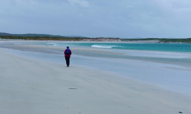
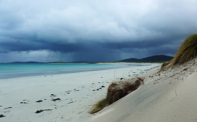
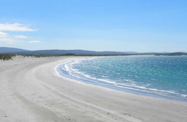
Trumaisgearraidh is known for its breathtaking natural beauty, with rugged mountains, vast moorlands, and stunning coastal landscapes. The village is surrounded by a diverse range of wildlife, including red deer, golden eagles, and otters, making it a popular destination for nature enthusiasts and wildlife photographers.
Despite its small size, Trumaisgearraidh has a tight-knit community that takes pride in its Gaelic heritage. The Gaelic language is still spoken by some residents, and traditional Highland games and ceilidhs are held throughout the year, showcasing the area's rich cultural heritage.
For outdoor enthusiasts, Trumaisgearraidh offers a plethora of activities. The village is a great starting point for hiking, with numerous trails leading to nearby peaks and lochs. The nearby coastline is also a popular spot for water sports such as kayaking and sailing.
In terms of amenities, Trumaisgearraidh has a few local shops and a pub that serves as a central meeting point for locals and visitors alike. For a wider range of services, residents can easily access Gairloch or Ullapool, both of which are within a short drive from the village.
Overall, Trumaisgearraidh is a charming and scenic village that offers a tranquil escape into the rugged beauty of the Scottish Highlands.
If you have any feedback on the listing, please let us know in the comments section below.
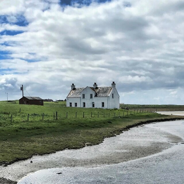
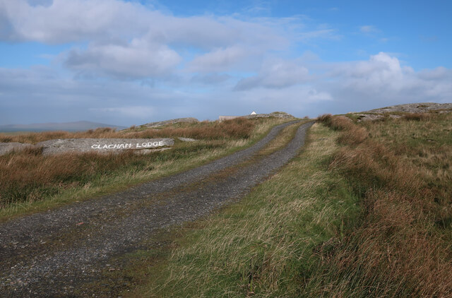
Trumaisgearraidh Images
Images are sourced within 2km of 57.6539/-7.2557538 or Grid Reference NF8674. Thanks to Geograph Open Source API. All images are credited.

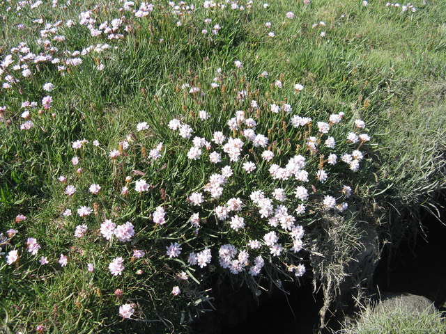
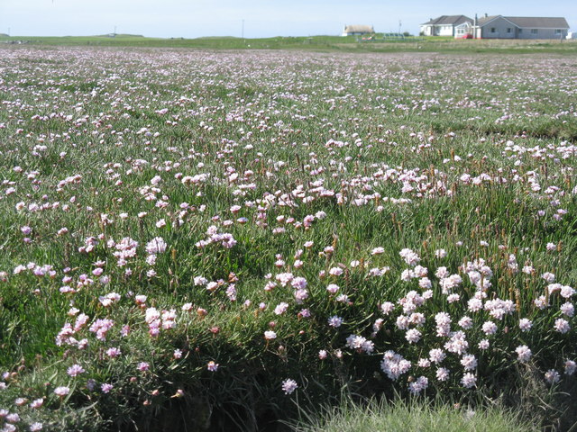
![Salt marsh at Trumaisgearraidh With a good flowering of Thrift [Armeria maritima].](https://s2.geograph.org.uk/geophotos/04/98/76/4987682_f3c46f91.jpg)


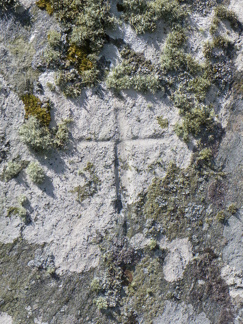
![Clach an t-Sagairt [with oystercatcher] The name translates as the 'Priest's Stone' and the incised cross [see detailed photo] may be early medieval.](https://s0.geograph.org.uk/geophotos/06/20/54/6205476_aeb4c05e.jpg)


Trumaisgearraidh is located at Grid Ref: NF8674 (Lat: 57.6539, Lng: -7.2557538)
Unitary Authority: Na h-Eileanan an Iar
Police Authority: Highlands and Islands
What 3 Words
///reassured.loaded.motored. Near Lochmaddy, Na h-Eileanan Siar
Related Wikis

Oronsay, Outer Hebrides
Oronsay (Gaelic Orasaigh) is a tidal island off North Uist in the Outer Hebrides. Lying to the north of Vallaquie Strand, the island has been uninhabited...

North Uist Machair and Islands
The North Uist Machair and Islands is a protected wetland area in the Outer Hebrides of Scotland. A total of 4,705 hectares comprises seven separate areas...

Lingeigh, North Uist
Lingeigh is an uninhabited island off North Uist, south east of Boreray. It is separated from North Uist by Traigh Lingeigh. == Footnotes ==

Na Fir Bhrèige
Na Fir Bhrèige (pronounced [nə fiɾʲ ˈvɾʲeːkʲə]; can be translated from Gaelic into English as "The False Men") is a set of three standing stones on the...
Nearby Amenities
Located within 500m of 57.6539,-7.2557538Have you been to Trumaisgearraidh?
Leave your review of Trumaisgearraidh below (or comments, questions and feedback).