Troswell

Settlement in Devon

England

Troswell

North Petherwin School North Petherwin School at Brazacott
North Petherwin School Credit: Shaun Ferguson

Troswell is a small village located in the county of Devon, England. Situated in the southwestern part of the country, Troswell is known for its picturesque landscapes and charming rural setting. The village is nestled amidst rolling hills and lush green fields, providing visitors with breathtaking views of the countryside.

Troswell has a rich history that dates back centuries. It is believed to have been inhabited since Roman times, and evidence of this can still be seen in the form of ancient ruins and artifacts scattered throughout the area. The village's name is derived from Old English, with "tros" meaning "cross" and "well" referring to the presence of a natural water source.

Despite its small size, Troswell offers a range of amenities and services to its residents and visitors. The village has a local pub, The Crossroads Inn, which is a popular spot for locals to gather and enjoy a pint. Additionally, there is a small convenience store that caters to the daily needs of the community.

Nature enthusiasts are drawn to Troswell due to its proximity to several natural attractions. The nearby Dartmoor National Park is a haven for hikers, offering miles of walking trails and stunning landscapes. The River Teign, which runs through the village, provides opportunities for fishing and boating.

Overall, Troswell is a peaceful and idyllic village that showcases the beauty of the Devon countryside. Its rich history, natural surroundings, and warm community make it a delightful place to visit or call home.

If you have any feedback on the listing, please let us know in the comments section below.
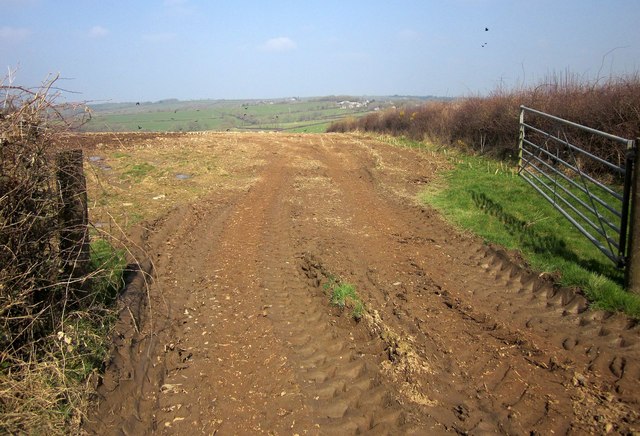
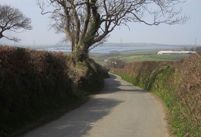
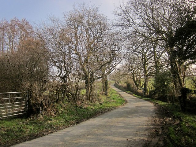
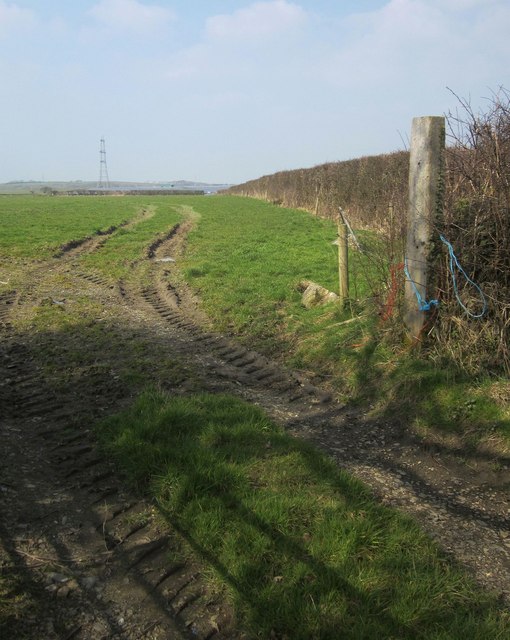
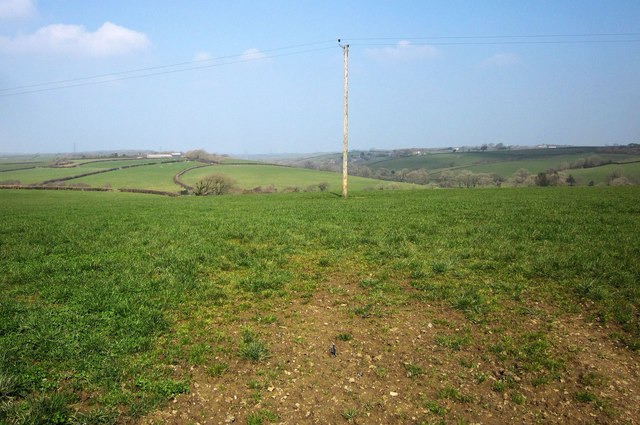
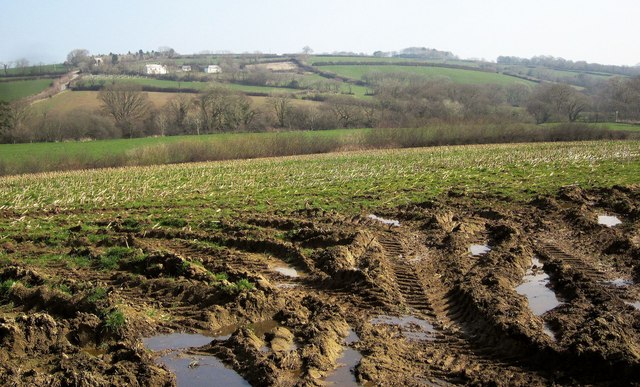
Troswell Images

Images are sourced within 2km of 50.692257/-4.4790472 or Grid Reference SX2591. Thanks to Geograph Open Source API. All images are credited.

North Petherwin School North Petherwin School at Brazacott
North Petherwin School
North Petherwin School at Brazacott
Lane through Brazacott Lane through Brazacott passing the converted chapel
Lane through Brazacott
Lane through Brazacott passing the converted chapel
Unsuitable for Motor Vehicles Unsuitable for motor vehicles at Higher Troswell Farmhouse
Unsuitable for Motor Vehicles
Unsuitable for motor vehicles at Higher Troswell Farmhouse
Muddy Farmtrack Muddy farmtrack behind Lower Troswell
Muddy Farmtrack
Muddy farmtrack behind Lower Troswell
Cattle Handling Area Cattle handling area on the farm track behind Lower Troswell
Cattle Handling Area
Cattle handling area on the farm track behind Lower Troswell
Towards the Caudworthy Water valley A muddy field entrance by the lane from Penrose Green to Trossell. The road climbing away on the left is heading for Billacott.
Towards the Caudworthy Water valley
A muddy field entrance by the lane from Penrose Green to Trossell. The road climbing away on the left is heading for Billacott.
Lane to Trossell By the entrance to Braywood Farm and the T junction with lanes to Billacott and Penrose Green.
Lane to Trossell
By the entrance to Braywood Farm and the T junction with lanes to Billacott and Penrose Green.
Field near Trillacott Seen from the lane from Winnacott.
Field near Trillacott
Seen from the lane from Winnacott.
Junction, Brazacott Solid stone buildings in this hamlet which, as the foreground sign on the road shows, possesses a fully functioning primary school. Tucked away out of sight behind the house on the right is a disused listed farmhouse <span class="nowrap"><a title="http://list.historicengland.org.uk/resultsingle.aspx?uid=1160475&searchtype=mapsearch" rel="nofollow ugc noopener" href="http://list.historicengland.org.uk/resultsingle.aspx?uid=1160475&searchtype=mapsearch">Link</a><img style="margin-left:2px;" alt="External link" title="External link - shift click to open in new window" src="https://s1.geograph.org.uk/img/external.png" width="10" height="10"/></span> .
Junction, Brazacott
Solid stone buildings in this hamlet which, as the foreground sign on the road shows, possesses a fully functioning primary school. Tucked away out of sight behind the house on the right is a disused listed farmhouse LinkExternal link .
Lane to Troswell The lane from Brazacott crosses a tiny stream destined to become part of Caudworthy Water. There are tiny lambs in the field ahead - see 
<a href="https://www.geograph.org.uk/photo/4396855">SX2591 : Lambs, Cappadocia</a>.
Lane to Troswell
The lane from Brazacott crosses a tiny stream destined to become part of Caudworthy Water. There are tiny lambs in the field ahead - see SX2591 : Lambs, Cappadocia.
Lane to Caudworthy Bridge The lane from Troswell starts a steep descent into the Caudworthy Water valley. Ahead is certainly the largest solar farm I've yet seen, at Lower Wheatley Farm. It covers 52 hectares and generates 25 MW.
Lane to Caudworthy Bridge
The lane from Troswell starts a steep descent into the Caudworthy Water valley. Ahead is certainly the largest solar farm I've yet seen, at Lower Wheatley Farm. It covers 52 hectares and generates 25 MW.
Lane to Troswell Taken in the Caudworthy Water valley, with the lane crossing a small tributary and turning to start an ascent to the farms at Troswell.
Lane to Troswell
Taken in the Caudworthy Water valley, with the lane crossing a small tributary and turning to start an ascent to the farms at Troswell.
Field east of Canworthy From the road between Canworthy Water and Caudworthy Bridge. At larger sizes you can just make out part of the enormous solar farm, at Lower Wheatley Farm, above the far hedge.
Field east of Canworthy
From the road between Canworthy Water and Caudworthy Bridge. At larger sizes you can just make out part of the enormous solar farm, at Lower Wheatley Farm, above the far hedge.
Field east of Canworthy Water From the lane north-west of Trossell. The line of trees along the field boundary is also following a parish boundary and a tiny tributary of the River Ottery.
Field east of Canworthy Water
From the lane north-west of Trossell. The line of trees along the field boundary is also following a parish boundary and a tiny tributary of the River Ottery.
Farmland near Trossell A slightly wider view than <a href="https://www.geograph.org.uk/photo/712198">SX2491 : Field by High Trossell</a>, taken from the same spot. Footpath 529 14/1 runs along the far side of this field, before crossing the valley and following the distinctive curved field boundary up to Parracott. Over on the right is the Caudworthy Water valley.
Farmland near Trossell
A slightly wider view than SX2491 : Field by High Trossell, taken from the same spot. Footpath 529 14/1 runs along the far side of this field, before crossing the valley and following the distinctive curved field boundary up to Parracott. Over on the right is the Caudworthy Water valley.
Caudworthy Water valley From the same gateway as <a href="https://www.geograph.org.uk/photo/4390078">SX2590 : Towards the Caudworthy Water valley</a>, looking to the right. The farm across the valley is Winnacott; the grade II* farmhouse, to the left, dates from the C16 and C17 and is described at <span class="nowrap"><a title="http://list.historicengland.org.uk/resultsingle.aspx?uid=1160463&searchtype=mapsearch" rel="nofollow ugc noopener" href="http://list.historicengland.org.uk/resultsingle.aspx?uid=1160463&searchtype=mapsearch">Link</a><img style="margin-left:2px;" alt="External link" title="External link - shift click to open in new window" src="https://s1.geograph.org.uk/img/external.png" width="10" height="10"/></span> .
Caudworthy Water valley
From the same gateway as SX2590 : Towards the Caudworthy Water valley, looking to the right. The farm across the valley is Winnacott; the grade II* farmhouse, to the left, dates from the C16 and C17 and is described at LinkExternal link .
Farm lane to Braywood Farm The farm is some 800 metres along this lane, which is not a right of way. It's seen from the same spot as <a href="https://www.geograph.org.uk/photo/4390108">SX2490 : Lane to Trossell</a>.
Farm lane to Braywood Farm
The farm is some 800 metres along this lane, which is not a right of way. It's seen from the same spot as SX2490 : Lane to Trossell.
Bridge over Caudworthy Water The lane to Billacott crosses this bridge and climbs past Billacott Hill Cottage.
Bridge over Caudworthy Water
The lane to Billacott crosses this bridge and climbs past Billacott Hill Cottage.
Show me another place!

Troswell is located at Grid Ref: SX2591 (Lat: 50.692257, Lng: -4.4790472)

Unitary Authority: Cornwall

Police Authority: Devon and Cornwall

What 3 Words

///ruin.tender.unfounded. Near Jacobstow, Cornwall

Nearby Locations

Troswell

Related Wikis

Billacott

Billacott is a hamlet in east Cornwall, England, United Kingdom. It is situated in the civil parish of North Petherwin (where the 2011 Census population...

Troswell

Lower Troswell and Higher Troswell are two farms in the parish of North Petherwin, Cornwall, England, UK. == See also == List of farms in Cornwall �...

Brazacott

Brazzacott or Brazacott is a hamlet in east Cornwall, England, United Kingdom. It is situated in the civil parish of North Petherwin and is six miles...

Copthorne, Cornwall

Copthorne is a hamlet in the parish of North Petherwin, Cornwall, England. == References ==

Have you been to Troswell?

Leave your review of Troswell below (or comments, questions and feedback).