Troedrhiwfuwch
Settlement in Glamorgan
Wales
Troedrhiwfuwch

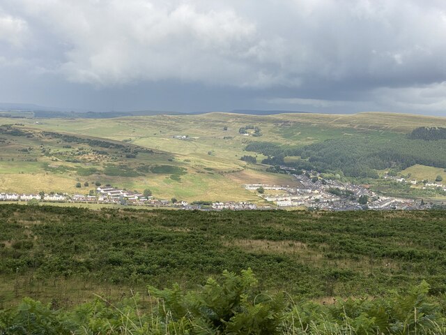
Troedrhiwfuwch is a small village located in the county of Glamorgan, Wales. Nestled in the picturesque countryside, it is situated approximately 12 miles north of Cardiff, the capital city of Wales. The village is surrounded by rolling hills and lush green fields, offering a tranquil and scenic setting for its residents.
Troedrhiwfuwch is a close-knit community with a population of around 500 people. The village has a rich history, dating back to the 19th century when it was primarily a farming community. Today, it retains its rural charm and is known for its peaceful atmosphere and natural beauty.
The village is home to a number of traditional stone cottages, adding to its quaint and timeless appeal. There is also a village hall, which serves as a hub for community events and gatherings. Residents can enjoy various recreational activities, such as walking, cycling, and exploring the nearby nature trails.
While Troedrhiwfuwch may be small in size, it benefits from its close proximity to larger towns and cities. It offers easy access to amenities, including schools, shops, and healthcare services, making it an ideal place to live for those seeking a quieter lifestyle.
Overall, Troedrhiwfuwch is a charming village that encapsulates the beauty of the Welsh countryside. Its peaceful surroundings, rich history, and strong sense of community make it a desirable place to reside for both locals and visitors alike.
If you have any feedback on the listing, please let us know in the comments section below.
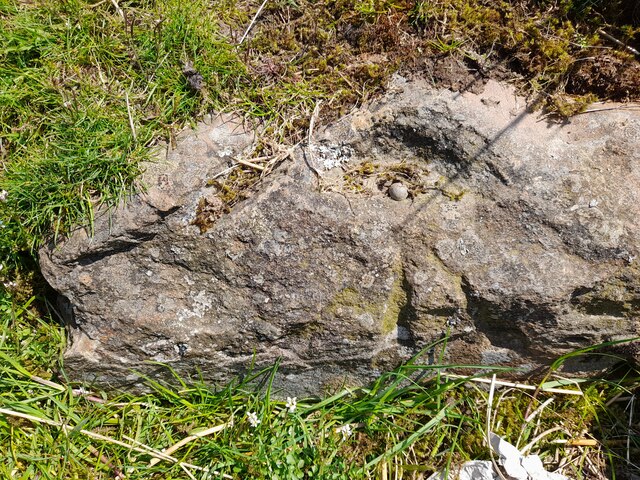
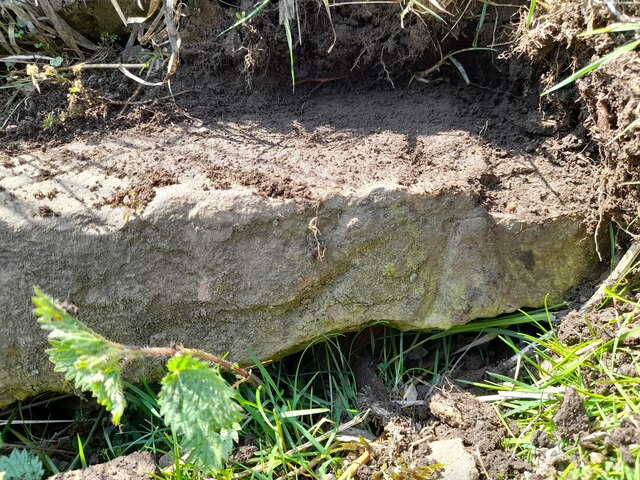
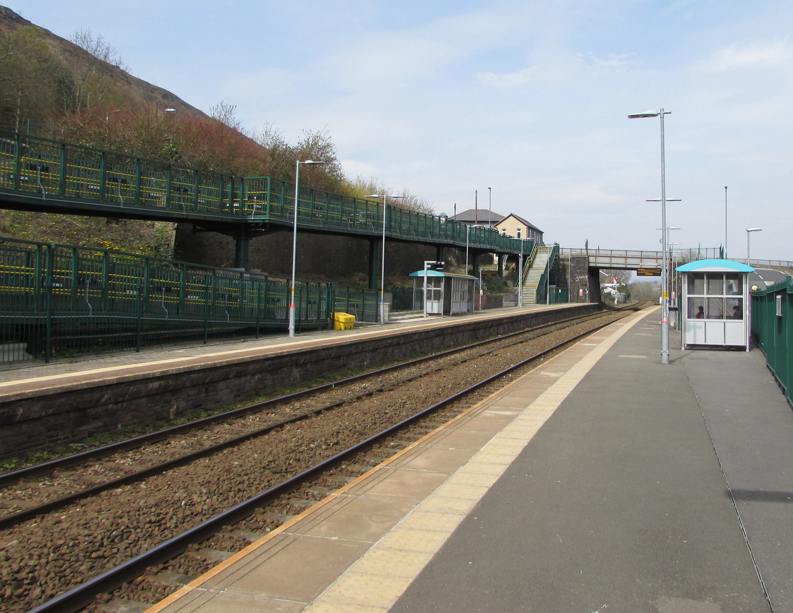
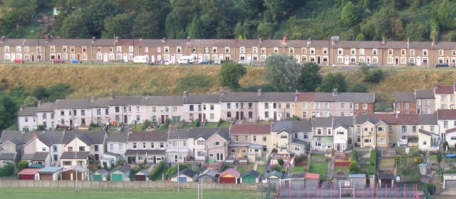
Troedrhiwfuwch Images
Images are sourced within 2km of 51.732471/-3.25398 or Grid Reference SO1304. Thanks to Geograph Open Source API. All images are credited.


Troedrhiwfuwch is located at Grid Ref: SO1304 (Lat: 51.732471, Lng: -3.25398)
Unitary Authority: Caerphilly
Police Authority: Gwent
Also known as: Troed-rhiw'r-fuwch
What 3 Words
///stylists.drew.zoomed. Near New Tredegar, Caerphilly
Nearby Locations
Related Wikis

Troedyrhifuwch Halt railway station
Troedyrhifuwch Halt railway station co-served the village of Tir-Phil, in the historic county of Glamorgan, Wales, from 1908 to 1916 on the Rhymney Railway...
Cefn y Brithdir
Cefn y Brithdir is the name given to the broad ridge of high ground between the Rhymney Valley (Welsh: Cwm Rhymni) and Cwm Darran in the Valleys region...
Abertysswg railway station
Abertysswg railway station was a station which served Abertysswg, in the Welsh county of Glamorgan. It was served by trains on the line from Pengam (Mon...
Tir-Phil
Tir-Phil is a village near the town of New Tredegar in the Caerphilly county borough of south Wales. The village of Tir-Phil and New Tredegar itself are...

Abertysswg
Abertysswg (Welsh: Abertyswg) is a village in the county borough of Caerphilly, Wales, within the historic boundaries of Monmouthshire. == Location... ==
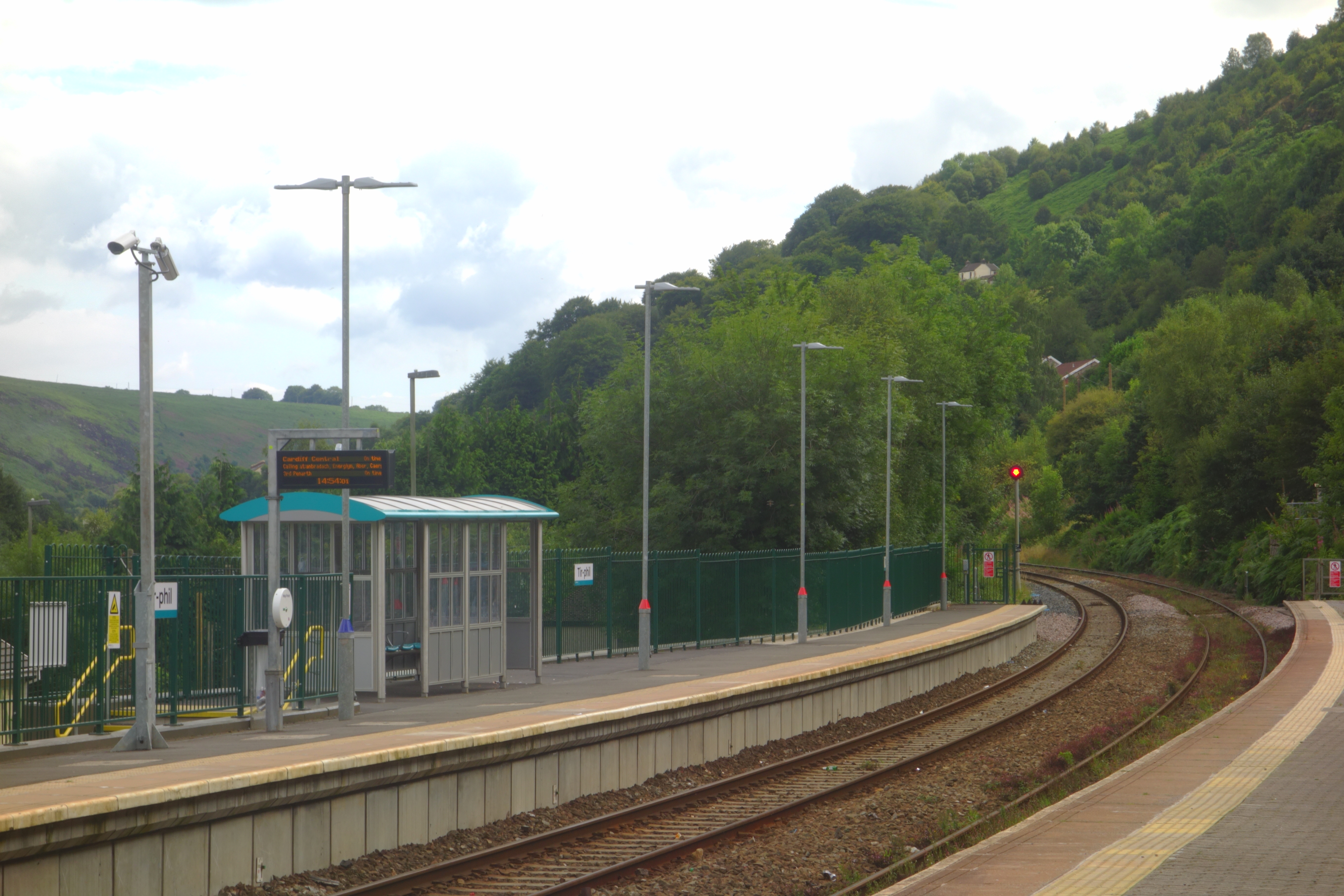
Tir-Phil railway station
Tir-Phil railway station is a railway station serving the village of Tir-Phil and the town of New Tredegar, south Wales. It is a stop on the Rhymney Line...
New Tredegar
New Tredegar (Welsh: Tredegar Newydd) is a former mining town and community in the Rhymney Valley, Caerphilly county borough, Wales, within the historic...
Mynydd Bedwellte
Mynydd Bedwellte is the name given to the broad ridge of high ground between the Rhymney Valley (Welsh: Cwm Rhymni) and the Sirhowy Valley in the Valleys...
Nearby Amenities
Located within 500m of 51.732471,-3.25398Have you been to Troedrhiwfuwch?
Leave your review of Troedrhiwfuwch below (or comments, questions and feedback).