Trimpley

Settlement in Worcestershire Wyre Forest

England

Trimpley

Sheep at Trimpley
Sheep at Trimpley Credit: Mat Fascione

Trimpley is a small village located in the Worcestershire county of England. Situated in the Wyre Forest District, it lies approximately 5 miles north of the town of Bewdley and 8 miles west of the city of Kidderminster. With a population of around 300 residents, Trimpley offers a tranquil and picturesque setting.

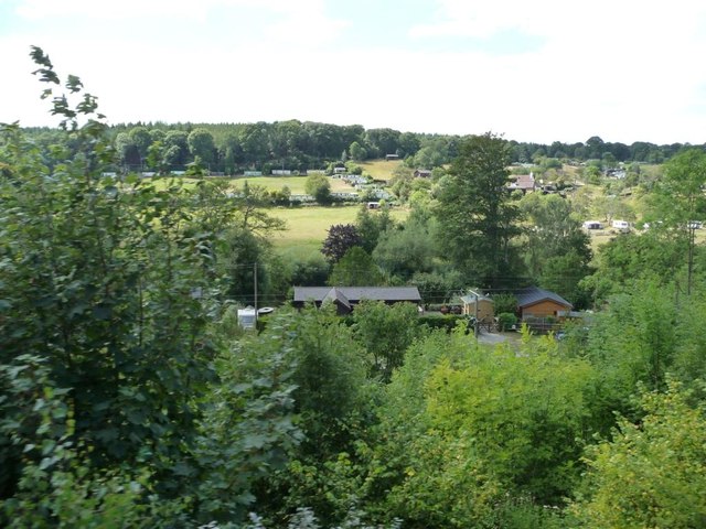
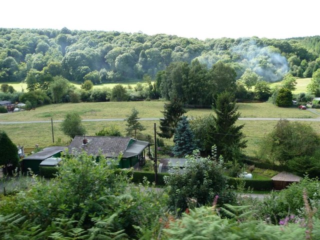
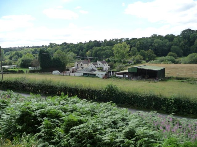
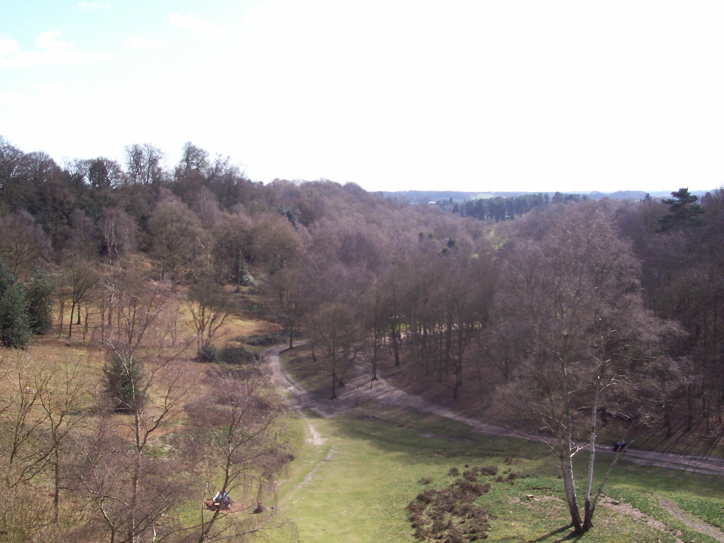
The village is nestled amidst rolling hills and surrounded by stunning natural landscapes. Trimpley Reservoir, a man-made lake, is a prominent feature and popular recreational spot for locals and visitors alike. It provides opportunities for boating, fishing, and scenic walks along its shores. The reservoir also serves as a crucial water source for the nearby towns and cities.

Trimpley is primarily a residential area, with a mix of traditional cottages and modern houses. The village lacks a central hub, but amenities such as a village hall and a local pub can be found within close proximity. The nearby towns provide additional facilities including shops, schools, and healthcare services.

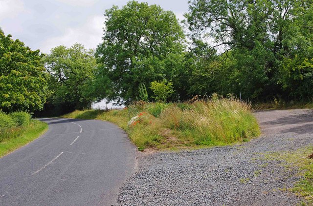
The village's location within the Wyre Forest District offers residents easy access to a range of outdoor activities. The surrounding countryside provides ample opportunities for hiking, cycling, and horse riding. Trimpley is also a gateway to the Wyre Forest, a large woodland area that is a designated Site of Special Scientific Interest.

Overall, Trimpley is a charming village that offers a peaceful rural lifestyle and close proximity to nature. Its scenic surroundings and recreational opportunities make it an attractive place to live or visit for those seeking a slower pace of life.

If you have any feedback on the listing, please let us know in the comments section below.
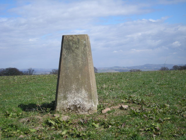
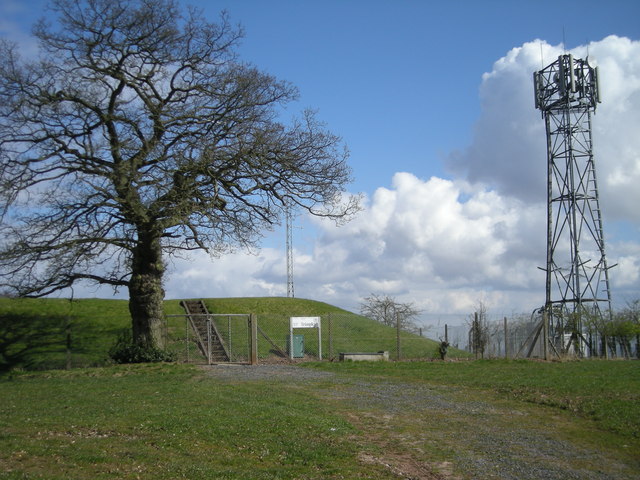
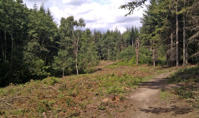
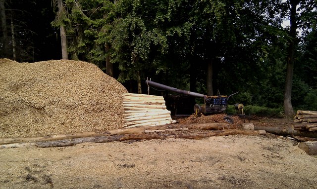
Trimpley Images

Images are sourced within 2km of 52.402907/-2.308641 or Grid Reference SO7978. Thanks to Geograph Open Source API. All images are credited.

Sheep at Trimpley
Sheep at Trimpley
Triangulation point off Trimpley Lane The hills on the horizon to the right of the triangulation point are, left to right, Hagley Hill & the Clent Hills just to the west of Birmingham.
Triangulation point off Trimpley Lane
The hills on the horizon to the right of the triangulation point are, left to right, Hagley Hill & the Clent Hills just to the west of Birmingham.
Reservoir & phone mast
Thistles next to Trimpley Lane
View through the thistles Looking west from near Trimpley Lane towards Titterstone Clee Hill, about 13 miles distant.
View through the thistles
Looking west from near Trimpley Lane towards Titterstone Clee Hill, about 13 miles distant.
Trimpley Lane at Brook's Coppice Heading south towards the village of Trimpley.
Trimpley Lane at Brook's Coppice
Heading south towards the village of Trimpley.
Tree in a field near Shatterford Offering great views in all directions, 202 metres above sea level.
Tree in a field near Shatterford
Offering great views in all directions, 202 metres above sea level.
Trimpley Reservoir, Severn Valley With the camera facing south, this is the view of Trimpley Reservoir from the adjacent railway line
Trimpley Reservoir, Severn Valley
With the camera facing south, this is the view of Trimpley Reservoir from the adjacent railway line
Recently cleared area of Eymore Wood, near Trimpley Part of the wood has recently been cleared here, giving a view that wasn't possible before.
Recently cleared area of Eymore Wood, near Trimpley
Part of the wood has recently been cleared here, giving a view that wasn't possible before.
Turning timber into fence posts, Eymore Wood, near Trimpley The Arley Estate, who own this wood, carry out various forestry operations. Here felled timber has been made into fence posts or stakes.
Turning timber into fence posts, Eymore Wood, near Trimpley
The Arley Estate, who own this wood, carry out various forestry operations. Here felled timber has been made into fence posts or stakes.
Layby and road near Trimpley This minor road comes up from the Severn Trent water treatment plant by the River Severn, and Eymore Wood, and passes through the small village of Trimpley. On the verge between the road and the layby, some poppies have very recently appeared.

<a href="https://www.geograph.org.uk/photo/2531606">SO7878 : Poppies in the roadside verge near Trimpley</a>.
Layby and road near Trimpley
This minor road comes up from the Severn Trent water treatment plant by the River Severn, and Eymore Wood, and passes through the small village of Trimpley. On the verge between the road and the layby, some poppies have very recently appeared. SO7878 : Poppies in the roadside verge near Trimpley.
Poppies in the roadside verge near Trimpley In the last couple of weeks, a few poppies have emerged here. It is surprising because the impressive displays, a few miles away, in fields near Bewdley, which appeared in early June, have almost completely disappeared.

<a href="https://www.geograph.org.uk/photo/2531580">SO7878 : Layby and road near Trimpley</a>.
Poppies in the roadside verge near Trimpley
In the last couple of weeks, a few poppies have emerged here. It is surprising because the impressive displays, a few miles away, in fields near Bewdley, which appeared in early June, have almost completely disappeared. SO7878 : Layby and road near Trimpley.
Holiday homes along the Severn Valley Wooden chalets on this side, a square of park homes or static caravans on the far side. Seen from a south-bound Severn Valley Railway train.
Holiday homes along the Severn Valley
Wooden chalets on this side, a square of park homes or static caravans on the far side. Seen from a south-bound Severn Valley Railway train.
Wooden bungalow, Northwood Lane The riverside bungalows were built in the 1930s and earlier, before strict planning controls, as holiday homes and weekend retreats for anglers from the West Midlands. Seen from a south-bound Severn Valley Railway train.
Wooden bungalow, Northwood Lane
The riverside bungalows were built in the 1930s and earlier, before strict planning controls, as holiday homes and weekend retreats for anglers from the West Midlands. Seen from a south-bound Severn Valley Railway train.
Farm buildings off Northwood Road Seen from a south-bound Severn Valley Railway train.
Farm buildings off Northwood Road
Seen from a south-bound Severn Valley Railway train.
Lower Pool, Trimpley Reservoir The lower pool or settling pool at Trimpley. I am unsure as to the purpose of the floating rings, they could be fish hatchery nets or have some filtration purpose
Lower Pool, Trimpley Reservoir
The lower pool or settling pool at Trimpley. I am unsure as to the purpose of the floating rings, they could be fish hatchery nets or have some filtration purpose
Severn Valley Railway Track, Trimpley Reservoir Looking Northwest along the track at the crossing point near Trimpley Lower Pool
Severn Valley Railway Track, Trimpley Reservoir
Looking Northwest along the track at the crossing point near Trimpley Lower Pool
Grassy Ride in Eymore Woods Broad track leading down through the woods to the treatment works at Trimpley Reservoir
Grassy Ride in Eymore Woods
Broad track leading down through the woods to the treatment works at Trimpley Reservoir
Show me another place!

Trimpley is located at Grid Ref: SO7978 (Lat: 52.402907, Lng: -2.308641)

Administrative County: Worcestershire

District: Wyre Forest

Police Authority: West Mercia

What 3 Words

///irritable.grins.famous. Near Bewdley, Worcestershire

Related Wikis

Trimpley

Trimpley (grid reference SO793784) is a hamlet in the parish of Kidderminster Foreign. It lies on the ridge of Shatterford Hill, north of Wribbenhall...

Northwood Halt railway station

Northwood Halt is an unstaffed request stop on the Severn Valley Railway in Worcestershire, situated a little to the north of Bewdley on the outskirts...

Shatterford Hill

Shatterford Hill is an English geographical feature that extends from Bewdley in north Worcestershire to Birdsgreen near Alveley, just over the border...

Dowles Brook

Dowles Brook flows through the heart of the Wyre Forest, into the former civil parish of Dowles and into the River Severn. == History == In 1902, ornithologist...

Drakelow, Worcestershire

Drakelow is a hamlet in Worcestershire, England. It is one of the ancient townships of the manor of Wolverley, whose extent was similar to that of the...

Dowles

Dowles is a hamlet in the civil parish of Upper Arley, in the Wyre Forest district, in the county of Worcestershire, England. It is about 3 miles from...

Habberley, Worcestershire

Habberley was one of the hamlets of the ancient parish of Kidderminster in the county of Worcestershire, England. It is now divided so that part of it...

Victoria Bridge, Worcestershire

The Victoria Bridge crosses the River Severn between Arley and Bewdley in Worcestershire, England. At the time of its construction, the 200-foot railway...

Nearby Amenities

Located within 500m of 52.402907,-2.308641
Trimpley Green Crossroads
Naptan AtcoCode: 2000G106600
Naptan Bearing: N
Naptan BusStopType: CUS
Naptan CommonName: Trimpley Green Crossroads
Naptan Indicator: opp
Naptan Landmark: Trimpley Green
Naptan NaptanCode: wocgmdjd
Naptan Street: Hoarstone Lane
Naptan Verified: no
Source: naptan_import
Lat/Long: 52.4003134/-2.3045571
Bus Stop
Reservoir Lane
Bus: yes
Naptan AtcoCode: 2000G500144
Naptan Bearing: S
Naptan CommonName: Reservoir Lane
Naptan Crossing: Reservoir Lane
Naptan Indicator: Opp
Naptan NaptanCode: wocdpada
Naptan Street: Trimpley Lane
Naptan Verified: no
Public Transport: platform
Source: naptan_import
Lat/Long: 52.4053101/-2.3087956
Trimpley Green Crossroads
Naptan AtcoCode: 2000G581589
Naptan Bearing: S
Naptan BusStopType: CUS
Naptan CommonName: Trimpley Green Crossroads
Naptan Indicator: Adj
Naptan Landmark: Trimpley Green
Naptan NaptanCode: wocgagwg
Naptan Street: Hoarstone Lane
Naptan Verified: no
Source: naptan_import
Lat/Long: 52.4006103/-2.3044856
Reservoir Lane
Naptan AtcoCode: 2000G590144
Naptan Bearing: N
Naptan BusStopType: CUS
Naptan CommonName: Reservoir Lane
Naptan Crossing: Reservoir Lane
Naptan Indicator: adj
Naptan NaptanCode: wocdgapg
Naptan Street: Trimpley Lane
Naptan Verified: no
Source: naptan_import
Lat/Long: 52.4053723/-2.3090606
Trimpley Church
Naptan AtcoCode: 2000G610003
Naptan Bearing: W
Naptan BusStopType: CUS
Naptan CommonName: Trimpley Church
Naptan Indicator: Adj
Naptan Landmark: Trimpley Church
Naptan NaptanCode: wocdpmdm
Naptan Street: Trimpley Road
Naptan Verified: no
Source: naptan_import
Lat/Long: 52.4066679/-2.3120979
Barrier: kissing_gate
Foot: yes
Lat/Long: 52.4044605/-2.3072988
Power: tower
Lat/Long: 52.3995436/-2.3114243
Power: tower
Lat/Long: 52.401395/-2.3118773
Power: tower
Lat/Long: 52.4031995/-2.3122411
Power: tower
Lat/Long: 52.4052547/-2.3128211
Turning Circle
Lat/Long: 52.403159/-2.3068259
Post Box
Collection Times: Mo-Fr 11:00; Sa 11:00
Post Box Type: lamp
Ref: DY12 225
Royal Cypher: EIIR
Royal Cypher Wikidata: Q33102113
Lat/Long: 52.4001836/-2.3043669
Turning Circle
Lat/Long: 52.3994205/-2.3100472
Generator Method: photovoltaic
Generator Output Electricity: yes
Generator Source: solar
Generator Type: solar_photovoltaic_panel
Location: roof
Power: generator
Lat/Long: 52.4031371/-2.30549
The data included in this document is from www.openstreetmap.org. The data is made available under ODbL.

Have you been to Trimpley?

Leave your review of Trimpley below (or comments, questions and feedback).