Trewornan

Settlement in Cornwall

England

Trewornan

Whitecross entrance sign
Whitecross entrance sign Credit: Alex McGregor

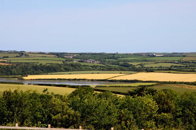
Trewornan is a picturesque village located in the county of Cornwall, England. Situated in the southwestern part of the country, it lies within close proximity to the popular towns of Wadebridge and Padstow. Trewornan is characterized by its idyllic rural setting, surrounded by rolling hills, lush green fields, and meandering streams.

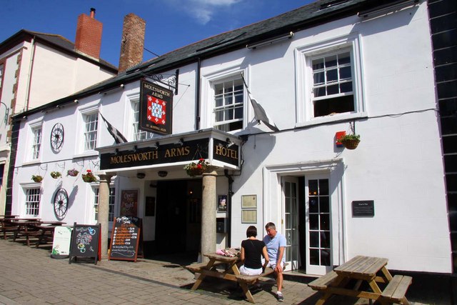
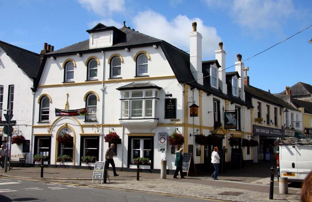
The village itself is small, with a tight-knit community that exudes a warm and welcoming atmosphere. Its charm lies in its traditional Cornish architecture, with quaint cottages built from local stone and thatched roofs, which add to the area's timeless appeal.

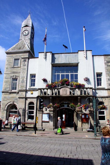
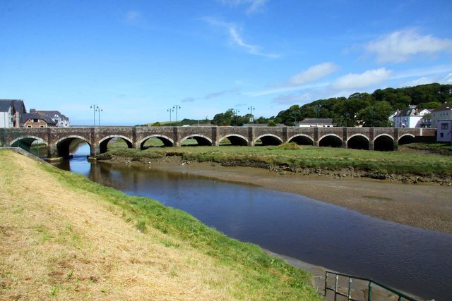
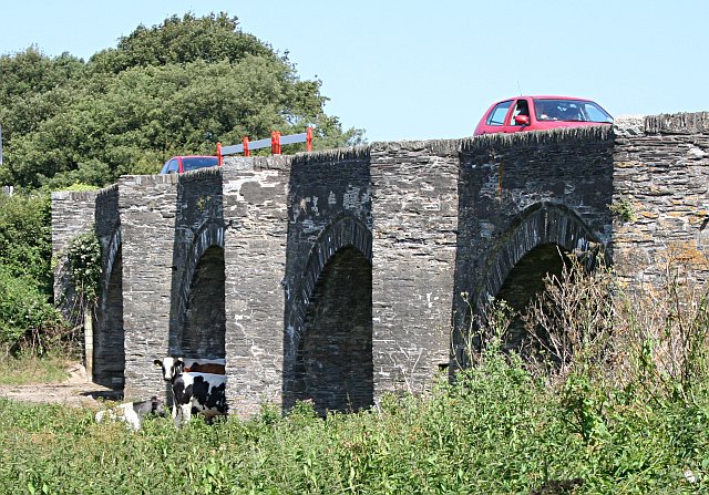
Trewornan is also known for its rich history, with several historic landmarks within easy reach. One such attraction is Trewornan Bridge, a medieval structure that spans the nearby River Camel. This bridge serves as a reminder of the village's past and is a popular spot for visitors to take in the scenic beauty of the area.

Nature enthusiasts will find themselves at home in Trewornan, as the village is surrounded by stunning countryside and offers ample opportunities for outdoor activities. Hiking and cycling trails abound, allowing visitors to explore the area's natural beauty at their leisure.

In conclusion, Trewornan is a charming and peaceful village in Cornwall that offers a tranquil escape from the hustle and bustle of city life. With its stunning landscapes, rich history, and warm community, it is a destination well worth exploring for those seeking a true taste of rural England.

If you have any feedback on the listing, please let us know in the comments section below.

Trewornan Images

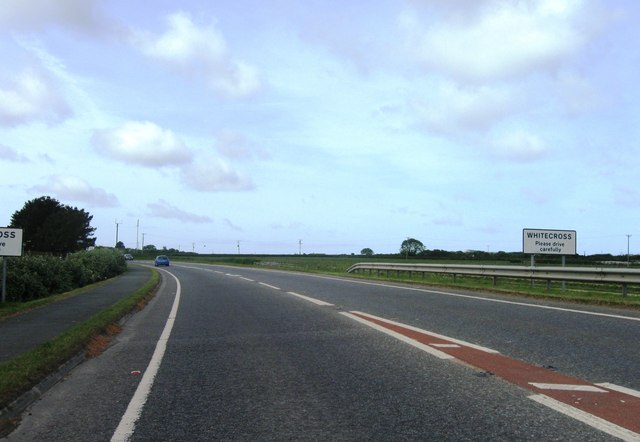
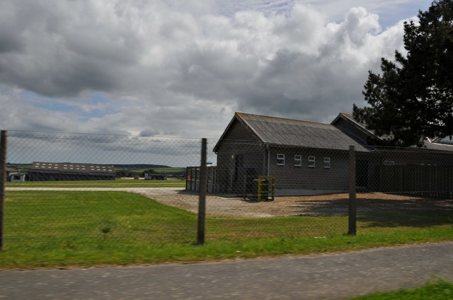
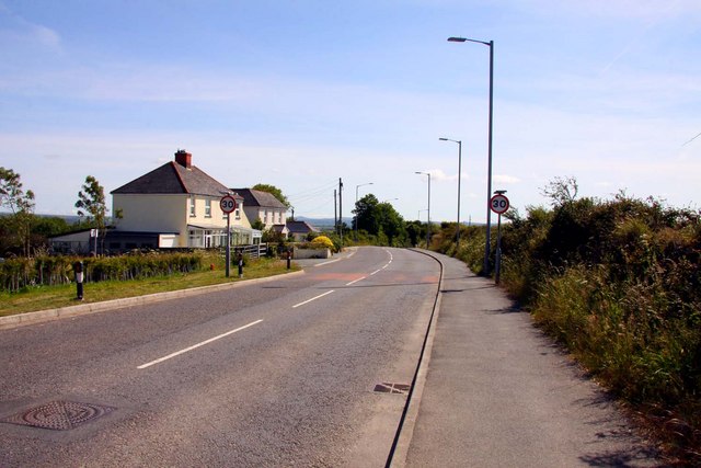
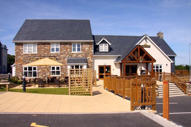
Images are sourced within 2km of 50.530817/-4.8515918 or Grid Reference SW9874. Thanks to Geograph Open Source API. All images are credited.

Whitecross entrance sign
Wadebridge : Cornwall County Showground Looking into the showground from the A39 where they hold the annual Royal Cornwall Show.
Wadebridge : Cornwall County Showground
Looking into the showground from the A39 where they hold the annual Royal Cornwall Show.
Wadebridge : Royal Cornwall Showground Looking into the showground from the A39. Here is where they hold the Royal Cornwall Show.
Wadebridge : Royal Cornwall Showground
Looking into the showground from the A39. Here is where they hold the Royal Cornwall Show.
The Travelodge in Wadebridge
West Hill to Wadebridge
The Falcon in Wadebridge The pub/restaurant is behind the Travelodge on West Hill.
The Falcon in Wadebridge
The pub/restaurant is behind the Travelodge on West Hill.
The River Camel from the Falcon
The River Camel at Wadebridge
Industrial area on the River Camel
Wadebridge Town Hall The Town Hall was opened in 1888 by Sir Paul Molesworth. It was known locally as Molesworth Hall.
Wadebridge Town Hall
The Town Hall was opened in 1888 by Sir Paul Molesworth. It was known locally as Molesworth Hall.
Martin's newsagents on The Platt
Molesworth Street
Molesworth Street
The Molesworth Arms
The Molesworth Arms
Looking down Molesworth Street
Molesworth Street
Molesworth Street
The Swan Hotel
The Swan Hotel
The Old Bridge over the River Camel
Show me another place!

Trewornan is located at Grid Ref: SW9874 (Lat: 50.530817, Lng: -4.8515918)

Unitary Authority: Cornwall

Police Authority: Devon and Cornwall

What 3 Words

///peach.sandpaper.stale. Near Wadebridge, Cornwall

Related Wikis

Trewornan

Trewornan is a hamlet north west of Wadebridge, Cornwall, England, United Kingdom. It is on the B3314 main coast road that links Wadebridge to the tourist...

Burniere

Burniere is a settlement near Bodieve on the outskirts of Wadebridge in north Cornwall, England, United Kingdom.Charles Henderson proposed that the manor...

Trevanson

Trevanson (Cornish: Trevansyn) is a small hamlet in north Cornwall in England. It is on the northern fringe of Wadebridge in the civil parish of St Breock...

Lower Amble

Lower Amble is a hamlet in the civil parish of St Kew (where the population at the 2011 census was included.), Cornwall, England, UK. Lower Amble is...

Nearby Amenities

Located within 500m of 50.530817,-4.8515918
Source: PGS
Lat/Long: 50.53426/-4.856111
Source: PGS
Lat/Long: 50.534095/-4.8556857
Source: PGS
Lat/Long: 50.5334917/-4.8539392
Source: PGS
Lat/Long: 50.533499/-4.8537263
Source: PGS
Lat/Long: 50.5334166/-4.8534937
Source: PGS
Lat/Long: 50.5333696/-4.8517662
Source: PGS
Lat/Long: 50.5323427/-4.8537447
Source: PGS
Lat/Long: 50.530853/-4.8501359
Source: PGS
Lat/Long: 50.5333263/-4.8504908
Source: PGS
Lat/Long: 50.5333533/-4.8506925
Source: PGS
Lat/Long: 50.5334295/-4.8507717
Source: PGS
Lat/Long: 50.5335051/-4.8507562
Source: PGS
Lat/Long: 50.5335507/-4.8506214
Source: PGS
Lat/Long: 50.533545/-4.8504687
Source: PGS
Lat/Long: 50.532727/-4.8489681
Source: PGS
Lat/Long: 50.5327495/-4.8488848
Source: PGS
Lat/Long: 50.5327119/-4.8488386
Source: PGS
Lat/Long: 50.5326892/-4.8488906
Source: PGS
Lat/Long: 50.532479/-4.8486443
Source: PGS
Lat/Long: 50.5322422/-4.8483101
Source: PGS
Lat/Long: 50.5316799/-4.8490392
Source: PGS
Lat/Long: 50.5308892/-4.8489921
Source: PGS
Lat/Long: 50.5301012/-4.8485723
Source: PGS
Lat/Long: 50.5286069/-4.8481036
Source: PGS
Lat/Long: 50.5281934/-4.8481131
Source: PGS
Lat/Long: 50.5277716/-4.8479818
Source: PGS
Lat/Long: 50.527129/-4.847824
Source: PGS
Lat/Long: 50.5264816/-4.8498421
Source: PGS
Lat/Long: 50.5267331/-4.8502265
Source: PGS
Lat/Long: 50.527106/-4.8510256
Source: PGS
Lat/Long: 50.5274803/-4.8517246
Source: PGS
Lat/Long: 50.5279306/-4.8523621
Source: PGS
Lat/Long: 50.5281845/-4.8530502
Source: PGS
Lat/Long: 50.52848/-4.8537559
Source: PGS
Lat/Long: 50.5287681/-4.8547352
Source: PGS
Lat/Long: 50.5289995/-4.8563528
The data included in this document is from www.openstreetmap.org. The data is made available under ODbL.

Have you been to Trewornan?

Leave your review of Trewornan below (or comments, questions and feedback).