Boulston

Settlement in Pembrokeshire

Wales

Boulston

St Ismael’s Church, Uzmaston
St Ismael’s Church, Uzmaston Credit: Alan Hughes

The requested URL returned error: 429 Too Many Requests

If you have any feedback on the listing, please let us know in the comments section below.
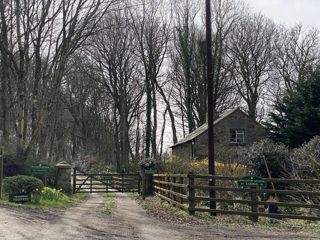
Boulston Images

Images are sourced within 2km of 51.776105/-4.936272 or Grid Reference SM9712. Thanks to Geograph Open Source API. All images are credited.

St Ismael’s Church, Uzmaston
Riverside View Houses on the green at Uzmaston.
Riverside View
Houses on the green at Uzmaston.
Hanton Bridge
Hanton Bridge
A glimpse of the Western Cleddau
Private lane to Boulston Farm
Tree-lined lane Leading to East Wood Farm.
Tree-lined lane
Leading to East Wood Farm.
Farm lane in spring From Woodleys to Norchard.
Farm lane in spring
From Woodleys to Norchard.
Boulston Manor Lodge Entrance to Boulston Manor.
Boulston Manor Lodge
Entrance to Boulston Manor.
A glimpse of the Western Cleddau
Housing at Lower Freystrop
The footbridge at Little Milford
Ford or footbridge? The signpost gives the options.  There are two ways to cross this small stream. See: <a title="https://www.geograph.org.uk/photo/7651937" href="https://www.geograph.org.uk/photo/7651937">Link</a>
Maybe it isn't always a small stream...
Ford or footbridge?
The signpost gives the options. There are two ways to cross this small stream. See: Link Maybe it isn't always a small stream...
The yard of Ffermdy Little Milford A mix of languages in the National Trust name for the 'farm'. I think it's now a holiday rental.
The yard of Ffermdy Little Milford
A mix of languages in the National Trust name for the 'farm'. I think it's now a holiday rental.
Tree roots across the bridleway Always a challenge for a bike, but worse when wet!
Tree roots across the bridleway
Always a challenge for a bike, but worse when wet!
The bridleway next to Cleddau Wen
Cleddau Wen/Western Cleddau at low tide Crossing this would be impossible at low tide!
Cleddau Wen/Western Cleddau at low tide
Crossing this would be impossible at low tide!
Just enough clearance on the bridleway! Falling trees are held up by their crown of branches.
Just enough clearance on the bridleway!
Falling trees are held up by their crown of branches.
The bridleway joins the road at Hook
Show me another place!

Boulston is located at Grid Ref: SM9712 (Lat: 51.776105, Lng: -4.936272)

Unitary Authority: Pembrokeshire

Police Authority: Dyfed Powys

What 3 Words

///newlywed.aged.powerful. Near Hook, Pembrokeshire

Nearby Locations

Boulston

Related Wikis

Boulston

Boulston is a small settlement and former parish on the left bank of the Western Cleddau river in Pembrokeshire, Wales, in the community of Uzmaston, Boulston...

Hook Wood

Hook Wood is a Site of Special Scientific Interest (or SSSI) in Pembrokeshire, South Wales. In 1603 George Owen described Hook Wood as one of “the best...

Hook, Pembrokeshire

Hook is a village and community on the Western Cleddau, Pembrokeshire, Wales, in the ecclesiastical parish of Llangwm. == Name == The name could be derived...

Uzmaston

Uzmaston is a small parish in Pembrokeshire, Wales, about 2 kilometres south-east of Haverfordwest. The village, to the northwest of Boulston, forms part...

Have you been to Boulston?

Leave your review of Boulston below (or comments, questions and feedback).