Bougton End
Settlement in Bedfordshire
England
Bougton End
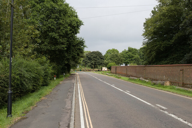
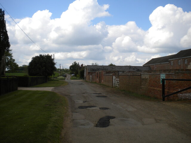
Boughton End is a small village located in the county of Bedfordshire, England. Situated approximately 4 miles south-east of the town of Bedford, it is part of the Bedford Borough Council area. The village is surrounded by picturesque countryside, with rolling hills and farmland.
Boughton End has a population of around 200 people, making it a close-knit and tight community. The village itself consists of a few residential houses, a village hall, and a primary school. The primary school serves the local children, providing education from reception to year 6.
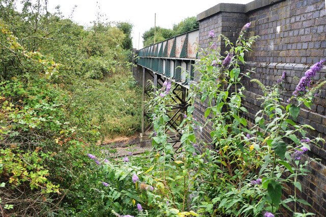
Although small in size, the village offers a peaceful and tranquil atmosphere for its residents. The surrounding countryside provides ample opportunities for outdoor activities such as hiking, cycling, and horse riding. The area is also known for its beautiful views and nature reserves, making it a popular spot for birdwatching and wildlife enthusiasts.
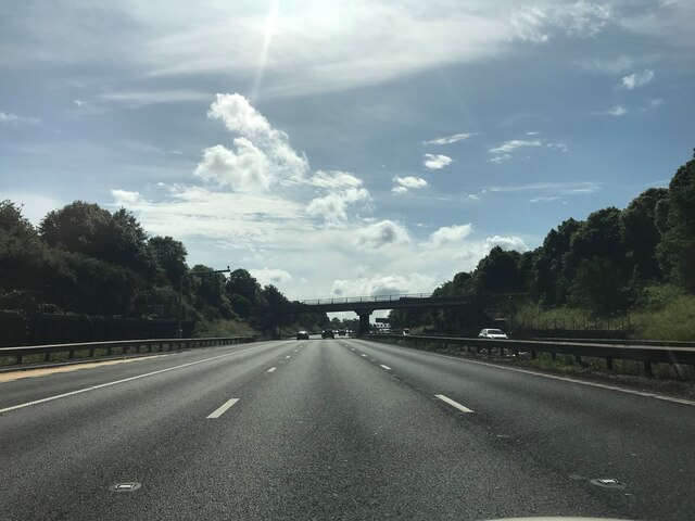
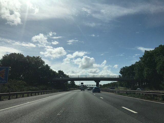
Boughton End is well-connected to neighboring towns and cities, with good road links to Bedford and the surrounding areas. The village is also served by public transportation, with regular bus services connecting it to nearby towns.
Overall, Boughton End is a charming and idyllic village in Bedfordshire, offering a quiet and peaceful lifestyle for its residents. With its scenic countryside and close proximity to amenities, it is an attractive place to live for those seeking a rural setting.
If you have any feedback on the listing, please let us know in the comments section below.
Bougton End Images
Images are sourced within 2km of 52.022772/-0.5731732 or Grid Reference SP9837. Thanks to Geograph Open Source API. All images are credited.


Bougton End is located at Grid Ref: SP9837 (Lat: 52.022772, Lng: -0.5731732)
Unitary Authority: Central Bedfordshire
Police Authority: Bedfordshire
What 3 Words
///crazy.buying.journals. Near Ridgmont, Bedfordshire
Nearby Locations
Related Wikis

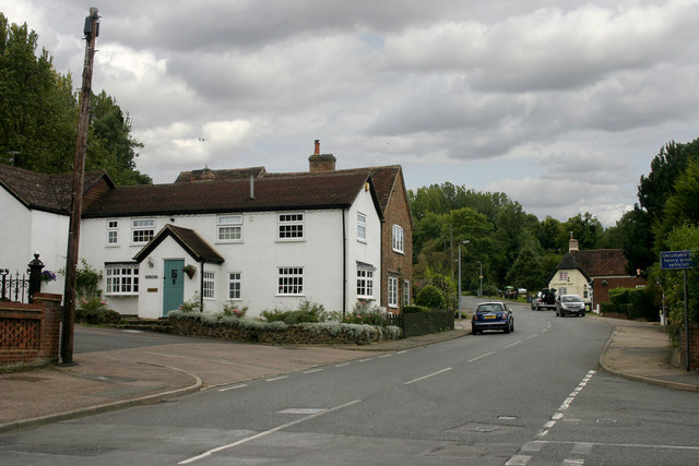
Ridgmont
Ridgmont is a small village and civil parish in Bedfordshire, England. It is located beside junction 13 of the M1 motorway, and close to Milton Keynes...
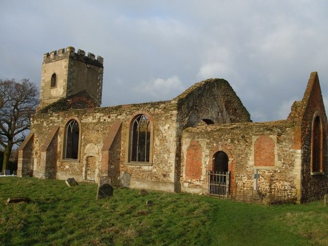
All Saints Church, Segenhoe
All Saints Church, Segenhoe is a ruined medieval church located near the village of Ridgmont, Bedfordshire. It contains architectural details that range...
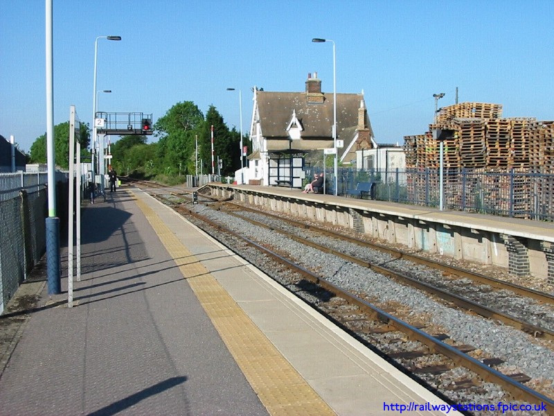
Ridgmont railway station
Ridgmont railway station is a small unstaffed railway station that serves the village of Ridgmont in Bedfordshire. The station is about 1 mile (2 km) away...

Rugemont Castle
Rugemont Castle was a castle in the village of Ridgmont, in the county of Bedfordshire, England (grid reference SP97033846). == History == Not much is...
Brogborough
Brogborough is a village and civil parish in the Central Bedfordshire district of Bedfordshire, England, by junction 13 of the M1 motorway. According...
Lidlington
Lidlington is a small village and civil parish in Central Bedfordshire, England surrounded by farmland, in the Marston Vale. The hamlets of Boughton End...
Husborne Crawley railway station
Husborne Crawley railway station served the village of Husborne Crawley, Bedfordshire, England from 1905 to 1941 on the Varsity line. == History == The...
Woburn Safari Park
Woburn Safari Park is a safari park located in Woburn, Bedfordshire, England. Visitors to the park can drive through exhibits, which contain species such...
Nearby Amenities
Located within 500m of 52.022772,-0.5731732Have you been to Bougton End?
Leave your review of Bougton End below (or comments, questions and feedback).