Tregagle

Settlement in Monmouthshire

Wales

Tregagle

Offa's Dyke Path  Offa's Dyke Path approaching Coxbury Farm.
Offa's Dyke Path Credit: Philip Halling

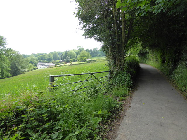
Tregagle is a small village located in Monmouthshire, Wales. Situated in the eastern part of the county, it is nestled within the scenic countryside, surrounded by lush green fields and rolling hills. The village is characterized by its peaceful and picturesque setting, making it an attractive destination for those seeking tranquility and natural beauty.

With a population of around 300 residents, Tregagle exudes a close-knit community feel. The village is known for its tight community bonds, where neighbors often come together to organize various events and activities. This fosters a strong sense of belonging and camaraderie among the locals.

Tregagle offers limited amenities, including a small convenience store and a cozy village pub. However, residents have easy access to larger towns and cities in the area for a wider range of services and facilities. The village is well-connected to the surrounding areas through a network of roads and public transportation links.

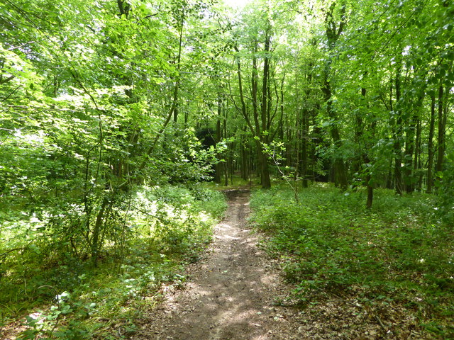
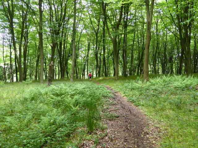
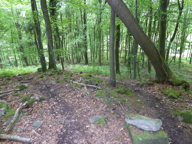
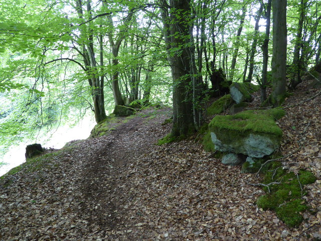
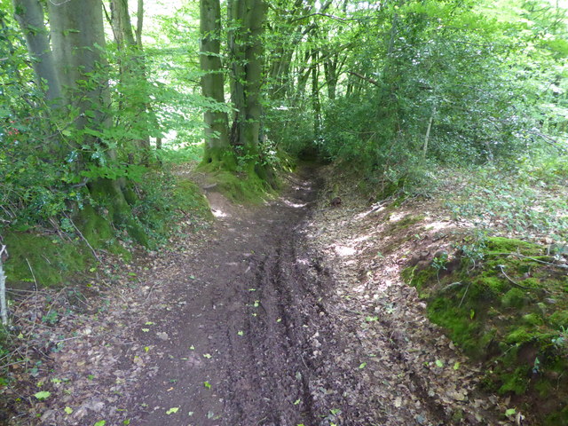
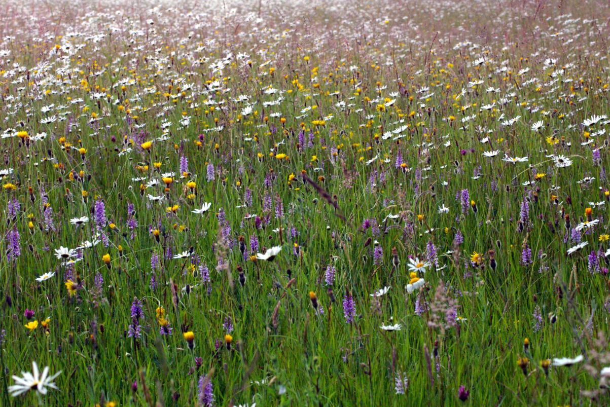
Nature enthusiasts will find Tregagle particularly appealing, as it is surrounded by beautiful landscapes. The village serves as a gateway to several walking and hiking trails, allowing visitors to explore the stunning Welsh countryside. The nearby Monmouthshire and Brecon Canal is also a popular spot for leisurely walks and boat trips.

Overall, Tregagle is a charming village that offers a peaceful and idyllic lifestyle. With its scenic surroundings and strong community spirit, it is a place where residents and visitors alike can embrace the beauty of the Welsh countryside.

If you have any feedback on the listing, please let us know in the comments section below.
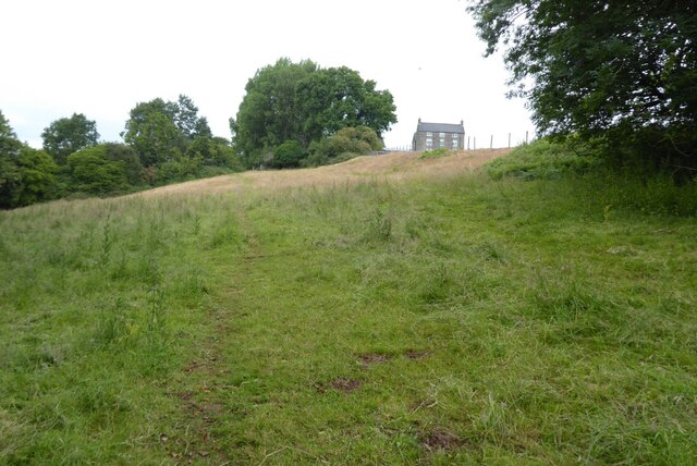
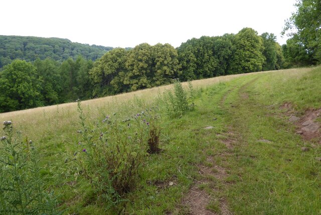
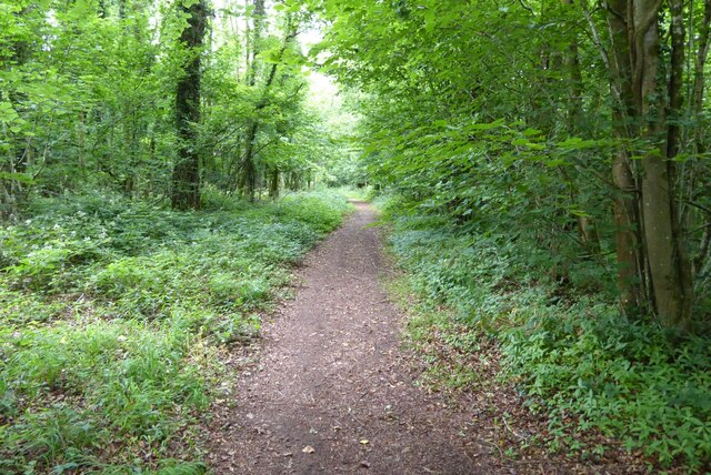
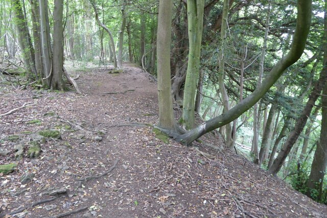
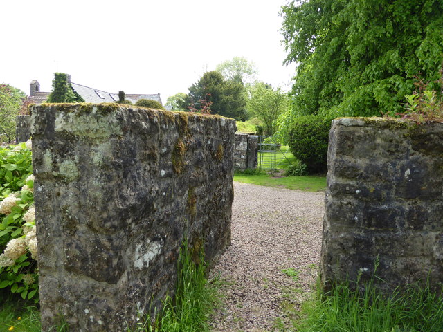
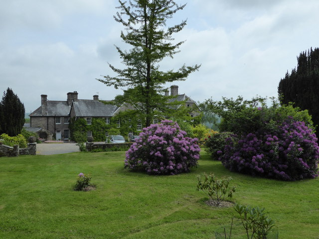
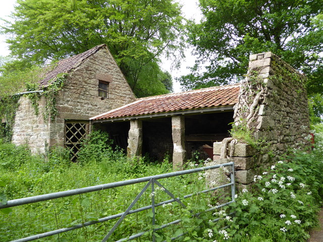
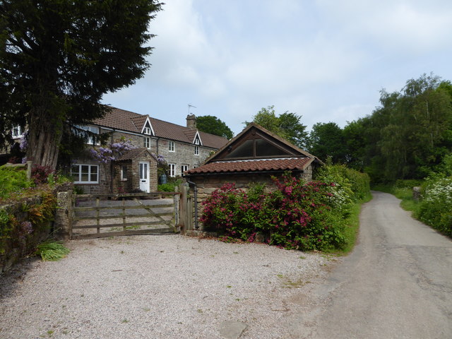
Tregagle Images

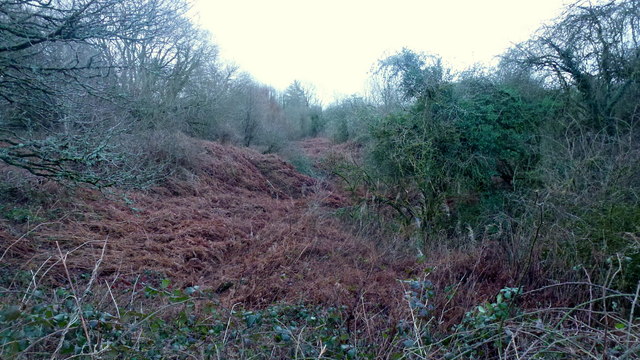
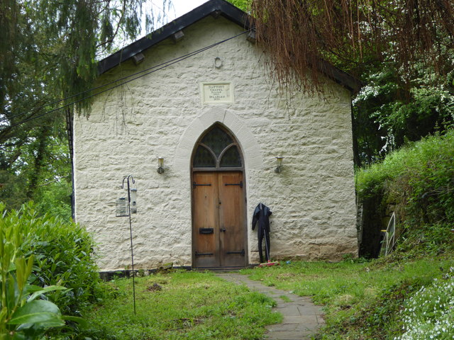
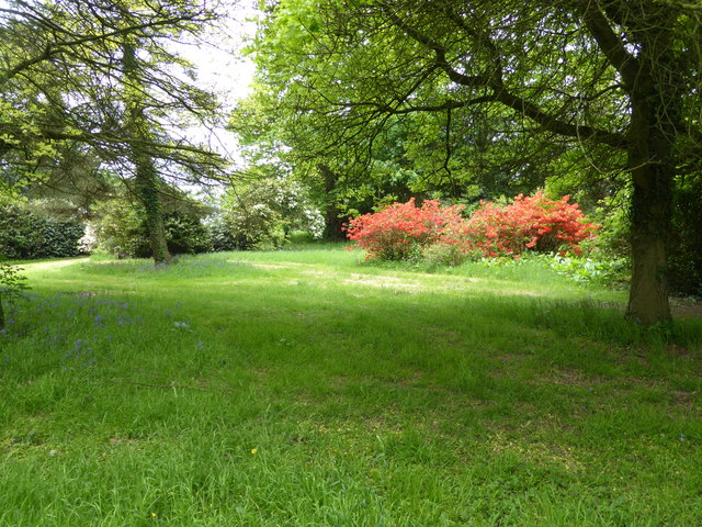
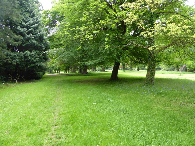
Images are sourced within 2km of 51.766627/-2.690041 or Grid Reference SO5207. Thanks to Geograph Open Source API. All images are credited.

Offa's Dyke Path  Offa's Dyke Path approaching Coxbury Farm.
Offa's Dyke Path
Offa's Dyke Path approaching Coxbury Farm.
Offa's Dyke Path Offa's Dyke Path crossing a field near Coxbury Farm.
Offa's Dyke Path
Offa's Dyke Path crossing a field near Coxbury Farm.
Woodland footpath This footpath in woodland on Highbury Plains is followed by Offa's Dyke Path.
Woodland footpath
This footpath in woodland on Highbury Plains is followed by Offa's Dyke Path.
Footpath in Highbury Wood Footpath through Highbury Wood above Redbrook.  Offa's Dyke Path follows this footpath.
Footpath in Highbury Wood
Footpath through Highbury Wood above Redbrook. Offa's Dyke Path follows this footpath.
Penallt Common Some pretty impenetrable land in here.
Penallt Common
Some pretty impenetrable land in here.
Old Baptist Chapel at Whitebrook Churches and chapels no. 49. The old Baptist Chapel is on a very steep descent from Pen-y-Fan. Built in 1829 now converted to a dwelling.
Old Baptist Chapel at Whitebrook
Churches and chapels no. 49. The old Baptist Chapel is on a very steep descent from Pen-y-Fan. Built in 1829 now converted to a dwelling.
In the grounds of The Argoed at Penallt Scarlet Rhododendrons here.
In the grounds of The Argoed at Penallt
Scarlet Rhododendrons here.
On a footpath through the grounds of The Argoed near Penallt Lovely parkland here.
On a footpath through the grounds of The Argoed near Penallt
Lovely parkland here.
Footpath at The Argoed near Penallt Crossing a drive.
Footpath at The Argoed near Penallt
Crossing a drive.
Rear of the Argoed at Penallt A lovely Victorian country house above the Wye Valley, once owned by Robert Plant, lead singer of Led Zeppelin, who recorded some albums at nearby Rockfield Studios in the 1980's. 

It has since been owned by a branch of my family (a great grandfather in common) who prospered in a chain of sports shops and other business interests I believe.

This house has its own Wikipedia article, impressive.<span class="nowrap"><a title="https://en.wikipedia.org/wiki/The_Argoed,_Penallt" rel="nofollow ugc noopener" href="https://en.wikipedia.org/wiki/The_Argoed,_Penallt">Link</a><img style="margin-left:2px;" alt="External link" title="External link - shift click to open in new window" src="https://s1.geograph.org.uk/img/external.png" width="10" height="10"/></span>
Rear of the Argoed at Penallt
A lovely Victorian country house above the Wye Valley, once owned by Robert Plant, lead singer of Led Zeppelin, who recorded some albums at nearby Rockfield Studios in the 1980's. It has since been owned by a branch of my family (a great grandfather in common) who prospered in a chain of sports shops and other business interests I believe. This house has its own Wikipedia article, impressive.LinkExternal link
Disused farm buildings near Tregagle Nice old buildings.
Disused farm buildings near Tregagle
Nice old buildings.
The Reynolds A terrace at Tregagle.
The Reynolds
A terrace at Tregagle.
Monmouthshire lane near Tre-gagle One of my fave areas in this blessed county.
Monmouthshire lane near Tre-gagle
One of my fave areas in this blessed county.
Footpath into the woods Nice May walking.
Footpath into the woods
Nice May walking.
A walk in the woods Nice walking.
A walk in the woods
Nice walking.
On a path in the woods Mountain bikers seem to like riding under this leaning tree.
On a path in the woods
Mountain bikers seem to like riding under this leaning tree.
Old path in the wood We discovered this old route.
Old path in the wood
We discovered this old route.
Old sunken way in the wood Now much used by mountain bikes and scramblers.
Old sunken way in the wood
Now much used by mountain bikes and scramblers.
Show me another place!

Tregagle is located at Grid Ref: SO5207 (Lat: 51.766627, Lng: -2.690041)

Unitary Authority: Monmouthshire

Police Authority: Gwent

Also known as: Tre-gagle

What 3 Words

///empty.secondly.reshaping. Near Mitchel Troy, Monmouthshire

Related Wikis

The Argoed, Penallt

The Argoed, Penallt, Monmouthshire, Wales, is a Victorian country house dating from the 1860s, with earlier origins from the late 16th and early 17th centuries...

Lower Hael Wood

Lower Hael Wood is a semi-ancient woodland and Site of Special Scientific Interest (SSSI), noted for its biological characteristics, in Monmouthshire,...

The Whitebrook

The Whitebrook, formerly known as The Crown at Whitebrook, is a restaurant with rooms in Whitebrook, 6 miles (9.7 km) south-south-east of Monmouth, Monmouthshire...

Graig Wood

Graig Wood is a Site of Special Scientific Interest (SSSI), noted for its biological characteristics, in Monmouthshire, south east Wales. It forms part...

The Narth

The Narth (Welsh: Pennarth) is a village in Monmouthshire, Wales. It is located about 6 miles (9.7 km) south of Monmouth, and about 2 miles (3.2 km) east...

Penallt

Penallt (also spelled Penalt) is a village in Monmouthshire, Wales, situated high on a hill 4 kilometres (2+1⁄2 mi) south of Monmouth. In the centre of...

Pentwyn Farm Grasslands

Pentwyn Farm Grasslands is a nature reserve, and a series of agricultural fields, in Monmouthshire, southeast Wales. It was designated a Site of Special...

Whitebrook

Whitebrook (Welsh: Gwenffrwd) is a small village in Monmouthshire, south-east Wales, United Kingdom. It is located four miles south east of Monmouth in...

Nearby Amenities

Located within 500m of 51.766627,-2.690041
Pool Farm
Addr City: Tregagle
Addr Postcode: NP25 4RY
Place: farm
Lat/Long: 51.7675365/-2.6909643
The data included in this document is from www.openstreetmap.org. The data is made available under ODbL.

Have you been to Tregagle?

Leave your review of Tregagle below (or comments, questions and feedback).