Tredworth
Settlement in Gloucestershire Gloucester
England
Tredworth
Tredworth is a neighborhood located in the city of Gloucester, in the county of Gloucestershire, England. Situated southwest of the city center, Tredworth is a diverse area with a rich history and a vibrant community.
The neighborhood is primarily residential, characterized by a mix of Victorian terraced houses and modern developments. Tredworth Road, the main thoroughfare, serves as a bustling hub with various shops, convenience stores, and local businesses. It also hosts a popular street market every Saturday, offering a range of fresh produce, clothing, and other goods.
Tredworth is known for its strong sense of community. The neighborhood is home to several places of worship, including churches, mosques, and temples, reflecting the multicultural makeup of its residents. Additionally, Tredworth is proud of its diverse culinary scene, with numerous eateries representing different cultures, such as Indian, African, and Caribbean cuisines.
Education plays a significant role in Tredworth, with several primary schools serving the local population. The neighborhood is also home to the King's School, a prominent secondary school with a long-standing reputation for academic excellence.
Tredworth's close proximity to Gloucester city center offers residents easy access to a wide range of amenities and attractions. The neighborhood is well-connected by public transport, with bus services connecting to other parts of the city and beyond.
Overall, Tredworth is a thriving and welcoming neighborhood that embraces its cultural diversity, fosters a strong community spirit, and provides its residents with a range of amenities and opportunities.
If you have any feedback on the listing, please let us know in the comments section below.
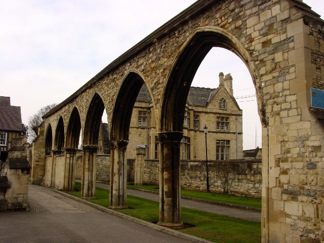
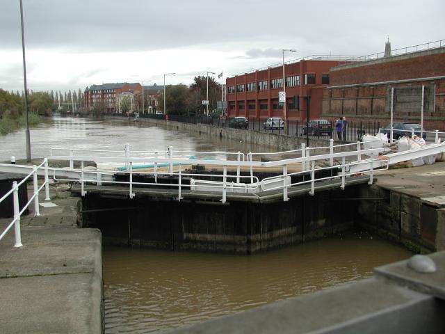
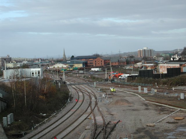
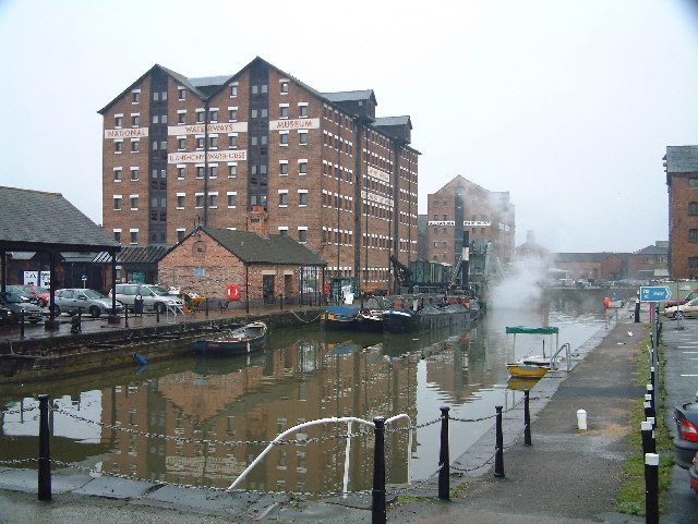
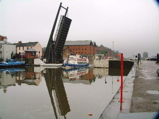
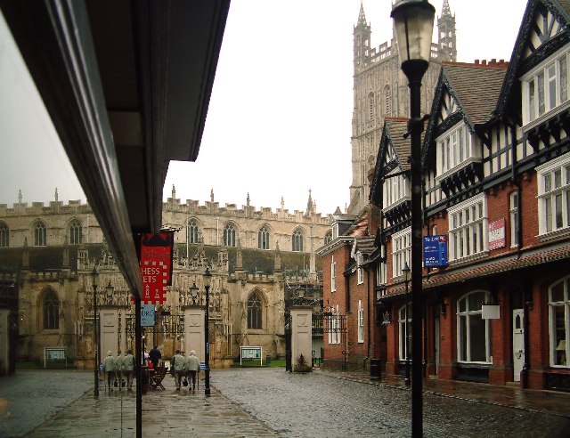
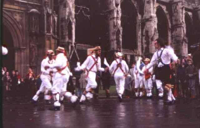
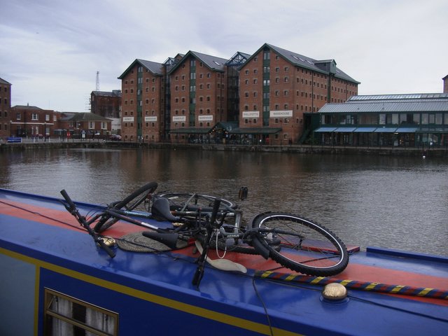
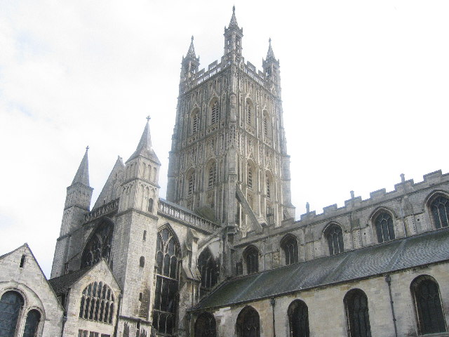
Tredworth Images
Images are sourced within 2km of 51.854011/-2.236341 or Grid Reference SO8317. Thanks to Geograph Open Source API. All images are credited.


Tredworth is located at Grid Ref: SO8317 (Lat: 51.854011, Lng: -2.236341)
Administrative County: Gloucestershire
District: Gloucester
Police Authority: Gloucestershire
What 3 Words
///tries.camera.flag. Near Gloucester, Gloucestershire
Nearby Locations
Related Wikis
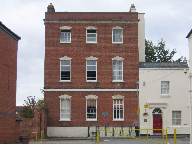
Barton and Tredworth
Barton and Tredworth is an area of Gloucester, England that lies just outside the Eastgate of the city and has a population of 10,953 at the 2011 Census...
Barton Street, Gloucester
Barton Street is a street in the Barton and Tredworth district of Gloucester that is the location of a number of listed buildings: Church of all Saints...

Gloucester FM
Gloucester FM (which describes itself on air exclusively as GFM) is a community radio station in Gloucestershire. It broadcasts countywide on 96.6FM FM...
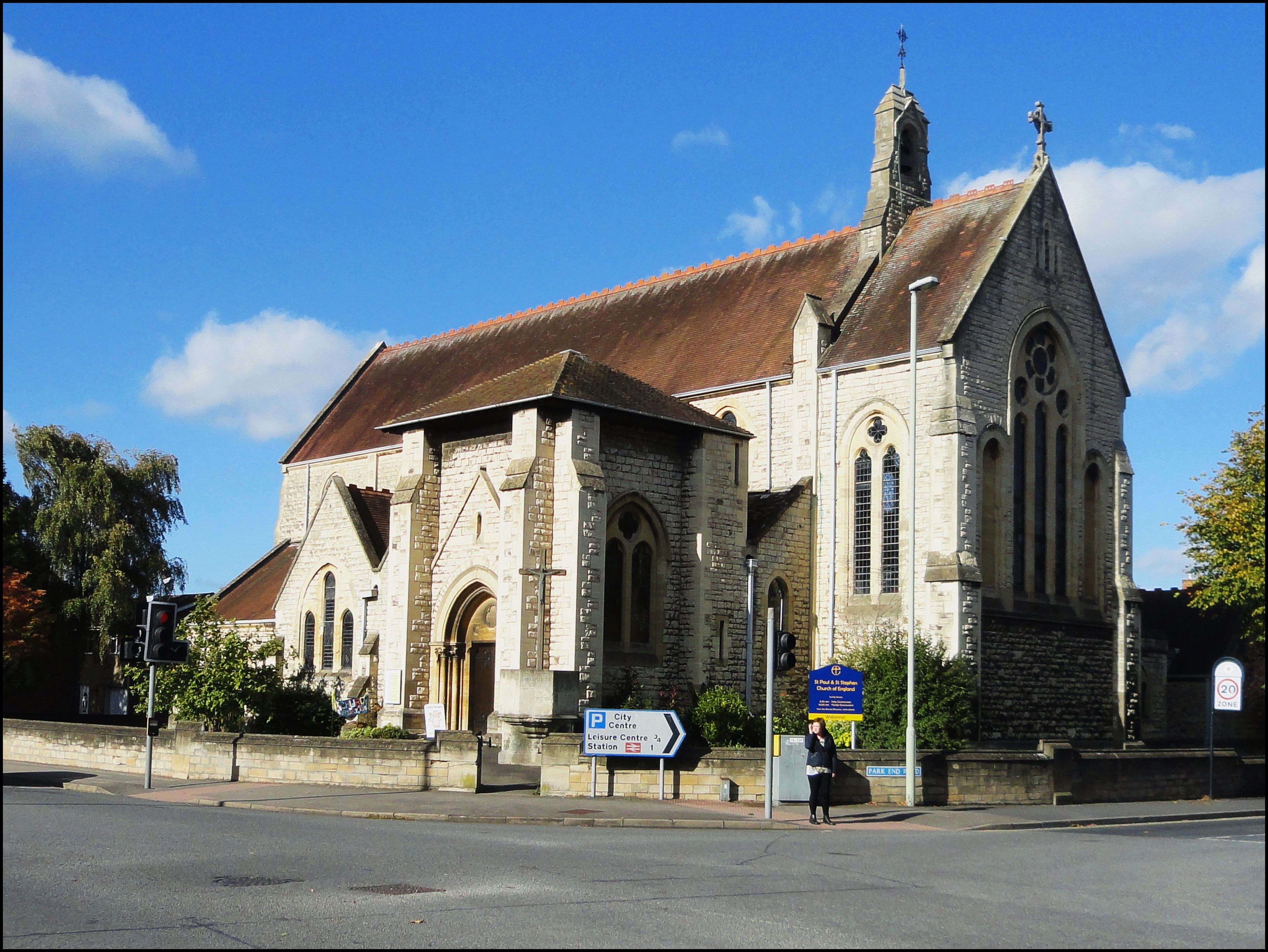
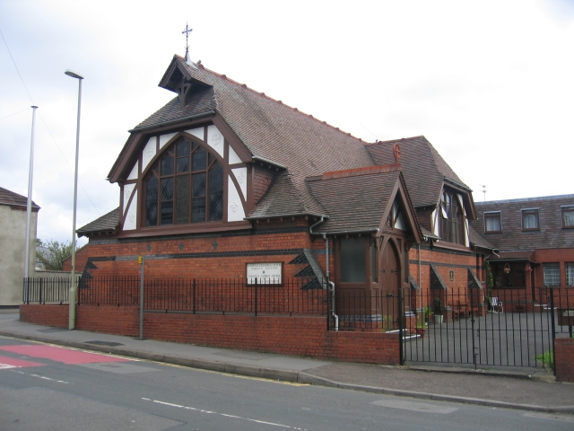
St Paul and St Stephen's Church, Gloucester
St Paul and St Stephen's Church is a Church of England church located in Stroud Road, Gloucester, Gloucestershire. St Paul's church was built between 1882...
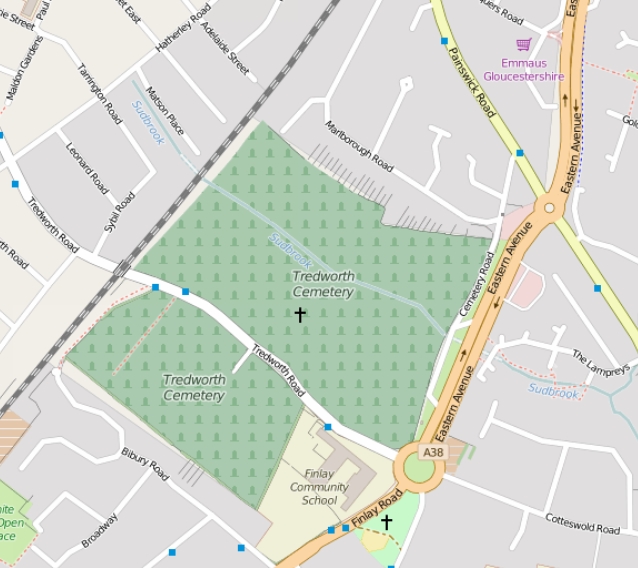
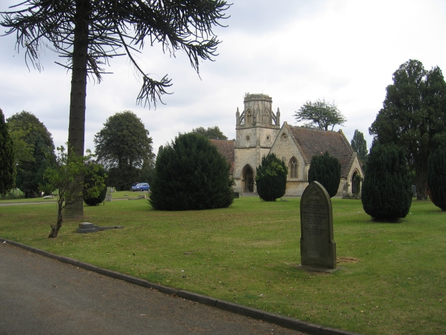
Tredworth Road Cemetery
Tredworth Road Cemetery, sometimes known as Gloucester Old Cemetery, is a cemetery in Gloucester, England, that is run by Gloucester City Council. In addition...
Gloucester Leisure Centre
Gloucester Leisure Centre was a leisure centre located at Station Road in Gloucester, England. A new leisure centre (branded GL1) was built nearby as a...

Spa Ground
Spa Ground is a cricket ground in Gloucester, Gloucestershire. The first recorded match on the ground was in 1867, when Gloucester played an All-England...

Gloucester Park, Gloucester
Gloucester Park is an urban park in Gloucester, Gloucestershire, England. == History == The park began life as part of the "Spa Pleasure Grounds" created...
Nearby Amenities
Located within 500m of 51.854011,-2.236341Have you been to Tredworth?
Leave your review of Tredworth below (or comments, questions and feedback).