Trawsfynydd
Settlement in Merionethshire
Wales
Trawsfynydd

The requested URL returned error: 429 Too Many Requests
If you have any feedback on the listing, please let us know in the comments section below.
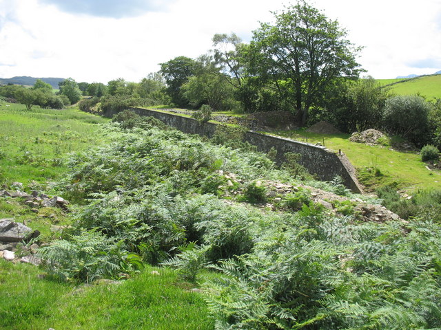
Trawsfynydd Images
Images are sourced within 2km of 52.902168/-3.923201 or Grid Reference SH7035. Thanks to Geograph Open Source API. All images are credited.


Trawsfynydd is located at Grid Ref: SH7035 (Lat: 52.902168, Lng: -3.923201)
Unitary Authority: Gwynedd
Police Authority: North Wales
What 3 Words
///boast.toned.music. Near Trawsfynydd, Gwynedd
Nearby Locations
Related Wikis
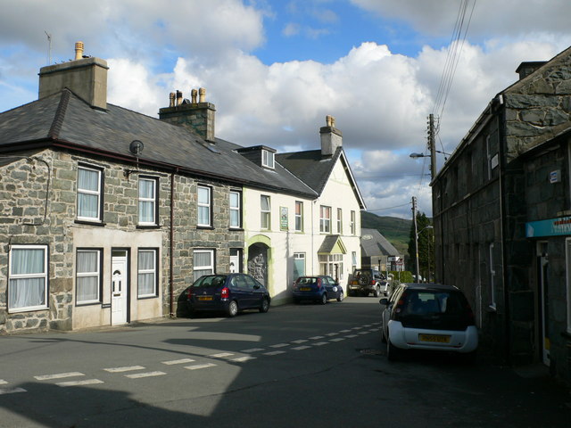
Trawsfynydd
Trawsfynydd (Welsh pronunciation: [trausˈvənɨ̞ð]; Welsh for "across [the] mountain") is a linear village in Gwynedd, Wales, near Llyn Trawsfynydd reservoir...

Trawsfynydd railway station
Trawsfynydd railway station served the village of Trawsfynydd, Gwynedd, Wales. == Origins == In 1882 the Bala and Ffestiniog Railway opened the line from...
Trawsfynydd Camp railway station
Trawsfynydd Camp railway station, sometimes referred to as Trawsfynydd Military station served the Trawsfynydd Artillery range at Bronaber, south of Trawsfynydd...
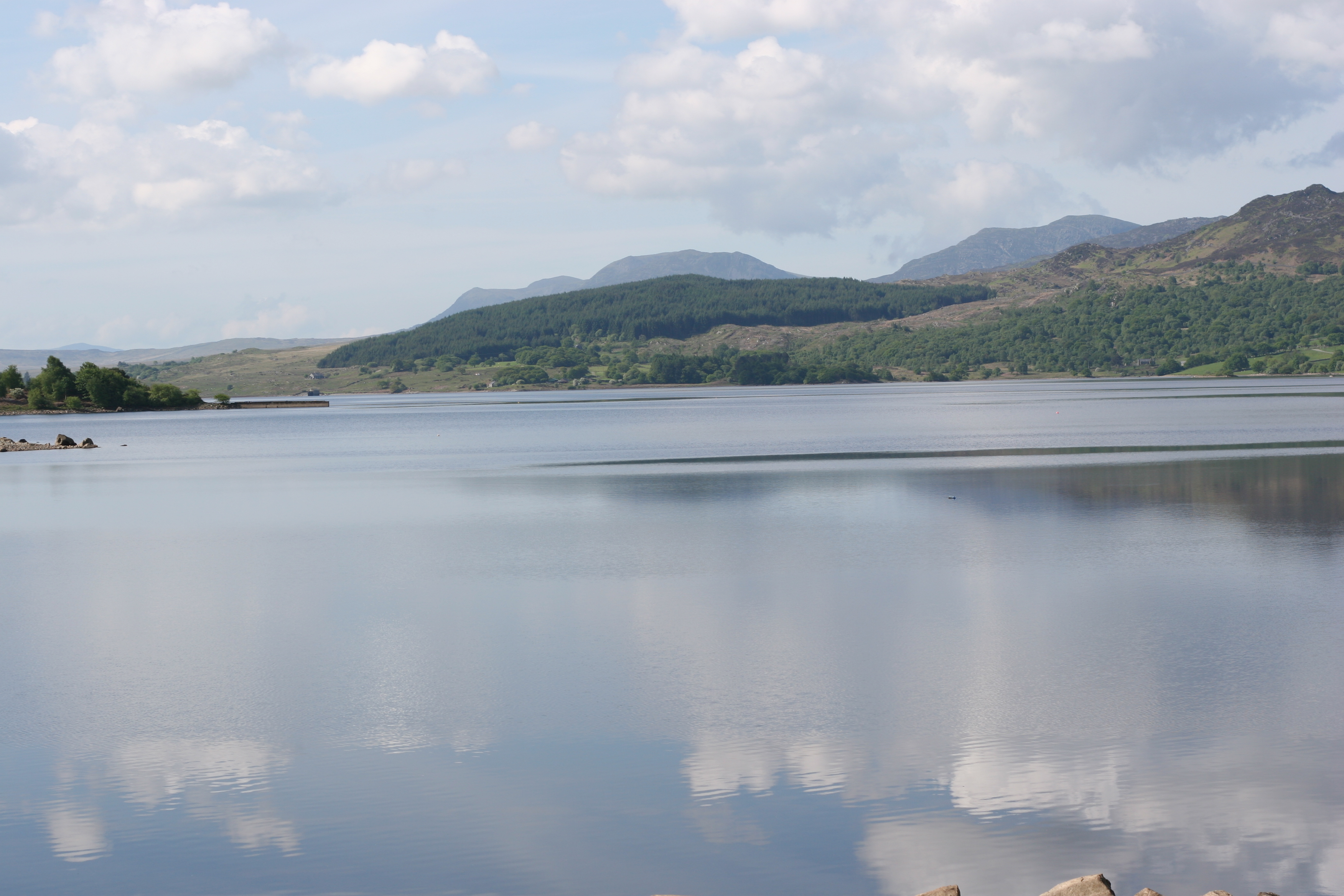
Llyn Trawsfynydd
Llyn Trawsfynydd is a large artificial reservoir situated near the village of Trawsfynydd in Gwynedd, North Wales. With a total surface area of 4.8 km2...
Nearby Amenities
Located within 500m of 52.902168,-3.923201Have you been to Trawsfynydd?
Leave your review of Trawsfynydd below (or comments, questions and feedback).