Top o' th' Lee

Settlement in Lancashire

England

Top o' th' Lee

A56, Peel Tower in the distance
A56, Peel Tower in the distance Credit: thejackrustles

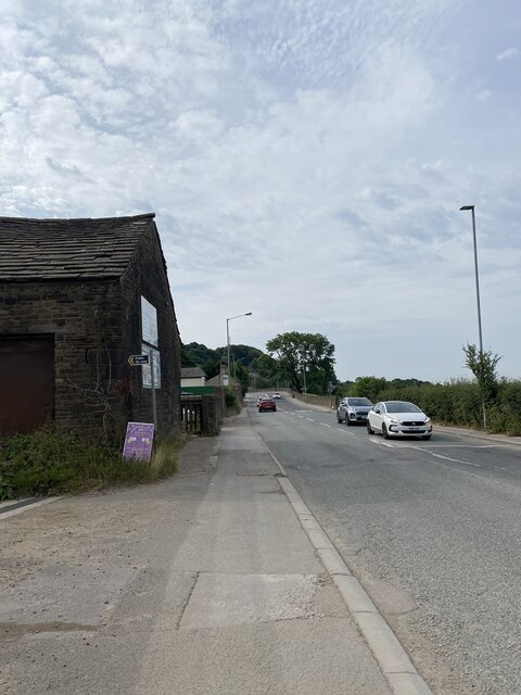
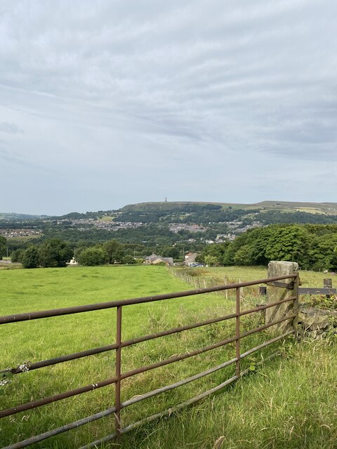
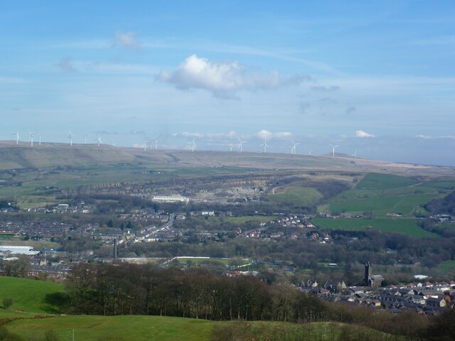
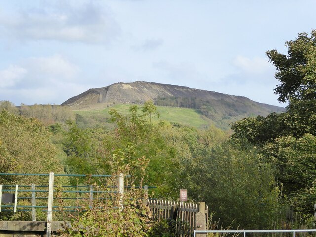
Top o' th' Lee is a small village located in Lancashire, England. It is situated in the beautiful countryside, surrounded by rolling hills and lush greenery. The village is known for its picturesque views and peaceful atmosphere, making it a popular destination for those looking to escape the hustle and bustle of city life.

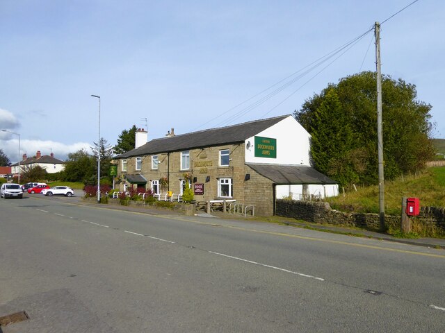
Top o' th' Lee is home to a close-knit community of residents who take pride in their village and its surroundings. The village has a few local amenities, including a small shop, a pub, and a village hall where community events are held.

The village is also well-connected to nearby towns and cities, with good transport links making it easy to travel to and from Top o' th' Lee. Visitors to the village can enjoy outdoor activities such as hiking, cycling, and horseback riding, as well as exploring the surrounding countryside.

Overall, Top o' th' Lee offers a peaceful and idyllic setting for those looking to experience the beauty of the Lancashire countryside.

If you have any feedback on the listing, please let us know in the comments section below.

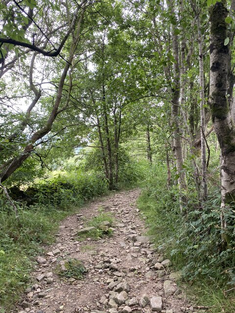
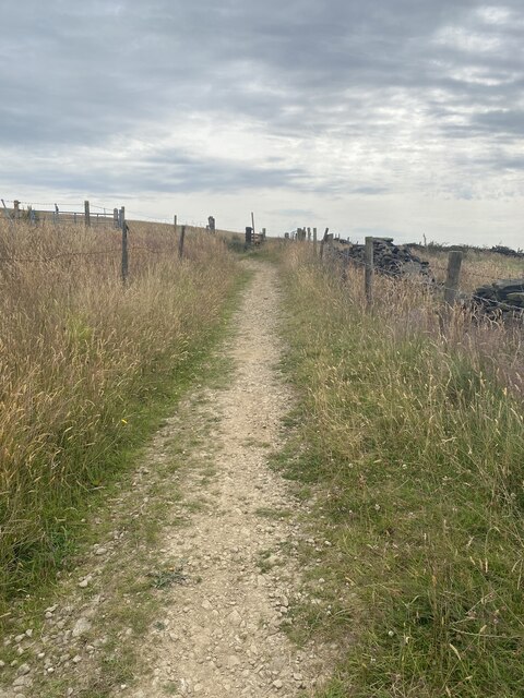
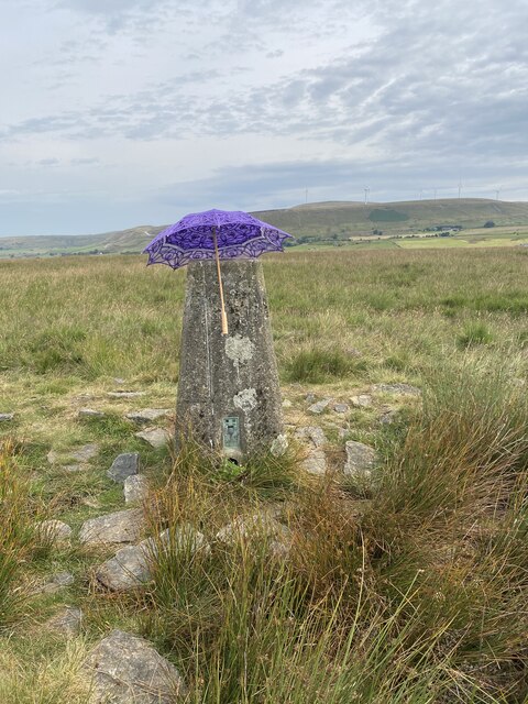
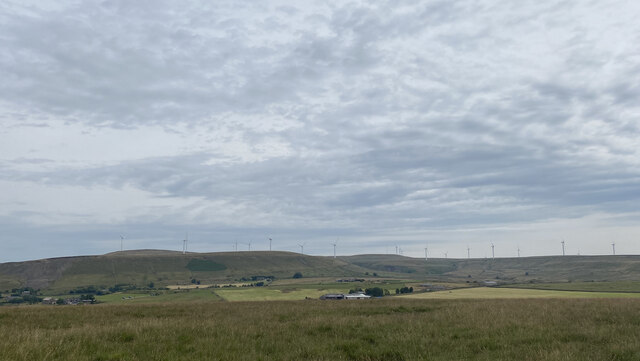
Top o' th' Lee Images

Images are sourced within 2km of 53.658104/-2.3041052 or Grid Reference SD8018. Thanks to Geograph Open Source API. All images are credited.

A56, Peel Tower in the distance
OS Cut Mark - Ramsbottom, Whitelow Road Right of Way <span class="nowrap"><a title="https://www.bench-marks.org.uk/bm94166" rel="nofollow ugc noopener" href="https://www.bench-marks.org.uk/bm94166">Link</a><img style="margin-left:2px;" alt="External link" title="External link - shift click to open in new window" src="https://s1.geograph.org.uk/img/external.png" width="10" height="10"/></span>
OS Cut Mark - Ramsbottom, Whitelow Road Right of Way
Location of OS Cut Mark - Ramsbottom, Whitelow Road Right of Way
Lovely views
Lovely views
Right of way to Harden Moor A bit bumpy for my liking
Right of way to Harden Moor
A bit bumpy for my liking
Right of way to Harden Moor
Harden Moor Trig Point Flush Bracket S4553 Even trig pillars need shade in this heat!
Harden Moor Trig Point Flush Bracket S4553
Even trig pillars need shade in this heat!
Views North East from Harden Moor
Cut Mark - Ramsbottom, Eagle and Child Public House <span class="nowrap"><a title="https://www.bench-marks.org.uk/bm49380" rel="nofollow ugc noopener" href="https://www.bench-marks.org.uk/bm49380">Link</a><img style="margin-left:2px;" alt="External link" title="External link - shift click to open in new window" src="https://s1.geograph.org.uk/img/external.png" width="10" height="10"/></span>
Cut Mark - Ramsbottom, Eagle and Child Public House
Location of Cut Mark - Ramsbottom, Eagle and Child Public House
Fletcher Bank Quarry above Ramsbottom View from Holcombe Hill on the path to Peel Tower. Scout Moor windfarm is on the skyline
Fletcher Bank Quarry above Ramsbottom
View from Holcombe Hill on the path to Peel Tower. Scout Moor windfarm is on the skyline
Quarry spoil heap An active quarry looming above the Irwell Valley
Quarry spoil heap
An active quarry looming above the Irwell Valley
Terrace housing On Whalley Road
Terrace housing
On Whalley Road
Duckworth Arms On Whalley Road between Shuttleworth and Edenfield
Duckworth Arms
On Whalley Road between Shuttleworth and Edenfield
Scout Barns On Scout Road with Scout Moor beyond
Scout Barns
On Scout Road with Scout Moor beyond
Mill yard For the businesses at Bridge Mills in Dearden Clough
Mill yard
For the businesses at Bridge Mills in Dearden Clough
WWII Lancashire: Ghost Signs of the Home Front  (20) -
Emergency Rendezvous Point, Rostron Road, Ramsbottom, at junction with Victoria Street

"ERP 438" looks remarkably fresh, most probably repainted.

Emergency Rendezvous Points (ERP) were designated places in the locality for the coordination of ARP and emergency services during civil emergencies, particularly for those services arriving from outside the area. The signs appear in a variety of designs, but most are diamond shapes framing the ERP locality number.

<a href="https://www.geograph.org.uk/photo/6945322">SD7816 : WWII Lancashire: Ghost Signs of the Home Front  (21)</a>
WWII Lancashire: Ghost Signs of the Home Front (20)
- Emergency Rendezvous Point, Rostron Road, Ramsbottom, at junction with Victoria Street "ERP 438" looks remarkably fresh, most probably repainted. Emergency Rendezvous Points (ERP) were designated places in the locality for the coordination of ARP and emergency services during civil emergencies, particularly for those services arriving from outside the area. The signs appear in a variety of designs, but most are diamond shapes framing the ERP locality number. SD7816 : WWII Lancashire: Ghost Signs of the Home Front (21)
Show me another place!

Top o' th' Lee is located at Grid Ref: SD8018 (Lat: 53.658104, Lng: -2.3041052)

Unitary Authority: Bury

Police Authority: Greater Manchester

What 3 Words

///occurs.lifetimes.gave. Near Edenfield, Lancashire

Nearby Locations

Top o' th' Lee

Related Wikis

Irwell Valley

The Irwell Valley in North West England extends from the Forest of Rossendale through the cities of Salford and Manchester. The River Irwell runs through...

Edenfield

Edenfield is a village within the Rossendale borough of Lancashire, England. Lying on the River Irwell, it is around 1.25 miles (2.0 km) north of Ramsbottom...

Stubbins

Stubbins is an industrial village in the southern part of the Rossendale Valley, Lancashire, England. It is half a mile north of Ramsbottom town centre...

Stubbins railway station

Stubbins railway station served the village of Stubbins, Rossendale, Lancashire, England. Opened by the East Lancashire Railway in 1847 on their line...

Nearby Amenities

Located within 500m of 53.658104,-2.3041052
Created By: YahooApplet 1.0
Lat/Long: 53.6609242/-2.3037505
Created By: YahooApplet 1.0
Lat/Long: 53.6605174/-2.3036754
Created By: YahooApplet 1.0
Lat/Long: 53.6600596/-2.3036218
Created By: YahooApplet 1.0
Lat/Long: 53.6592649/-2.3035896
Created By: YahooApplet 1.0
Lat/Long: 53.6571223/-2.3033857
Shuttleworth
Place: village
Source: npe
Wikidata: Q7505725
Lat/Long: 53.6540194/-2.3021444
Bus Stop
Whalley Road/Millhouse Street
Bus: yes
Naptan AtcoCode: 1800NC08621
Naptan Bearing: S
Naptan CommonName: Whalley Road/Millhouse Street
Naptan Indicator: Millhouse Opp
Naptan Landmark: MILLHOUSE OPP
Naptan NaptanCode: mandpdjt
Naptan PlusbusZoneRef: MNCRPIC
Naptan ShortCommonName: Millhouse Street
Naptan Street: WHALLEY ROAD
Naptan Verified: no
Network: TfGM
Public Transport: platform
Source: naptan_import
Lat/Long: 53.654582/-2.3035664
Bus Stop
Whalley Road/Duckworth Arms
Bus: yes
Naptan AtcoCode: 1800NC07461
Naptan Bearing: S
Naptan CommonName: Whalley Road/Duckworth Arms
Naptan Indicator: Duckworth Arms
Naptan Landmark: DUCKWORTH ARMS
Naptan NaptanCode: mandpdag
Naptan ShortCommonName: Duckworth Arms
Naptan Street: WHALLEY ROAD
Naptan Verified: no
Network: TfGM
Public Transport: platform
Source: naptan_import
Lat/Long: 53.6598944/-2.3034986
Bus Stop
Whalley Road/Duckworth Arms
Bus: yes
Naptan AtcoCode: 1800NC07471
Naptan Bearing: N
Naptan CommonName: Whalley Road/Duckworth Arms
Naptan Indicator: Opp House 400
Naptan Landmark: HOUSE 391
Naptan NaptanCode: mandpdaj
Naptan Notes: INDICATOR AMENDED
Naptan ShortCommonName: Duckworth Arms
Naptan Street: WHALLEY ROAD
Naptan Verified: no
Network: TfGM
Public Transport: platform
Source: naptan_import
Lat/Long: 53.6596243/-2.3036631
Bus Stop
Whalley Road/Church Road
Bus: yes
Naptan AtcoCode: 1800NC07481
Naptan Bearing: N
Naptan CommonName: Whalley Road/Church Road
Naptan Indicator: Nr House 329
Naptan Landmark: HOUSE 303
Naptan NaptanCode: mandpdam
Naptan ShortCommonName: Church Road
Naptan Street: WHALLEY ROAD
Naptan Verified: no
Network: TfGM
Public Transport: platform
Source: naptan_import
Lat/Long: 53.6583392/-2.303548
Bus Stop
Whalley Road/Church Road
Bench: no
Bus: yes
Covered: no
Naptan AtcoCode: 1800NC07491
Naptan Bearing: S
Naptan CommonName: Whalley Road/Church Road
Naptan Indicator: Nr Grass Land
Naptan Landmark: NR GRASS LAND
Naptan NaptanCode: mandpdap
Naptan ShortCommonName: Church Road
Naptan Street: WHALLEY ROAD
Naptan Verified: no
Network: TfGM
Public Transport: platform
Shelter: no
Source: naptan_import
Lat/Long: 53.6568051/-2.3033328
Bus Stop
Whalley Road/Millhouse Street
Bus: yes
Naptan AtcoCode: 1800NC07501
Naptan Bearing: N
Naptan CommonName: Whalley Road/Millhouse Street
Naptan Indicator: O/s House 237
Naptan Landmark: HOUSE 237
Naptan NaptanCode: mandpdat
Naptan ShortCommonName: Millhouse Street
Naptan Street: WHALLEY ROAD
Naptan Verified: no
Network: TfGM
Public Transport: platform
Source: naptan_import
Lat/Long: 53.655112/-2.3036912
The data included in this document is from www.openstreetmap.org. The data is made available under ODbL.

Have you been to Top o' th' Lee?

Leave your review of Top o' th' Lee below (or comments, questions and feedback).