Boston Manor
Settlement in Middlesex
England
Boston Manor
Boston Manor is a suburban area located in the London Borough of Hounslow, in the county of Middlesex, England. It is situated approximately 10 miles west of central London and is primarily known for its historical significance and residential character.
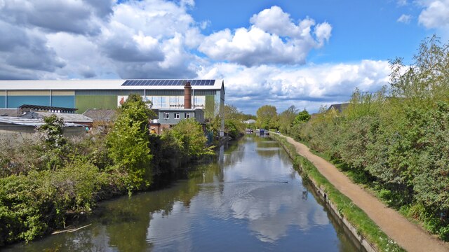
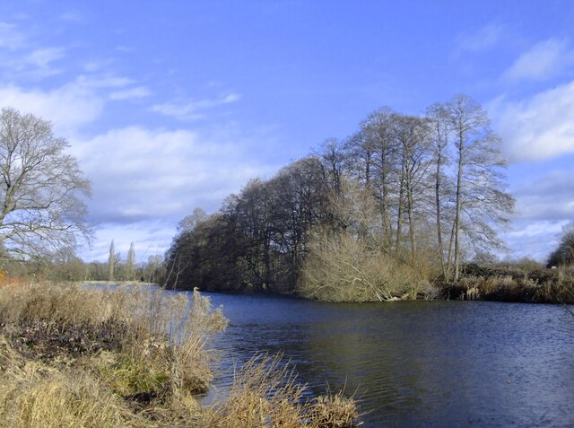
The area is named after Boston Manor House, a Jacobean manor house that dates back to the early 17th century. The house, which is now a museum, is set within a picturesque parkland that offers a tranquil escape from the bustling city. The park features beautiful gardens, a lake, and walking trails, making it a popular destination for locals and visitors alike.
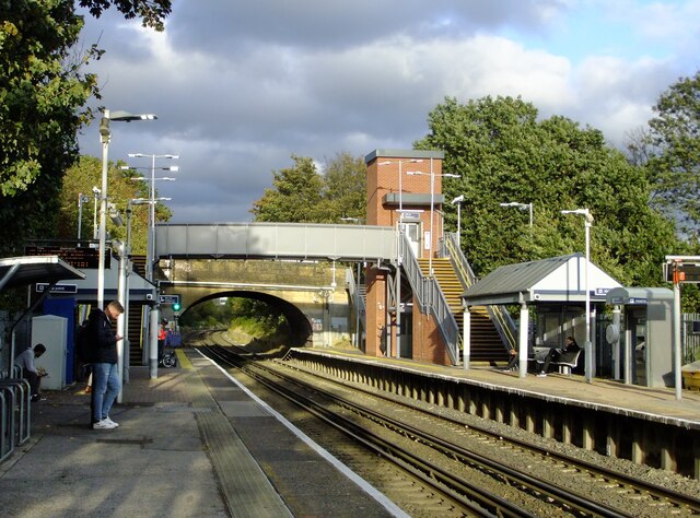
The residential area of Boston Manor predominantly comprises of Victorian and Edwardian terraced houses, along with some modern developments. Its proximity to Central London and excellent transport links, including Boston Manor Underground station on the Piccadilly Line, make it a desirable location for commuters.
Boston Manor also boasts a range of amenities and facilities. The area is home to several schools, both primary and secondary, as well as recreational spaces such as sports fields and playgrounds. Additionally, there are a variety of shops, restaurants, and pubs, providing residents with convenient access to everyday necessities and leisure activities.
Overall, Boston Manor offers a harmonious blend of historical charm and modern convenience, making it an attractive place to live for individuals and families seeking a peaceful suburban lifestyle within easy reach of London's vibrant city center.
If you have any feedback on the listing, please let us know in the comments section below.
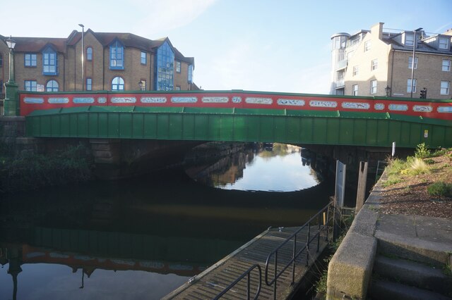
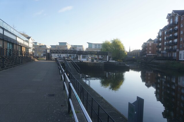
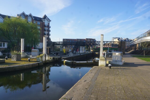
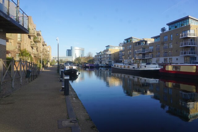
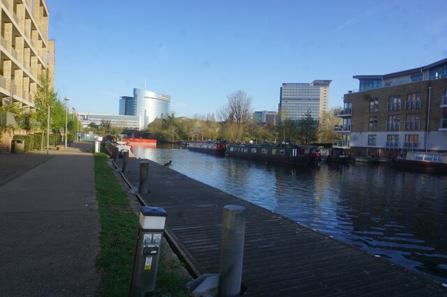
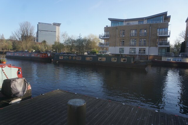
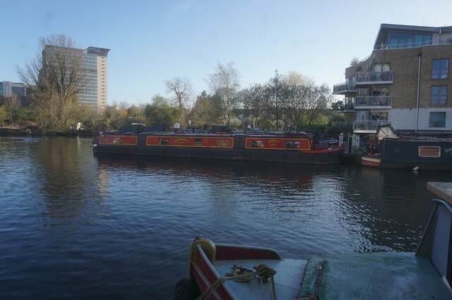
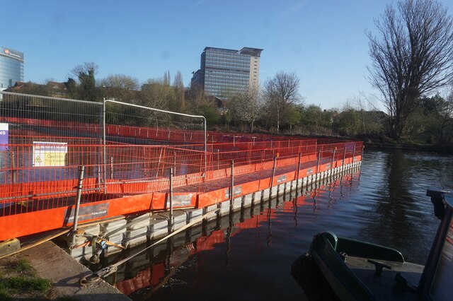
Boston Manor Images
Images are sourced within 2km of 51.491205/-0.318991 or Grid Reference TQ1678. Thanks to Geograph Open Source API. All images are credited.


Boston Manor is located at Grid Ref: TQ1678 (Lat: 51.491205, Lng: -0.318991)
Unitary Authority: Hounslow
Police Authority: Metropolitan
What 3 Words
///violin.tile.minus. Near Brentford, London
Nearby Locations
Related Wikis

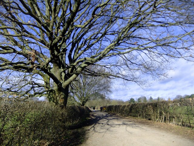
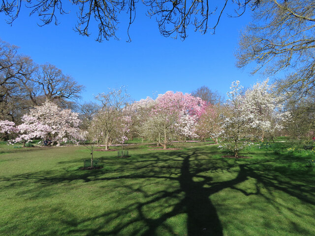
Boston Manor Park
Boston Manor Park is a large public park in the London Borough of Hounslow. A combination of woodland and open space, with an area adjoining the Grand...

Boston Manor House
Boston Manor House is an English Jacobean manor house built in 1622 with internal alterations, intensively restored in later centuries. It was the manor...

Gunnersbury Boys' School
Gunnersbury Boys' School is a Roman Catholic Secondary School for boys with specialist Science College status. It is situated in Brentford, London. The...

GSK plc
GSK plc (an acronym from its former name GlaxoSmithKline plc) is a British multinational pharmaceutical and biotechnology company with global headquarters...
Nearby Amenities
Located within 500m of 51.491205,-0.318991Have you been to Boston Manor?
Leave your review of Boston Manor below (or comments, questions and feedback).