Tolborough
Settlement in Cornwall
England
Tolborough

The requested URL returned error: 429 Too Many Requests
If you have any feedback on the listing, please let us know in the comments section below.
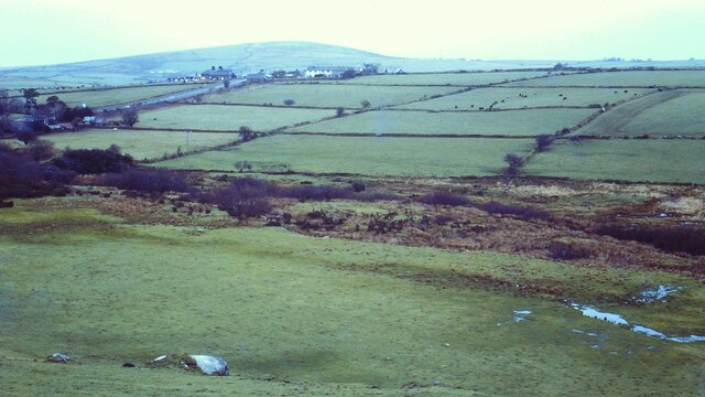
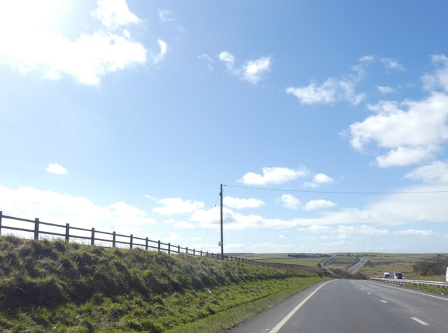
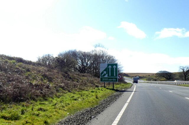
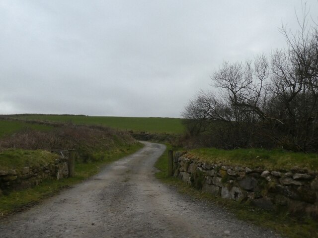
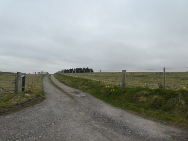
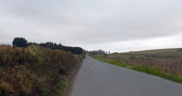
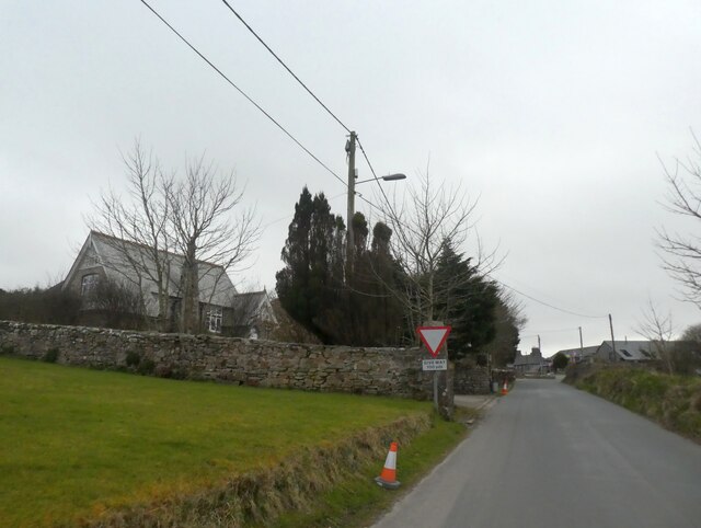
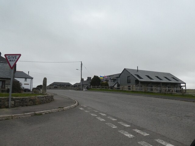
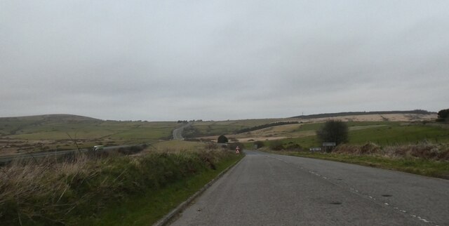
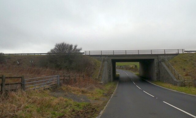
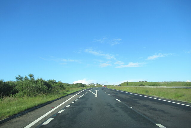
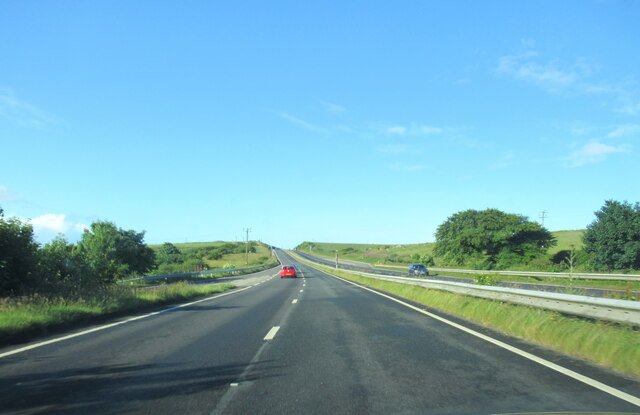
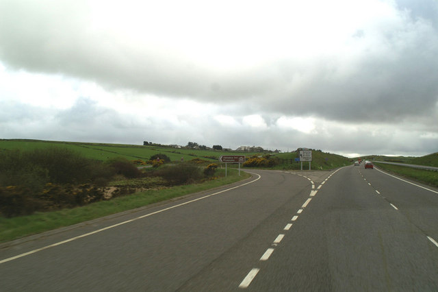
Tolborough Images
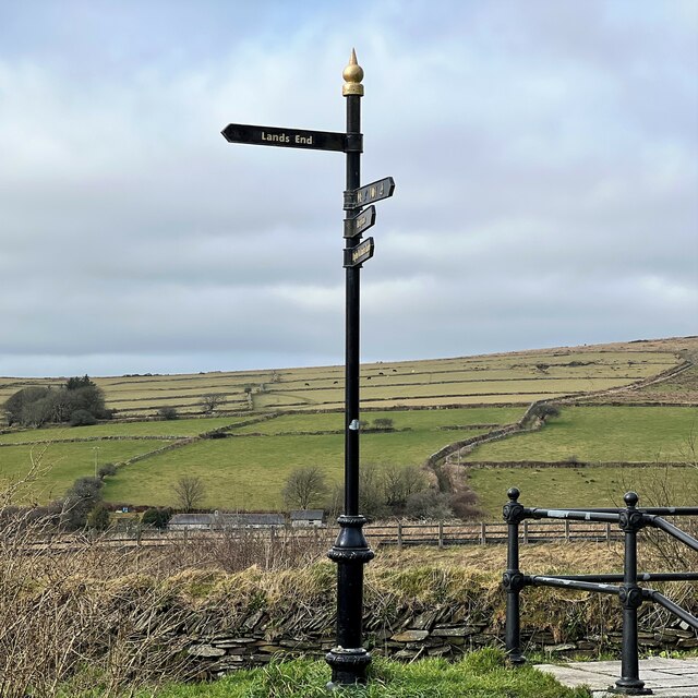
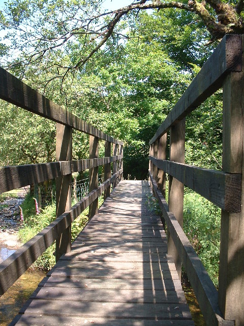
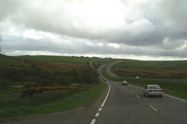
Images are sourced within 2km of 50.566329/-4.571783 or Grid Reference SX1777. Thanks to Geograph Open Source API. All images are credited.
Tolborough is located at Grid Ref: SX1777 (Lat: 50.566329, Lng: -4.571783)
Unitary Authority: Cornwall
Police Authority: Devon and Cornwall
What 3 Words
///fencing.slopes.hunt. Near Trewen, Cornwall
Nearby Locations
Related Wikis
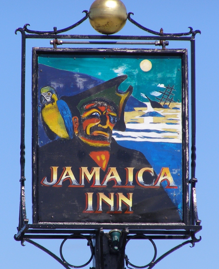
Jamaica Inn
The Jamaica Inn is a traditional inn on Bodmin Moor in Cornwall in the UK, which was built as a coaching inn in 1750, and has a historical association...

Bolventor
Bolventor (Cornish: Bedhasbold) is a hamlet on Bodmin Moor in Cornwall, England, United Kingdom. It is situated in Altarnun civil parish between Launceston...

Palmersbridge
Palmersbridge is a hamlet on the A30 main road northeast of Bolventor in Cornwall, England, UK. == References ==

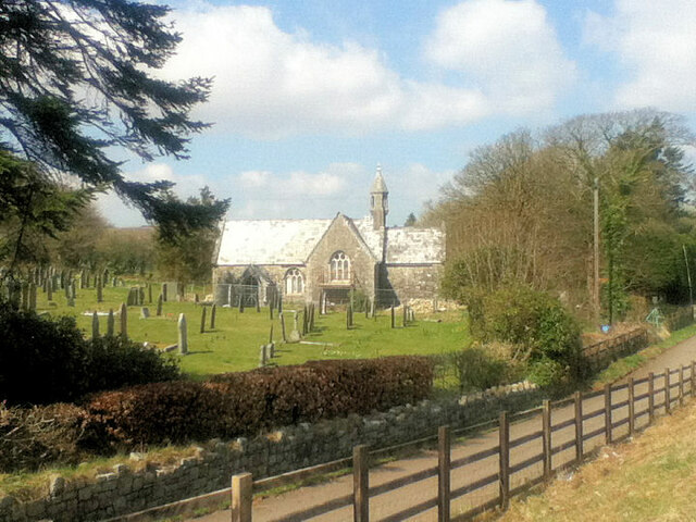
Holy Trinity Church, Bolventor
Holy Trinity Church is a former Church of England church in Bolventor, Cornwall, England, UK. It was built in 1846–48 and served as the parish church of...
Nearby Amenities
Located within 500m of 50.566329,-4.571783Have you been to Tolborough?
Leave your review of Tolborough below (or comments, questions and feedback).