Tirley

Settlement in Gloucestershire Tewkesbury

England

Tirley

Cereal crop near The Folly
Cereal crop near The Folly Credit: JThomas

The requested URL returned error: 429 Too Many Requests

If you have any feedback on the listing, please let us know in the comments section below.
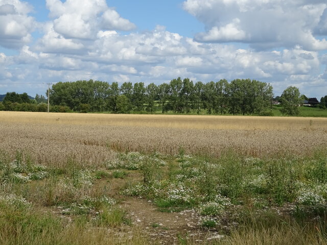
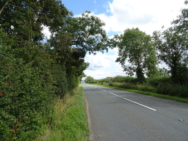
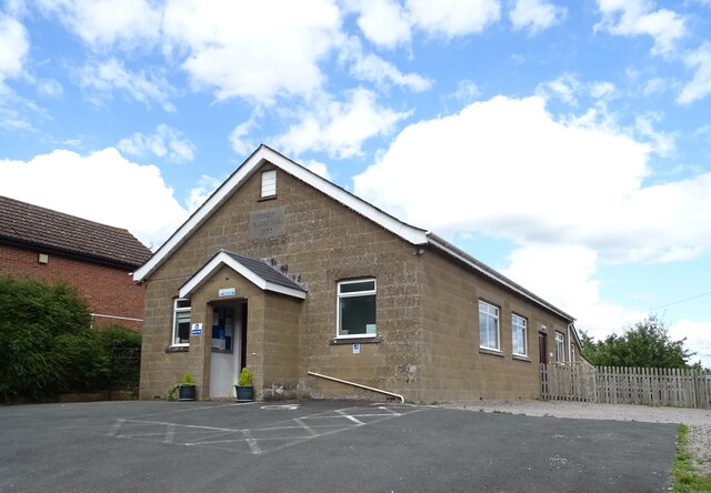
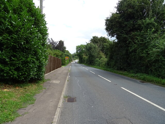
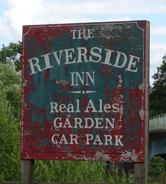
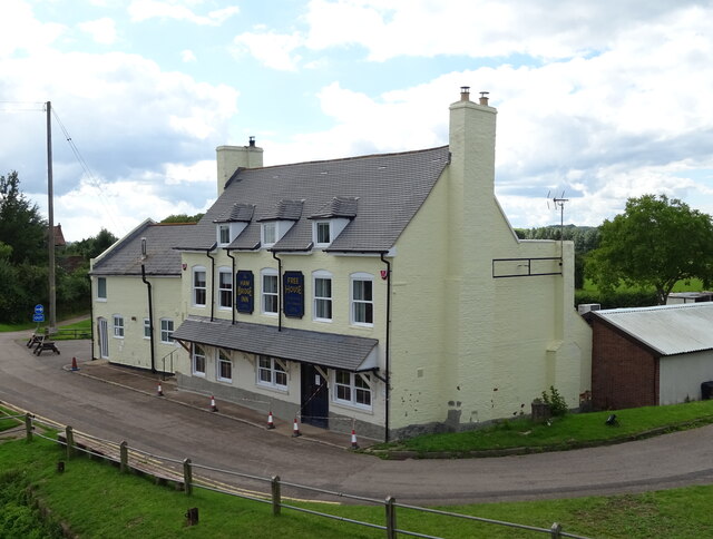
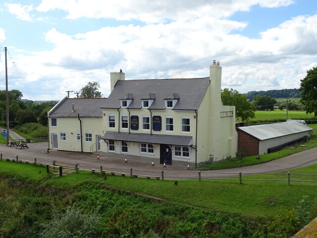
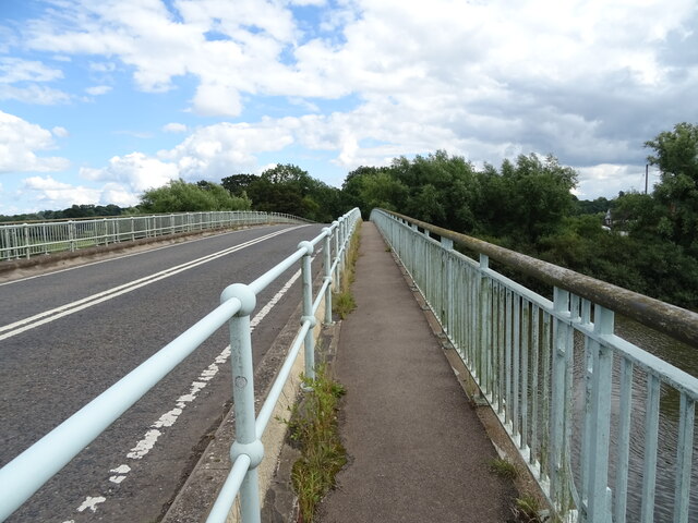
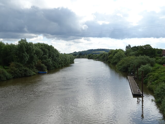
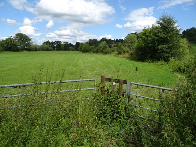
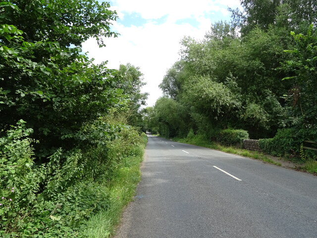
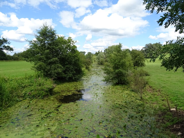
Tirley Images

Images are sourced within 2km of 51.955714/-2.2401158 or Grid Reference SO8328. Thanks to Geograph Open Source API. All images are credited.

Cereal crop near The Folly
B4213 towards Tirley
Track near Tirley Villa
Minor road towards Tirley Court
Tirley Village Hall
Tirley Village Hall
Tirley, B4213 Towards Lower Apperley.
Tirley, B4213
Towards Lower Apperley.
Grazing and trees near Tirley
B4213 towards Lower Apperley
Grazing towards drain near the River Severn
Old side for the Riverside Inn  The pub has now closed - see <a href="https://www.geograph.org.uk/photo/4976588">SO8427 : The Riverside Inn</a> for happier times.
Old side for the Riverside Inn
The pub has now closed - see SO8427 : The Riverside Inn for happier times.
The Haw Bridge Inn  From Haw Bridge.
The Haw Bridge Inn
From Haw Bridge.
The Haw Bridge Inn  From Haw Bridge.
The Haw Bridge Inn
From Haw Bridge.
On Haw Bridge Crossing the River Severn on the B4213.
On Haw Bridge
Crossing the River Severn on the B4213.
The River Severn View downstream from Haw Bridge.
The River Severn
View downstream from Haw Bridge.
Bridleway off the B4213
B4213 towards Lower Apperley
Handkerchief Pool A narrow pool on the flood plain.
Handkerchief Pool
A narrow pool on the flood plain.
George VI postbox, Haw Bridge Postbox No. GL19 321.

See <a href="https://www.geograph.org.uk/photo/6949191">SO8427 : Riverside Inn, Haw Bridge</a> for context.
George VI postbox, Haw Bridge
Postbox No. GL19 321. See SO8427 : Riverside Inn, Haw Bridge for context.
Show me another place!

Tirley is located at Grid Ref: SO8328 (Lat: 51.955714, Lng: -2.2401158)

Administrative County: Gloucestershire

District: Tewkesbury

Police Authority: Gloucestershire

What 3 Words

///even.snippets.mattress. Near Corse, Gloucestershire

Nearby Locations

Tirley Tirley

Related Wikis

Tirley

Tirley is a village and civil parish in Gloucestershire, England. It is located in the Borough of Tewkesbury district, 4 mi (6 km) south-west of Tewkesbury...

South Wales Gas Pipeline

The South Wales Gas Pipeline (also known as the Milford Haven pipeline) is the UK's largest high-pressure gas pipeline. The 197-mile (317 km) pipeline...

Hasfield Court

Hasfield Court is a Grade II* listed building in Hasfield, Gloucestershire, England. Hasfield Court was the site of a medieval manor house, the home of...

Hasfield

Hasfield is a civil parish in Gloucestershire, England, and lies six miles (9.7 km) south-west of Tewkesbury and seven miles (11 km) north of Gloucester...

Nearby Amenities

Located within 500m of 51.955714,-2.2401158
Tirley
Is In: Gloucestershire, England, UK
Place: village
Source: NPE
Lat/Long: 51.9546112/-2.2368911
Bus Stop
Hasfield Crossroads
Bus: yes
Naptan AtcoCode: 1600GL4805
Naptan Bearing: SE
Naptan CommonName: Hasfield Crossroads
Naptan Indicator: after
Naptan NaptanCode: glodamdg
Naptan Street: B4213
Naptan Verified: no
Public Transport: platform
Source: naptan_import
Lat/Long: 51.9532404/-2.2357278
Bus Stop
Hasfield Crossroads
Bus: yes
Naptan AtcoCode: 1600GL4806
Naptan Bearing: NW
Naptan CommonName: Hasfield Crossroads
Naptan Indicator: before
Naptan NaptanCode: glodamda
Naptan Street: B4213
Naptan Verified: no
Public Transport: platform
Source: naptan_import
Lat/Long: 51.9531754/-2.2357986
Bus Stop
Josend Crescent
Bus: yes
Naptan AtcoCode: 1600GL4807
Naptan Bearing: SE
Naptan CommonName: Josend Crescent
Naptan Indicator: after
Naptan NaptanCode: glodadmg
Naptan Street: B4213
Naptan Verified: no
Public Transport: platform
Source: naptan_import
Lat/Long: 51.9574744/-2.2435109
Bus Stop
Josend Crescent
Bus: yes
Naptan AtcoCode: 1600GL4808
Naptan Bearing: NW
Naptan CommonName: Josend Crescent
Naptan Indicator: before
Naptan NaptanCode: glodadjt
Naptan Street: B4213
Naptan Verified: no
Public Transport: platform
Source: naptan_import
Lat/Long: 51.9574562/-2.2436563
Post Box
Post Box Type: lamp
Ref: GL19 322
Royal Cypher: EIIR
Royal Cypher Wikidata: Q33102113
Lat/Long: 51.9578934/-2.244029
Power: pole
Lat/Long: 51.9543122/-2.2463608
Red Castle
Power: pole
Transformer: distribution
Voltage Primary: 11000
Lat/Long: 51.9533923/-2.2430241
Power: pole
Lat/Long: 51.9537725/-2.2437483
Power: pole
Lat/Long: 51.9542296/-2.2446254
Power: pole
Lat/Long: 51.9546734/-2.2454857
Power: pole
Lat/Long: 51.9550391/-2.2445932
Power: pole
Lat/Long: 51.9555834/-2.2432722
Location Transition: yes
Power: pole
Lat/Long: 51.9561156/-2.242253
Power: pole
Lat/Long: 51.9564272/-2.241675
Tirley West
Power: pole
Transformer: distribution
Voltage Primary: 11000
Lat/Long: 51.9575648/-2.2429986
Power: pole
Lat/Long: 51.9571392/-2.2419841
Power: pole
Lat/Long: 51.9567466/-2.241056
Power: pole
Lat/Long: 51.9574933/-2.2394273
Power: pole
Lat/Long: 51.9583887/-2.2375235
Power: pole
Lat/Long: 51.9593755/-2.2366163
Power: pole
Lat/Long: 51.9541614/-2.2338704
Power: pole
Lat/Long: 51.9546449/-2.2348119
Power: pole
Lat/Long: 51.9550061/-2.2353335
Power: pole
Lat/Long: 51.9553007/-2.2356856
Tirley East
Power: pole
Transformer: distribution
Voltage Primary: 11000
Lat/Long: 51.956257/-2.2341339
Power: pole
Lat/Long: 51.9559644/-2.2349708
Power: pole
Lat/Long: 51.9557916/-2.2354925
Power: pole
Lat/Long: 51.9556016/-2.2360396
Power: pole
Lat/Long: 51.9558974/-2.2363816
Tirley
Power: pole
Transformer: distribution
Voltage Primary: 11000
Lat/Long: 51.9563074/-2.2364849
Power: pole
Lat/Long: 51.9567586/-2.2365721
Power: pole
Lat/Long: 51.9573958/-2.2366659
Power: pole
Lat/Long: 51.9582454/-2.2363843
Power: pole
Lat/Long: 51.9590487/-2.2360852
Tirley Bank
Location Transition: yes
Power: pole
Transformer: distribution
Voltage Primary: 11000
Lat/Long: 51.9548833/-2.2390263
The data included in this document is from www.openstreetmap.org. The data is made available under ODbL.

Have you been to Tirley?

Leave your review of Tirley below (or comments, questions and feedback).