Tipper's Hill

Settlement in Warwickshire North Warwickshire

England

Tipper's Hill

Catholic church of St Joseph, New Arley The church stands at the western end of the former mining village, an area known as Gun Hill or Spring Hill. It was built in 1996 to designs by John D Holmes. It replaced a nearby timber church of the 1920s. See the Taking Stock site, which describes the new church as 'flexible in character and modest in architectural aspiration.' <span class="nowrap"><a title="https://taking-stock.org.uk/building/arley-st-joseph/" rel="nofollow ugc noopener" href="https://taking-stock.org.uk/building/arley-st-joseph/">Link</a><img style="margin-left:2px;" alt="External link" title="External link - shift click to open in new window" src="https://s1.geograph.org.uk/img/external.png" width="10" height="10"/></span>
Catholic church of St Joseph, New Arley Credit: A J Paxton

Tipper's Hill is a small village located in the county of Warwickshire, England. Situated approximately 10 miles southeast of the county town of Warwick, Tipper's Hill is nestled in the picturesque countryside of the region. The village is known for its idyllic rural setting, offering residents and visitors a peaceful and tranquil environment.

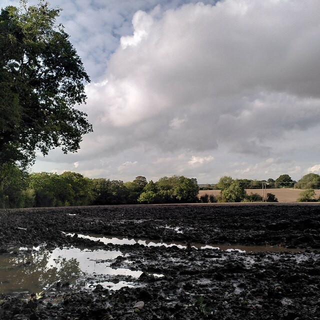
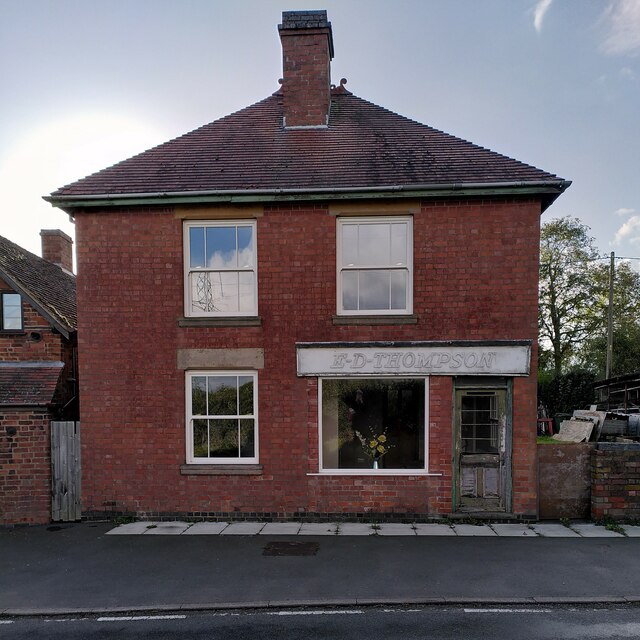
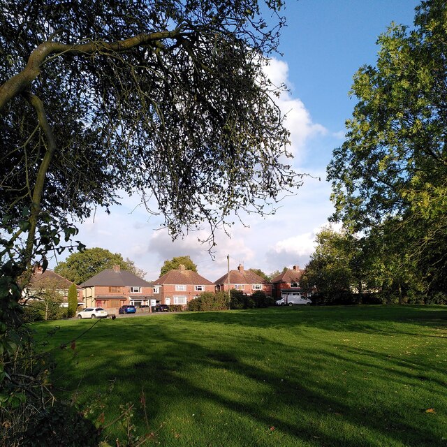
The village itself is characterized by its charming cottages and traditional architecture, giving it a quaint and timeless feel. The surrounding landscape is dominated by rolling hills and lush green fields, providing ample opportunities for outdoor activities such as walking, hiking, and cycling.

Despite its small size, Tipper's Hill boasts a strong sense of community, with various local events and gatherings taking place throughout the year. The village pub, a popular meeting point for locals and visitors alike, serves as a hub for socializing and enjoying traditional English cuisine.

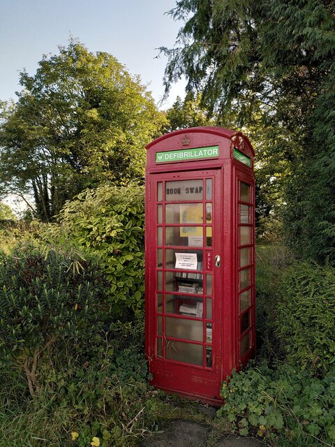
In terms of amenities, Tipper's Hill offers a range of facilities to cater to the needs of its residents. These include a primary school, a village hall, and a small convenience store, ensuring that essentials are easily accessible to those living in the area.

For those seeking a peaceful retreat away from the hustle and bustle of city life, Tipper's Hill offers a charming countryside escape. With its stunning natural surroundings and close-knit community, it is a place where one can truly unwind and enjoy the beauty of rural Warwickshire.

If you have any feedback on the listing, please let us know in the comments section below.

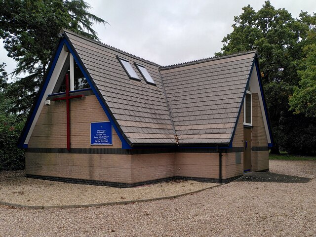
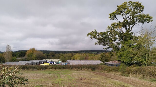
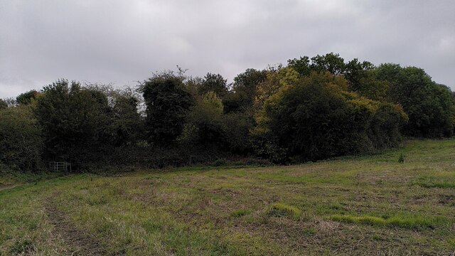
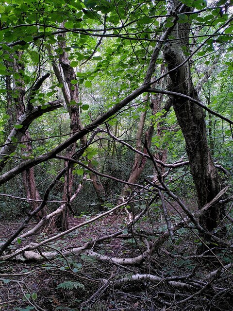
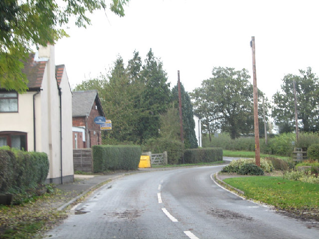
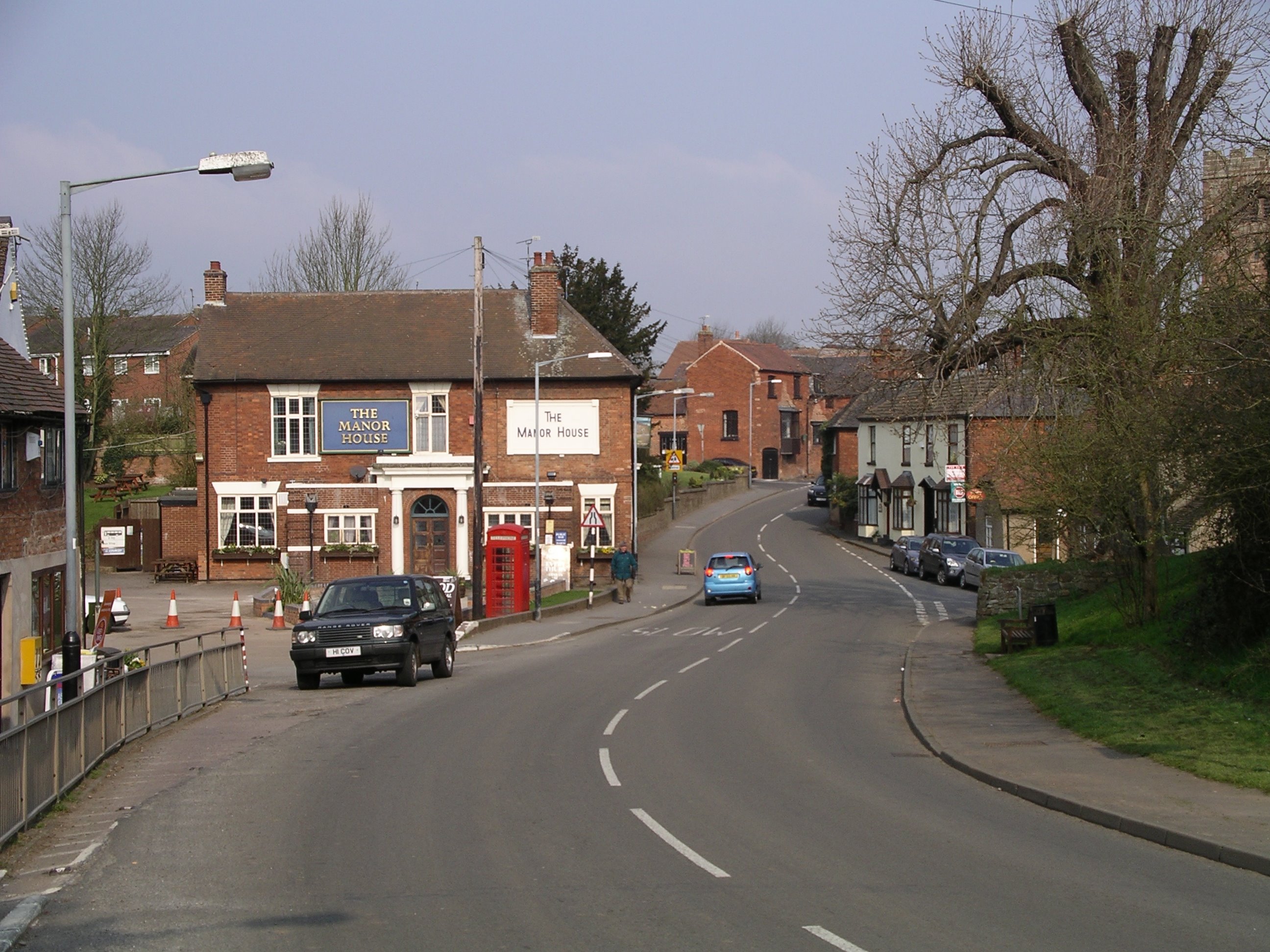
Tipper's Hill Images

Images are sourced within 2km of 52.489201/-1.5890673 or Grid Reference SP2888. Thanks to Geograph Open Source API. All images are credited.

Catholic church of St Joseph, New Arley The church stands at the western end of the former mining village, an area known as Gun Hill or Spring Hill. It was built in 1996 to designs by John D Holmes. It replaced a nearby timber church of the 1920s. See the Taking Stock site, which describes the new church as 'flexible in character and modest in architectural aspiration.' <span class="nowrap"><a title="https://taking-stock.org.uk/building/arley-st-joseph/" rel="nofollow ugc noopener" href="https://taking-stock.org.uk/building/arley-st-joseph/">Link</a><img style="margin-left:2px;" alt="External link" title="External link - shift click to open in new window" src="https://s1.geograph.org.uk/img/external.png" width="10" height="10"/></span>
Catholic church of St Joseph, New Arley
The church stands at the western end of the former mining village, an area known as Gun Hill or Spring Hill. It was built in 1996 to designs by John D Holmes. It replaced a nearby timber church of the 1920s. See the Taking Stock site, which describes the new church as 'flexible in character and modest in architectural aspiration.' LinkExternal link
Arley industrial estate and Arley Wood The industrial units are viewed from the path from Spring Hill to Daffern's Wood; they occupy the site of Arley Colliery, which closed in 1968. Arley Wood blankets the horizon. This ancient woodland was replanted with conifers in the 1960s, apparently to provide pit props for the mine; see <a href="https://www.geograph.org.uk/photo/7630660">SP2891 : A young oak tree among the conifers, Arley Wood</a>.
Arley industrial estate and Arley Wood
The industrial units are viewed from the path from Spring Hill to Daffern's Wood; they occupy the site of Arley Colliery, which closed in 1968. Arley Wood blankets the horizon. This ancient woodland was replanted with conifers in the 1960s, apparently to provide pit props for the mine; see SP2891 : A young oak tree among the conifers, Arley Wood.
Daffern's Wood, New Arley Situated on the western edge of New Arley, Daffern's Wood is roughly triangular in shape and about three hectares in extent. According to the Warwickshire Wildlife Trust it is an ancient semi-natural wood which has been documented back to around 1600. It is a Local Nature Reserve. <span class="nowrap"><a title="https://www.warwickshirewildlifetrust.org.uk/DaffernsWood" rel="nofollow ugc noopener" href="https://www.warwickshirewildlifetrust.org.uk/DaffernsWood">Link</a><img style="margin-left:2px;" alt="External link" title="External link - shift click to open in new window" src="https://s1.geograph.org.uk/img/external.png" width="10" height="10"/></span>. A public footpath passes below the wood, which can be entered from the stile visible at the left of the picture.
Daffern's Wood, New Arley
Situated on the western edge of New Arley, Daffern's Wood is roughly triangular in shape and about three hectares in extent. According to the Warwickshire Wildlife Trust it is an ancient semi-natural wood which has been documented back to around 1600. It is a Local Nature Reserve. LinkExternal link. A public footpath passes below the wood, which can be entered from the stile visible at the left of the picture.
Birch and hazel in Daffern's Wood For more information on this Local Nature Reserve see <a href="https://www.geograph.org.uk/photo/7635597">SP2889 : Daffern's Wood, New Arley</a>.
Birch and hazel in Daffern's Wood
For more information on this Local Nature Reserve see SP2889 : Daffern's Wood, New Arley.
Lost in a muddy field, Wood End Well, I knew where I was on the map, but had lost the footpath. North Warwickshire has some good walking country, but signposting is often poor. The path had crossed a ditch and a field boundary without warning.
Lost in a muddy field, Wood End
Well, I knew where I was on the map, but had lost the footpath. North Warwickshire has some good walking country, but signposting is often poor. The path had crossed a ditch and a field boundary without warning.
Field path, Wood End At last, a signpost, though the sign itself was broken and faded.
Field path, Wood End
At last, a signpost, though the sign itself was broken and faded.
E D Thompson, Wood End Lane A former village store awaits a new use - probably housing, like the converted chapel nearby.
E D Thompson, Wood End Lane
A former village store awaits a new use - probably housing, like the converted chapel nearby.
A crescent of semis, Sandy Lane, Fillongley It looks odd on the map and even odder when you visit: a suburban crescent of semi-detached houses, complete with green, built on a country lane, far from any town or its suburbs. The plain style of the semis suggests they were built as council housing. The western part of the green, to the left of this photo, has been enclosed to form some rather messy gardens. Fillongley is a parish of scattered settlements, typical of the 'ancient countryside' of Arden; Sandy Lane runs between the settlement grouped around Fillongley parish church and the hamlet of Wood End, to the east.
A crescent of semis, Sandy Lane, Fillongley
It looks odd on the map and even odder when you visit: a suburban crescent of semi-detached houses, complete with green, built on a country lane, far from any town or its suburbs. The plain style of the semis suggests they were built as council housing. The western part of the green, to the left of this photo, has been enclosed to form some rather messy gardens. Fillongley is a parish of scattered settlements, typical of the 'ancient countryside' of Arden; Sandy Lane runs between the settlement grouped around Fillongley parish church and the hamlet of Wood End, to the east.
Former telephone box, Sandy Lane, Fillongley Though still marked as a rural telephone box by the Ordnance Survey, it now houses a defibrillator and a book swap.
Former telephone box, Sandy Lane, Fillongley
Though still marked as a rural telephone box by the Ordnance Survey, it now houses a defibrillator and a book swap.
A Tuesday evening at the Jampot A grainy shot taken on the way home from work of the Jampot (Working Men's Club) on Spring Hill, New Arley.
A Tuesday evening at the Jampot
A grainy shot taken on the way home from work of the Jampot (Working Men's Club) on Spring Hill, New Arley.
Old bangers at Arley's best garage! This wonderful workshop restores vintage cars and vans.
Old bangers at Arley's best garage!
This wonderful workshop restores vintage cars and vans.
Wood End Lane, many a slipped wheel between road and garden. Wood End Lane joins Arley with the rest of civilisation but becomes a death trap with the smallest sprinkling of ice.  3 years ago my Rover 216 went for a trip into the garden on the right...later joined by 2 other cars on the same day.  The council however do not deem this road important enough to grit?!
The building on the left has been for sale since I moved to Arley 5 years ago! Good Luck!
Wood End Lane, many a slipped wheel between road and garden.
Wood End Lane joins Arley with the rest of civilisation but becomes a death trap with the smallest sprinkling of ice. 3 years ago my Rover 216 went for a trip into the garden on the right...later joined by 2 other cars on the same day. The council however do not deem this road important enough to grit?! The building on the left has been for sale since I moved to Arley 5 years ago! Good Luck!
Glebe Farm and pheasants An early morning shot of Glebe Farm just off Park Lane, between Astley and Fillongley, with a couple of sprightly pheasants just in the photo top right.
Glebe Farm and pheasants
An early morning shot of Glebe Farm just off Park Lane, between Astley and Fillongley, with a couple of sprightly pheasants just in the photo top right.
Tippers Hill Lane, land of the rich One of the more affordable houses on Tippers Hill Lane just outside of Arley. The story is of the man who brought Daweoo into the UK has a house here and he gave a young lad a house nearby as a present for doing odd jobs for him for years.
Tippers Hill Lane, land of the rich
One of the more affordable houses on Tippers Hill Lane just outside of Arley. The story is of the man who brought Daweoo into the UK has a house here and he gave a young lad a house nearby as a present for doing odd jobs for him for years.
Fillongley village and The Manor House A view into Fillongley village.  Fillongley is the site of 3 castles, unfortunately you need a map and luck to find the lumps in the grass that are all that's left.  Fillongley used to host moto-cross events in which, unless I'm very much mistaken, the great Murray Walker used to race!!
Fillongley village and The Manor House
A view into Fillongley village. Fillongley is the site of 3 castles, unfortunately you need a map and luck to find the lumps in the grass that are all that's left. Fillongley used to host moto-cross events in which, unless I'm very much mistaken, the great Murray Walker used to race!!
Manor House Farm From the end of Pump Lane.
Manor House Farm
From the end of Pump Lane.
Home Farm and Fillongley Mount Looking east along the road from Manor House Farm.
Home Farm and Fillongley Mount
Looking east along the road from Manor House Farm.
Pump Lane The top of Pump Lane from Manor House Farm.
Pump Lane
The top of Pump Lane from Manor House Farm.
Show me another place!

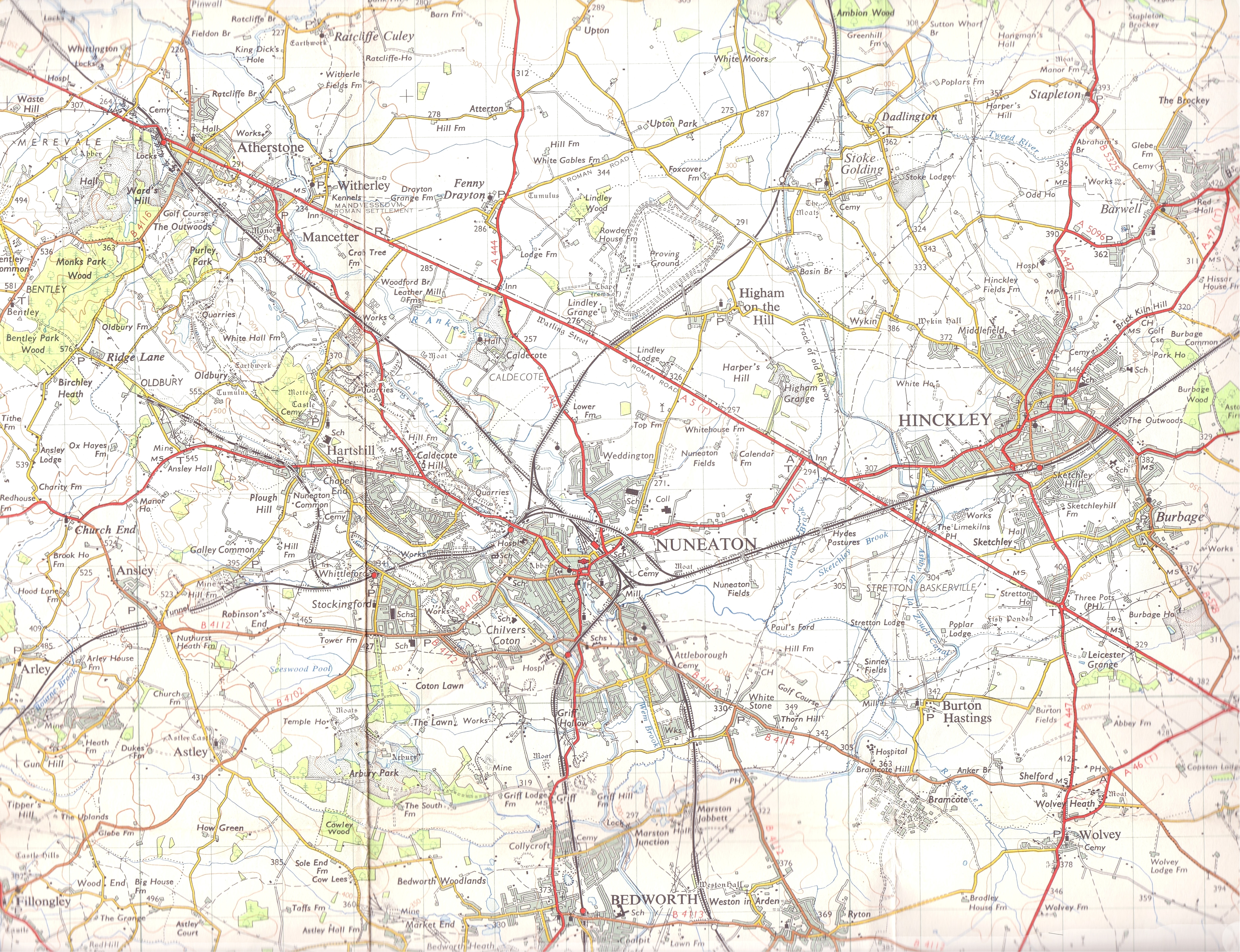
Tipper's Hill is located at Grid Ref: SP2888 (Lat: 52.489201, Lng: -1.5890673)

Administrative County: Warwickshire

District: North Warwickshire

Police Authority: Warwickshire

What 3 Words

///cherry.sock.cover. Near Keresley, West Midlands

Related Wikis

Fillongley

Fillongley, listed as Fillungeleye in 1135, is a village and civil parish in the North Warwickshire district of Warwickshire in England. The village is...

Arley and Fillongley railway station

Arley and Fillongley railway station was a station on the Midland Railway, which operated in the Midland county of Warwickshire, in England. == History... ==

Fillongley Castle

Fillongley Castle was a motte and bailey castle and later a fortified manor house in Fillongley in Warwickshire, England. Today, only earthworks and partial...

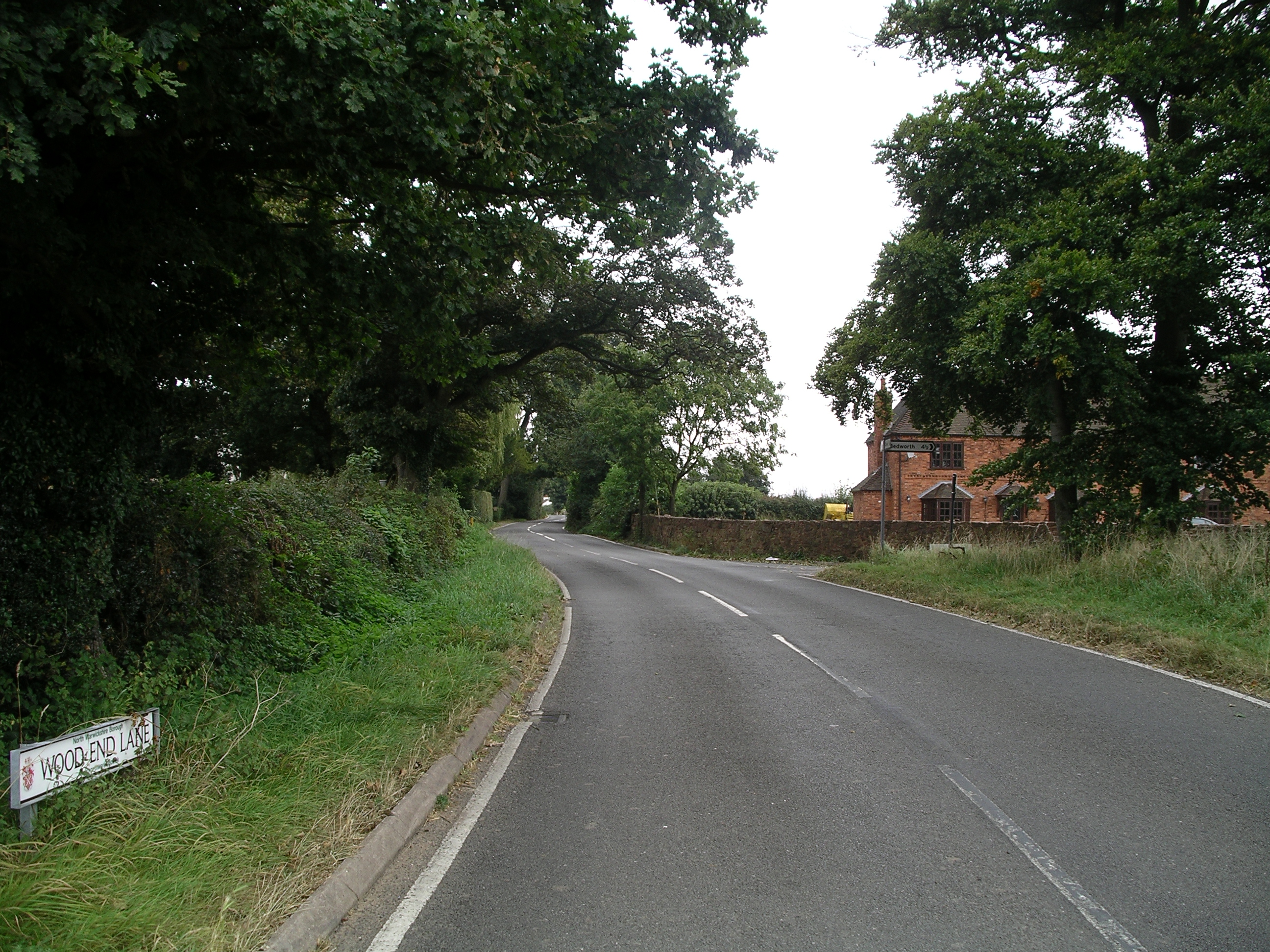
Wood End, Fillongley

Wood End, is a small village in Warwickshire, England. It is situated north of Coventry. The village is part of the civil parish of Fillongley. There is...

Ballard's Green

Ballard's Green is a village in Warwickshire, England. Population details may be found under Over Whitacre.

Old Arley

Old Arley is a village in the civil parish of Arley, in the north of Warwickshire, England, 5.5 miles (8.9 km) west of Nuneaton and 10 miles (16 km) north...

Arley, Warwickshire

Arley is a civil parish in the North Warwickshire district of Warwickshire, England. The parish includes two settlements, New Arley and Old Arley. Old...
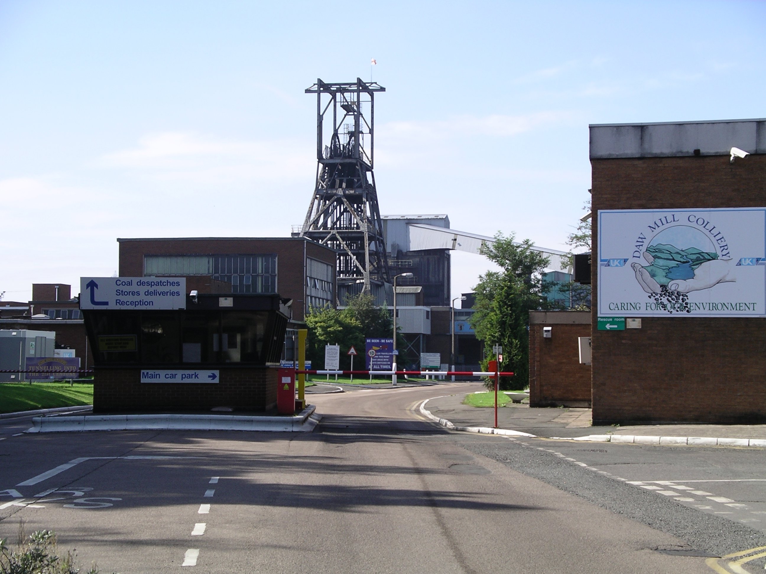
Daw Mill

Daw Mill was a coal mine located near the village of Arley, near Nuneaton, in the English county of Warwickshire. The mine was Britain's biggest coal producer...

Nearby Amenities

Located within 500m of 52.489201,-1.5890673
Power: tower
Source: OS 1:25k
Lat/Long: 52.492486/-1.5905175
Barrier: stile
Lat/Long: 52.4889673/-1.5829996
Power: tower
Lat/Long: 52.4917524/-1.5851595
Barrier: stile
Bicycle: yes
Foot: yes
Horse: yes
Lat/Long: 52.4899889/-1.5933468
The data included in this document is from www.openstreetmap.org. The data is made available under ODbL.

Have you been to Tipper's Hill?

Leave your review of Tipper's Hill below (or comments, questions and feedback).