Àird Mhìghe

Settlement in Inverness-shire

Scotland

Àird Mhìghe

Rocky landscape Much of the Harris landscape consists of exposed bedrock. This view is over a minor road from Aird Mhighe towards the main road, the A859.
Rocky landscape Credit: Richard Dorrell

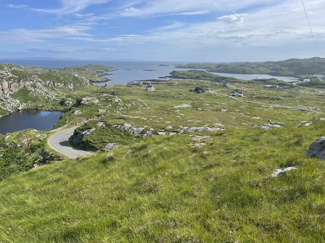
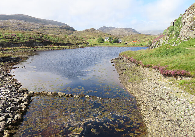
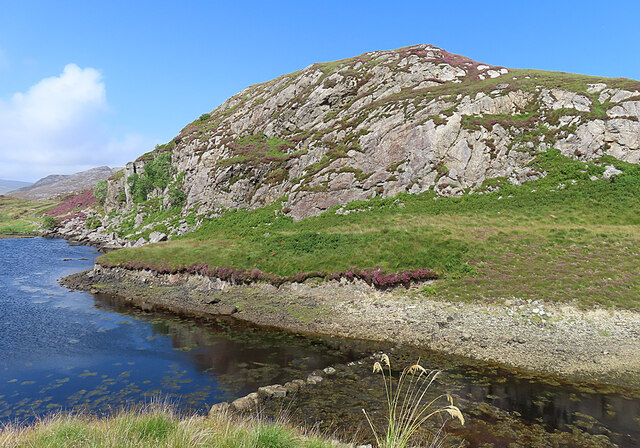
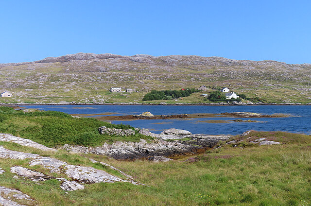
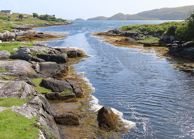
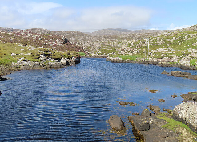
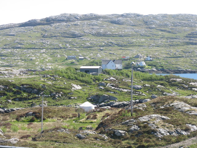
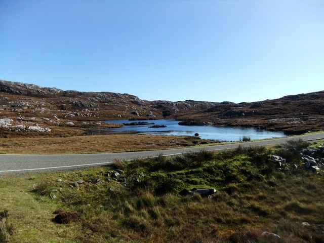
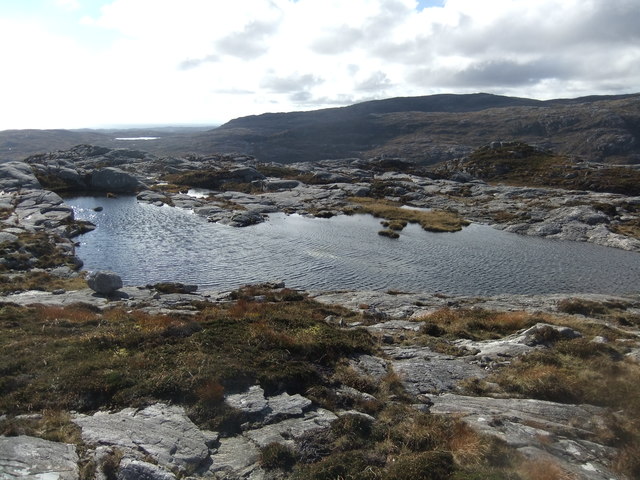
Àird Mhìghe is a small village located in the rural area of Inverness-shire, Scotland. Situated near the western shore of Loch Ness, the village offers stunning views of the surrounding countryside and the iconic Loch Ness itself. The landscape is characterized by rolling hills, lush greenery, and the occasional cluster of trees.

The village of Àird Mhìghe is home to a tight-knit community of residents who take pride in their picturesque surroundings and traditional way of life. The local economy is primarily driven by agriculture, with many residents working in farming or related industries. There are also a few small businesses in the village, such as a local pub and a small convenience store.

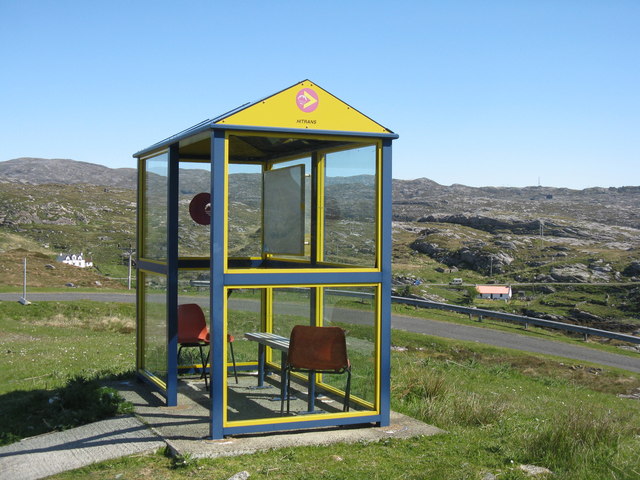
Visitors to Àird Mhìghe can enjoy outdoor activities such as hiking, fishing, and birdwatching in the surrounding area. The village is also a popular destination for tourists looking to explore the beauty of the Scottish Highlands and perhaps catch a glimpse of the legendary Loch Ness monster. Overall, Àird Mhìghe offers a tranquil and idyllic retreat for those seeking to escape the hustle and bustle of city life.

If you have any feedback on the listing, please let us know in the comments section below.
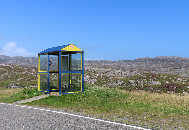
Àird Mhìghe Images

Images are sourced within 2km of 57.832579/-6.8591639 or Grid Reference NG1192. Thanks to Geograph Open Source API. All images are credited.

Rocky landscape Much of the Harris landscape consists of exposed bedrock. This view is over a minor road from Aird Mhighe towards the main road, the A859.
Rocky landscape
Much of the Harris landscape consists of exposed bedrock. This view is over a minor road from Aird Mhighe towards the main road, the A859.
Landscape of Harris
Landscape of Harris
Bus Shelter The bus shelter is above the turning to Liceasto. I was pleasantly surprised to find a timetable suggesting that there are six buses a day from Roghadal via here to Tarbert.
Bus Shelter
The bus shelter is above the turning to Liceasto. I was pleasantly surprised to find a timetable suggesting that there are six buses a day from Roghadal via here to Tarbert.
Ceann a' Bhàigh Mhòr The name means 'head of the big bay'; the 'big bay' seems to be Loch Stockinish.
Ceann a' Bhàigh Mhòr
The name means 'head of the big bay'; the 'big bay' seems to be Loch Stockinish.
Ceann a' Bhàigh Mhòr The sea-loch in the foreground is the 'head of the big bay' but the rock face appears not to have a name of its own.
Ceann a' Bhàigh Mhòr
The sea-loch in the foreground is the 'head of the big bay' but the rock face appears not to have a name of its own.
Leac a' Li across Ob Liath Leac a' Li or Lackalee is on the shore of Loch Stockinish, and the head of the loch is Ob Liath, the 'grey bay'.
Leac a' Li across Ob Liath
Leac a' Li or Lackalee is on the shore of Loch Stockinish, and the head of the loch is Ob Liath, the 'grey bay'.
Unnamed Inlet The map suggests that this inlet dries at low tide. It opens into Ob Liath, and then into Loch Stocanais.
Unnamed Inlet
The map suggests that this inlet dries at low tide. It opens into Ob Liath, and then into Loch Stocanais.
Landlocked Inlet This inlet of the sea near Àird Mhìghe is almost completely landlocked.
Landlocked Inlet
This inlet of the sea near Àird Mhìghe is almost completely landlocked.
The road to Liceasto/Lickisto One of several turnings off into the rocky landscape of the Golden Road area of Harris.
The road to Liceasto/Lickisto
One of several turnings off into the rocky landscape of the Golden Road area of Harris.
Lickisto and Ãird Mhìghe With a tent of Lickisto Blackhouse Camping in the dip in the foreground.
Lickisto and Ãird Mhìghe
With a tent of Lickisto Blackhouse Camping in the dip in the foreground.
Bus stop at Liceasto/Lickisto With facilities.
Bus stop at Liceasto/Lickisto
With facilities.
At Ceann a' Bhaigh
At Ceann a' Bhaigh
Loch Glumradh Mor
Loch Glumradh Mor
Loch Airigh Iain Oig
Lochan by the summit of Stoicleit an Ear
Road guide post at Aird Mhìghe
New bridge on the Golden Road
Loch Stocinis from near Aird Mighe, Isle of Harris
Show me another place!

Àird Mhìghe is located at Grid Ref: NG1192 (Lat: 57.832579, Lng: -6.8591639)

Unitary Authority: Na h-Eileanan an Iar

Police Authority: Highlands and Islands

What 3 Words

///part.agency.tickles. Near Tarbert, Na h-Eileanan Siar

Related Wikis

Stockinish Island

Stockinish Island (Scottish Gaelic: Eilean Stocainis) is an uninhabited island off Harris, in the Outer Hebrides. == Geography and geology == Stockinish...

East Loch Tarbert

East Loch Tarbert (Scottish Gaelic: Loch an Tairbeairt) is a sea loch that lies to the east of Harris in the Outer Hebrides of Scotland. The loch contains...

Luskentyre

Luskentyre (Scottish Gaelic: Losgaintir) is a sparse settlement on the west coast of Harris, in the Outer Hebrides, Scotland. Luskentyre is situated within...

Borsham

Borsham (Scottish Gaelic: Boirseam) is a village in the 'Bays' area of Harris in the Outer Hebrides, Scotland. Borsham is within the parish of Harris....

Nearby Amenities

Located within 500m of 57.832579,-6.8591639
Passing Place
Lat/Long: 57.8317948/-6.8543043
Passing Place
Lat/Long: 57.828771/-6.8562434
Passing Place
Lat/Long: 57.8295963/-6.8574333
Passing Place
Lat/Long: 57.831205/-6.8578804
Passing Place
Lat/Long: 57.8290459/-6.8567528
Bus Stop
Likisto
Naptan AtcoCode: 6010731721
Naptan Bearing: N
Naptan CommonName: Likisto
Naptan Indicator: Village
Naptan Landmark: Village
Naptan NaptanCode: 94723638
Naptan Street: Village
Naptan Verified: no
Source: naptan_import
Lat/Long: 57.8287646/-6.8564728
Loch Salle
Natural: bay
Source: OS_OpenData_StreetView
Lat/Long: 57.8313944/-6.8601917
Passing Place
Lat/Long: 57.8311002/-6.8531045
Barrier: cattle_grid
Lat/Long: 57.8326869/-6.8594295
Power: pole
Lat/Long: 57.830004/-6.8547882
Power: pole
Lat/Long: 57.8310902/-6.8534724
Power: pole
Lat/Long: 57.8321963/-6.8522335
Power: pole
Lat/Long: 57.8322829/-6.8510543
Power: pole
Lat/Long: 57.8288303/-6.8558192
Power: pole
Lat/Long: 57.8290859/-6.8555047
Power: pole
Lat/Long: 57.8295665/-6.8551477
Power: pole
Lat/Long: 57.8315086/-6.8530299
Barrier: cattle_grid
Lat/Long: 57.8319824/-6.8585197
Passing Place
Lat/Long: 57.8328683/-6.8573964
Material: wood
Power: pole
Lat/Long: 57.8325507/-6.8589751
Material: wood
Power: pole
Lat/Long: 57.8327285/-6.8572827
Material: wood
Power: pole
Lat/Long: 57.8326528/-6.8583126
Material: wood
Power: pole
Lat/Long: 57.8324186/-6.8564565
Material: wood
Power: pole
Lat/Long: 57.8320773/-6.8556814
Material: wood
Power: pole
Lat/Long: 57.8318046/-6.8548794
Material: wood
Power: pole
Lat/Long: 57.8315275/-6.8540935
Material: wood
Power: pole
Lat/Long: 57.8312776/-6.8536778
Material: wood
Power: pole
Lat/Long: 57.8327699/-6.8593721
Material: wood
Power: pole
Lat/Long: 57.8320473/-6.8579076
Material: wood
Power: pole
Lat/Long: 57.8317118/-6.8575616
Passing Place
Lat/Long: 57.8319337/-6.8586542
Barrier: cattle_grid
Lat/Long: 57.8319824/-6.8585197
Barrier: cattle_grid
Lat/Long: 57.8319824/-6.8585197
Turning Circle
Lat/Long: 57.834265/-6.8600967
Passing Place
Lat/Long: 57.8318415/-6.8546176
Power: pole
Lat/Long: 57.8309428/-6.8523011
Power: pole
Lat/Long: 57.8310043/-6.85177
Power: pole
Lat/Long: 57.8307247/-6.8523395
The data included in this document is from www.openstreetmap.org. The data is made available under ODbL.

Have you been to Àird Mhìghe?

Leave your review of Àird Mhìghe below (or comments, questions and feedback).