Throckenholt
Settlement in Lincolnshire South Holland
England
Throckenholt
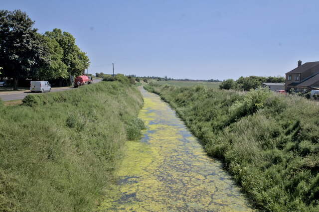
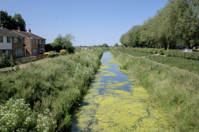
Throckenholt is a small village located in the county of Lincolnshire, England. Situated approximately 5 miles north-west of the town of Spalding, it falls within the South Holland district. Throckenholt is a predominantly rural area characterized by its picturesque landscapes and peaceful atmosphere.
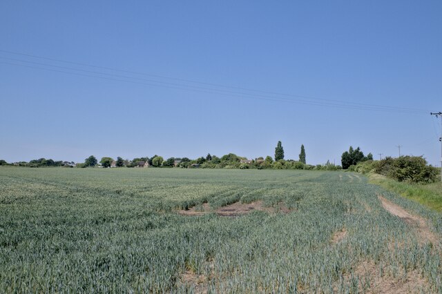
The village is home to a small population of around 100 residents, making it a tight-knit community where everyone knows each other. Throckenholt is primarily an agricultural community, with many residents involved in farming and other related industries. The fertile soils of the area make it favorable for crop cultivation, and the fields surrounding the village are often filled with golden wheat and vibrant rapeseed.
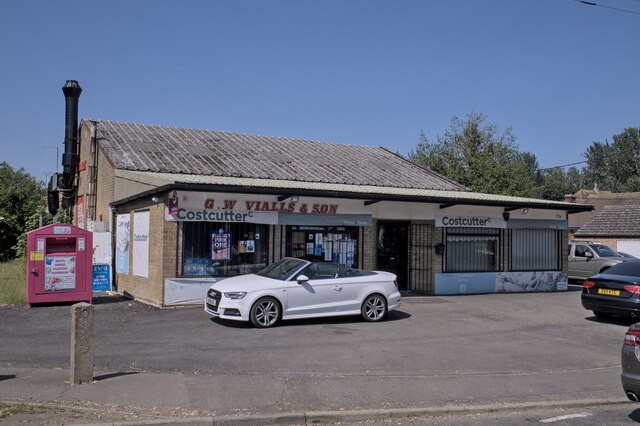
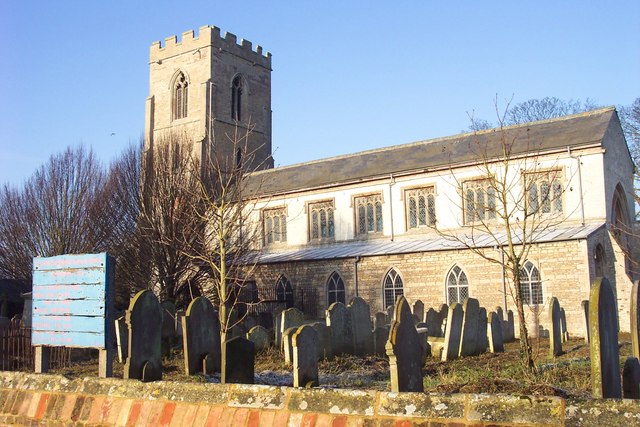
In terms of amenities, Throckenholt has limited facilities. There is no local shop or pub, and residents typically travel to nearby towns for their daily essentials. However, the village does have a small church, St. Andrew's, which dates back to the 13th century and serves as a focal point for the community.
Throckenholt's location offers easy access to the surrounding countryside, making it an attractive place for nature lovers and outdoor enthusiasts. The nearby River Welland provides opportunities for boating and fishing, while the flat terrain allows for pleasant walks and cycling routes.
Overall, Throckenholt offers a tranquil and idyllic rural lifestyle, with a strong sense of community and a close connection to the natural beauty of Lincolnshire.
If you have any feedback on the listing, please let us know in the comments section below.
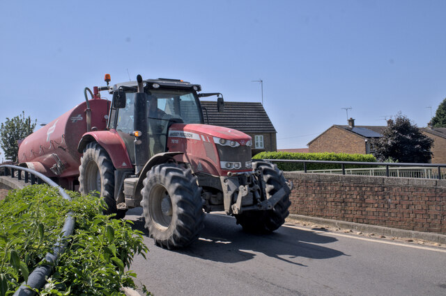
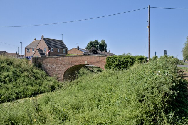
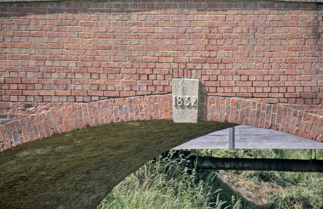
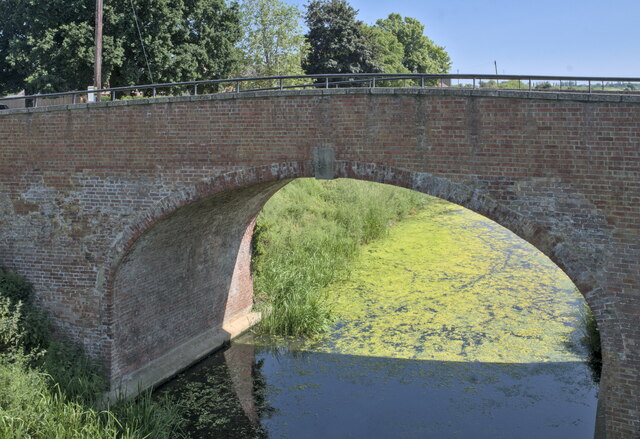
Throckenholt Images
Images are sourced within 2km of 52.66595/0.00967 or Grid Reference TF3609. Thanks to Geograph Open Source API. All images are credited.
Throckenholt is located at Grid Ref: TF3609 (Lat: 52.66595, Lng: 0.00967)
Division: Parts of Holland
Administrative County: Lincolnshire
District: South Holland
Police Authority: Lincolnshire
What 3 Words
///ketchup.nutrients.basics. Near Gedney Hill, Lincolnshire
Nearby Locations
Related Wikis

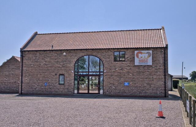
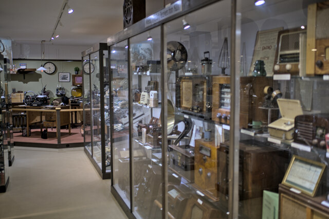
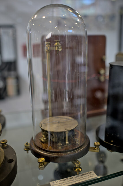
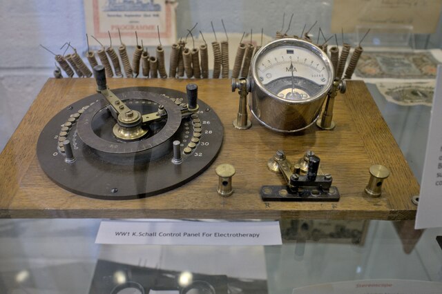
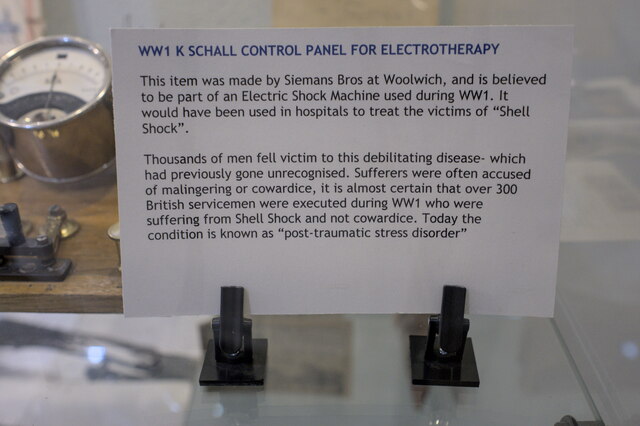
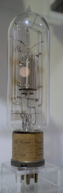
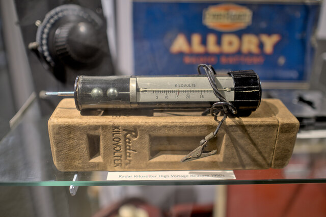
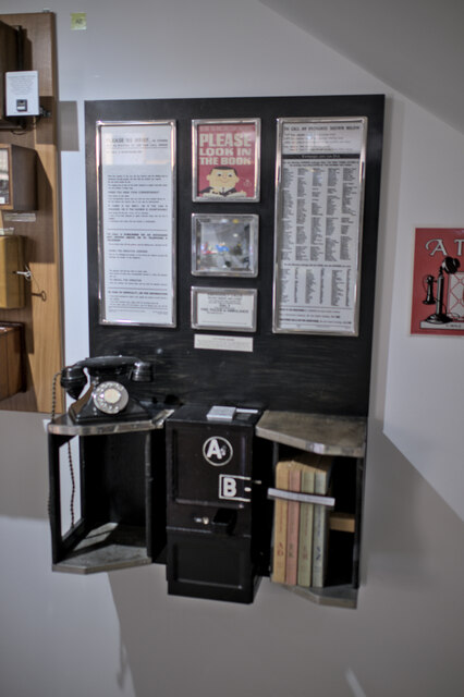
The Museum of Technology
The Museum of Technology the History of Gadgets and Gizmos (formerly The Museum of Technology, The Great War and WWII) is a technology museum in Throckenholt...
Throckenholt
Throckenholt is a village in the civil parish of Sutton St Edmund (where the population is listed) in the South Holland district of Lincolnshire, England...

Gedney Hill
Gedney Hill is a village and civil parish in South Holland district of Lincolnshire, England. The population of the civil parish at the 2011 census was...

Parson Drove
Parson Drove is a fen village in the Isle of Ely, Cambridgeshire, England. A linear settlement, it is 6 miles (10 km) west of Wisbech, the nearest town...
FC Parson Drove
Football Club Parson Drove is a football club based in Parson Drove, Cambridgeshire, England. They are currently members of the Eastern Counties League...

French Drove and Gedney Hill railway station
French Drove and Gedney Hill was a station on the Great Northern and Great Eastern Joint Railway near Gedney Hill in south Lincolnshire on the line between...
St John the Baptist's Church, Parson Drove
St John the Baptist's Church is a redundant Anglican church in the village of Parson Drove, Cambridgeshire, England. It is recorded in the National Heritage...

Murrow East railway station
Murrow East railway station was a station in Murrow, Cambridgeshire. It was on the Midland and Great Northern Joint Railway line between Wisbech and Peterborough...
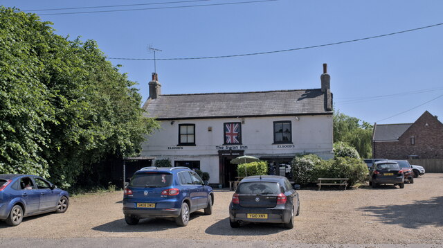
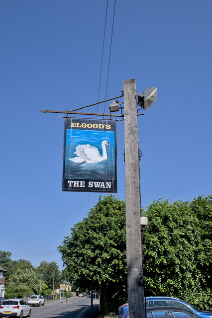
Nearby Amenities
Located within 500m of 52.66595,0.00967Have you been to Throckenholt?
Leave your review of Throckenholt below (or comments, questions and feedback).