Thornbury

Settlement in Gloucestershire

England

Thornbury

Fingerpost over a village pump At the bottom of the High St, Thornbury. The location is also called  "The Plain". This fingerpost hangs over a village pump within a horseshoe of iron railings. Context (reverse) view see <a href="https://www.geograph.org.uk/photo/7020690">ST6390 : Village Pump & fingerpost, High Street</a>

Inscription: To Gloucester ☛

Milestone Society National ID: GL_ST6390
Fingerpost over a village pump Credit: Mr Red

The requested URL returned error: 429 Too Many Requests

If you have any feedback on the listing, please let us know in the comments section below.
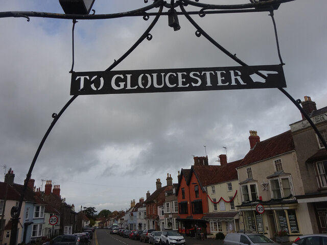
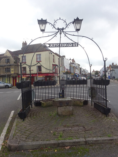
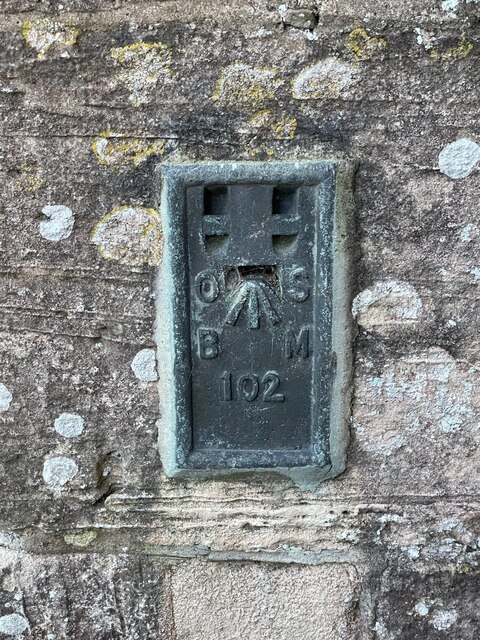
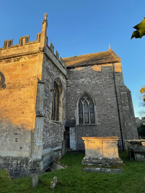
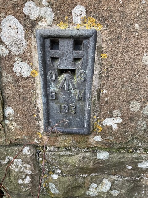
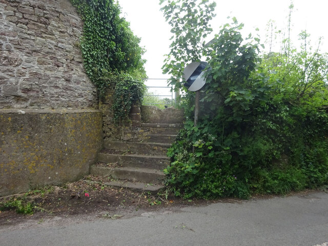
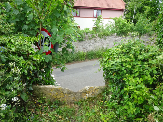
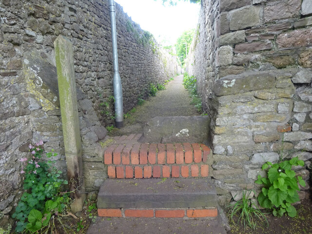
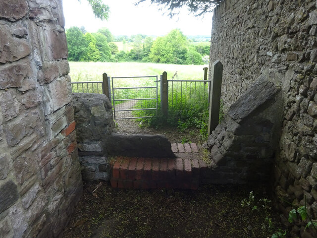
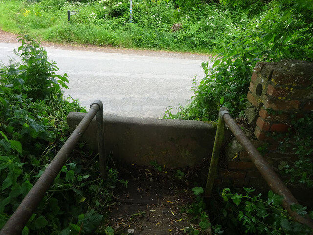
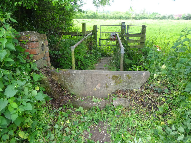
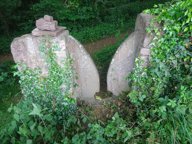
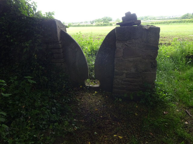
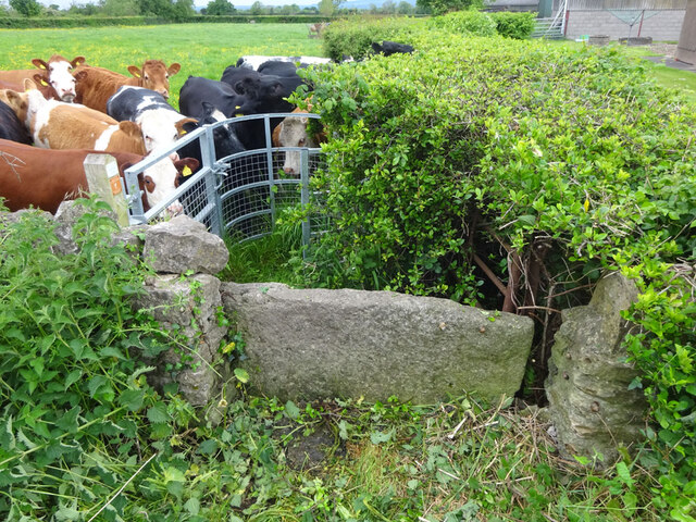
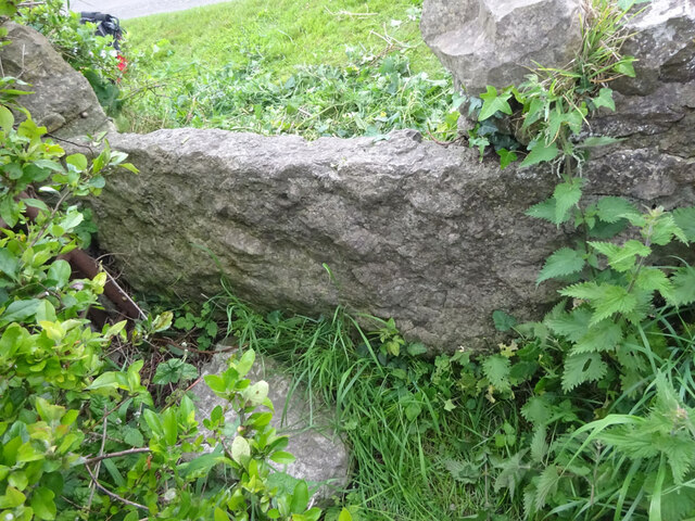
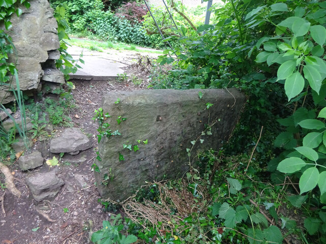
Thornbury Images

Images are sourced within 2km of 51.609417/-2.5259583 or Grid Reference ST6390. Thanks to Geograph Open Source API. All images are credited.

Fingerpost over a village pump At the bottom of the High St, Thornbury. The location is also called  "The Plain". This fingerpost hangs over a village pump within a horseshoe of iron railings. Context (reverse) view see <a href="https://www.geograph.org.uk/photo/7020690">ST6390 : Village Pump & fingerpost, High Street</a>

Inscription: To Gloucester ☛

Milestone Society National ID: GL_ST6390
Fingerpost over a village pump
At the bottom of the High St, Thornbury. The location is also called "The Plain". This fingerpost hangs over a village pump within a horseshoe of iron railings. Context (reverse) view see ST6390 : Village Pump & fingerpost, High Street Inscription: To Gloucester ☛ Milestone Society National ID: GL_ST6390
Village Pump & fingerpost, High Street Bottom of the High Street, Thornbury. The location is also called  "The Plain". Surrounded by railings in a horseshoe pattern, with a fingerpost sign hanging above. Twin, old fashioned style lamps above. Obverse view of fingerpost see <a href="https://www.geograph.org.uk/photo/7020649">ST6390 : Fingerpost over a village pump</a>

Inscription: To Gloucester ☛

Milestone Society National ID: GL_ST6390
Village Pump & fingerpost, High Street
Bottom of the High Street, Thornbury. The location is also called "The Plain". Surrounded by railings in a horseshoe pattern, with a fingerpost sign hanging above. Twin, old fashioned style lamps above. Obverse view of fingerpost see ST6390 : Fingerpost over a village pump Inscription: To Gloucester ☛ Milestone Society National ID: GL_ST6390
Flush Bracket OSBM 102: Thornbury, St. Mary's Church This Ordnance Survey benchmark is located on a small buttress in an internal angle near the south-east corner of the church.  See <a title="https://www.geograph.org.uk/photo/7074287" href="https://www.geograph.org.uk/photo/7074287">Link</a> for a wider view and <span class="nowrap"><a title="https://www.bench-marks.org.uk/bm9770" rel="nofollow ugc noopener" href="https://www.bench-marks.org.uk/bm9770">Link</a><img style="margin-left:2px;" alt="External link" title="External link - shift click to open in new window" src="https://s1.geograph.org.uk/img/external.png" width="10" height="10"/></span> for details of the mark.
Flush Bracket OSBM 102: Thornbury, St. Mary's Church
This Ordnance Survey benchmark is located on a small buttress in an internal angle near the south-east corner of the church. See Link for a wider view and LinkExternal link for details of the mark.
Part of Thornbury Church An Ordnance Survey benchmark is located on the small buttress in the internal angle shown near the south-east corner of the church.  See <a title="https://www.geograph.org.uk/photo/7074281" href="https://www.geograph.org.uk/photo/7074281">Link</a> for a closer view and <span class="nowrap"><a title="https://www.bench-marks.org.uk/bm9770" rel="nofollow ugc noopener" href="https://www.bench-marks.org.uk/bm9770">Link</a><img style="margin-left:2px;" alt="External link" title="External link - shift click to open in new window" src="https://s1.geograph.org.uk/img/external.png" width="10" height="10"/></span> for details of the mark.
Part of Thornbury Church
An Ordnance Survey benchmark is located on the small buttress in the internal angle shown near the south-east corner of the church. See Link for a closer view and LinkExternal link for details of the mark.
Flush Bracket OSBM 103: Upper Morton Farm Ordnance Survey benchmark on a farm building then known as Upper Morton Farm but now called Manor Farm on modern maps.  See <span class="nowrap"><a title="https://www.bench-marks.org.uk/bm9771" rel="nofollow ugc noopener" href="https://www.bench-marks.org.uk/bm9771">Link</a><img style="margin-left:2px;" alt="External link" title="External link - shift click to open in new window" src="https://s1.geograph.org.uk/img/external.png" width="10" height="10"/></span> for details of the mark.
Flush Bracket OSBM 103: Upper Morton Farm
Ordnance Survey benchmark on a farm building then known as Upper Morton Farm but now called Manor Farm on modern maps. See LinkExternal link for details of the mark.
Stone Stile, Thornbury Of Kington Lane on Gloucestershire footpath OTH/43 leading ultimately to Munday Playing Fields. The view looking back to the road is <a href="https://www.geograph.org.uk/photo/7175478">ST6389 : Stone Stile, Thornbury</a>.
Stone Stile, Thornbury
Of Kington Lane on Gloucestershire footpath OTH/43 leading ultimately to Munday Playing Fields. The view looking back to the road is ST6389 : Stone Stile, Thornbury.
Stone Stile, Thornbury Of Kington Lane on Gloucestershire footpath OTH/43 leading ultimately to Munday Playing Fields. The view looking from the road is <a href="https://www.geograph.org.uk/photo/7175482">ST6390 : Stone Stile, Thornbury</a>.
Stone Stile, Thornbury
Of Kington Lane on Gloucestershire footpath OTH/43 leading ultimately to Munday Playing Fields. The view looking from the road is ST6390 : Stone Stile, Thornbury.
Stone Stile, Thornbury From Castle Street on Gloucestershire walled footpath OTH/46 as it enters the field. This is looking into the path, the view looking out is <a href="https://www.geograph.org.uk/photo/7175500">ST6390 : Stone Stile, Thornbury</a>.
Stone Stile, Thornbury
From Castle Street on Gloucestershire walled footpath OTH/46 as it enters the field. This is looking into the path, the view looking out is ST6390 : Stone Stile, Thornbury.
Stone Stile, Thornbury From Castle Street on Gloucestershire walled footpath OTH/46 as it enters the field. This is looking from the path, the view looking back is <a href="https://www.geograph.org.uk/photo/7175499">ST6390 : Stone Stile, Thornbury</a>.
Stone Stile, Thornbury
From Castle Street on Gloucestershire walled footpath OTH/46 as it enters the field. This is looking from the path, the view looking back is ST6390 : Stone Stile, Thornbury.
Stone Stile, Thornbury At the junction of Kington Lane & Kington Road leading SW across a ditch, on Gloucestershire footpath OTH/31. The view looking from the road is <a href="https://www.geograph.org.uk/photo/7175546">ST6290 : Stone Stile, Thornbury</a>.
Stone Stile, Thornbury
At the junction of Kington Lane & Kington Road leading SW across a ditch, on Gloucestershire footpath OTH/31. The view looking from the road is ST6290 : Stone Stile, Thornbury.
Stone Stile, Thornbury At the junction of Kington Lane & Kington Road leading SW across a ditch, on Gloucestershire footpath OTH/31. The view looking to the road is <a href="https://www.geograph.org.uk/photo/7175542">ST6290 : Stone Stile, Thornbury</a>.
Stone Stile, Thornbury
At the junction of Kington Lane & Kington Road leading SW across a ditch, on Gloucestershire footpath OTH/31. The view looking to the road is ST6290 : Stone Stile, Thornbury.
Stone Stile, Thornbury Beside Gloucestershire footpath OTH/35 looking SE in a copse. The view looking out of the woods is <a href="https://www.geograph.org.uk/photo/7175556">ST6290 : Stone Stile, Thornbury</a>.
Stone Stile, Thornbury
Beside Gloucestershire footpath OTH/35 looking SE in a copse. The view looking out of the woods is ST6290 : Stone Stile, Thornbury.
Stone Stile, Thornbury Beside Gloucestershire footpath OTH/35 looking NW from a copse. The view looking into the woods is <a href="https://www.geograph.org.uk/photo/7175553">ST6290 : Stone Stile, Thornbury</a>.
Stone Stile, Thornbury
Beside Gloucestershire footpath OTH/35 looking NW from a copse. The view looking into the woods is ST6290 : Stone Stile, Thornbury.
Stone Stile, Thornbury In the parish of Lower Morton, off Morton Street. On Gloucestershire footpath OTH/62 looking NW to the curious cows. The view the cows got was <a href="https://www.geograph.org.uk/photo/7175569">ST6491 : Stone Stile, Thornbury</a>.
Stone Stile, Thornbury
In the parish of Lower Morton, off Morton Street. On Gloucestershire footpath OTH/62 looking NW to the curious cows. The view the cows got was ST6491 : Stone Stile, Thornbury.
Stone Stile, Thornbury In the parish of Lower Morton, off Morton Street. On Gloucestershire footpath OTH/62 looking E from a group of curious cows. The view from the road towards the cows is <a href="https://www.geograph.org.uk/photo/7175565">ST6491 : Stone Stile, Thornbury</a>.
Stone Stile, Thornbury
In the parish of Lower Morton, off Morton Street. On Gloucestershire footpath OTH/62 looking E from a group of curious cows. The view from the road towards the cows is ST6491 : Stone Stile, Thornbury.
Stone Stile, Thornbury On Gloucestershire footpath OTH/84 from a bridge over a stream looking towards Corn Rows. The view looking back towards the stream is <a href="https://www.geograph.org.uk/photo/7175594">ST6391 : Stone Stile, Thornbury</a>.
Stone Stile, Thornbury
On Gloucestershire footpath OTH/84 from a bridge over a stream looking towards Corn Rows. The view looking back towards the stream is ST6391 : Stone Stile, Thornbury.
Stone Stile, Thornbury On Gloucestershire footpath OTH/84 from a bridge over a stream looking towards the stream. The view looking back towards Corn Rows is <a href="https://www.geograph.org.uk/photo/7175592">ST6391 : Stone Stile, Thornbury</a>.
Stone Stile, Thornbury
On Gloucestershire footpath OTH/84 from a bridge over a stream looking towards the stream. The view looking back towards Corn Rows is ST6391 : Stone Stile, Thornbury.
Thornbury Castle from the walled garden
Show me another place!

Thornbury is located at Grid Ref: ST6390 (Lat: 51.609417, Lng: -2.5259583)

Unitary Authority: South Gloucestershire

Police Authority: Avon and Somerset

What 3 Words

///happening.goad.reclining. Near Thornbury, Gloucestershire

Nearby Locations

Thornbury Park Thornbury

Related Wikis

GLOSS FM

GLOSS FM was an online community radio station in the United Kingdom, broadcasting to Thornbury and District, South Gloucestershire. Its strapline is...

Thornbury Hoard

The Thornbury Hoard is a hoard of 11,460 copper alloy Roman coins, mainly radiates and nummi, dating from 260 to 348, found in the back garden of Ken Allen...

Thornbury, Gloucestershire

Thornbury is a market town and civil parish in the South Gloucestershire unitary authority area of England, about 12 mi (19 km) north of Bristol. It had...

Thornbury Town Hall

Thornbury Town Hall, is a municipal building in the High Street, Thornbury, Gloucestershire, England. The building, which is the meeting place of Thornbury...

Nearby Amenities

Located within 500m of 51.609417,-2.5259583
Mini Roundabout
Direction: clockwise
Lat/Long: 51.6052463/-2.5260834
Mini Roundabout
Direction: clockwise
Lat/Long: 51.6090649/-2.5249781
Crossing
Check Date Crossing: 2022-03-18
Crossing: uncontrolled
Crossing Ref: zebra
Lat/Long: 51.6073387/-2.5260386
Traffic Calming: cushion
Lat/Long: 51.6052347/-2.5236625
Thornbury
Place: town
Postal Code: BS35
Website: http://www.mythornbury.com/
Wikidata: Q1234779
Wikipedia: en:Thornbury, Gloucestershire
Lat/Long: 51.6078094/-2.5254942
Barrier: stile
Bicycle: no
Foot: designated
Horse: no
Material: stone
Motor Vehicle: no
Stile: stepover
Lat/Long: 51.6092973/-2.5281554
Traffic Signals
Button Operated: yes
Crossing: traffic_signals
Crossing Ref: pelican
Tactile Paving: yes
Traffic Signals Vibration: yes
Lat/Long: 51.6074977/-2.5238518
Speed Camera
Lat/Long: 51.6126754/-2.5211157
Turning Circle
Lat/Long: 51.6060421/-2.5220449
Crossing
Crossing: uncontrolled
Crossing Island: no
Crossing Ref: zebra
Lat/Long: 51.6087599/-2.5260099
Southglos Heritagetrail: 2
Lat/Long: 51.6073816/-2.5260031
Southglos Heritagetrail: 39
Lat/Long: 51.6087291/-2.5261041
Barrier: kissing_gate
Lat/Long: 51.6122105/-2.522982
Post Box
Post Box Mounting: pier
Post Box Type: lamp
Postal Code: BS35
Ref: BS35 135
Lat/Long: 51.6110808/-2.5276946
Post Box
Collection Times: Mo-Fr 09:00; Sa 07:00
Operator: Royal Mail
Post Box Type: pillar
Ref: BS35 360D
Royal Cypher: GR
Royal Cypher Wikidata: Q33102273
Survey Date: 2017-03-23
Lat/Long: 51.612193/-2.5229105
Crossing
Check Date Crossing: 2023-04-16
Crossing: uncontrolled
Crossing Island: no
Crossing Ref: zebra
Tactile Paving: yes
Lat/Long: 51.6089552/-2.5250038
Turning Circle
Lat/Long: 51.6093923/-2.5240836
Crossing
Crossing: unmarked
Crossing Island: yes
Tactile Paving: no
Lat/Long: 51.6107006/-2.5237174
Southglos Heritagetrail: 24
Lat/Long: 51.6093782/-2.5260433
Southglos Heritagetrail: 3
Lat/Long: 51.6068687/-2.5260144
Southglos Heritagetrail: 5
Lat/Long: 51.6063986/-2.526337
Southglos Heritagetrail: 7
Lat/Long: 51.6063225/-2.5262699
Southglos Heritagetrail: *
Lat/Long: 51.6061986/-2.5262994
Southglos Heritagetrail: 1
Lat/Long: 51.6077238/-2.5260277
Southglos Heritagetrail: 22
Lat/Long: 51.6080185/-2.5259735
Southglos Heritagetrail: 40
Lat/Long: 51.608073/-2.5261457
Turning Circle
Lat/Long: 51.611818/-2.5302773
Cafe
Foxhills Coffee & Gift Shop
Addr City: Thornbury
Addr Housenumber: 24
Addr Postcode: BS35 2AH
Addr Street: High Street
Fhrs Id: 960767
Old Name: Heritage;Papilio at Heritage
Lat/Long: 51.6076465/-2.5265307
Post Box
Collection Times: Mo-Fr 17:30; Sa 11:15
Collection Times Checked: 2016-08-11
Operator: Royal Mail
Post Box Apertures: 2
Post Box Type: pillar
Postal Code: BS35
Ref: BS35 1006;BS35 1005
Royal Cypher: EIIR
Royal Cypher Wikidata: Q33102113
Lat/Long: 51.6087257/-2.5259139
Post Box
Collection Times: Mo-Fr 09:00; Sa 07:00
Operator: Royal Mail
Post Box Type: pillar
Ref: BS35 1115
Royal Cypher: EIIR
Royal Cypher Wikidata: Q33102113
Survey Date: 2017-02-09
Lat/Long: 51.6071256/-2.5259899
Crossing
Crossing: uncontrolled
Crossing Island: no
Crossing Ref: zebra
Note: new March 2009
Tactile Paving: no
Lat/Long: 51.6051224/-2.5252664
Post Box
Collection Times: Mo-Fr 09:00; Sa 07:00
Operator: Royal Mail
Post Box Type: lamp
Ref: BS35 546D
Royal Cypher: EIIR
Royal Cypher Wikidata: Q33102113
Survey Date: 2017-03-30
Lat/Long: 51.60765/-2.5210482
Leisure: playground
Lat/Long: 51.6067718/-2.5287188
Bus Stop
Stokefield Close
Bench: no
Bin: no
Lit: no
Naptan AtcoCode: 0170SGB20682
Naptan Bearing: SW
Naptan CommonName: Stokefield Close
Naptan Crossing: Castle Street
Naptan NaptanCode: sgldgdg
Naptan Street: Stokefield Close
Naptan Verified: no
Shelter: no
Source: naptan_import
Tactile Paving: no
Lat/Long: 51.610959/-2.5273398
Bus Stop
Stokefield Close
Bench: no
Bin: no
Lit: no
Naptan AtcoCode: 0170SGB20683
Naptan Bearing: SW
Naptan CommonName: Stokefield Close
Naptan Crossing: Castle Street
Naptan NaptanCode: sgldgda
Naptan Street: Stokefield Close
Naptan Verified: no
Shelter: no
Source: naptan_import
Tactile Paving: no
Lat/Long: 51.61117/-2.527757
Bus Stop
Streamleaze Court
Bench: no
Bin: no
Bus: yes
Lit: no
Naptan AtcoCode: 0170SGP90926
Naptan Bearing: N
Naptan CommonName: Streamleaze Court
Naptan Crossing: Streamleaze
Naptan NaptanCode: sgldgjg
Naptan Street: Rock Street
Naptan Verified: no
Public Transport: platform
Shelter: no
Source: naptan_import
Tactile Paving: no
Lat/Long: 51.6054005/-2.5243863
Bus Stop
Rock Street
Bench: yes
Bin: yes
Check Date Shelter: 2023-04-16
Lit: yes
Naptan AtcoCode: 0170SGP90927
Naptan Bearing: N
Naptan CommonName: Rock Street
Naptan Crossing: Pullins Green
Naptan NaptanCode: sgldgjw
Naptan Street: Rock Street
Shelter: yes
Source: naptan_import
Tactile Paving: yes
Lat/Long: 51.6078224/-2.5238078
Bus Stop
Gillingstool
Naptan AtcoCode: 0170SGP90929
Naptan Bearing: E
Naptan CommonName: Gillingstool
Naptan NaptanCode: sgldgwd
Naptan Street: Gillingstool
Naptan Verified: no
Source: naptan_import
Lat/Long: 51.6073061/-2.5204804
Bus Stop
Church Road
Bench: no
Bin: no
Lit: no
Naptan AtcoCode: 0170SGP90973
Naptan Bearing: NE
Naptan CommonName: Church Road
Naptan Crossing: Church Road
Naptan NaptanCode: sgldgtd
Naptan Street: Gloucester Road
Naptan Verified: no
Shelter: no
Source: naptan_import
Tactile Paving: no
Wheelchair: yes
Lat/Long: 51.6124/-2.521463
Bus Stop
The Plain
Bench: yes
Bin: yes
Naptan AtcoCode: 0170SGP90975
Naptan Bearing: S
Naptan CommonName: The Plain
Naptan Crossing: Castle Court
Naptan NaptanCode: sgldgdp
Naptan Street: High Street
Naptan Verified: yes
Shelter: no
Source: naptan_import
Lat/Long: 51.6089036/-2.5258826
Bus Stop
Chapel Lane
Naptan AtcoCode: 0170SGP90976
Naptan Bearing: S
Naptan CommonName: Chapel Lane
Naptan Crossing: Chapel Street
Naptan NaptanCode: sgldgdm
Naptan Street: High Street
Naptan Verified: no
Source: naptan_import
Lat/Long: 51.6062068/-2.5263088
Bus Stop
Gillingstool
Bench: yes
Naptan AtcoCode: 0170SGZ01515
Naptan Bearing: W
Naptan CommonName: Gillingstool
Naptan NaptanCode: sgldgtw
Naptan Street: Gillingstool
Naptan Verified: no
Shelter: yes
Source: naptan_import
Lat/Long: 51.607239/-2.520799
Traffic Signals
Button Operated: yes
Crossing: traffic_signals
Crossing Ref: puffin
Tactile Paving: yes
Traffic Signals Vibration: yes
Lat/Long: 51.6076064/-2.5221045
Entrance: yes
Lat/Long: 51.6073981/-2.5247276
Bench
Backrest: yes
Mapillary: 805806097016810
Survey Date: 2019-02-06
Lat/Long: 51.6093492/-2.52608
Bench
Backrest: yes
Mapillary: 964340577658442
Survey Date: 2019-02-06
Lat/Long: 51.6094005/-2.5260947
Telephone
Booth: K6
Covered: booth
Man Made: telephone_box
Mapillary: 1547258738950142
Source: survey
Survey Date: 2021-07-02
Lat/Long: 51.6092403/-2.5260861
Barrier: stile
Bicycle: no
Foot: yes
Horse: no
Material: stone
Motor Vehicle: no
Stile: stepover
Lat/Long: 51.6093132/-2.5281597
Waste Basket
Check Date: 2023-07-01
Lat/Long: 51.6094163/-2.5260977
Drinking Water
HE Ref: 1312683
Heritage: 2
Heritage Operator: Historic England
Listed Status: Grade II
Lat/Long: 51.6095024/-2.5262528
Waste Basket
Lat/Long: 51.6087531/-2.526104
Entrance: yes
Lat/Long: 51.6078212/-2.5258268
Barrier: bollard
Foot: yes
Lat/Long: 51.6061426/-2.5210968
Man Made: tower
Tower Type: communication
Lat/Long: 51.6093019/-2.5230246
Entrance: main
Lat/Long: 51.6086662/-2.5258775
Entrance: yes
Lat/Long: 51.6087182/-2.5258725
Entrance: main
Lat/Long: 51.6088895/-2.5258376
Atm
Operator: Lloyds
Source: survey
Lat/Long: 51.6089119/-2.5258342
Waste Basket
Check Date: 2023-07-01
Lat/Long: 51.6090395/-2.5258419
Entrance: yes
Lat/Long: 51.6070932/-2.5252149
Entrance: yes
Lat/Long: 51.6071113/-2.5259344
Entrance: yes
Lat/Long: 51.607143/-2.5252182
Entrance: yes
Lat/Long: 51.6071681/-2.5259332
Entrance: yes
Lat/Long: 51.6071891/-2.5256684
Entrance: yes
Lat/Long: 51.6073287/-2.5259504
Entrance: yes
Lat/Long: 51.6073692/-2.5259537
Entrance: yes
Lat/Long: 51.6074355/-2.5259902
Entrance: yes
Lat/Long: 51.6077443/-2.5256649
Tourism: artwork
Lat/Long: 51.6077902/-2.5258767
Entrance: yes
Lat/Long: 51.608232/-2.5259205
Entrance: main
Lat/Long: 51.6089361/-2.5258354
Entrance: main
Lat/Long: 51.6089854/-2.5258366
Entrance: yes
Lat/Long: 51.6099714/-2.5270512
Entrance: yes
Lat/Long: 51.6101419/-2.5270043
Entrance: yes
Lat/Long: 51.6113863/-2.5277574
Entrance: main
Lat/Long: 51.6078748/-2.5259543
Bench
Backrest: yes
Mapillary: 487491046039683
Survey Date: 2019-02-06
Lat/Long: 51.6064277/-2.5245201
Bench
Backrest: yes
Lat/Long: 51.6067286/-2.5242003
Waste Basket
Check Date: 2023-04-16
Lat/Long: 51.6067431/-2.5242255
Waste Basket
Check Date: 2023-04-16
Lat/Long: 51.6068443/-2.5242041
Bench
Backrest: yes
Lat/Long: 51.6068522/-2.5241741
Waste Basket
Check Date: 2023-04-16
Lat/Long: 51.6071653/-2.5240285
Waste Basket
Check Date: 2023-04-16
Lat/Long: 51.6078081/-2.523853
Waste Basket
Waste: dog_excrement
Lat/Long: 51.6078222/-2.5234434
Waste Basket
Check Date: 2023-07-01
Lat/Long: 51.6078905/-2.5228661
Waste Basket
Lat/Long: 51.6087935/-2.5223218
Toilets
Lat/Long: 51.606102/-2.5301677
Waste Basket
Source: survey
Lat/Long: 51.6125518/-2.5239288
Johnson & Furze
Optician: optometrist
Shop: optician
Lat/Long: 51.6064178/-2.5255131
Barrier: kissing_gate
Lat/Long: 51.6089787/-2.5283026
Maxheight: 2.25
Lat/Long: 51.608986/-2.5278365
View Architects
Office: architect
Lat/Long: 51.6077459/-2.524771
Atm
Lat/Long: 51.6087398/-2.5258703
Restaurant
Thai Basil
Addr City: Thornbury
Addr Housenumber: 28
Addr Postcode: BS35 2AH
Addr Street: High Street
Fhrs Id: 144375
Wikidata: Q26421666
Lat/Long: 51.607402/-2.5263819
Waste Basket
Lat/Long: 51.6120872/-2.5298605
Man Made: street_cabinet
Lat/Long: 51.6086305/-2.5262547
Waste Basket
Lat/Long: 51.6086438/-2.5264137
Bench
Backrest: yes
Mapillary: 143606737741470
Survey Date: 2017-09-18
Lat/Long: 51.6086455/-2.5264593
Waste Basket
Lat/Long: 51.608962/-2.5278406
Fixme: incomplete
Lat/Long: 51.6098883/-2.5311544
Man Made: street_cabinet
Note: Labelled "PROT UNIT"
Lat/Long: 51.6096734/-2.5311671
Telephone: pole
Lat/Long: 51.6096761/-2.5311579
Hatch Camphill Community
Fixme: Identify extents and map as area
Lat/Long: 51.611054/-2.529428
Fixme: small electrical substation here somewhere
Power: substation
Lat/Long: 51.6090586/-2.5269106
Waste Basket
Lat/Long: 51.6090881/-2.5270889
Southglos Heritagetrail: 37
Lat/Long: 51.6092943/-2.5283087
Fixme: incomplete
Lat/Long: 51.6106462/-2.5291608
Barrier: stile
Stile: squeezer
Lat/Long: 51.6107074/-2.5291803
Southglos Heritagetrail: 28
Lat/Long: 51.6116808/-2.5293757
Man Made: street_cabinet
Lat/Long: 51.6115057/-2.5286867
Bench
Backrest: yes
Mapillary: 1890739437768358
Survey Date: 2018-05-10
Lat/Long: 51.6128625/-2.5299879
Waste Basket
Lat/Long: 51.6128771/-2.529939
Bench
Backrest: yes
Mapillary: 511538013586030
Survey Date: 2017-11-08
Lat/Long: 51.6129025/-2.5302595
Man Made: street_cabinet
Lat/Long: 51.6124516/-2.5267056
Waste Basket
Waste: dog_excrement
Lat/Long: 51.6128875/-2.5266499
Waste Basket
Lat/Long: 51.6122139/-2.5229978
Man Made: street_cabinet
Lat/Long: 51.6108676/-2.523843
Waste Basket
Lat/Long: 51.6127158/-2.5255022
Man Made: street_cabinet
Lat/Long: 51.6125933/-2.5241759
Man Made: street_cabinet
Lat/Long: 51.6126924/-2.5252796
Man Made: street_cabinet
Lat/Long: 51.6079082/-2.5209518
Communication: outdoor_dslam
Man Made: street_cabinet
Street Cabinet: telecom
Lat/Long: 51.6074885/-2.5212602
Man Made: street_cabinet
Lat/Long: 51.6086716/-2.520524
Waste Basket
Check Date: 2023-10-26
Lat/Long: 51.6075959/-2.52226
Man Made: street_cabinet
Ref: 1
Street Cabinet: telecom
Lat/Long: 51.607518/-2.5211456
Man Made: street_cabinet
Lat/Long: 51.6090333/-2.52193
Waste Basket
Lat/Long: 51.6096142/-2.5190519
Waste Basket
Lat/Long: 51.6073568/-2.5204376
Waste Basket
Lat/Long: 51.6079811/-2.5196598
Waste Basket
Waste: dog_excrement
Lat/Long: 51.6081668/-2.5194479
Southglos Heritagetrail: 14
Lat/Long: 51.6074756/-2.5218411
Colour: green
Man Made: street_cabinet
Ref: 6
Street Cabinet: telecom
Lat/Long: 51.606399/-2.5259495
Colour: green
Man Made: street_cabinet
Street Cabinet: telecom
Lat/Long: 51.6064269/-2.5250778
Waste Basket
Check Date: 2023-04-16
Lat/Long: 51.6060345/-2.5245079
Colour: green
Man Made: street_cabinet
Ref: 14
Street Cabinet: telecom
Lat/Long: 51.6051991/-2.5237407
Colour: green
Communication: outdoor_dslam
Man Made: street_cabinet
Street Cabinet: telecom
Lat/Long: 51.6052445/-2.523494
Colour: green
Man Made: street_cabinet
Street Cabinet: telecom
Lat/Long: 51.6052495/-2.5235161
Colour: green
Man Made: street_cabinet
Ref: 3
Street Cabinet: telecom
Lat/Long: 51.6115486/-2.5283082
Barrier: bollard
Lat/Long: 51.6068396/-2.522513
Barrier: bollard
Lat/Long: 51.6068954/-2.5226766
Street Lamp
Lat/Long: 51.6105088/-2.5277902
Street Lamp
Lat/Long: 51.6101278/-2.5278841
Street Lamp
Lat/Long: 51.6098721/-2.527976
Street Lamp
Lat/Long: 51.6096805/-2.5277004
Amelia Davies Osteopathy
Addr City: Thornbury
Addr Housenumber: 24
Addr Postcode: BS35 2AH
Addr Street: High Street
Addr Unit: Upper floor
Healthcare: alternative
Healthcare Speciality: osteopathy
Old Name: Swish Salon
Website: https://ameliadaviesosteopathy.co.uk/
Lat/Long: 51.6076966/-2.5263237
Foxhills Coffee & Gift Shop
Old Name: Heritage;Papilio at Heritage
Shop: gift
Lat/Long: 51.607645/-2.526319
Waste Basket
Lat/Long: 51.6072477/-2.5261172
Waste Basket
Lat/Long: 51.6071374/-2.5250047
Bench
Backrest: no
Mapillary: 323401409137471
Survey Date: 2017-09-11
Lat/Long: 51.6079602/-2.5248378
Information: guidepost
Tourism: information
Lat/Long: 51.608011/-2.5248485
Bench
Backrest: no
Mapillary: 323401409137471
Survey Date: 2017-09-11
Lat/Long: 51.6080839/-2.5248311
Bench
Backrest: no
Mapillary: 3947796481942442
Survey Date: 2017-09-11
Lat/Long: 51.6081002/-2.5249705
Information: guidepost
Tourism: information
Lat/Long: 51.6085978/-2.5260843
Waste Basket
Lat/Long: 51.6084974/-2.5259261
Jarvis Woodhouse Events
Office: company
Lat/Long: 51.6083796/-2.5258912
Bench
Backrest: yes
Mapillary: 280729763706334
Survey Date: 2019-02-06
Lat/Long: 51.608039/-2.5261661
Information: guidepost
Tourism: information
Lat/Long: 51.608036/-2.5260079
Brain Tumour Support
Office: foundation
Lat/Long: 51.6079419/-2.5259254
Waste Basket
Lat/Long: 51.6079514/-2.5261776
Bench
Backrest: yes
Mapillary: 280729763706334
Survey Date: 2019-02-06
Lat/Long: 51.6079372/-2.5262025
Board Type: notice
Information: board
Operator: Thornbury Town Council
Tourism: information
Lat/Long: 51.6079515/-2.5262066
Optimus
Healthcare: clinic
Healthcare Speciality: chiropractic
Website: https://www.optimuscp.com/
Lat/Long: 51.6070682/-2.5259247
Bicycle Parking
Capacity: 6
Covered: no
Lat/Long: 51.6073385/-2.5248975
Waste Basket
Lat/Long: 51.608024/-2.5250195
Defibrillator
Defibrillator Location: On outside wall of shops on Horseshoe Lane, between News 4 U and Bristol Carpet and Flooring
Emergency: defibrillator
Mapillary: 965840488173687
Survey Date: 2023-05-10
Lat/Long: 51.6077862/-2.5245922
Bench
Backrest: yes
Mapillary: 1858606634306758
Survey Date: 2018-09-18
Lat/Long: 51.6076704/-2.523952
Waste Basket
Lat/Long: 51.6076808/-2.5240123
Bicycle Parking
Bicycle Parking: stands
Capacity: 9
Covered: no
Lat/Long: 51.6076092/-2.5240901
Entrance: yes
Lat/Long: 51.6113967/-2.5275118
Entrance: yes
Lat/Long: 51.6115006/-2.5278084
Entrance: yes
Lat/Long: 51.6114373/-2.5275126
Thornbury
Historic Railway: station
Railway: site
Wikidata: Q7796339
Wikipedia: en:Thornbury (Gloucestershire) railway station
Lat/Long: 51.605342/-2.5259131
Give Way
Lat/Long: 51.6092508/-2.5257326
Give Way
Lat/Long: 51.6058568/-2.5239392
Give Way
Direction: backward
Lat/Long: 51.6058942/-2.5243422
Barrier: stile
Lat/Long: 51.6093266/-2.5305823
Barrier: stile
Lat/Long: 51.6107356/-2.5323674
Barrier: kissing_gate
Lat/Long: 51.6106248/-2.5324183
Street Lamp
Ref: 21
Lat/Long: 51.6088406/-2.526085
Street Lamp
Ref: 19
Lat/Long: 51.6086044/-2.526121
Bicycle Parking
Bicycle Parking: stands
Capacity: 9
Covered: no
Note: 4 hoop stand + 3 hoop stand
Lat/Long: 51.6082547/-2.5259811
Give Way
Direction: backward
Lat/Long: 51.6064093/-2.5262758
Street Lamp
Note: wall-mounted
Lat/Long: 51.6062011/-2.5264909
Defibrillator
Addr City: Thornbury
Addr Housename: Pavillion, Mundy Playing Fields
Addr Postcode: BS35 1NA
Defibrillator Location: On side of Wall
Defibrillator Lock Code: AAE070
Emergency: defibrillator
Ref: 1153R
Ref GB The Circuit: 7B6A1F61-B292-42EF-8177-AEF600CCFBBD
Lat/Long: 51.6062942/-2.5301933
Direction: 160
Generator Method: photovoltaic
Generator Output Electricity: yes
Generator Solar Modules: 15
Generator Source: solar
Generator Type: solar_photovoltaic_panel
Location: roof
Power: generator
Lat/Long: 51.613384/-2.5274115
Direction: 160
Generator Method: photovoltaic
Generator Output Electricity: yes
Generator Solar Modules: 15
Generator Source: solar
Generator Type: solar_photovoltaic_panel
Location: roof
Power: generator
Lat/Long: 51.6134165/-2.5272885
Direction: 160
Generator Method: photovoltaic
Generator Output Electricity: yes
Generator Solar Modules: 15
Generator Source: solar
Generator Type: solar_photovoltaic_panel
Location: roof
Power: generator
Lat/Long: 51.6136509/-2.5277956
Direction: 105
Generator Method: photovoltaic
Generator Output Electricity: yes
Generator Solar Modules: 6
Generator Source: solar
Generator Type: solar_photovoltaic_panel
Location: roof
Power: generator
Lat/Long: 51.6130781/-2.525979
Direction: 195
Generator Method: photovoltaic
Generator Output Electricity: yes
Generator Solar Modules: 4
Generator Source: solar
Generator Type: solar_photovoltaic_panel
Location: roof
Power: generator
Lat/Long: 51.6130234/-2.5259615
Direction: 195
Generator Method: photovoltaic
Generator Output Electricity: yes
Generator Solar Modules: 4
Generator Source: solar
Generator Type: solar_photovoltaic_panel
Location: roof
Power: generator
Lat/Long: 51.6129408/-2.5256107
Direction: 105
Generator Method: photovoltaic
Generator Output Electricity: yes
Generator Solar Modules: 6
Generator Source: solar
Generator Type: solar_photovoltaic_panel
Location: roof
Power: generator
Lat/Long: 51.612948/-2.5255068
Direction: 105
Generator Method: photovoltaic
Generator Output Electricity: yes
Generator Solar Modules: 6
Generator Source: solar
Generator Type: solar_photovoltaic_panel
Location: roof
Power: generator
Lat/Long: 51.6128962/-2.5255365
Direction: 105
Generator Method: photovoltaic
Generator Output Electricity: yes
Generator Solar Modules: 5
Generator Source: solar
Generator Type: solar_photovoltaic_panel
Location: roof
Power: generator
Lat/Long: 51.6126513/-2.5242353
Direction: 285
Generator Method: photovoltaic
Generator Output Electricity: yes
Generator Solar Modules: 5
Generator Source: solar
Generator Type: solar_photovoltaic_panel
Location: roof
Power: generator
Lat/Long: 51.6126575/-2.5242854
Direction: 160
Generator Method: photovoltaic
Generator Output Electricity: yes
Generator Solar Modules: 10
Generator Source: solar
Generator Type: solar_photovoltaic_panel
Location: roof
Power: generator
Lat/Long: 51.6133212/-2.527663
Direction: 160
Generator Method: photovoltaic
Generator Output Electricity: yes
Generator Solar Modules: 8
Generator Source: solar
Generator Type: solar_photovoltaic_panel
Location: roof
Power: generator
Lat/Long: 51.6131284/-2.5287946
Direction: 190
Generator Method: photovoltaic
Generator Output Electricity: yes
Generator Solar Modules: 12
Generator Source: solar
Generator Type: solar_photovoltaic_panel
Location: roof
Power: generator
Lat/Long: 51.6097377/-2.5233371
Direction: 190
Generator Method: photovoltaic
Generator Output Electricity: yes
Generator Solar Modules: 16
Generator Source: solar
Generator Type: solar_photovoltaic_panel
Location: roof
Power: generator
Lat/Long: 51.6097027/-2.5230968
Direction: 190
Generator Method: photovoltaic
Generator Output Electricity: yes
Generator Solar Modules: 16
Generator Source: solar
Generator Type: solar_photovoltaic_panel
Location: roof
Power: generator
Lat/Long: 51.6097133/-2.5228472
Direction: 240
Generator Method: photovoltaic
Generator Output Electricity: yes
Generator Solar Modules: 12
Generator Source: solar
Generator Type: solar_photovoltaic_panel
Location: roof
Power: generator
Lat/Long: 51.6097347/-2.5222174
Direction: 200
Generator Method: photovoltaic
Generator Output Electricity: yes
Generator Solar Modules: 12
Generator Source: solar
Generator Type: solar_photovoltaic_panel
Location: roof
Power: generator
Lat/Long: 51.6084635/-2.5223931
Direction: 200
Generator Method: photovoltaic
Generator Output Electricity: yes
Generator Solar Modules: 6
Generator Source: solar
Generator Type: solar_photovoltaic_panel
Location: roof
Power: generator
Lat/Long: 51.6087608/-2.520602
Direction: 200
Generator Method: photovoltaic
Generator Output Electricity: yes
Generator Solar Modules: 6
Generator Source: solar
Generator Type: solar_photovoltaic_panel
Location: roof
Power: generator
Lat/Long: 51.6087459/-2.5205334
Direction: 110
Generator Method: photovoltaic
Generator Output Electricity: yes
Generator Solar Modules: 12
Generator Source: solar
Generator Type: solar_photovoltaic_panel
Location: roof
Power: generator
Lat/Long: 51.6088349/-2.5203894
Direction: 110
Generator Method: photovoltaic
Generator Output Electricity: yes
Generator Solar Modules: 12
Generator Source: solar
Generator Type: solar_photovoltaic_panel
Location: roof
Power: generator
Lat/Long: 51.6084669/-2.5206292
Direction: 110
Generator Method: photovoltaic
Generator Output Electricity: yes
Generator Solar Modules: 13
Generator Source: solar
Generator Type: solar_photovoltaic_panel
Location: roof
Power: generator
Lat/Long: 51.6085893/-2.5193619
Charging Station
Capacity: 2
Fee: yes
Maxstay: 2 hours
Parking Fee: no
Lat/Long: 51.606753/-2.5251006
Bus Stop
Rock Street
Bench: yes
Bin: no
Bus: yes
Lit: yes
Public Transport: platform
Shelter: yes
Tactile Paving: yes
Lat/Long: 51.6072267/-2.5239859
Give Way
Direction: backward
Lat/Long: 51.6063915/-2.5252913
Give Way
Direction: forward
Lat/Long: 51.6063631/-2.5245092
Give Way
Direction: backward
Lat/Long: 51.6070117/-2.5228294
Give Way
Direction: backward
Lat/Long: 51.6071446/-2.5227166
Give Way
Direction: backward
Lat/Long: 51.6072956/-2.5226094
Give Way
Direction: backward
Lat/Long: 51.6074317/-2.5225012
Give Way
Direction: forward
Lat/Long: 51.6076756/-2.5235096
Give Way
Direction: forward
Lat/Long: 51.6075434/-2.5236226
Give Way
Direction: forward
Lat/Long: 51.6073869/-2.5237453
Give Way
Direction: forward
Lat/Long: 51.6072565/-2.5238541
Give Way
Direction: forward
Lat/Long: 51.6078957/-2.5230286
Give Way
Direction: forward
Lat/Long: 51.6079069/-2.523592
Give Way
Direction: backward
Lat/Long: 51.6070469/-2.5241643
Give Way
Direction: backward
Lat/Long: 51.6068721/-2.5235826
Give Way
Lat/Long: 51.607005/-2.5234642
Street Lamp
Lat/Long: 51.6072531/-2.5261283
Bus Stop
High Street
Bench: yes
Bus: yes
Public Transport: platform
Shelter: yes
Tactile Paving: yes
Lat/Long: 51.6078585/-2.5260155
Bus Stop
Stafford Crescent
Bench: no
Bin: no
Bus: yes
Naptan AtcoCode: 017000007
Naptan Bearing: N
Naptan CommonName: Stafford Crescent
Naptan Crossing: Stafford Crescent
Naptan Street: Gloucester Road
Naptan Verified: no
Public Transport: platform
Shelter: no
Tactile Paving: no
Lat/Long: 51.6104373/-2.5240777
Bus Stop
Stafford Crescent
Bench: no
Bin: no
Bus: yes
Naptan AtcoCode: 0170SGA19689
Naptan Bearing: SW
Naptan CommonName: Stafford Crescent
Naptan Crossing: Stafford Crescent
Naptan NaptanCode: sglpjpd
Naptan Street: Gloucester Road
Naptan Verified: no
Public Transport: platform
Shelter: no
Tactile Paving: no
Lat/Long: 51.6112225/-2.5229777
The data included in this document is from www.openstreetmap.org. The data is made available under ODbL.

Have you been to Thornbury?

Leave your review of Thornbury below (or comments, questions and feedback).