Thorlby

Settlement in Yorkshire Craven

England

Thorlby

On Skyrakes Looking east. You can just see the green strip which is the farmland around Skyrakes Farm. On the opposite side of the valley is Crookrise Wood and Crookrise Crag above it, with Embsay Crag over to the right.
On Skyrakes Credit: Bill Boaden

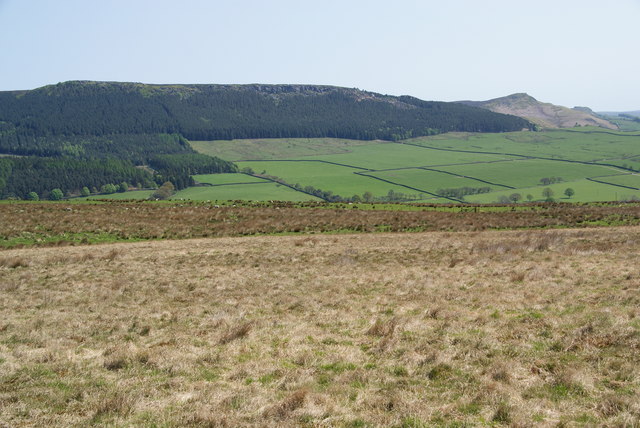
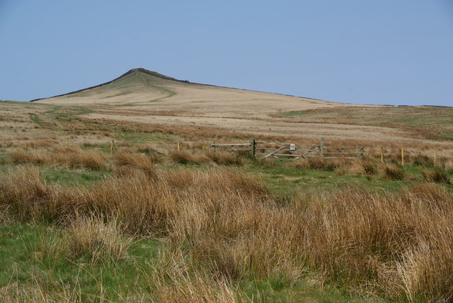
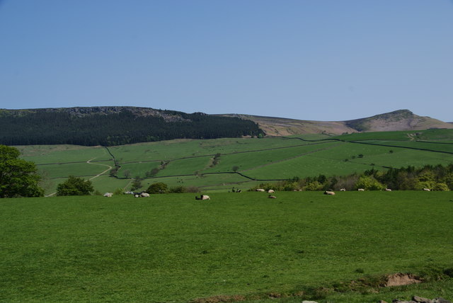
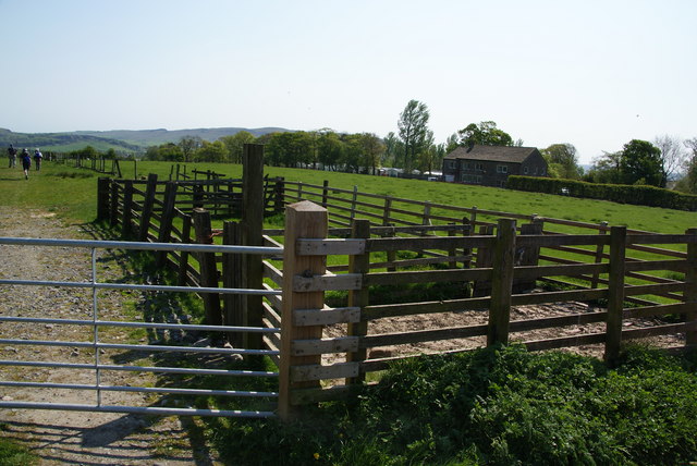
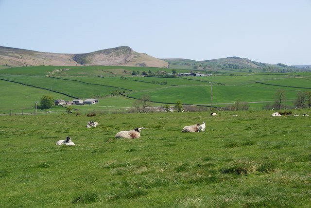
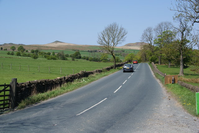
Thorlby is a small village located in the Craven district of North Yorkshire, England. Situated about 3 miles southeast of the market town of Skipton, it falls within the Yorkshire Dales National Park, surrounded by stunning natural beauty. The village is set amidst rolling green hills, offering picturesque views and a tranquil atmosphere.

Thorlby is a close-knit community with a population of around 300 residents. Its origins can be traced back to medieval times, and it maintains a charming, timeless character. The architecture of the village reflects its rich history, with a mix of traditional stone-built houses, cottages, and farmsteads.

The village is known for its strong sense of community, with various local events and activities organized throughout the year. Thorlby has a small primary school, providing education for the local children, and St. Mary's Church serves as the village's place of worship.

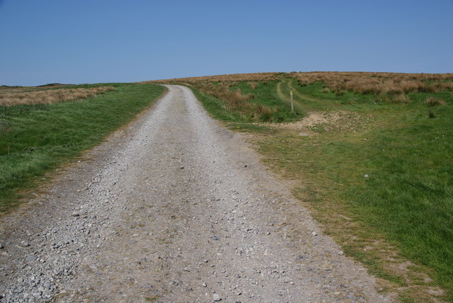
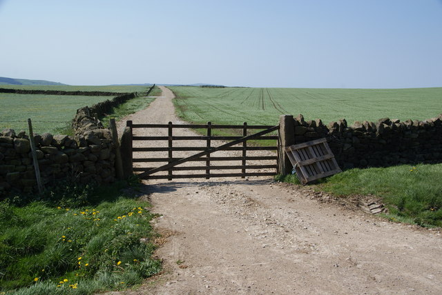
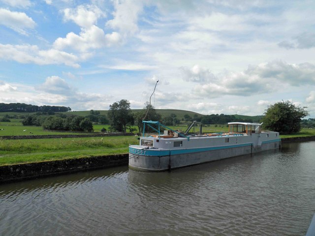
For outdoor enthusiasts, Thorlby offers ample opportunities for exploration and leisure. The surrounding countryside provides numerous walking trails, perfect for those seeking to immerse themselves in nature. The nearby River Aire also offers fishing and boating activities.

While Thorlby itself is a quiet village, it benefits from its proximity to Skipton, which provides a range of amenities including shops, restaurants, and leisure facilities. The village is well-connected by road, with the A59 passing nearby, making it easily accessible for both residents and visitors.

In summary, Thorlby is a picturesque village nestled in the Yorkshire Dales, with a close-knit community, rich history, and abundant natural beauty. It offers a peaceful retreat for those seeking a slower pace of life while still providing easy access to nearby amenities.

If you have any feedback on the listing, please let us know in the comments section below.

Thorlby Images

Images are sourced within 2km of 53.971287/-2.054269 or Grid Reference SD9652. Thanks to Geograph Open Source API. All images are credited.

On Skyrakes Looking east. You can just see the green strip which is the farmland around Skyrakes Farm. On the opposite side of the valley is Crookrise Wood and Crookrise Crag above it, with Embsay Crag over to the right.
On Skyrakes
Looking east. You can just see the green strip which is the farmland around Skyrakes Farm. On the opposite side of the valley is Crookrise Wood and Crookrise Crag above it, with Embsay Crag over to the right.
The beginning of access land on Skyrakes The access land begins at the gate, but there isn't a major difference in terrain. Behind is Sharp Haw.
The beginning of access land on Skyrakes
The access land begins at the gate, but there isn't a major difference in terrain. Behind is Sharp Haw.
Path to Sharp Haw leaves the track The track is essential for forestry access to Crag Wood.
Path to Sharp Haw leaves the track
The track is essential for forestry access to Crag Wood.
Fields with spring planting I couldn't identify the crop from this distance.
Fields with spring planting
I couldn't identify the crop from this distance.
Sheep field above Stirton Looking north east towards Embsay Crag.
Sheep field above Stirton
Looking north east towards Embsay Crag.
Sheepfold near Tarn House
Another field, more sheep Not far off the Grassington Road which is in the dip.
Another field, more sheep
Not far off the Grassington Road which is in the dip.
Grassington Road Skipton calls itself the gateway to the Dales, but this road is more so. Views of Sharp Haw and Rough Haw straight ahead aid the anticipation.
Grassington Road
Skipton calls itself the gateway to the Dales, but this road is more so. Views of Sharp Haw and Rough Haw straight ahead aid the anticipation.
Loading Bays at Craven Cattle Market The livestock market complex is very large, modern and well equipped with state of the art fittings.
Loading Bays at Craven Cattle Market
The livestock market complex is very large, modern and well equipped with state of the art fittings.
Inside Craven Cattle Market It's the annual show and sale of Limousin cattle.
The judges have selected these finalists and are about to award rosettes to the top three.
Inside Craven Cattle Market
It's the annual show and sale of Limousin cattle. The judges have selected these finalists and are about to award rosettes to the top three.
Auction ring at CCM The pedigree Limousin sale, May 2011
Since being young calves, the bulls have been trained to walk quietly alongside their owner when on a rope halter.
Most are remarkably docile considering the noisey market and other bulls must be very strange to them.
Auction ring at CCM
The pedigree Limousin sale, May 2011 Since being young calves, the bulls have been trained to walk quietly alongside their owner when on a rope halter. Most are remarkably docile considering the noisey market and other bulls must be very strange to them.
Car Park, Skipton Auction Mart There is a table top sale today organised by the NCT.
Car Park, Skipton Auction Mart
There is a table top sale today organised by the NCT.
Skipton Travelodge and Burger King
Industrial chimney alongside the Leeds Liverpool canal Skipton
Barn alongside the Leeds Liverpool canal Skipton
Niffany swing bridge on the Leeds Liverpool canal Leaving Skipton en route to Gargrave.
Niffany swing bridge on the Leeds Liverpool canal
Leaving Skipton en route to Gargrave.
The vessel Harvest on the Leeds Liverpool canal
Bridge 173 Highgate bridge on the Leeds Liverpool canal
Show me another place!

Thorlby is located at Grid Ref: SD9652 (Lat: 53.971287, Lng: -2.054269)

Division: West Riding

Administrative County: North Yorkshire

District: Craven

Police Authority: North Yorkshire

What 3 Words

///vocals.nips.sank. Near Skipton, North Yorkshire

Related Wikis

Stirton with Thorlby

Stirton with Thorlby is a civil parish in the Craven district of North Yorkshire, England. The parish includes the settlements of Stirton and Thorlby....

Craven College

Craven College is a further education college based in Skipton, North Yorkshire, England. Craven offers a variety of further and higher education courses...

The Skipton Academy

The Skipton Academy (formerly Aireville School) is a small rural 11–16 coeducational secondary school located in Skipton, North Yorkshire, England.Previously...

Moor Music Festival

The Moor Music Festival was an annual music festival held initially on a farm in Addingham Moorside, near the town of Ilkley, West Yorkshire. For the 2009...

Nearby Amenities

Located within 500m of 53.971287,-2.054269
Thorlby
Is In Country Code: GB
Is In County: North Yorkshire
Is In Municipality: Craven
Place: village
Source: npe
Wikidata: Q7617620
Wikipedia: en:Stirton with Thorlby
Lat/Long: 53.9716198/-2.0536527
Phone
Emergency: phone
Ref: 32A
Lat/Long: 53.9715534/-2.0593948
Hoober Hill
Description: Part of Skipton drumlin field
Geomorphology: drumlin
Natural: peak
Source: OS 1:25k
Lat/Long: 53.9673032/-2.0566997
Langer Hill
Geomorphology: drumlin
Natural: peak
Source: OS 1:25k
Lat/Long: 53.9696509/-2.0509919
Cock Hill
Natural: peak
Source: OS 1:25k
Lat/Long: 53.9718596/-2.0491466
Parking
Capacity: 8
Fee: no
Parking: surface
Lat/Long: 53.9716523/-2.0597103
Bench
Source: survey
Lat/Long: 53.971242/-2.0548341
Place Of Worship
Note: Dilapidated building, probably disused
Source: survey
Lat/Long: 53.9716396/-2.0527044
The Bay Horse Inn
Historic Amenity: pub
Source: OS sheet 167,publ 1853
Lat/Long: 53.971526/-2.0547107
Traffic Signals
Note: Cattle crossing
Traffic Signals: crossing
Traffic Signals Direction: backward
Lat/Long: 53.971414/-2.0593322
Traffic Signals
Note: Cattle crossing
Traffic Signals: crossing
Traffic Signals Direction: forward
Lat/Long: 53.9713231/-2.0590977
Information: guidepost
Tourism: information
Lat/Long: 53.9713736/-2.0594233
The data included in this document is from www.openstreetmap.org. The data is made available under ODbL.

Have you been to Thorlby?

Leave your review of Thorlby below (or comments, questions and feedback).