Thorington
Settlement in Suffolk East Suffolk
England
Thorington

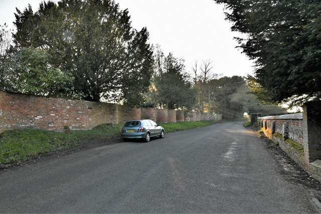
Thorington is a small village situated in the county of Suffolk, England. Located approximately 6 miles south of the market town of Halesworth, it is nestled within the idyllic countryside of the Suffolk Coastal District. The village is surrounded by picturesque farmland and enjoys a tranquil setting.
Thorington is home to a close-knit community, with a population of around 200 residents. The village consists of a scattering of traditional, quaint cottages, some of which date back several centuries. These historic buildings add to the charm and character of the village, attracting visitors who appreciate its rich heritage.
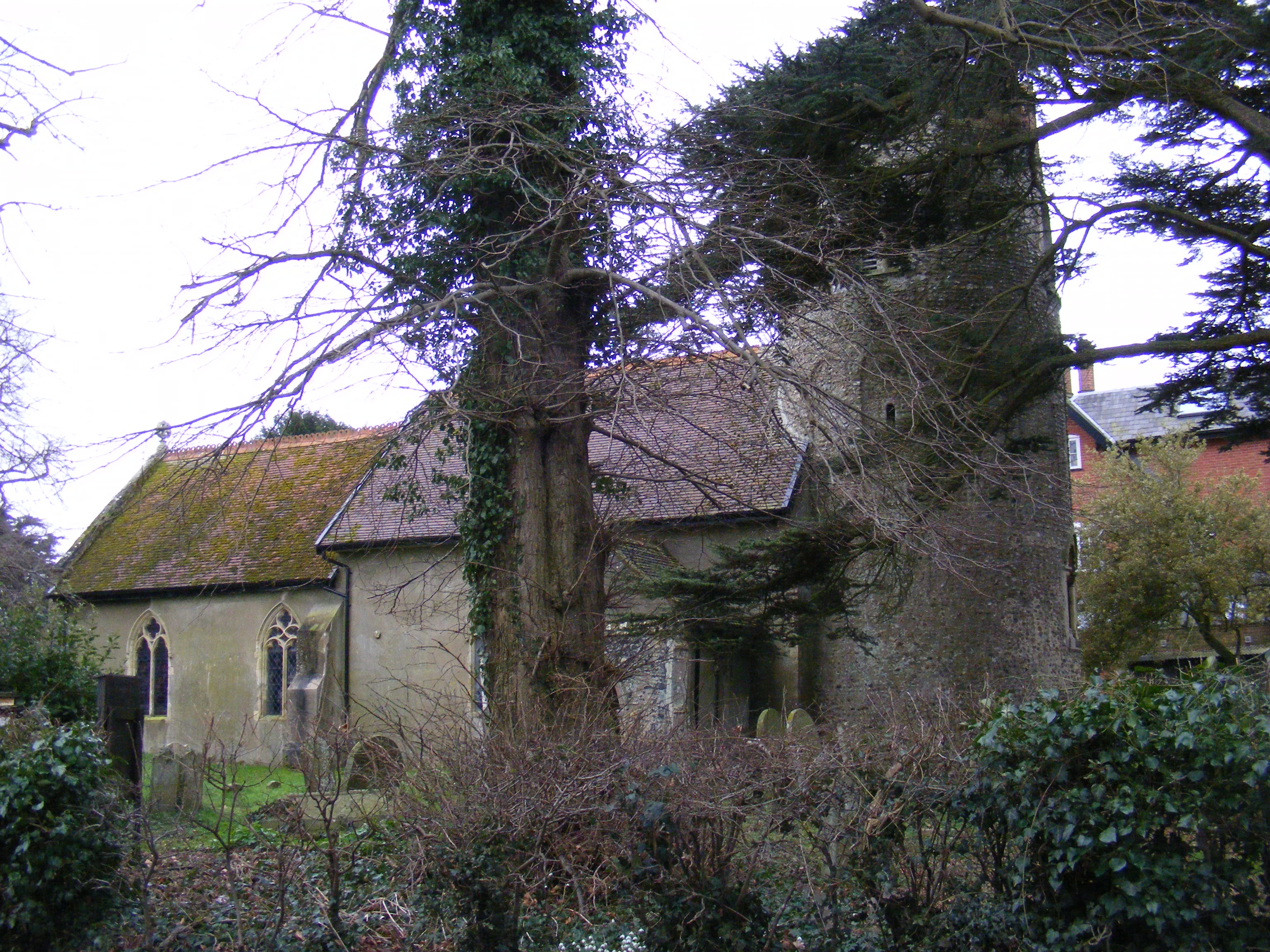
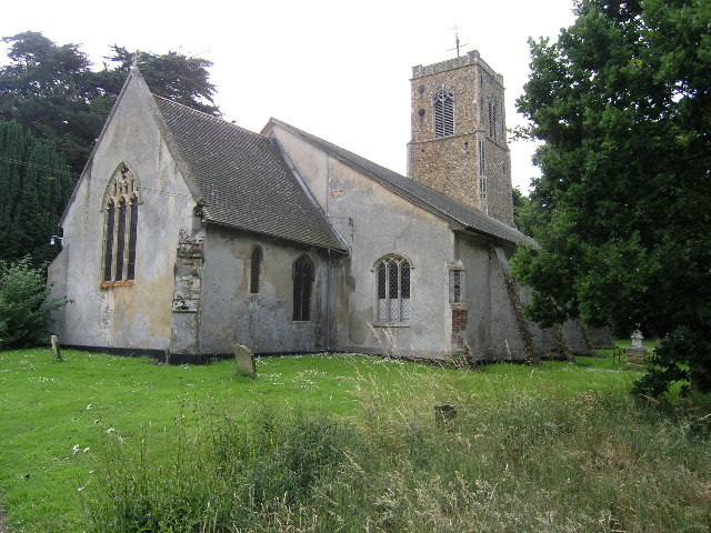
One of the notable features of Thorington is its beautiful parish church, St. Peter's Church. This Grade II listed building dates back to the 14th century and showcases stunning architectural details, including a striking tower. The church serves as a focal point for local religious activities and also hosts occasional community events.
In terms of amenities, Thorington offers limited facilities. The absence of shops or schools within the village means residents must travel to nearby towns for everyday necessities. However, this lack of commercialization contributes to the peaceful and rural atmosphere that residents and visitors alike appreciate.
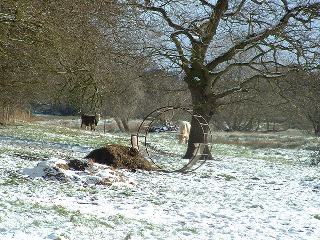
Thorington is a haven for nature enthusiasts, with several walking and cycling trails in the surrounding countryside. The village boasts breathtaking views and provides opportunities for outdoor activities such as birdwatching and wildlife spotting.
Overall, Thorington, Suffolk, is a charming and tranquil village that offers a peaceful retreat from the hustle and bustle of modern life. Its historical buildings, natural beauty, and tight-knit community make it an appealing destination for those seeking a slower pace of life.
If you have any feedback on the listing, please let us know in the comments section below.
Thorington Images
Images are sourced within 2km of 52.312747/1.546077 or Grid Reference TM4174. Thanks to Geograph Open Source API. All images are credited.


Thorington is located at Grid Ref: TM4174 (Lat: 52.312747, Lng: 1.546077)
Administrative County: Suffolk
District: East Suffolk
Police Authority: Suffolk
What 3 Words
///headache.released.doubts. Near Halesworth, Suffolk
Nearby Locations
Related Wikis
Thorington
Thorington is a village and a civil parish in the hundred of Blything, in the East Suffolk district of the English county of Suffolk. It is located around...
Church Farm Marshes
Church Farm Marshes is a 56 hectare nature reserve in Thorington in Suffolk. It is managed by the Suffolk Wildlife Trust.This site has areas of marshland...
Wenhaston
Wenhaston is a village situated to the south of the River Blyth in northeastern Suffolk, England. In 2018 it had an estimated population of 563. ��2�...
Wenhaston with Mells Hamlet
Wenhaston with Mells Hamlet is a civil parish in the East Suffolk district, in the county of Suffolk, England. The population at the 2011 Census was 801...
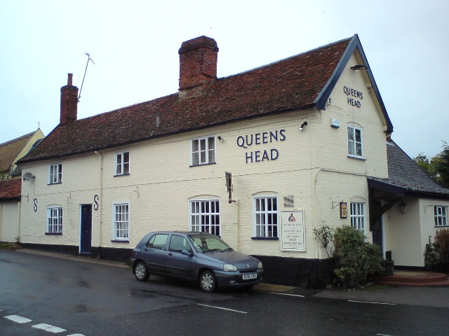
Queen's Head, Bramfield
The Queen's Head is a pub in Bramfield, Suffolk, England. The pub was formerly known as the "Skeltons". It is a Grade II listed building, which dates back...
Bramfield, Suffolk
Bramfield is a village and civil parish in the east of the English county of Suffolk, and in the East Suffolk district. It is 5 miles (8.0 km) south of...
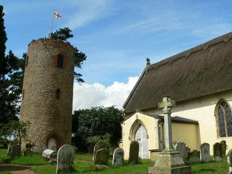
St Andrew's Church, Bramfield
St Andrew's Church is a 13th-century church in Bramfield, Suffolk. It has a separate 12th-century tower standing in the church grounds. It is one of 38...
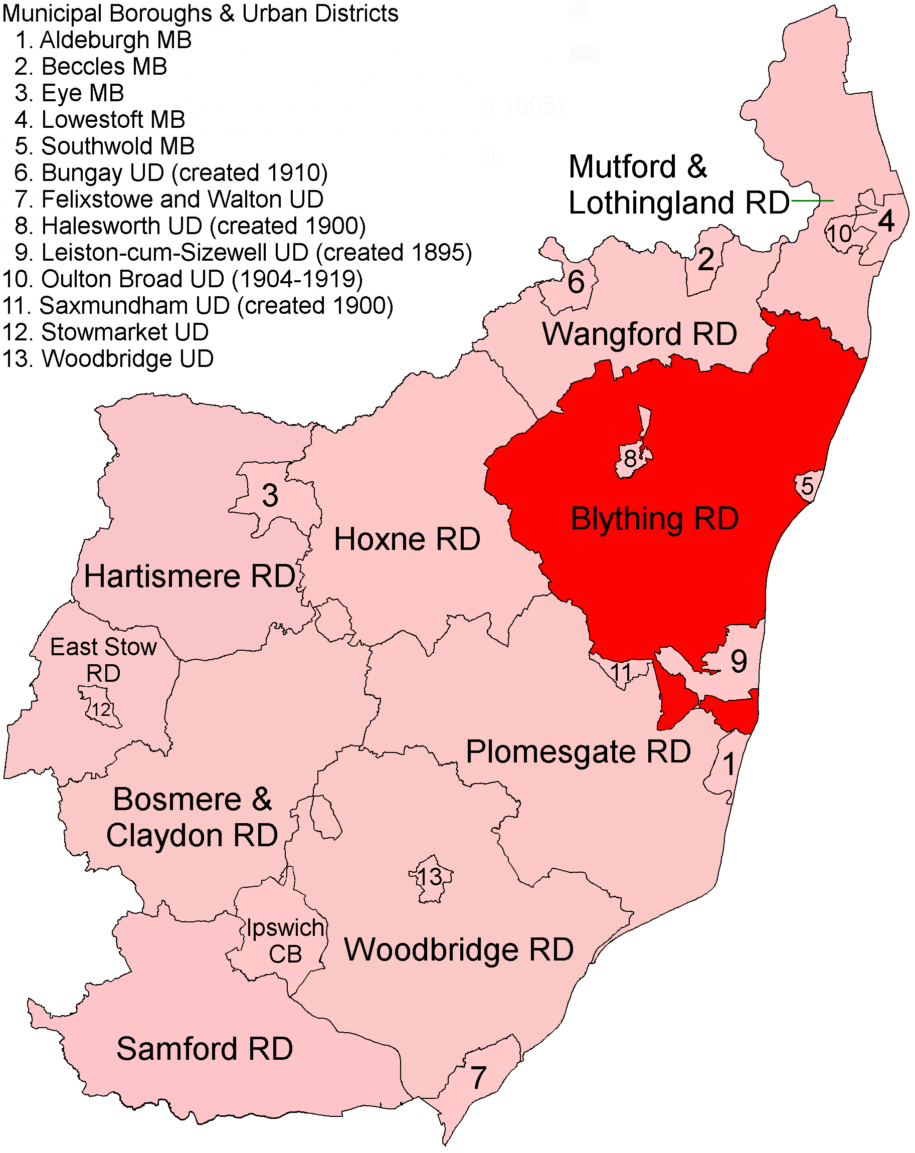
Blything Rural District
Blything Rural District was a rural district within the administrative county of East Suffolk between 1894 and 1934. == Evolution == The district had its...
Nearby Amenities
Located within 500m of 52.312747,1.546077Have you been to Thorington?
Leave your review of Thorington below (or comments, questions and feedback).