The Valley
Settlement in Cheshire
England
The Valley
The Valley is a small village located in the county of Cheshire, England. Situated in the lush and picturesque Cheshire countryside, it is nestled between the towns of Congleton and Macclesfield. The village is part of the civil parish of Prestbury and falls within the Cheshire East local government district.
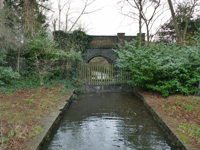
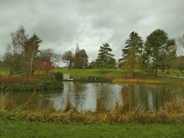
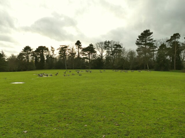
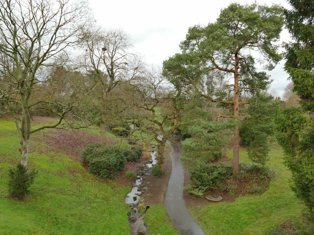
With a population of around 1,500 residents, The Valley maintains a close-knit community atmosphere. The village is known for its charming and well-preserved traditional English cottages, which add to its idyllic appeal. The surrounding landscape is dominated by rolling green hills, open fields, and meandering streams, offering residents and visitors a tranquil and scenic environment.
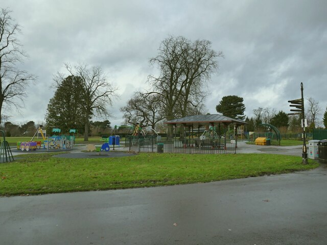
Despite its small size, The Valley boasts several amenities to serve its inhabitants. These include a local pub, a village hall, and a small selection of shops. Additionally, the village is home to a primary school, providing education to the younger residents of the area.
The Valley is well-positioned for outdoor enthusiasts, as it offers easy access to various walking trails and nature reserves. The nearby Peak District National Park is a popular destination for hiking, cycling, and exploring the stunning natural beauty of the region.
Transport links in The Valley are convenient, with regular bus services connecting the village to neighboring towns and villages. The nearby towns of Congleton and Macclesfield provide further amenities, including supermarkets, leisure facilities, and a wider range of shops and restaurants.
In summary, The Valley in Cheshire is a charming and peaceful village, surrounded by beautiful countryside, offering a close-knit community, amenities, and easy access to outdoor activities.
If you have any feedback on the listing, please let us know in the comments section below.
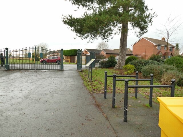
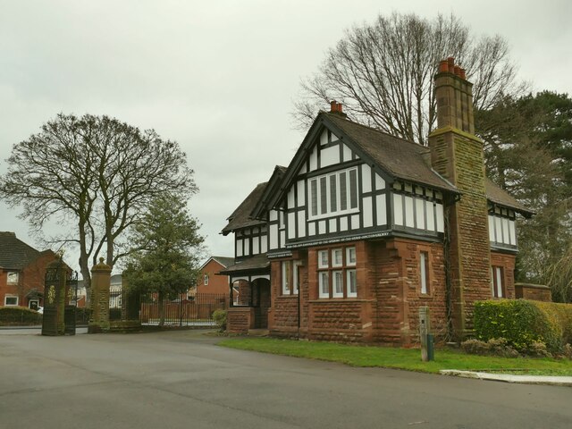
The Valley Images
Images are sourced within 2km of 53.096254/-2.45844 or Grid Reference SJ6955. Thanks to Geograph Open Source API. All images are credited.
The Valley is located at Grid Ref: SJ6955 (Lat: 53.096254, Lng: -2.45844)
Unitary Authority: Cheshire East
Police Authority: Cheshire
What 3 Words
///gums.await.cable. Near Crewe, Cheshire
Nearby Locations
Related Wikis

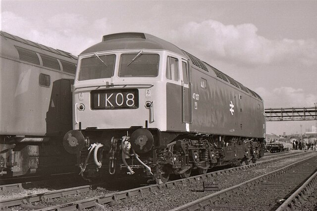
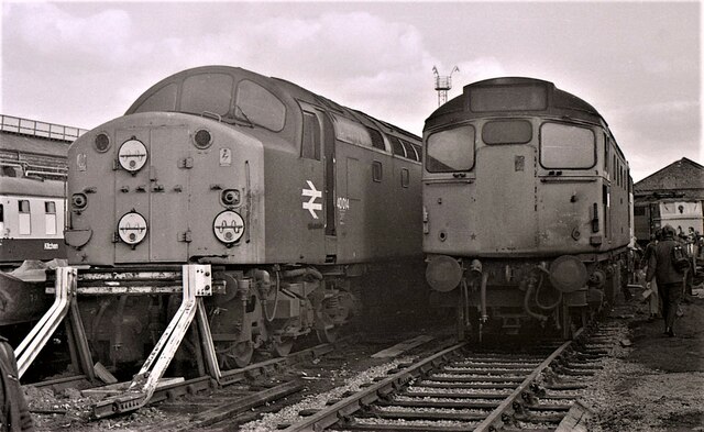
Crewe Electric TMD
Crewe Electric TMD (officially named Crewe IEMD – International Electric Maintenance Depot) is a traction maintenance depot for AC electric and diesel...
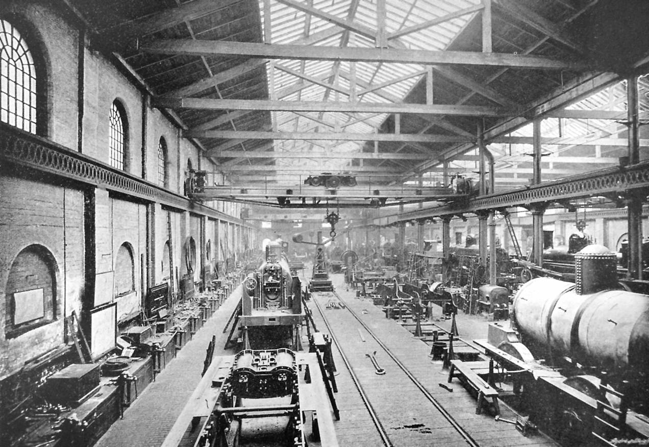
Crewe Works
Crewe Works is a British railway engineering facility located in the town of Crewe, Cheshire. The works, which was originally opened by the Grand Junction...

The Oaks Academy
The Oaks Academy (formerly King's Grove High School) is a mixed secondary school located on Buchan Grove in Crewe, Cheshire, England. == History == �...

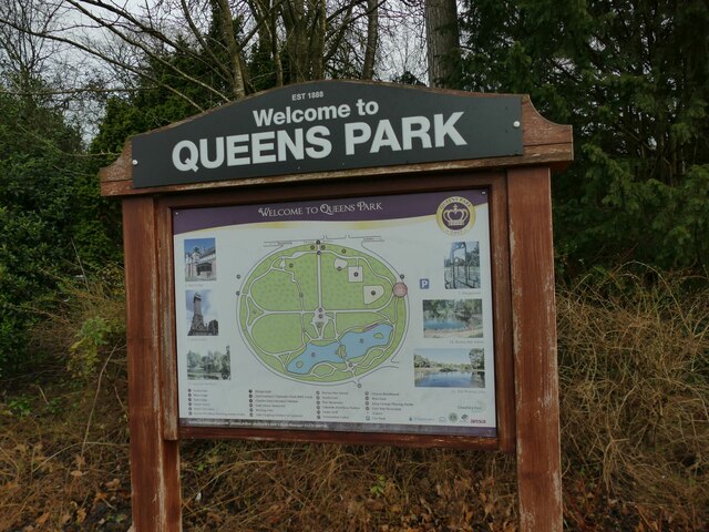
Clock Tower, Crewe
The Clock Tower stands near the north entrance to Queen's Park, Crewe, in Cheshire, England. The park was given to the residents of the town by the London...
Nearby Amenities
Located within 500m of 53.096254,-2.45844Have you been to The Valley?
Leave your review of The Valley below (or comments, questions and feedback).