The Sale

Settlement in Staffordshire Lichfield

England

The Sale

Fradley Canal Junction Fradley Junction on the Trent and Mersey Canal, looking south-west from Lock 17. The Coventry Canal leads off to the left.
Fradley Canal Junction Credit: Martin Clark

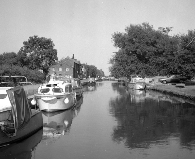
The Sale is a small village located in the county of Staffordshire, England. Situated near the town of Newcastle-under-Lyme, The Sale is renowned for its picturesque countryside and tranquil atmosphere. The village is situated in a rural setting, characterized by rolling hills, lush green fields, and charming country lanes.

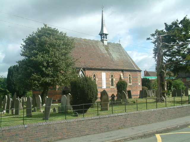
The Sale is home to a close-knit community, with a population of around 500 residents. The village exudes a strong sense of community spirit, with regular events and activities organized by local organizations and societies. The residents take pride in maintaining the village's beauty, and the well-kept gardens and traditional architecture contribute to its charm.

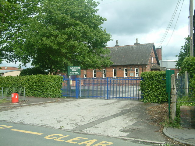
The Sale offers a range of amenities to its residents, including a pub, a primary school, and a village hall. The pub serves as a gathering place for locals and visitors alike, offering a warm and friendly environment. The primary school provides education for children in the village, fostering a nurturing and supportive environment for their development. The village hall hosts various events and activities, such as community meetings, social gatherings, and clubs.

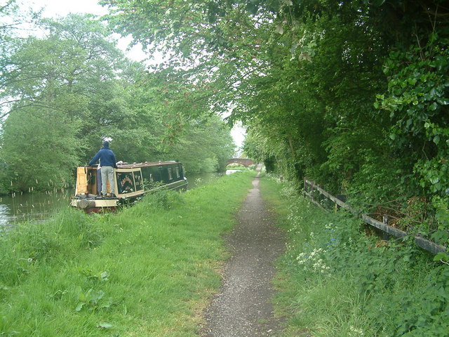
The surrounding area of The Sale offers ample opportunities for outdoor activities, with numerous walking trails and cycling routes. The village is also in close proximity to several nature reserves and parks, providing residents with the chance to explore the natural beauty of Staffordshire.

Overall, The Sale is a picturesque village that offers a peaceful and close-knit community, making it an ideal place for those seeking a rural lifestyle in Staffordshire.

If you have any feedback on the listing, please let us know in the comments section below.
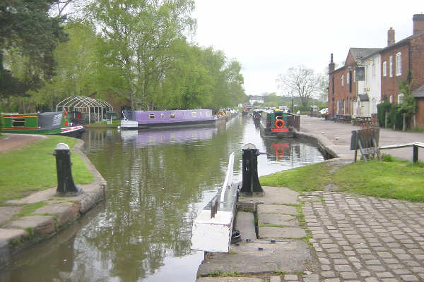
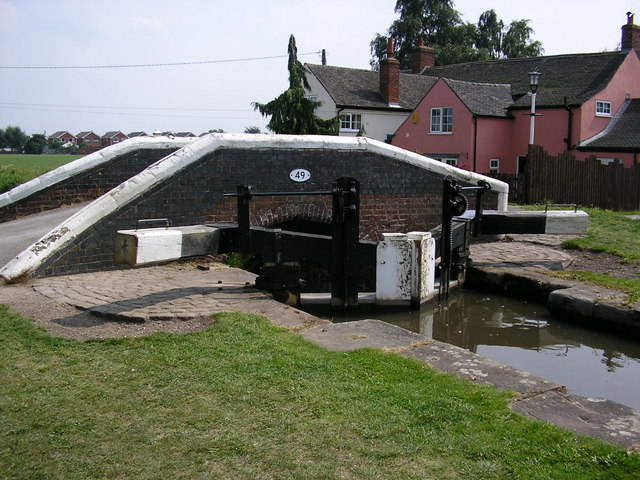
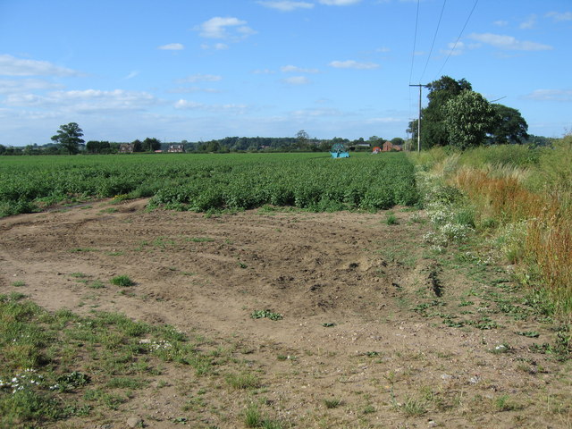
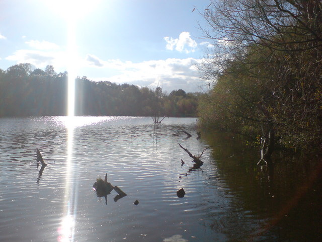
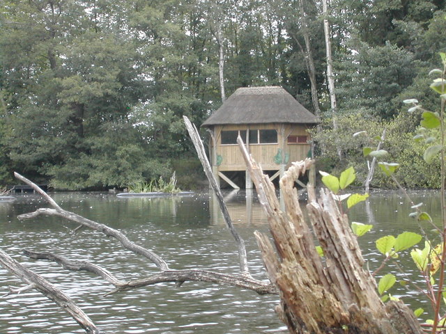
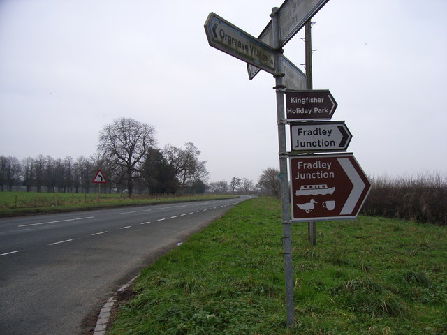
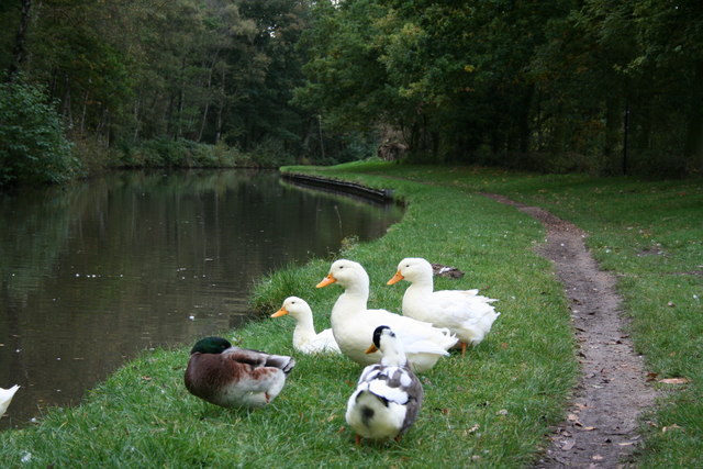
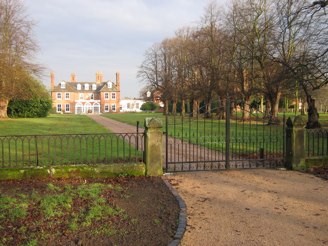
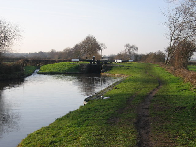
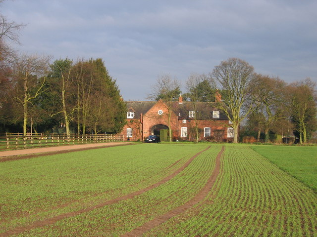
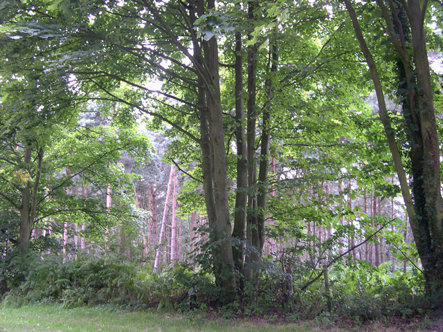
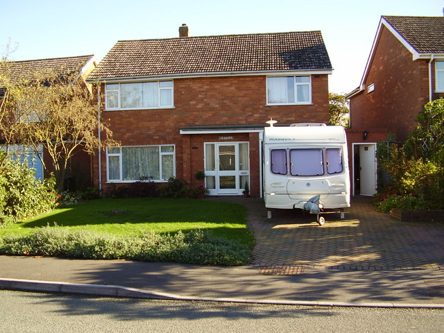
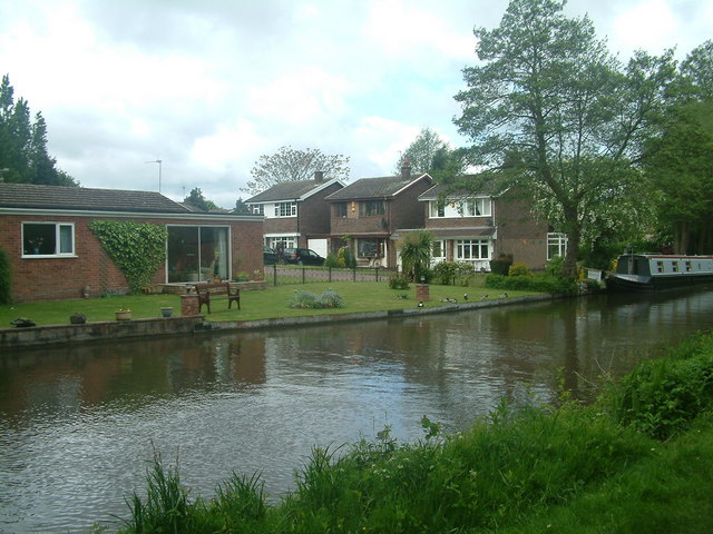
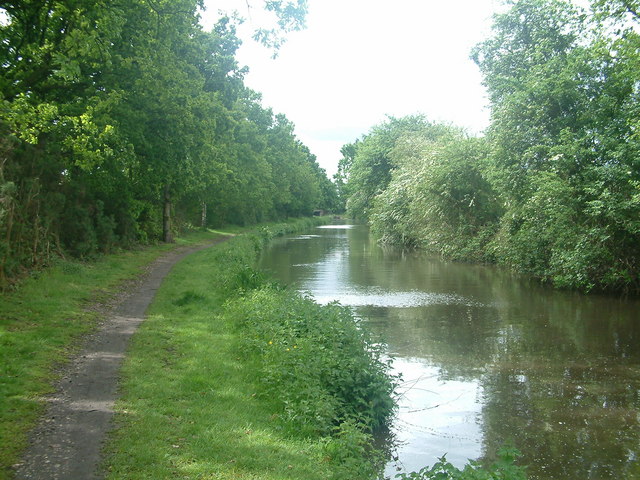
The Sale Images

Images are sourced within 2km of 52.724136/-1.77861 or Grid Reference SK1514. Thanks to Geograph Open Source API. All images are credited.

Fradley Canal Junction Fradley Junction on the Trent and Mersey Canal, looking south-west from Lock 17. The Coventry Canal leads off to the left.
Fradley Canal Junction
Fradley Junction on the Trent and Mersey Canal, looking south-west from Lock 17. The Coventry Canal leads off to the left.
Bagnall Lock Lock No. 13 of the Trent and Mersey Canal with Bridge 49 behind it. The bridge looks as though it is original, so why on earth did they build the lock and bridge so close together that the balance beams have had to be given a 90 degree bend to prevent them fouling the bridge.
Bagnall Lock
Lock No. 13 of the Trent and Mersey Canal with Bridge 49 behind it. The bridge looks as though it is original, so why on earth did they build the lock and bridge so close together that the balance beams have had to be given a 90 degree bend to prevent them fouling the bridge.
Potato field at Overley, near Alrewas, Staffordshire. Main crop potatoes growing in a field alongside the A513 at Overley, between King's Bromley and Alrewas. A pair of irrigation hose reels can clearly be seen.
Potato field at Overley, near Alrewas, Staffordshire.
Main crop potatoes growing in a field alongside the A513 at Overley, between King's Bromley and Alrewas. A pair of irrigation hose reels can clearly be seen.
Reclaimed woodland and lake next to the Trent & Mersey canal at Fradley Junction The canal is only 100m from this 'new' beautiful wood and lake
Reclaimed woodland and lake next to the Trent & Mersey canal at Fradley Junction
The canal is only 100m from this 'new' beautiful wood and lake
Fradley Reservoir Looking SE across Fradley Reservoir to the bird watching hide. This reservoir was built by the Trent & Mersey Canal Co. in order that water flowing from the lock to the west would bypass the canal junction and be fed back into the T & M canal below the lock to the east. Thus, avoiding gifting the water to the Coventry Canal Co..
Fradley Reservoir
Looking SE across Fradley Reservoir to the bird watching hide. This reservoir was built by the Trent & Mersey Canal Co. in order that water flowing from the lock to the west would bypass the canal junction and be fed back into the T & M canal below the lock to the east. Thus, avoiding gifting the water to the Coventry Canal Co..
A513 junction near Orgreave Looking SE towards A38
A513 junction near Orgreave
Looking SE towards A38
Coventry Canal near Fradley Junction couldn't persuade all the ducks to keep still.
Coventry Canal near Fradley Junction
couldn't persuade all the ducks to keep still.
View of Orgreave Hall near Alrewas Formerly a seat of the Viscounts Anson, the hall is now a residential care home.
View of Orgreave Hall near Alrewas
Formerly a seat of the Viscounts Anson, the hall is now a residential care home.
Common Lock Trent and Mersey canal
Coachhouse near to Orgreave Hall
Fradley Wood, north of the Trent and Mersey Canal The canal divides Fradley Wood (mixed) into two sections, the smaller of which is accessible from the towpath, as shown.
Fradley Wood, north of the Trent and Mersey Canal
The canal divides Fradley Wood (mixed) into two sections, the smaller of which is accessible from the towpath, as shown.
28 Long Lane, Fradley, Lichfield, Staffordshire
Fradley Junction, Trent and Mersey Canal This is the point where the north end of the Coventry Canal makes a T-junction with the Trent and Mersey, the actual point of the junction being some distance down on the right, before reaching Junction Lock which is visible in the distance.  The 'Swan' public house is seen on the left.
Fradley Junction, Trent and Mersey Canal
This is the point where the north end of the Coventry Canal makes a T-junction with the Trent and Mersey, the actual point of the junction being some distance down on the right, before reaching Junction Lock which is visible in the distance. The 'Swan' public house is seen on the left.
St Stephen's Church Fradley St  Stephen's Church viewed from the opposite side of the road.
St Stephen's Church Fradley
St Stephen's Church viewed from the opposite side of the road.
St Stephen's Primary School, Fradley
Canal boat approaching Fradley Bridge Taken from the canal footpath at the point the public footpath from Fradley Church joins the canal towpath. This canal boat approaches Fradley Bridge seen in the distance.
Canal boat approaching Fradley Bridge
Taken from the canal footpath at the point the public footpath from Fradley Church joins the canal towpath. This canal boat approaches Fradley Bridge seen in the distance.
Canal side properties Some of the properties on the side of the Coventry Canal at Fradley. Taken from the opposite bank  where the footpath from Fradley joins the towpath.
Canal side properties
Some of the properties on the side of the Coventry Canal at Fradley. Taken from the opposite bank where the footpath from Fradley joins the towpath.
Towpath to Bell Bridge on the Coventry Canal Heading South from Fradley on the Coventry Canal, Bell Bridge can just be seen appearing in the far distance.
Towpath to Bell Bridge on the Coventry Canal
Heading South from Fradley on the Coventry Canal, Bell Bridge can just be seen appearing in the far distance.
Show me another place!

The Sale is located at Grid Ref: SK1514 (Lat: 52.724136, Lng: -1.77861)

Administrative County: Staffordshire

District: Lichfield

Police Authority: Staffordshire

What 3 Words

///regulator.beginning.lordship. Near Alrewas, Staffordshire

Nearby Locations

The Sale Sale, The

Related Wikis

Fradley Junction

Fradley Junction (grid reference SK140139) is a canal junction between Fradley and Alrewas near Lichfield, Staffordshire, England and the point at which...

Fradley

Fradley is a village and civil parish, in the Lichfield district, in the county of Staffordshire, England. In 1881 the parish had a population of 380....

RAF Lichfield

Royal Air Force Station Lichfield also known as Fradley Aerodrome, was an operational training station from 1940 until 1958. It was situated in Fradley...

Alrewas and Fradley

Alrewas and Fradley, was a large civil parish in the Lichfield district of Staffordshire, England. The parish included the villages of Alrewas, Fradley...

Nearby Amenities

Located within 500m of 52.724136,-1.77861
Colour: red and white
Marker: aerial
Material: plastic
Utility: gas
Lat/Long: 52.720513/-1.7807619
Colour: red and white
Marker: aerial
Material: plastic
Utility: gas
Lat/Long: 52.7215927/-1.7834146
Colour: red and white
Marker: aerial
Material: plastic
Utility: gas
Lat/Long: 52.7217371/-1.7834738
Colour: red and white
Marker: aerial
Material: plastic
Utility: gas
Lat/Long: 52.7226906/-1.7833526
Noexit: yes
Lat/Long: 52.7218585/-1.7751347
Barrier: stile
Material: wood
Steadying Post: yes
Step Count: 1
Stile: stepover
Wheelchair: no
Lat/Long: 52.7247998/-1.7754818
The data included in this document is from www.openstreetmap.org. The data is made available under ODbL.

Have you been to The Sale?

Leave your review of The Sale below (or comments, questions and feedback).