The Ridge
Settlement in Wiltshire
England
The Ridge
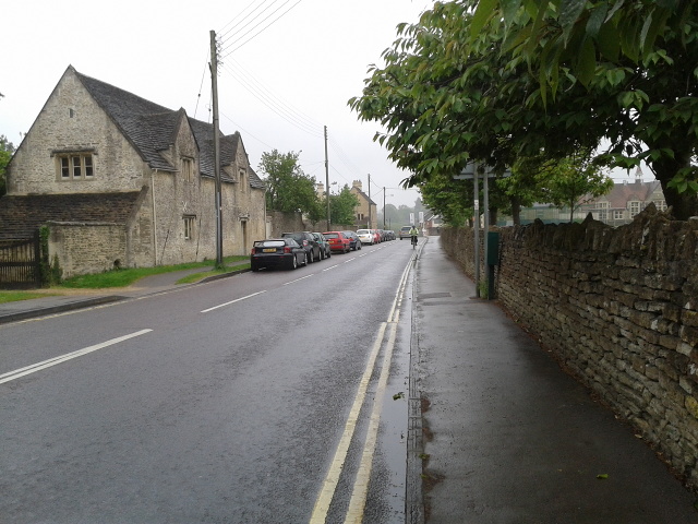
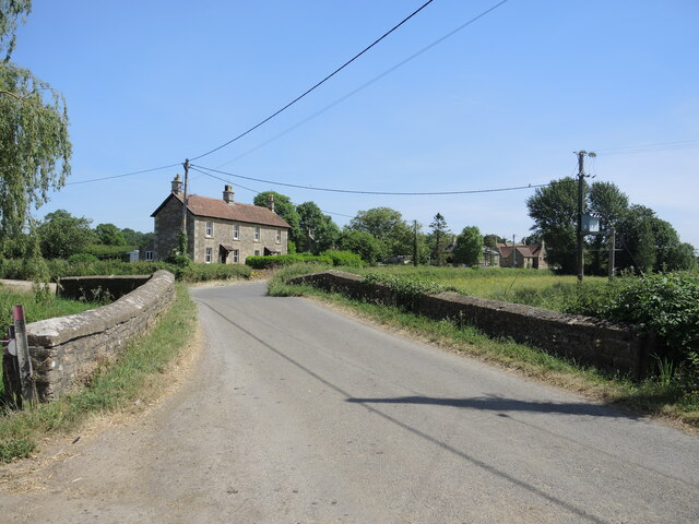
The Ridge is a picturesque village located in the county of Wiltshire, England. Situated on a gently sloping hill, it offers panoramic views of the surrounding countryside, making it a popular destination for nature lovers and outdoor enthusiasts.
The village is characterized by its charming cottages and well-maintained gardens, creating a quaint and idyllic atmosphere. It is known for its sense of community, with residents actively involved in local events and initiatives.
The Ridge is home to a range of amenities, including a local pub, a post office, and a village hall that hosts various social gatherings and events throughout the year. The village also has a primary school, providing education to the local children.
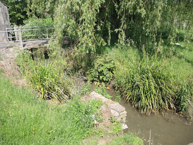
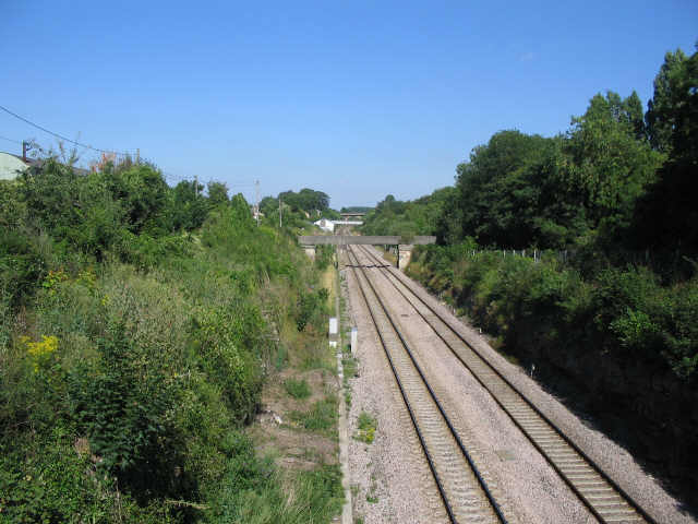
Nature plays a significant role in the village's appeal, with numerous walking trails and cycling routes in the area. The nearby countryside offers opportunities for exploration and outdoor activities, making it an ideal place for those seeking a peaceful and rural lifestyle.
The Ridge is conveniently located near the town of Marlborough, which provides residents with access to a wider range of amenities, including shops, supermarkets, and healthcare facilities. The village is also well-connected to neighboring towns and cities via road links, allowing for easy commuting and travel.
Overall, The Ridge in Wiltshire is a charming and scenic village that offers residents a tranquil and close-knit community, surrounded by beautiful countryside and with convenient access to nearby amenities.
If you have any feedback on the listing, please let us know in the comments section below.
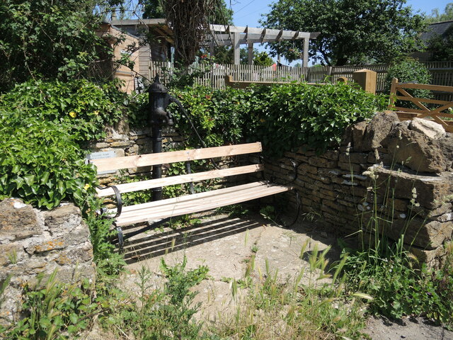
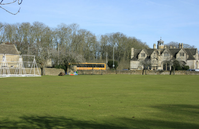
The Ridge Images
Images are sourced within 2km of 51.412355/-2.183587 or Grid Reference ST8768. Thanks to Geograph Open Source API. All images are credited.


The Ridge is located at Grid Ref: ST8768 (Lat: 51.412355, Lng: -2.183587)
Unitary Authority: Wiltshire
Police Authority: Wiltshire
What 3 Words
///snowy.modules.vital. Near Neston, Wiltshire
Nearby Locations
Related Wikis
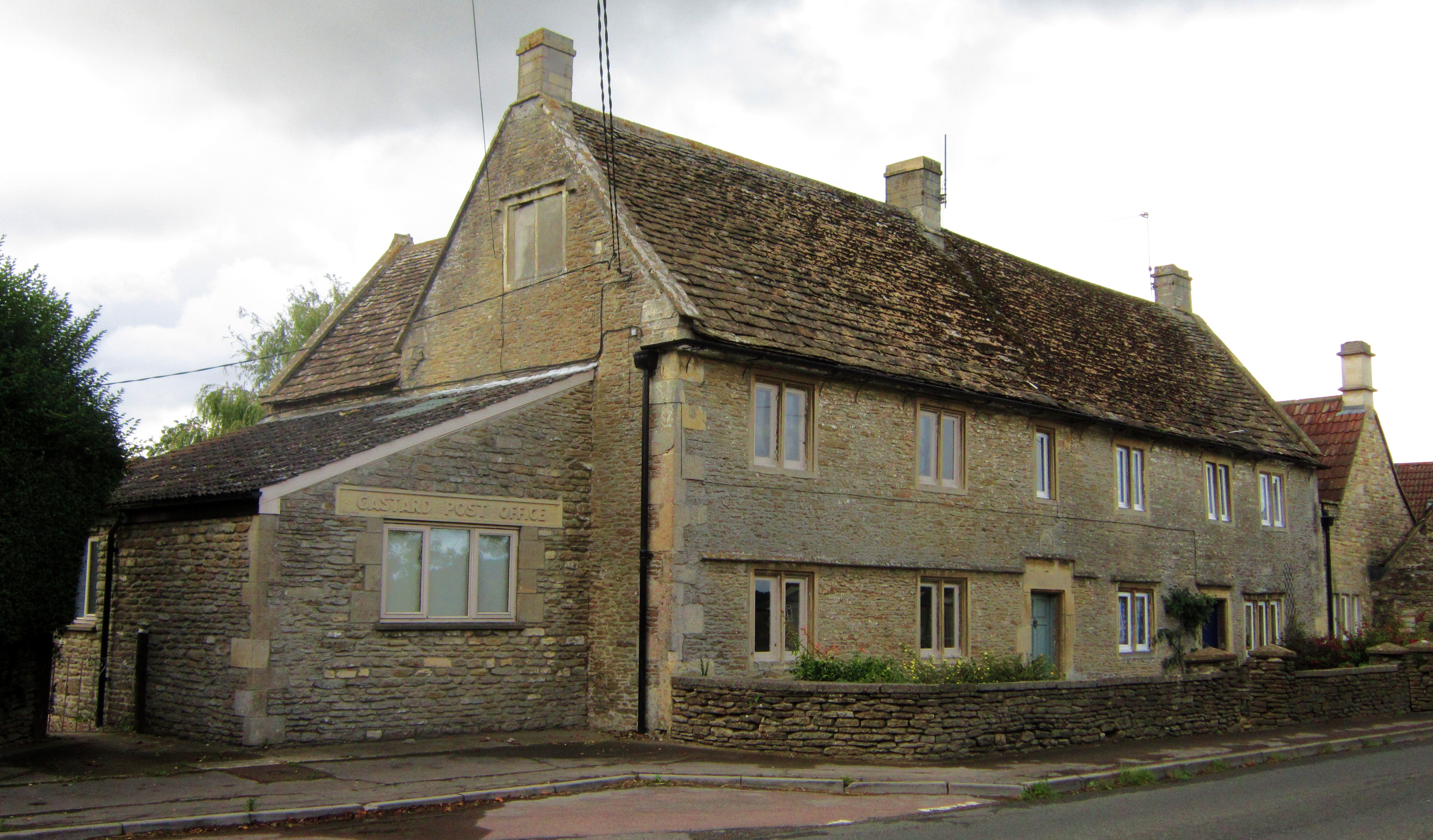
Gastard
Gastard is a village in Wiltshire, England, four miles south west of Chippenham, part of the civil parish of the nearby town of Corsham. The village has...

Corsham railway station
Corsham railway station served the town of Corsham in Wiltshire, England, between 1841 and 1965. Feasibility studies for the reopening of the station have...
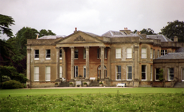
Neston Park
Neston Park is an English country house and estate in the village of Neston, some 2 miles (3 km) south of Corsham, Wiltshire. The name of the village of...
Corsham Railway Cutting
Corsham Railway Cutting (grid reference ST862695) is a 6.6 hectare geological Site of Special Scientific Interest in Wiltshire, England, notified in 1971...

Corsham Limestone Formation
The Corsham Limestone Formation is a geological formation in England. It is part of the Great Oolite Group and was deposited in the Bathonian stage of...
The Corsham School
The Corsham School is a large secondary school, with a sixth form, in Corsham, Wiltshire, England. The school has academy status, and as of January 2022...

Whitley, Wiltshire
Whitley is a village in the civil parish of Melksham Without, Wiltshire, England. It had a population of 1,914 in the 2011 census. This parish was formed...
Corsham Town F.C.
Corsham Town Football Club is a football club based in Corsham, Wiltshire, England. The first team plays in the Hellenic League Premier Division. ��2...
Nearby Amenities
Located within 500m of 51.412355,-2.183587Have you been to The Ridge?
Leave your review of The Ridge below (or comments, questions and feedback).