The Pound
Settlement in Gloucestershire Forest of Dean
England
The Pound
The Pound is a charming village located in Gloucestershire, England. Situated in the picturesque Cotswold region, it is known for its idyllic countryside setting, historic architecture, and welcoming community.
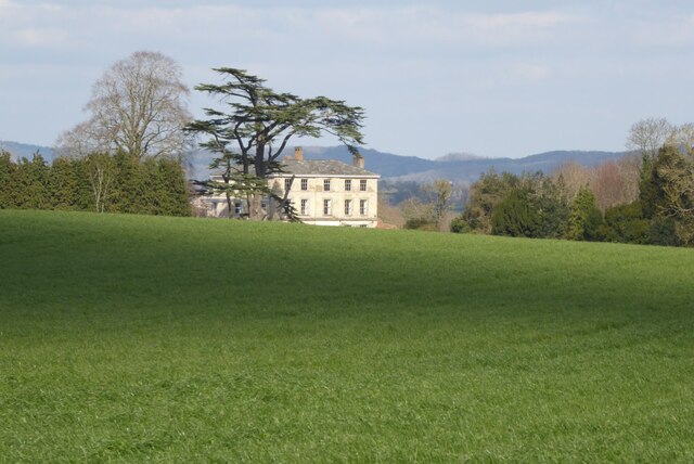
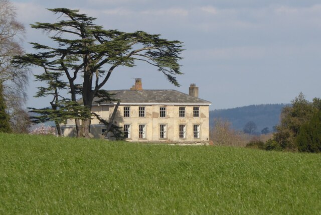
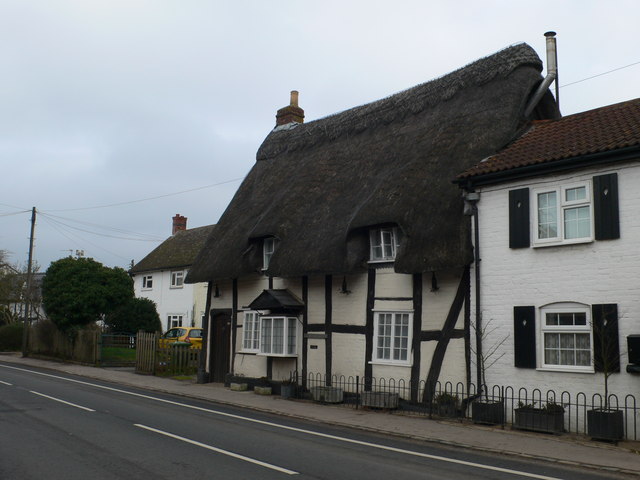
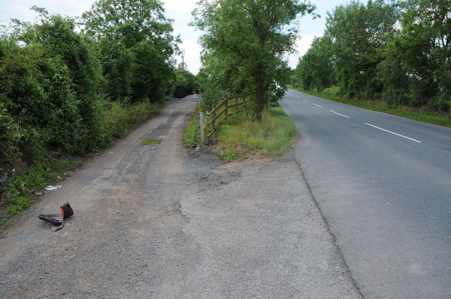
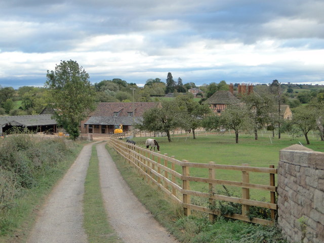
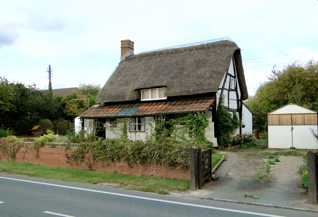
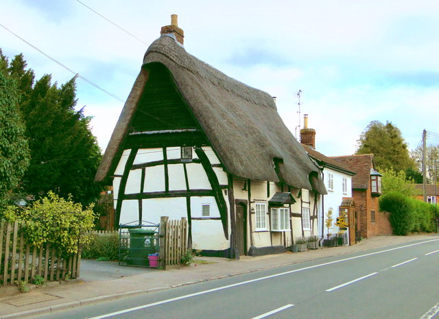
Nestled in the heart of the Cotswolds, The Pound is surrounded by rolling hills, lush green fields, and quaint cottages. The landscape offers breathtaking views and is popular among nature enthusiasts and hikers. The village itself is characterized by its traditional stone-built houses and narrow, winding streets, giving it a quintessential English countryside feel.
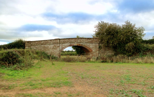
The Pound boasts a rich history, with records dating back to the Domesday Book of 1086. Many of the village's buildings have retained their original charm and architectural features, including the ancient church of St. Mary's, which stands as a prominent landmark. Visitors can also explore the nearby historical sites such as the Sudeley Castle and Hailes Abbey, which provide insight into the area's past.
Despite its small size, The Pound has a vibrant community that thrives on local traditions and events. The village hosts an annual summer fair, attracting both locals and tourists, where artisans and vendors showcase their crafts and products. The Pound also has a cozy pub and a few quaint shops, offering a range of locally produced goods and essentials.
Overall, The Pound is a hidden gem within the Cotswolds, offering a tranquil escape from the hustle and bustle of city life. Its natural beauty, rich history, and tight-knit community make it a must-visit destination for those seeking a quintessentially English experience.
If you have any feedback on the listing, please let us know in the comments section below.
The Pound Images
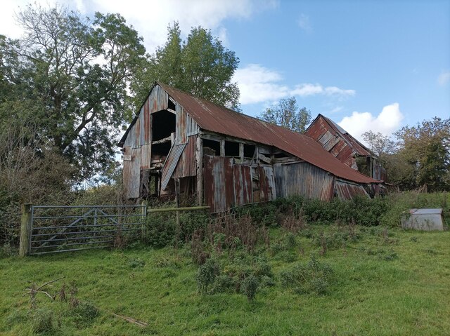
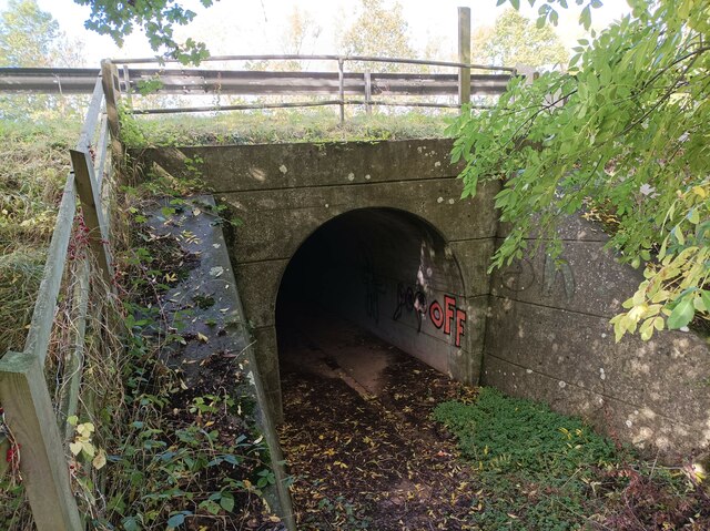
Images are sourced within 2km of 51.976755/-2.4313394 or Grid Reference SO7031. Thanks to Geograph Open Source API. All images are credited.


![Site of Dymock station The platform edge and the bridge are all that remain of one of the most picturesque of Great Western branchline stations. Clark's standard work on GW stations shows it in its heyday [page 62]. The bridge has recently been rebuilt and will one day span the Hereford to Gloucester canal on whose route the Ledbury to Gloucester line was built in the 1880s. The line was built by the Newent Railway, but absorbed into the GWR in 1892.](https://s3.geograph.org.uk/geophotos/02/66/86/2668651_e025f728.jpg)
The Pound is located at Grid Ref: SO7031 (Lat: 51.976755, Lng: -2.4313394)
Administrative County: Gloucestershire
District: Forest of Dean
Police Authority: Gloucestershire
What 3 Words
///sneezed.outfitter.bristle. Near Donnington, Herefordshire
Nearby Locations
Related Wikis
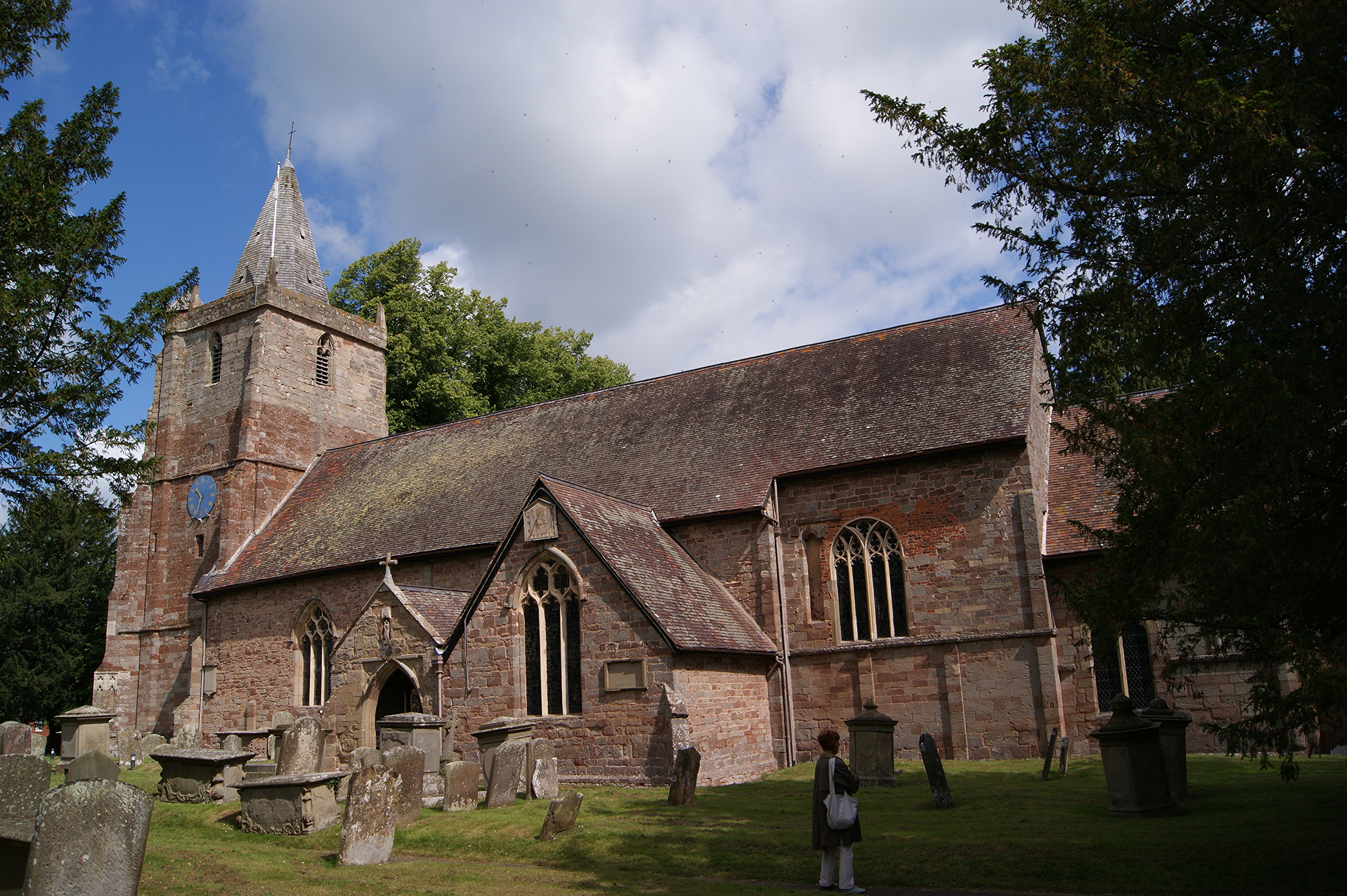
St Mary's Church, Dymock
St Mary's Church, Dymock is a Church of England parish church in the center of the village of Dymock in Gloucestershire, England. It is a Grade I listed...
Dymock railway station
Dymock railway station was a stop on the former Ledbury and Gloucester Railway. It opened in 1885 and served the Gloucestershire village of Dymock. It...

Dymock
Dymock is a village and civil parish in the Forest of Dean district of Gloucestershire, England, about four miles south of Ledbury. In 2014 the parish...

Vell Mill Daffodil Meadow
Vell Mill Daffodil Meadow (grid reference SO710314) is a 2.1-hectare (5.2-acre) nature reserve in Gloucestershire.The site is owned and managed by the...
Nearby Amenities
Located within 500m of 51.976755,-2.4313394Have you been to The Pound?
Leave your review of The Pound below (or comments, questions and feedback).