Bootle
Settlement in Cumberland Copeland
England
Bootle

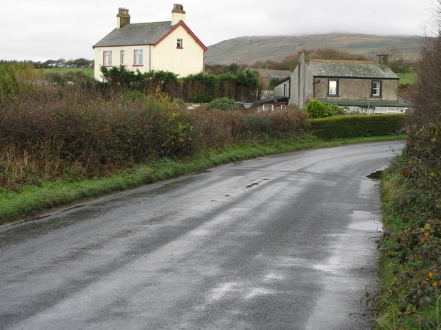
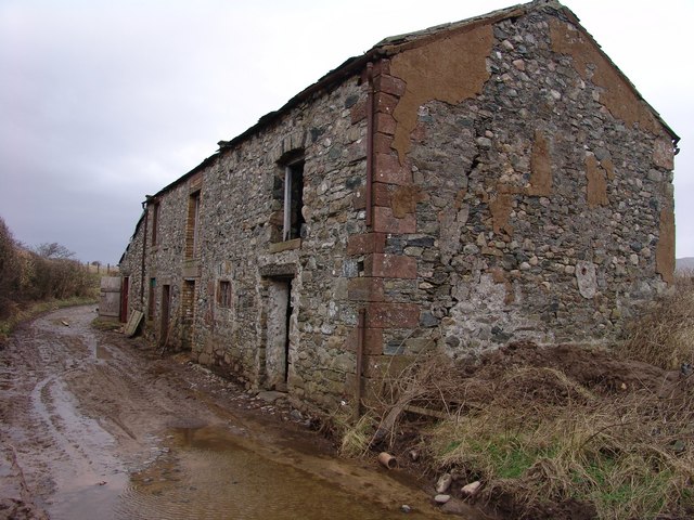
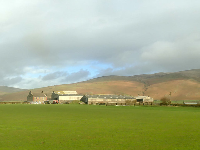
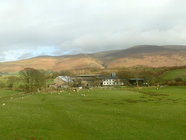
Bootle is a small village located in the county of Cumberland, in the northwest region of England. Situated in the picturesque Lake District National Park, Bootle is surrounded by rolling hills and verdant landscapes. The village has a population of around 600 residents and is known for its tranquil and idyllic setting.
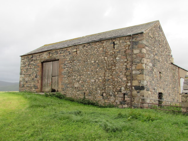
The history of Bootle can be traced back to medieval times, as evidenced by the presence of St. Michael's Church, a beautiful 12th-century structure that still stands today. The village retains much of its traditional charm, with several stone cottages and buildings dating back centuries.
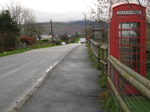
While predominantly an agricultural community, Bootle also benefits from a small number of local businesses and amenities. These include a village shop, a post office, and a primary school, providing essential services to the residents. The village is well-connected to neighboring towns and cities through a network of roads, making it easily accessible.
For nature enthusiasts, Bootle offers a wealth of outdoor activities. The surrounding countryside provides ample opportunities for hiking, cycling, and birdwatching. The nearby coast, just a few miles away, also offers stunning views and sandy beaches.
Overall, Bootle, Cumberland, is a charming and peaceful village nestled in the heart of the Lake District National Park. Its rich history, scenic landscapes, and close-knit community make it an attractive destination for both locals and visitors seeking a serene retreat from the hustle and bustle of city life.
If you have any feedback on the listing, please let us know in the comments section below.
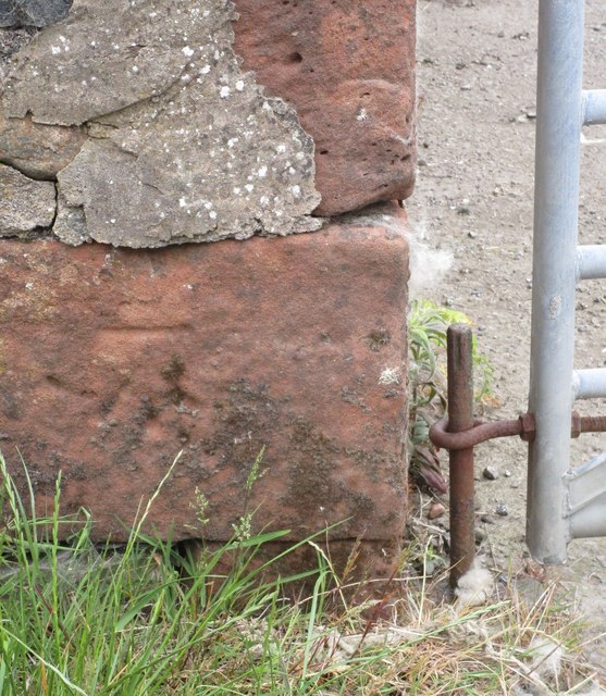
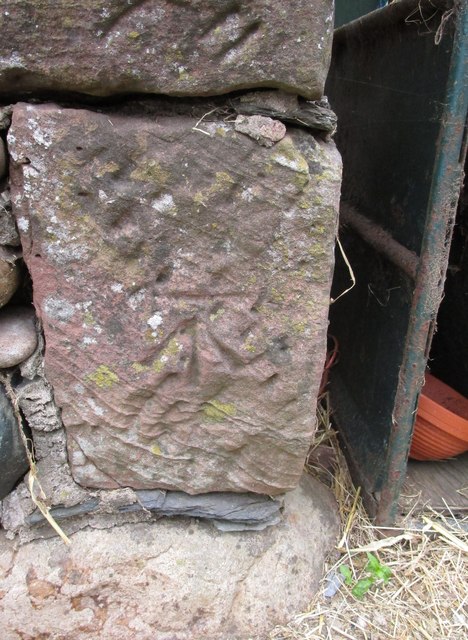
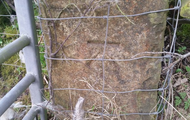
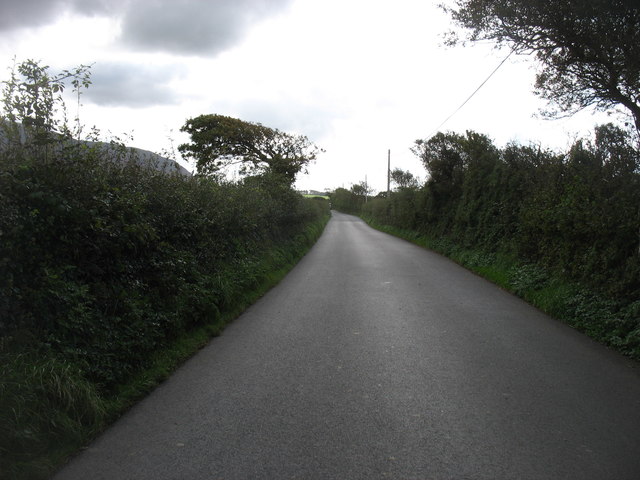
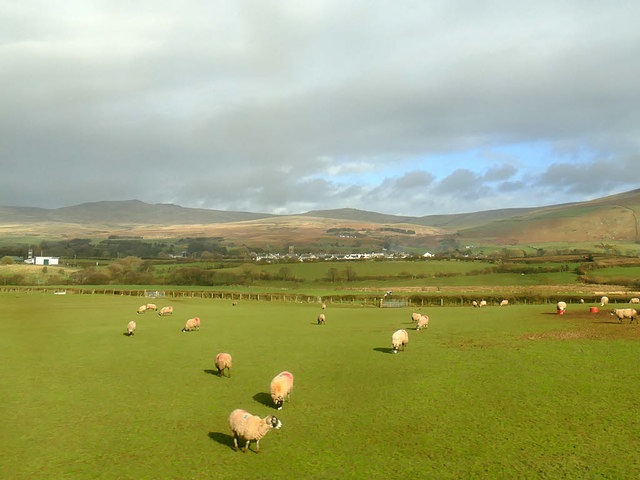
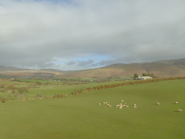
Bootle Images
Images are sourced within 2km of 54.281638/-3.3734899 or Grid Reference SD1088. Thanks to Geograph Open Source API. All images are credited.


Bootle is located at Grid Ref: SD1088 (Lat: 54.281638, Lng: -3.3734899)
Administrative County: Cumbria
District: Copeland
Police Authority: Cumbria
What 3 Words
///handlebar.tanked.indulges. Near Millom, Cumbria
Related Wikis
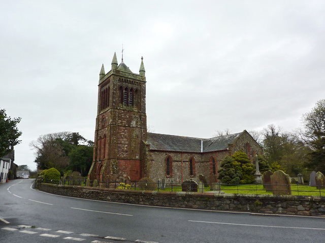
St Michael's Church, Bootle
St Michael's Church is in the village of Bootle, Cumbria, England. It is an active Anglican parish church in the deanery of Calder, the archdeaconry of...

Bootle, Cumbria
Bootle (oo as in boot) is a village and civil parish in the Borough of Copeland in Cumbria, England. The parish had a population of 745 in the 2001 census...
Hycemoor
Hycemoor is a hamlet in Copeland borough of the county of Cumbria, in North west England. == Location == It is located on a minor road about a mile away...
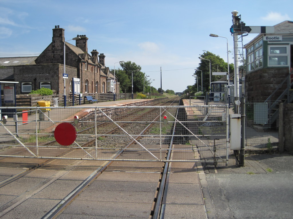
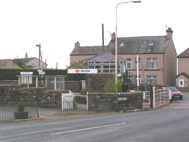
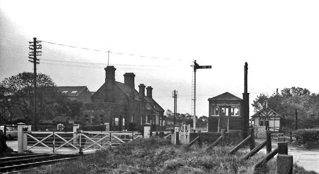
Bootle railway station
Bootle is a railway station on the Cumbrian Coast Line, which runs between Carlisle and Barrow-in-Furness. The station, situated 24 miles (39 km) north...
Nearby Amenities
Located within 500m of 54.281638,-3.3734899Have you been to Bootle?
Leave your review of Bootle below (or comments, questions and feedback).