Hythe, The
Settlement in Essex Colchester
England
Hythe, The

Hythe, The, Essex is a small village located in the borough of Colchester, in the eastern county of Essex, England. Situated on the banks of the River Colne, Hythe offers a picturesque and tranquil setting for its residents and visitors alike. The village is located around 6 miles southeast of Colchester town center and is easily accessible by road.
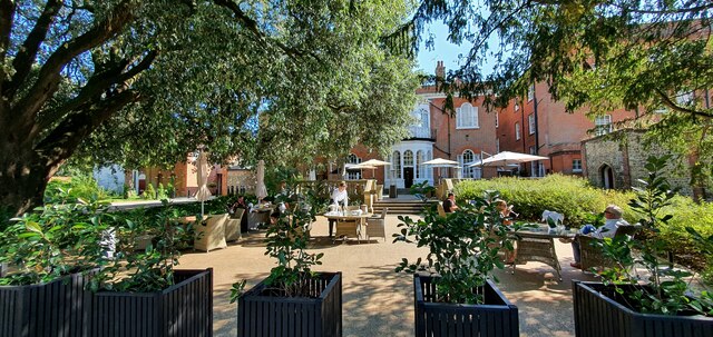
With its historic charm and rich heritage, Hythe is renowned for its traditional English architecture, featuring a mix of period houses, cottages, and quaint buildings. The village is known for its close-knit community and friendly atmosphere, which adds to its appeal.
Hythe benefits from its close proximity to the beautiful countryside and the scenic River Colne, offering ample opportunities for outdoor activities such as walking, cycling, and boating. The area is also home to several nature reserves, providing a haven for wildlife enthusiasts and bird watchers.
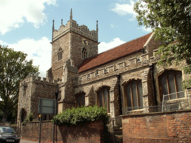
For those seeking a taste of history, Hythe boasts several notable landmarks, including the Grade II listed Hythe Quay, which is a popular spot for leisurely walks along the riverbank. The village is also home to the historic St. Leonard's Church, which dates back to the 11th century and features stunning medieval architecture.
Hythe offers a range of amenities to cater to its residents' needs, including a local primary school, village hall, and a selection of shops and pubs. The nearby town of Colchester provides additional amenities, including shopping centers, leisure facilities, and transport links.
Overall, Hythe, The, Essex is a charming village that offers a peaceful and idyllic setting, making it a desirable place to live or visit for those seeking a quintessentially English experience.
If you have any feedback on the listing, please let us know in the comments section below.
Hythe, The Images
Images are sourced within 2km of 51.879449/0.926009 or Grid Reference TM0124. Thanks to Geograph Open Source API. All images are credited.


Hythe, The is located at Grid Ref: TM0124 (Lat: 51.879449, Lng: 0.926009)
Administrative County: Essex
District: Colchester
Police Authority: Essex
What 3 Words
///boom.wage.larger. Near Colchester, Essex
Nearby Locations
Related Wikis
The Hythe, Essex
The Hythe is an area in the southeastern part of Colchester in Essex, England, on the River Colne. Historically it was a hamlet. The Hythe is home to the...

Colchester power station
Colchester power station supplied electricity to the city of Colchester, Essex, England and the surrounding area from 1900 to 1960. It was owned and operated...
Church of St Leonard at the Hythe, Colchester
The Church of St Leonard at the Hythe is a redundant Anglican church in Hythe, Colchester, Essex, England. It is recorded in the National Heritage List...

Magic Roundabout (Colchester)
The Greenstead roundabout is a large roundabout junction in Colchester, Essex, England.It is a "magic roundabout", where traffic travels both directions...
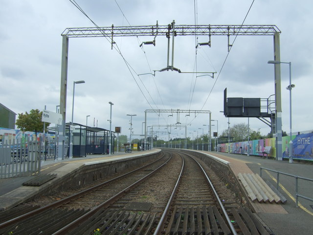
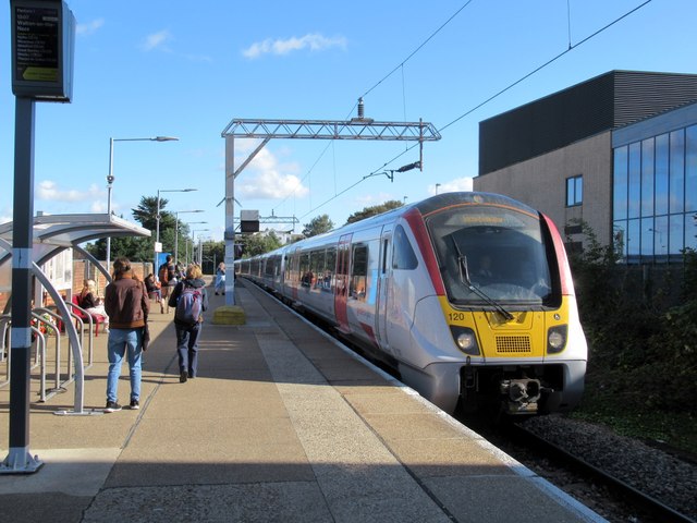
Hythe railway station (Essex)
Hythe railway station in Essex is on the Sunshine Coast Line, a branch of the Great Eastern Main Line in the East of England, serving Hythe and other eastern...

Bourne Mill, Colchester
Bourne Mill is a Grade I listed former fishing lodge and then in turn a fulling mill and cornmill in the city of Colchester in Essex and is owned by the...

University of Essex
The University of Essex is a public research university in Essex, England. Established by royal charter in 1965, it is one of the original plate glass...
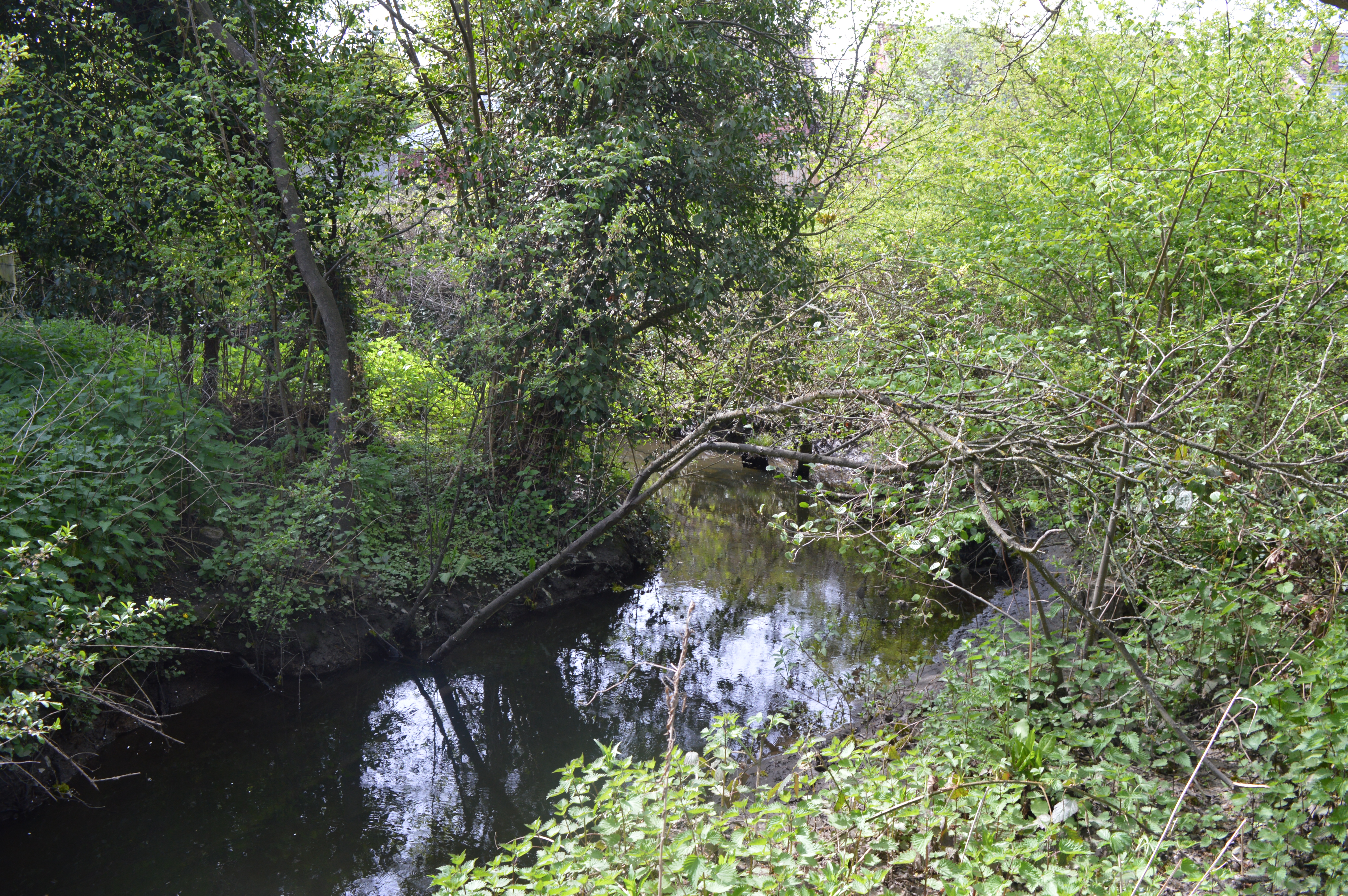
Salary Brook Local Nature Reserve
Salary Brook Local Nature Reserve is a 17.1 hectare Local Nature Reserve covering a stretch of Salary Brook and its banks on the south-east outskirts of...
Nearby Amenities
Located within 500m of 51.879449,0.926009Have you been to Hythe, The?
Leave your review of Hythe, The below (or comments, questions and feedback).