Heath, The

Settlement in Suffolk Babergh

England

Heath, The

Bentley Lane From Stutton towards Bentley.
Bentley Lane Credit: Robin Webster

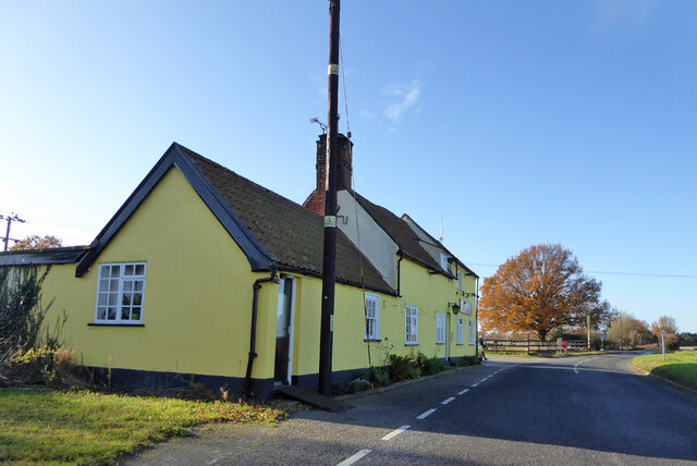
Heath, The, Suffolk is a picturesque village located in the eastern part of England. Situated in the county of Suffolk, this charming village is known for its idyllic countryside, historic sites, and friendly community.

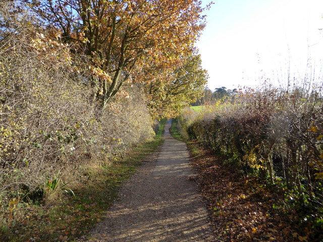
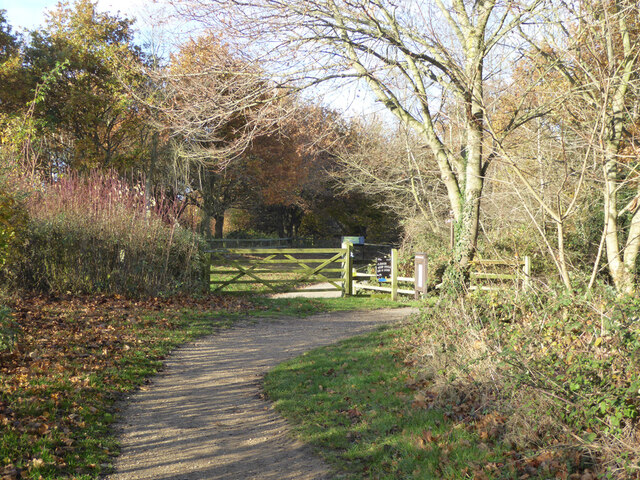
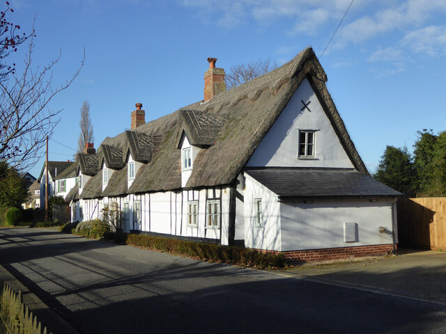
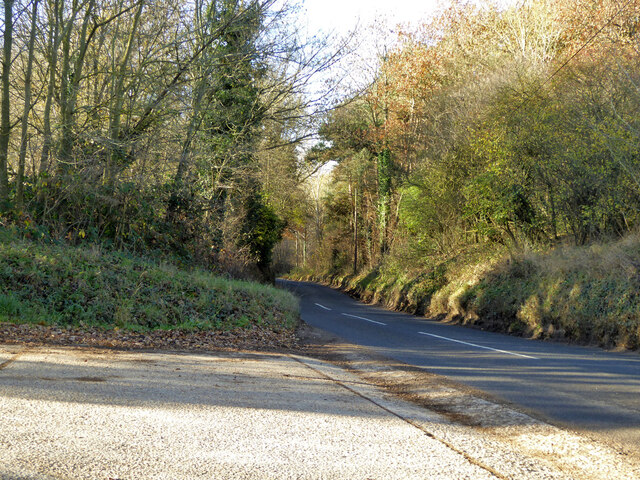
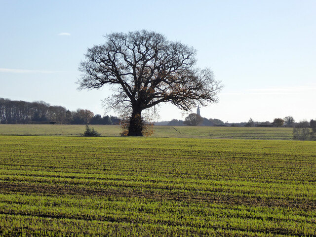
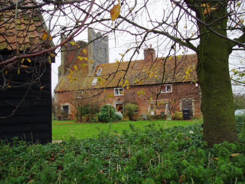
Surrounded by rolling hills and lush greenery, Heath, The offers a tranquil and serene atmosphere. The village is dotted with traditional thatched-roof cottages, adding to its quaint and timeless appeal. The landscape is dominated by vast heathlands, which provide a haven for wildlife and offer breathtaking views.

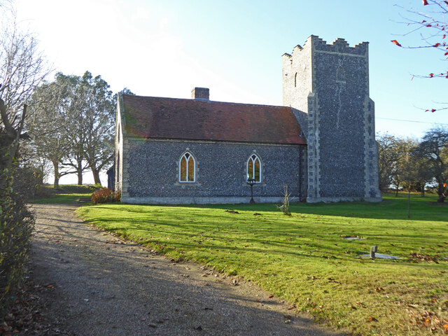
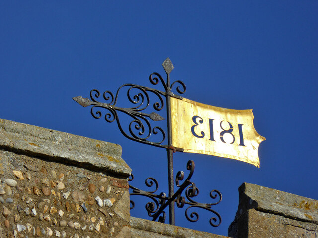
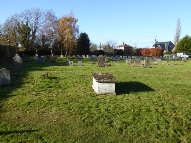
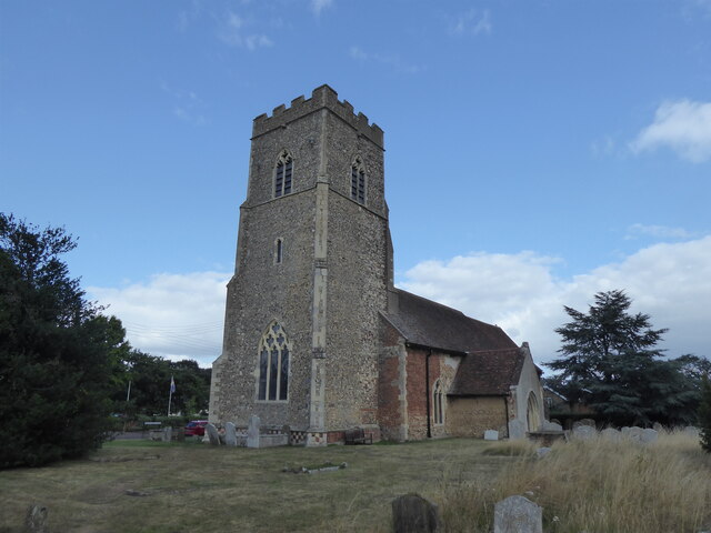
One of the notable landmarks in Heath, The is the St. Mary's Church, a beautiful medieval church that dates back to the 12th century. This historic building attracts visitors from far and wide who come to admire its stunning architecture and explore its rich history. The village also has a village green, a central gathering place for locals and visitors alike.

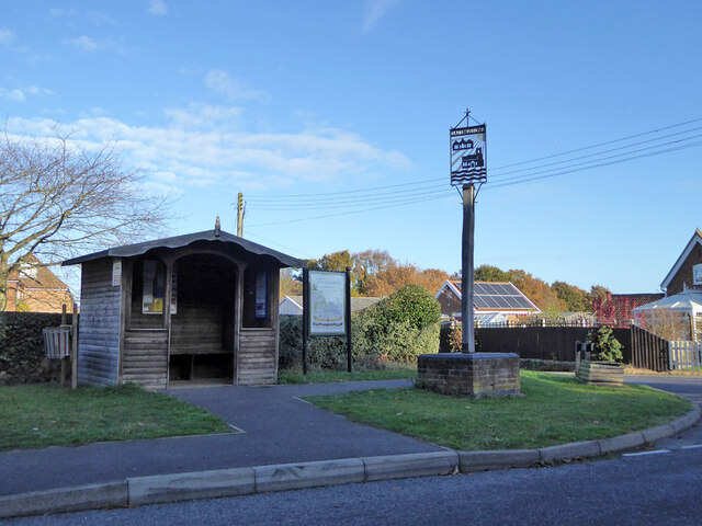
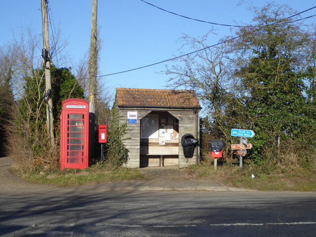
Heath, The is also known for its vibrant community spirit. The village hosts various events and festivals throughout the year, including summer fairs, music concerts, and traditional festivities. These events provide an opportunity for residents and tourists to come together and celebrate the local culture.

The surrounding area offers plenty of opportunities for outdoor activities, such as hiking, cycling, and horse riding. There are also several nature reserves nearby, providing a haven for birdwatchers and wildlife enthusiasts.

Overall, Heath, The, Suffolk is a charming village that offers a perfect blend of natural beauty, history, and community spirit. It is an ideal destination for those seeking a peaceful retreat in the heart of the English countryside.

If you have any feedback on the listing, please let us know in the comments section below.
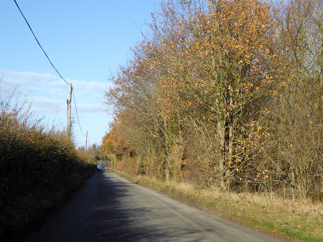
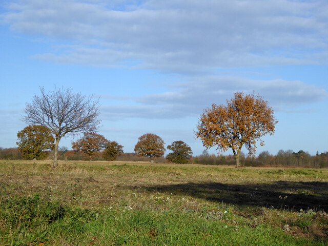
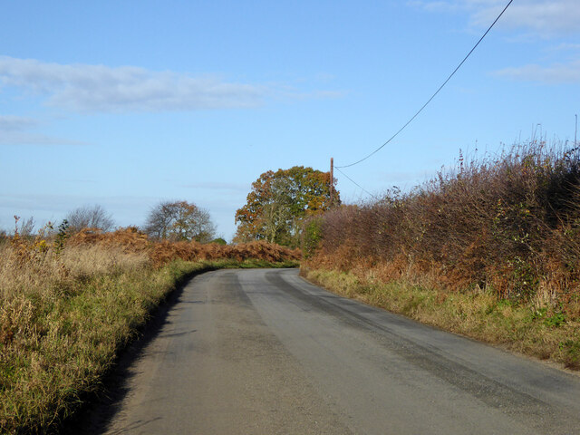
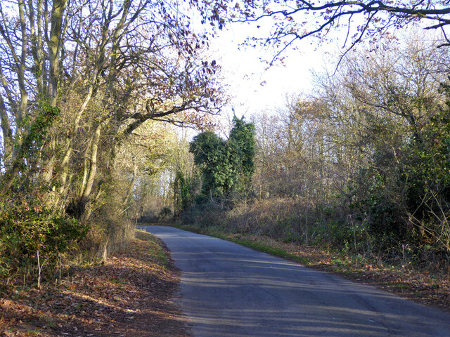
Heath, The Images

Images are sourced within 2km of 51.986764/1.097464 or Grid Reference TM1236. Thanks to Geograph Open Source API. All images are credited.

Bentley Lane From Stutton towards Bentley.
Bentley Lane
From Stutton towards Bentley.
Trees on drive to Argent Manor
Bentley Lane From Stutton towards Bentley.
Bentley Lane
From Stutton towards Bentley.
Lane towards Tattingstone
Cycle path around Alton Water Over this part rather removed from watery views.
Cycle path around Alton Water
Over this part rather removed from watery views.
Cycle path around Alton Water A car park is ahead.
Cycle path around Alton Water
A car park is ahead.
The Tattingstone Wonder The local squire decided he didn't like the look of some cottages when viewed from his seat, so had built a sham church to disguise them. The tower has only three sides, and the trick is revealed when viewed from the other side. The churchification dates from about 1790, a grade II*(star) listed building.
The Tattingstone Wonder
The local squire decided he didn't like the look of some cottages when viewed from his seat, so had built a sham church to disguise them. The tower has only three sides, and the trick is revealed when viewed from the other side. The churchification dates from about 1790, a grade II*(star) listed building.
Bus shelter, village sign and information, Tattingstone
Cottages, Church Road, Tattingstone A grade II listed building, 17th century.
Cottages, Church Road, Tattingstone
A grade II listed building, 17th century.
Weathervane, Tattingstone church The church is much older than 1813, although the 'tower has been much restored and repaired'.
Weathervane, Tattingstone church
The church is much older than 1813, although the 'tower has been much restored and repaired'.
Graveyard, Tattingstone
Former Methodist chapel, Tattingstone Now residential.
Former Methodist chapel, Tattingstone
Now residential.
The Wheatsheaf,  Church Road, Tattingstone
The Wheatsheaf, Church Road, Tattingstone
Station Road towards Bentley
Tattingstone White Horse bus stop Complete with all the usual village add-ons.
Tattingstone White Horse bus stop
Complete with all the usual village add-ons.
Inn sign, White Horse, Tattingstone White Horse
Tree across field South of Coxhall Road.
Tree across field
South of Coxhall Road.
Tattingstone, St Mary the Virgin
Show me another place!

Heath, The is located at Grid Ref: TM1236 (Lat: 51.986764, Lng: 1.097464)

Administrative County: Suffolk

District: Babergh

Police Authority: Suffolk

What 3 Words

///newsreel.exact.mint. Near Capel St Mary, Suffolk

Nearby Locations

The Heath Heath, The

Related Wikis

Tattingstone

Tattingstone is a village and civil parish in Suffolk, England. It is situated on the Shotley peninsula, about 5 miles (8 km) south of Ipswich. The 2011...

Bentley railway station (Suffolk)

Bentley railway station, also known as Bentley Junction between 1849 and 1878, was located in Bentley, Suffolk on the Great Eastern Main Line. It opened...

Tattingstone Wonder

The Tattingstone Wonder is a folly at Tattingstone in Suffolk, England. Located some 6 miles (9.7 km) south of Ipswich the Tattingstone Wonder was originally...

Blackbourn Hundred

Blackbourn was a hundred of Suffolk, consisting of 66,272 acres (26,819 ha). Blackbourn hundred was situated in the north-west of Suffolk. Its northern...

Nearby Amenities

Located within 500m of 51.986764,1.097464
Post Box
Operator: Royal Mail
Operator Type: private
Operator Wikidata: Q638098
Post Box Mounting: concrete_post
Post Box Type: lamp
Postal Code: IP9 2LY
Ref: IP9 1087
Royal Cypher: EIIR
Royal Cypher Wikidata: Q33102113
Lat/Long: 51.9895265/1.0979562
Bus Stop
Wheatsheaf
Local Ref: opp
Naptan AtcoCode: 390010065
Naptan Bearing: E
Naptan CommonName: Wheatsheaf
Naptan Landmark: Wheatsheaf
Naptan NaptanCode: sufadgjd
Naptan Street: Church Road
Naptan Verified: no
Public Transport: platform
Source: naptan_import
Lat/Long: 51.9896467/1.0986741
Wheatsheaf
Local Ref: o/s
Naptan AtcoCode: 390010066
Naptan Bearing: W
Naptan BusStopType: CUS
Naptan CommonName: Wheatsheaf
Naptan Landmark: Wheatsheaf
Naptan NaptanCode: sufadgjg
Naptan Street: Church Road
Naptan Verified: no
Public Transport: platform
Source: naptan_import
Lat/Long: 51.989584/1.0987529
Wheatsheaf Crossroads
Local Ref: E-bound
Naptan AtcoCode: 390010668
Naptan Bearing: W
Naptan BusStopType: CUS
Naptan CommonName: Wheatsheaf Crossroads
Naptan Landmark: Wheatsheaf Crossroads
Naptan NaptanCode: sufjdjma
Naptan Street: Station Road
Naptan Verified: no
Public Transport: platform
Source: naptan_import
Lat/Long: 51.9896054/1.0968604
Wheatsheaf Crossroads
Local Ref: W-bound
Naptan AtcoCode: 390010669
Naptan Bearing: E
Naptan BusStopType: CUS
Naptan CommonName: Wheatsheaf Crossroads
Naptan Landmark: Wheatsheaf Crossroads
Naptan NaptanCode: sufjdjmd
Naptan Street: Station Road
Naptan Verified: no
Public Transport: platform
Source: naptan_import
Lat/Long: 51.9895254/1.0968257
Wheatsheaf Crossroads
Local Ref: S-bound
Naptan AtcoCode: 390010832
Naptan Bearing: S
Naptan BusStopType: CUS
Naptan CommonName: Wheatsheaf Crossroads
Naptan Landmark: Wheatsheaf
Naptan NaptanCode: sufjpagj
Naptan Street: A137
Naptan Verified: no
Source: naptan_import
Lat/Long: 51.9892554/1.0974816
Wheatsheaf Crossroads
Local Ref: N-bound
Naptan AtcoCode: 390010835
Naptan Bearing: N
Naptan BusStopType: CUS
Naptan CommonName: Wheatsheaf Crossroads
Naptan Landmark: Wheatsheaf
Naptan NaptanCode: sufjpagt
Naptan Street: A137
Naptan Verified: no
Source: naptan_import
Lat/Long: 51.9892522/1.0972628
Addr City: Ipswich
Addr Housename: The Nursery
Addr Postcode: IP9 2LX
Addr Street: The Heath
Shop: garden_centre
Lat/Long: 51.9843937/1.097619
Recycling
Lat/Long: 51.9892477/1.0982102
The data included in this document is from www.openstreetmap.org. The data is made available under ODbL.

Have you been to Heath, The?

Leave your review of Heath, The below (or comments, questions and feedback).