Handfords, The
Settlement in Staffordshire Stafford
England
Handfords, The

Handfords is a charming village located in the county of Staffordshire, England. Situated in the heart of the county, Handfords is surrounded by picturesque landscapes and rolling hills, making it an idyllic rural retreat. The village is nestled along the banks of the River Trent, adding to its natural beauty and tranquility.
Handfords is known for its rich history, dating back centuries. The village is home to several historical landmarks, including the 12th-century St. Mary's Church, which stands as a testament to the area's heritage. The church boasts stunning architectural features and serves as a gathering place for the local community.
The village offers a range of amenities to its residents and visitors. There are quaint local shops and a cozy village pub, where one can enjoy a pint of traditional ale and sample delicious local cuisine. Handfords also has a primary school, providing education to the young ones in the community.
For outdoor enthusiasts, Handfords offers ample opportunities for exploration and recreation. The surrounding countryside provides beautiful walking trails and scenic picnic spots, allowing visitors to immerse themselves in nature. The nearby River Trent is a popular spot for fishing and boating, attracting enthusiasts from far and wide.
Handfords is well-connected to the rest of Staffordshire, with good transportation links to neighboring towns and cities. The village's close-knit community and welcoming atmosphere make it an ideal place for those seeking a peaceful and enriching lifestyle.
If you have any feedback on the listing, please let us know in the comments section below.
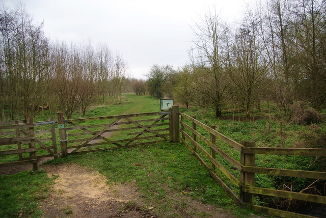
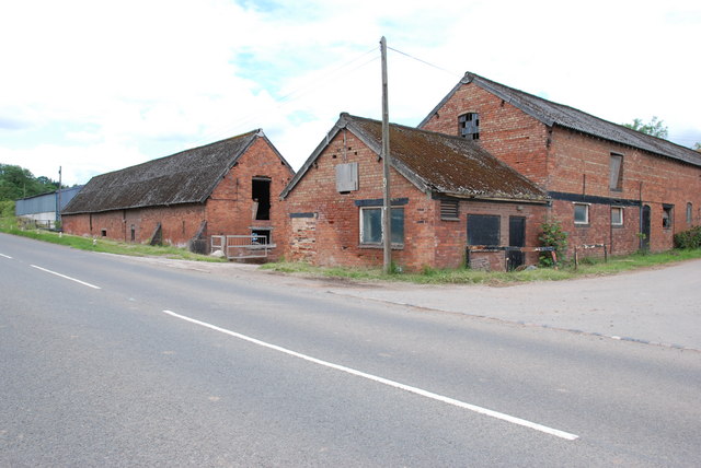
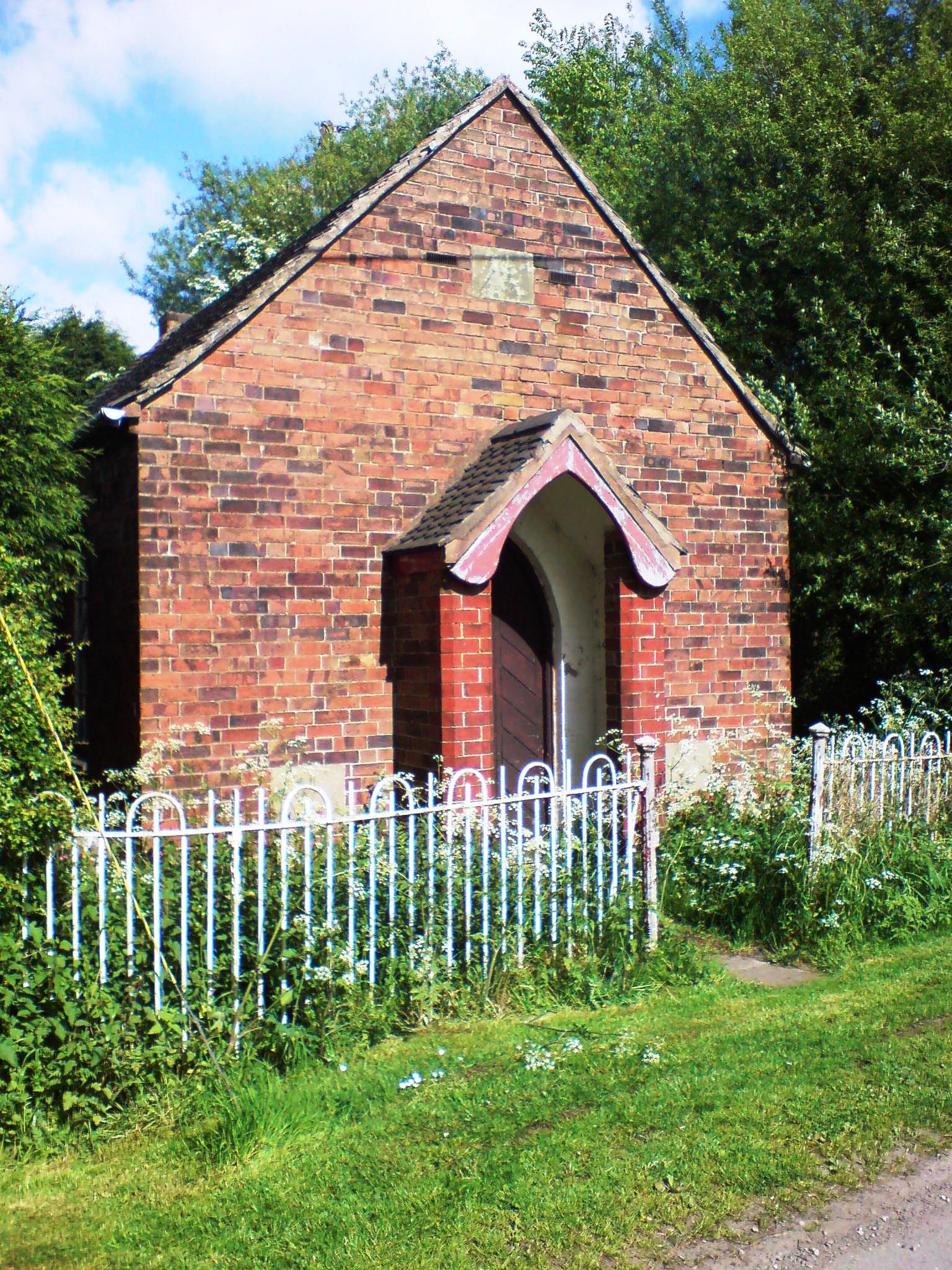
Handfords, The Images
Images are sourced within 2km of 52.799901/-2.179437 or Grid Reference SJ8822. Thanks to Geograph Open Source API. All images are credited.


Handfords, The is located at Grid Ref: SJ8822 (Lat: 52.799901, Lng: -2.179437)
Administrative County: Staffordshire
District: Stafford
Police Authority: Staffordshire
What 3 Words
///storms.carefully.rock. Near Stafford, Staffordshire
Nearby Locations
Related Wikis

Derrington
Derrington is a village west of the town of Stafford, in Staffordshire, England. For population details from the 2011 Census see under Seighford. Derrington...
Coton Clanford
Coton Clanford is a small dispersed Staffordshire village lying in gently rolling countryside 3 miles due west of Stafford, England, and 1 mile southeast...

Stafford Rural District
Stafford Rural District was a rural district in the county of Staffordshire. It was created in 1894 and abolished in 1974 by virtue of the Local Government...

Aston, Stafford
Aston is a hamlet in the county of Staffordshire, England. Aston was recorded in the Domesday Book as Estone. == References ==

Berry Ring
Berry Ring (also known as Bury Ring) is an Iron Age hillfort in Staffordshire, England, lying some two miles southwest of the county town of Stafford,...

Seighford
Seighford ( SY-fərd) is a village and civil parish about 3 miles (5 km) west of Stafford in Staffordshire, England. The population of this civil parish...

Haughton railway station
Haughton railway station was a station in Haughton, Staffordshire, England. The station was opened on 1 June 1849 and closed in May 1949. == References... ==

Stafford Castle
Stafford Castle is an ancient Grade II listed castle situated two miles west of the town of Stafford in Staffordshire, England. From the time of the Norman...
Have you been to Handfords, The?
Leave your review of Handfords, The below (or comments, questions and feedback).