Boothby Graffoe
Settlement in Lincolnshire North Kesteven
England
Boothby Graffoe

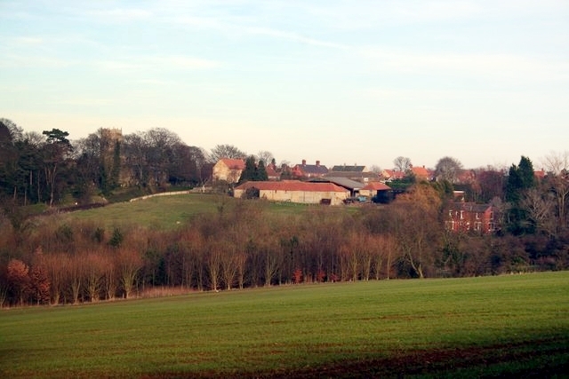
Boothby Graffoe is a small village located in the North Kesteven district of Lincolnshire, England. Situated approximately 10 miles south of Lincoln, the village is nestled in a rural landscape, surrounded by picturesque countryside. The name "Boothby" is derived from the Old Norse word "bóði," meaning a temporary dwelling or shelter, while "Graffoe" is believed to refer to the nearby River Witham.
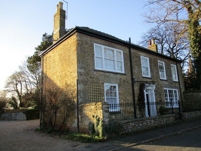
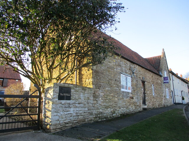
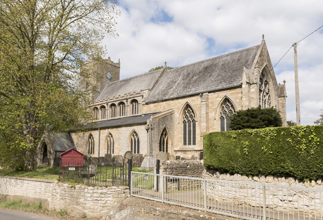
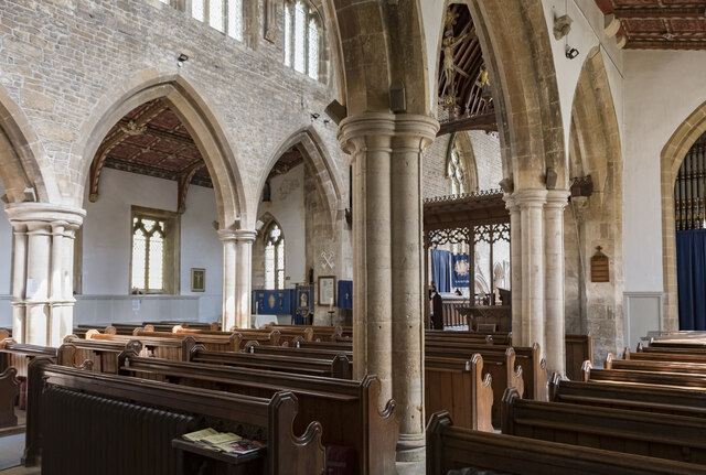
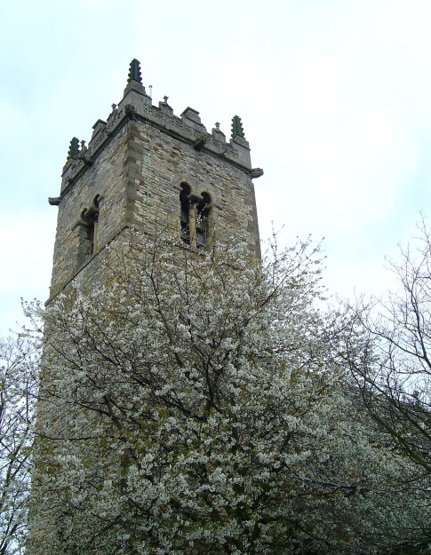
With a population of around 300 residents, Boothby Graffoe exudes a peaceful and tight-knit community atmosphere. The village is home to a number of traditional stone houses, many of which date back to the 17th and 18th centuries, giving it a charming and historic character. St. Andrew's Church, a Grade II listed building, stands proudly in the heart of the village, showcasing beautiful architecture and providing a place for worship and community gatherings.
Although small in size, Boothby Graffoe offers a range of amenities to its residents. The village boasts a village hall, which serves as a hub for social events and activities, as well as a primary school that provides education for local children. The surrounding countryside offers ample opportunities for outdoor enthusiasts, with numerous walking and cycling trails available to explore the natural beauty of the area.
Overall, Boothby Graffoe is a tranquil and idyllic village, perfect for those seeking a peaceful retreat in the heart of the Lincolnshire countryside.
If you have any feedback on the listing, please let us know in the comments section below.
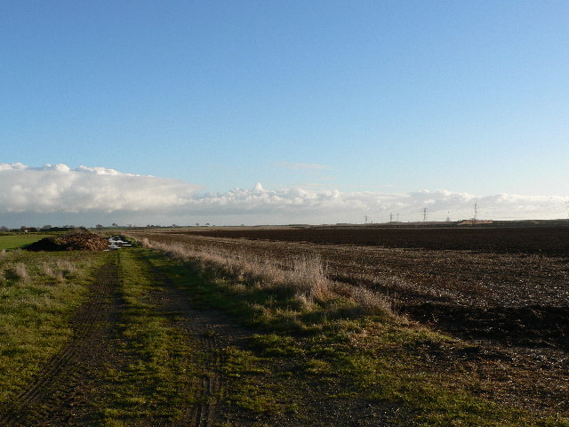
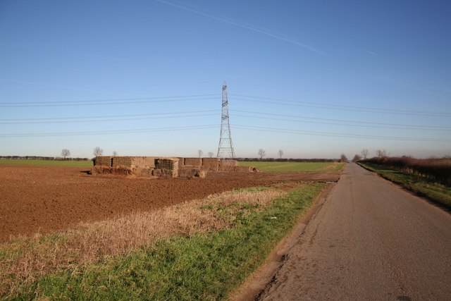
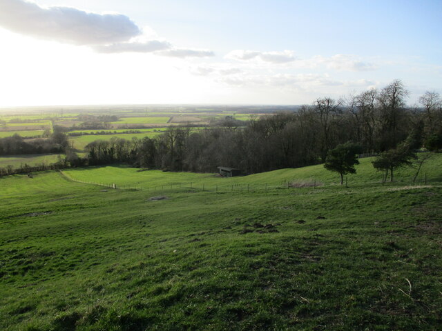
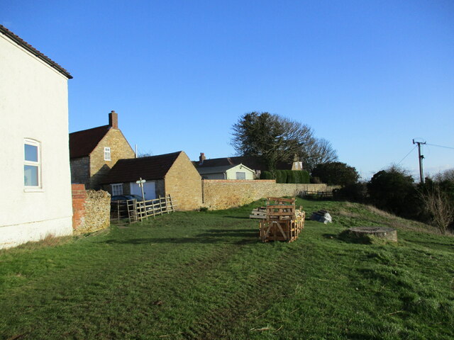
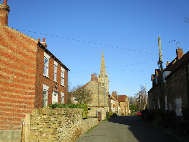
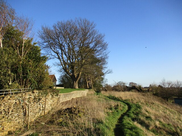
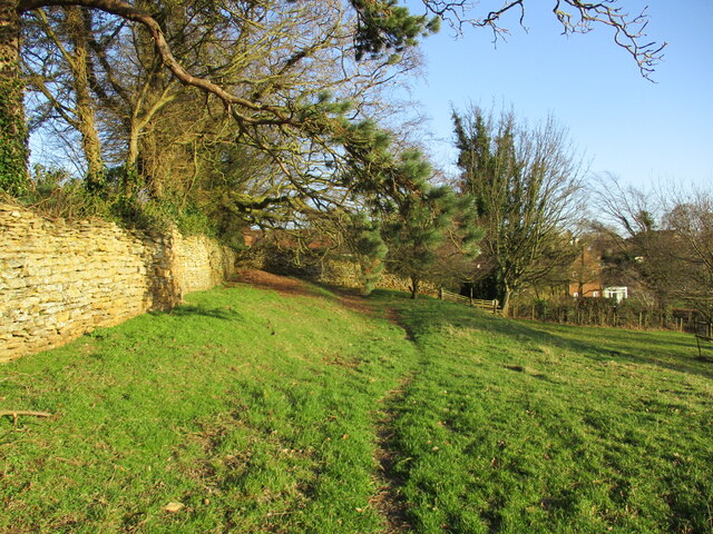
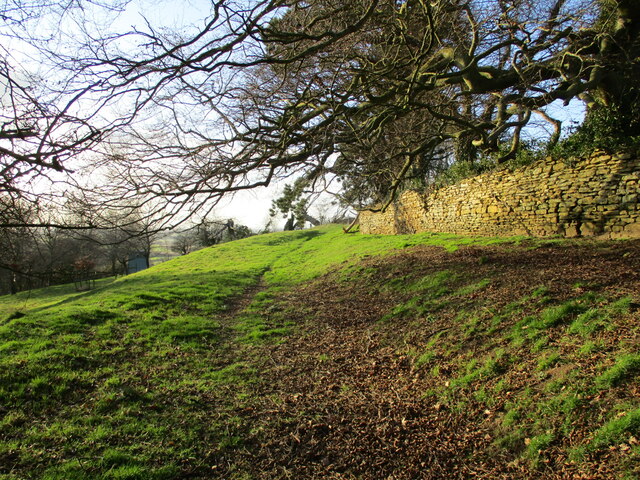
Boothby Graffoe Images
Images are sourced within 2km of 53.120435/-0.530242 or Grid Reference SK9859. Thanks to Geograph Open Source API. All images are credited.


Boothby Graffoe is located at Grid Ref: SK9859 (Lat: 53.120435, Lng: -0.530242)
Division: Parts of Kesteven
Administrative County: Lincolnshire
District: North Kesteven
Police Authority: Lincolnshire
What 3 Words
///frizz.menu.chainsaw. Near Navenby, Lincolnshire
Nearby Locations
Related Wikis

Boothby Graffoe
Boothby Graffoe is a village and civil parish in the North Kesteven district of Lincolnshire, England. The population of the civil parish at the 2011 census...
Navenby
Navenby is a village and civil parish in the North Kesteven district of Lincolnshire, England. Lying 8 miles (13 km) south from Lincoln and 9 miles (14...

Coleby, North Kesteven
Coleby is a village and civil parish in the North Kesteven district of Lincolnshire, England. It is situated on the A607, and approximately 6 miles (10...
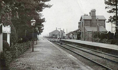
Navenby railway station
Navenby railway station was a railway station in Navenby, Lincolnshire on the Grantham and Lincoln railway line. The station closed for passengers in...
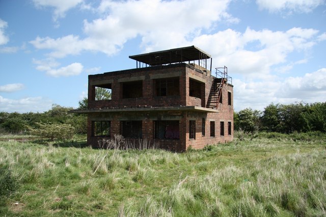
RAF Coleby Grange
Royal Air Force Coleby Grange or more simply RAF Coleby Grange was a Royal Air Force satellite station situated alongside the western edge of the A15 on...

Wellingore
Wellingore is a village and civil parish in the North Kesteven district of Lincolnshire, England. The population of the civil parish at the 2011 census...

Somerton Castle
Somerton Castle is located approximately 1 mile (1.6 km) west of the village of Boothby Graffoe in Lincolnshire, England and to the south of the city of...
Harmston
Harmston is a village and civil parish in the North Kesteven district of Lincolnshire, England. It is situated just west off the A607, and 5 miles (8 km...
Nearby Amenities
Located within 500m of 53.120435,-0.530242Have you been to Boothby Graffoe?
Leave your review of Boothby Graffoe below (or comments, questions and feedback).