The Gutter
Settlement in Worcestershire Bromsgrove
England
The Gutter
The Gutter is a small village located in the county of Worcestershire, England. Situated in the heart of the Worcestershire countryside, it is surrounded by rolling hills, picturesque farmland, and quaint rural landscapes. The village is characterized by its peaceful and idyllic setting, offering residents and visitors a serene escape from the hustle and bustle of urban life.
Despite its small size, The Gutter boasts a close-knit and friendly community. The residents of the village often come together for various events and gatherings, fostering a strong sense of camaraderie and belonging. The village is known for its warm hospitality, welcoming visitors with open arms and providing a true taste of rural English life.
The Gutter is home to a number of traditional thatched cottages, which add to its charm and character. These quaint houses are nestled amidst well-maintained gardens, creating a picturesque and inviting atmosphere. The village also features a small village green, where locals can be seen enjoying picnics or playing a game of cricket on sunny days.
For those seeking outdoor activities, The Gutter offers a wealth of opportunities. The surrounding countryside provides ample space for hiking, cycling, and horseback riding. Nature enthusiasts can explore the nearby woodlands and meadows, which are home to an array of flora and fauna.
In summary, The Gutter is a peaceful and welcoming village in Worcestershire. With its beautiful countryside, friendly community, and traditional architecture, it offers a delightful escape for those looking to experience the tranquility of rural England.
If you have any feedback on the listing, please let us know in the comments section below.
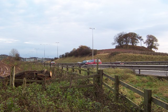
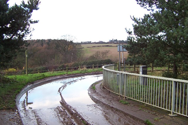
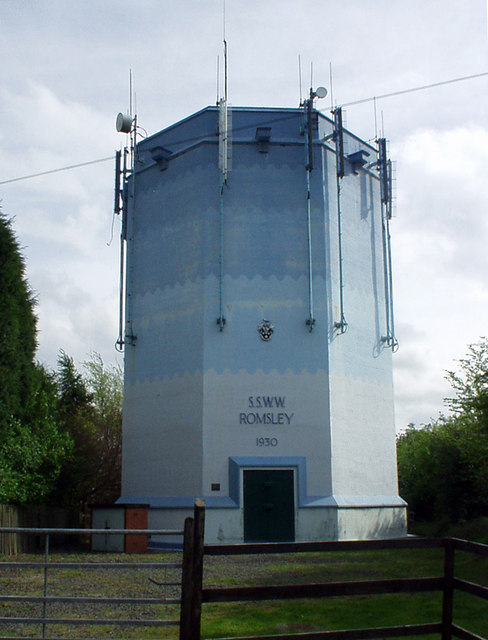
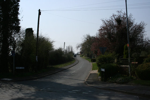
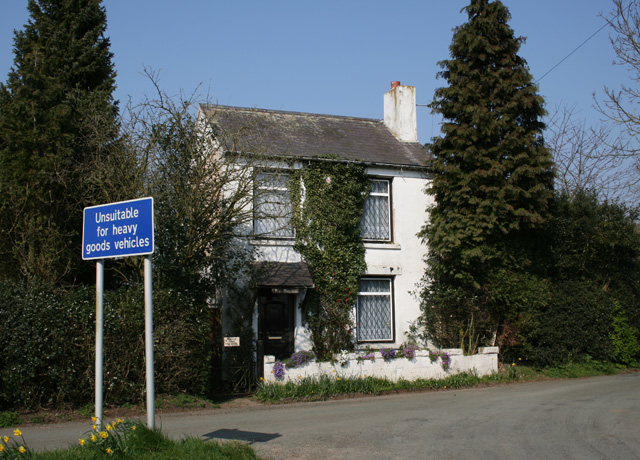
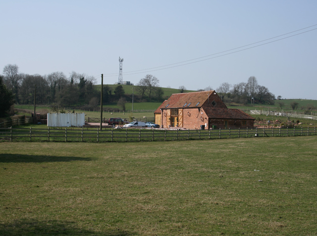
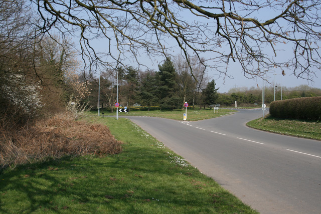
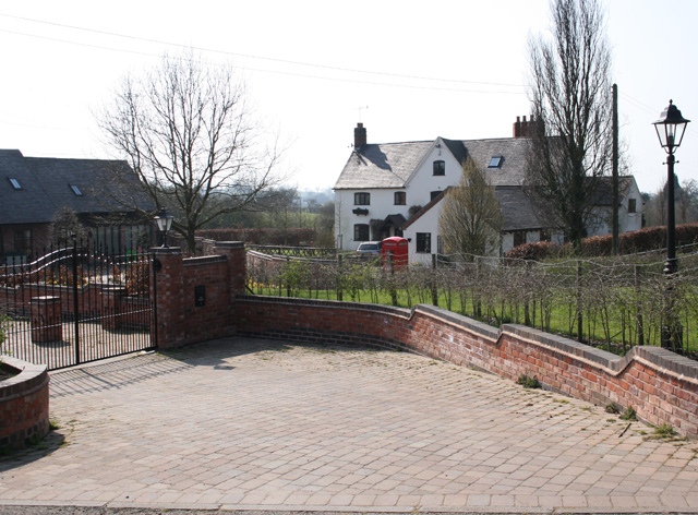
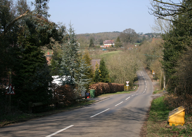
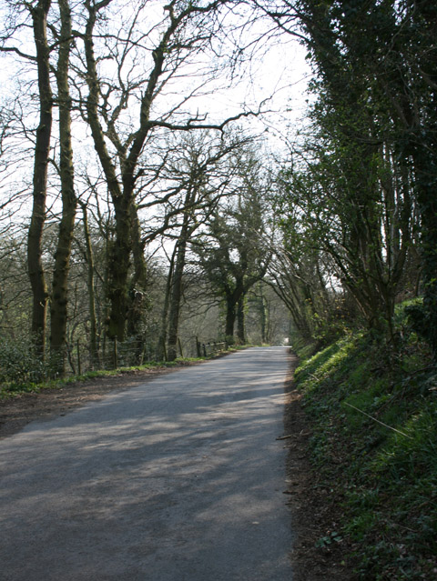
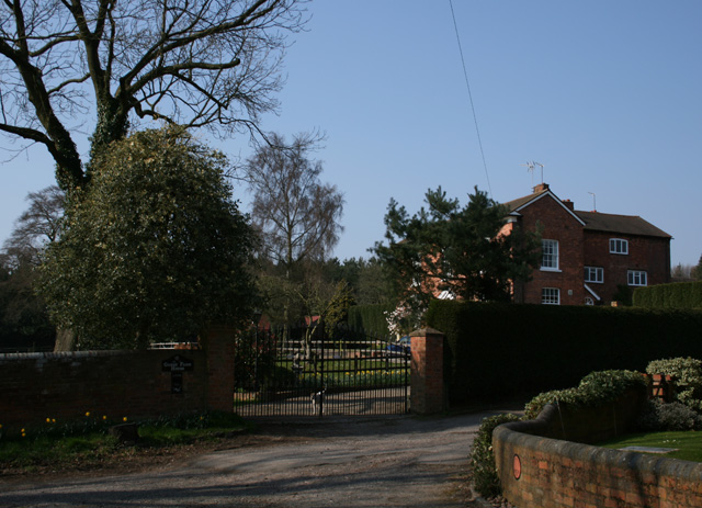
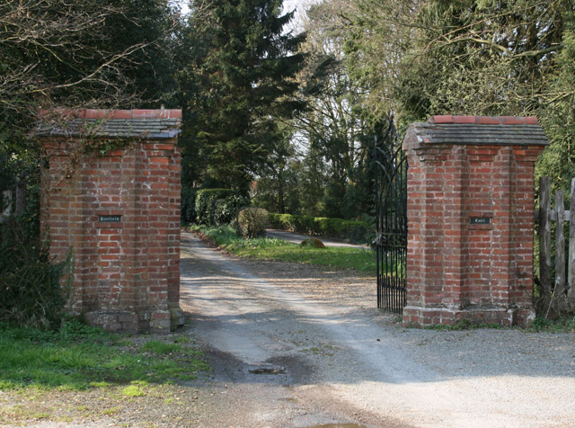
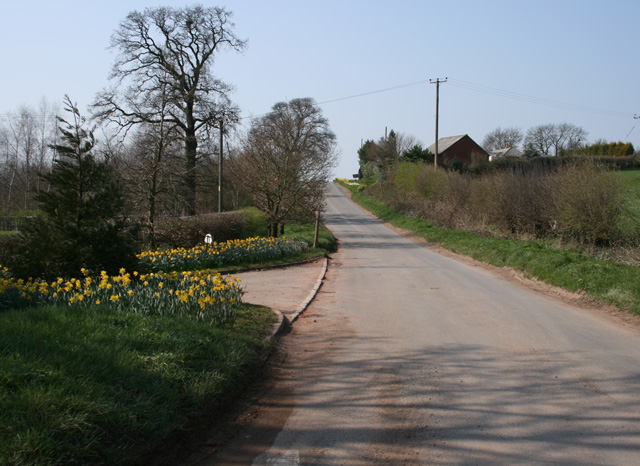
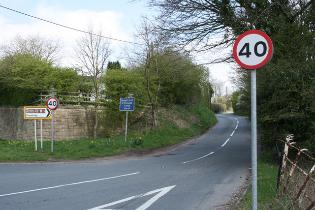
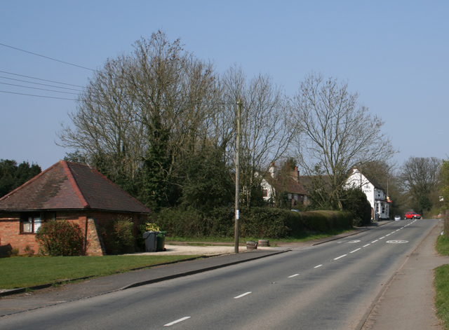
The Gutter Images
Images are sourced within 2km of 52.391/-2.0748975 or Grid Reference SO9577. Thanks to Geograph Open Source API. All images are credited.


The Gutter is located at Grid Ref: SO9577 (Lat: 52.391, Lng: -2.0748975)
Administrative County: Worcestershire
District: Bromsgrove
Police Authority: West Mercia
What 3 Words
///tulip.frames.magic. Near Belbroughton, Worcestershire
Nearby Locations
Related Wikis

Castlebourne folly
The Castlebourne folly in the parish of Belbroughton, Worcestershire, England, was built as a sham castle towards the end of the eighteenth century and...

Bell End
Bell End is a village in the English county of Worcestershire. It is situated approximately 2 miles (3 km) south-east of Hagley on the A491, north of Bromsgrove...

Bromsgrove (UK Parliament constituency)
Bromsgrove is a constituency in Worcestershire represented in the House of Commons of the UK Parliament since 2010 by Sajid Javid of the Conservative Party...
Fairfield, Worcestershire
Fairfield is a village in the district of Bromsgrove, Worcestershire, England. It is in the civil parish of Belbroughton. The village of Fairfield and...
Lydiate Ash
Lydiate Ash is a hamlet in North Worcestershire, England, consisting of a few houses, the road gritting and works depot for Worcestershire County Council...
Waseley Hills Country Park
Waseley Hills Country Park is 150 acres (0.61 km2) a Country Park and Local Nature Reserve owned and managed by Worcestershire County Council's Countryside...

Clent Hills
The Clent Hills lie 10 miles (16 km) south-west of Birmingham city centre in Clent, Worcestershire, England. The closest towns are Stourbridge and Halesowen...

Walton Hill
At 316 metres (1,037 ft) above sea level, Walton Hill is the highest point in the range of hills in northern Worcestershire known as the Clent Hills. It...
Nearby Amenities
Located within 500m of 52.391,-2.0748975Have you been to The Gutter?
Leave your review of The Gutter below (or comments, questions and feedback).