Booth of Toft
Settlement in Shetland
Scotland
Booth of Toft

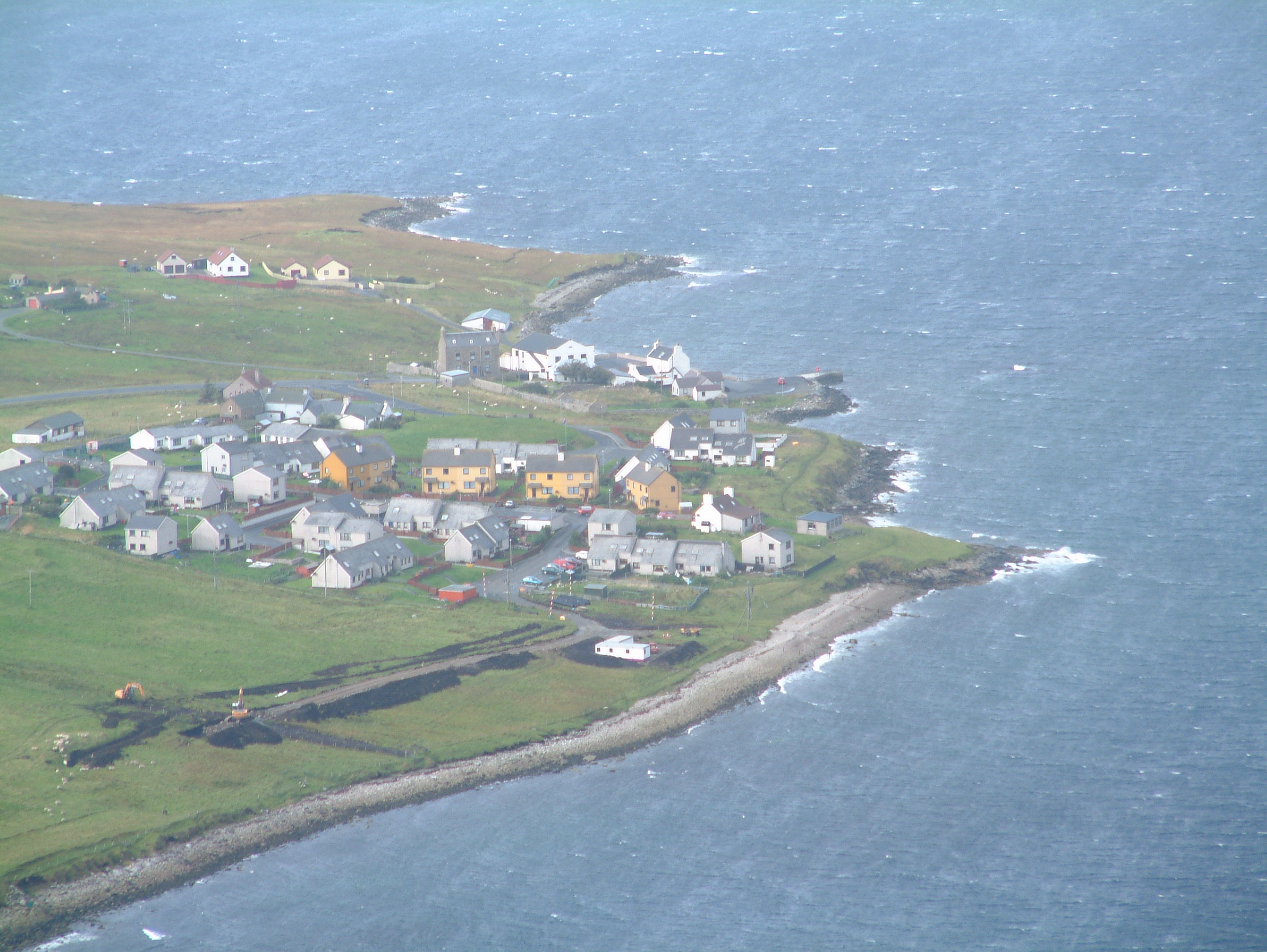
Booth of Toft is a small settlement located in the Shetland Islands, an archipelago situated off the northeast coast of Scotland. It is found on the mainland, nestled between the villages of Vidlin and Voe, in the northern part of the island.
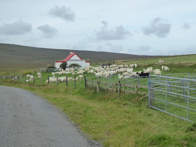
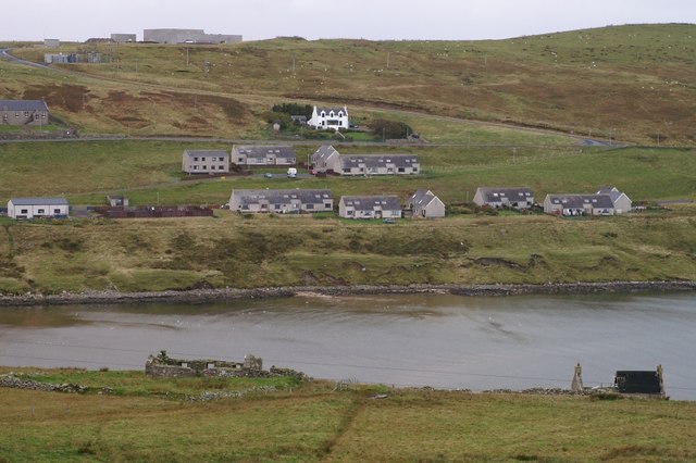
Booth of Toft is primarily a farming community, with picturesque countryside and rolling hills surrounding the area. The settlement itself consists of a cluster of traditional stone cottages, some of which date back to the 19th century, adding to the rustic charm of the place.
The main attraction in Booth of Toft is the beautiful Toft Pier, which serves as a harbor for local fishing boats and pleasure craft. The pier provides stunning views of the surrounding coastline and is a popular spot for locals and visitors to enjoy leisurely walks and take in the tranquil atmosphere.
The area is also known for its wildlife, with seabirds such as puffins and gannets frequently spotted along the rugged cliffs that line the nearby coastline. Seals and otters can also be seen in the waters surrounding Booth of Toft, making it a haven for nature enthusiasts and wildlife photographers.
Although Booth of Toft is a small settlement, it offers a peaceful and idyllic retreat for those seeking a break from the hustle and bustle of city life. Its natural beauty, combined with its rich agricultural heritage, make it a wonderful place to explore and immerse oneself in the authentic Shetland experience.
If you have any feedback on the listing, please let us know in the comments section below.
Booth of Toft Images
Images are sourced within 2km of 60.465457/-1.2199085 or Grid Reference HU4376. Thanks to Geograph Open Source API. All images are credited.


Booth of Toft is located at Grid Ref: HU4376 (Lat: 60.465457, Lng: -1.2199085)
Unitary Authority: Shetland Islands
Police Authority: Highlands and Islands
What 3 Words
///sunblock.loitering.negotiators. Near Toft, Shetland Islands
Nearby Locations
Related Wikis

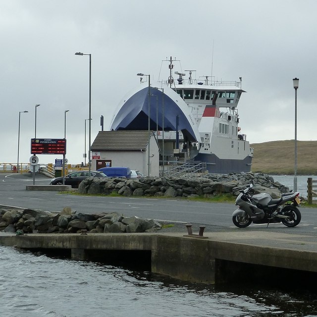
Toft, Shetland
Toft is a ferry port approximately one mile north of Mossbank on Mainland, Shetland, Scotland. From here, a car ferry service to Ulsta on the island of...
Mossbank, Shetland
Mossbank is a village in the north east of the Mainland of Shetland, Scotland. Originally served by an inter island ferry steamer from Lerwick, this ceased...

Shetland Gas Plant
The Shetland Gas Plant is a natural-gas processing plant in the Shetland Islands, Scotland. == History == The Shetland Gas Plant is the collection and...
Firth, Shetland
Note: "Firth" is a common name for sounds in Shetland Firth is a village in the north east of Mainland, Shetland, Scotland, in the parish of Delting,...
Nearby Amenities
Located within 500m of 60.465457,-1.2199085Have you been to Booth of Toft?
Leave your review of Booth of Toft below (or comments, questions and feedback).