Green, The
Settlement in Shropshire
England
Green, The

Green, The, Shropshire is a quaint village located in the county of Shropshire, England. Situated in the heart of the beautiful countryside, this charming village offers a serene and picturesque setting for residents and visitors alike.
The Green, as it is commonly known, is a small village with a population of approximately 500 people. It is surrounded by rolling hills and vast fields, creating a breathtaking backdrop for nature enthusiasts and hikers. The village is also home to a variety of wildlife, including rabbits, squirrels, and various bird species, making it a haven for nature lovers.
The architecture of The Green reflects its rich history, with many buildings dating back to the 17th and 18th centuries. The village is famous for its well-preserved thatched cottages, which add to its idyllic charm. The local church, St. Mary's, is a notable landmark and a testament to the village's historical significance.
Despite its small size, The Green offers a range of amenities to its residents. There is a local pub, The Green Inn, where locals and visitors can enjoy traditional British cuisine and a cozy atmosphere. The village also has a primary school, a village hall, and a small convenience store, catering to the daily needs of its inhabitants.
For those seeking a peaceful getaway, The Green, Shropshire is an ideal destination. Its natural beauty, rich history, and warm community make it a hidden gem in the English countryside.
If you have any feedback on the listing, please let us know in the comments section below.
Green, The Images
Images are sourced within 2km of 52.422489/-3.0307859 or Grid Reference SO3081. Thanks to Geograph Open Source API. All images are credited.


Green, The is located at Grid Ref: SO3081 (Lat: 52.422489, Lng: -3.0307859)
Unitary Authority: Shropshire
Police Authority: West Mercia
What 3 Words
///tomato.available.timing. Near Acton, Shropshire
Nearby Locations
Related Wikis
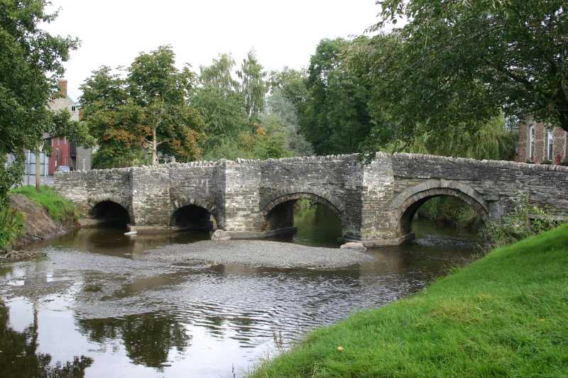
Clun
Clun (Welsh: Colunwy) is a town in south west Shropshire, England, and the Shropshire Hills Area of Outstanding Natural Beauty. The 2011 census recorded...
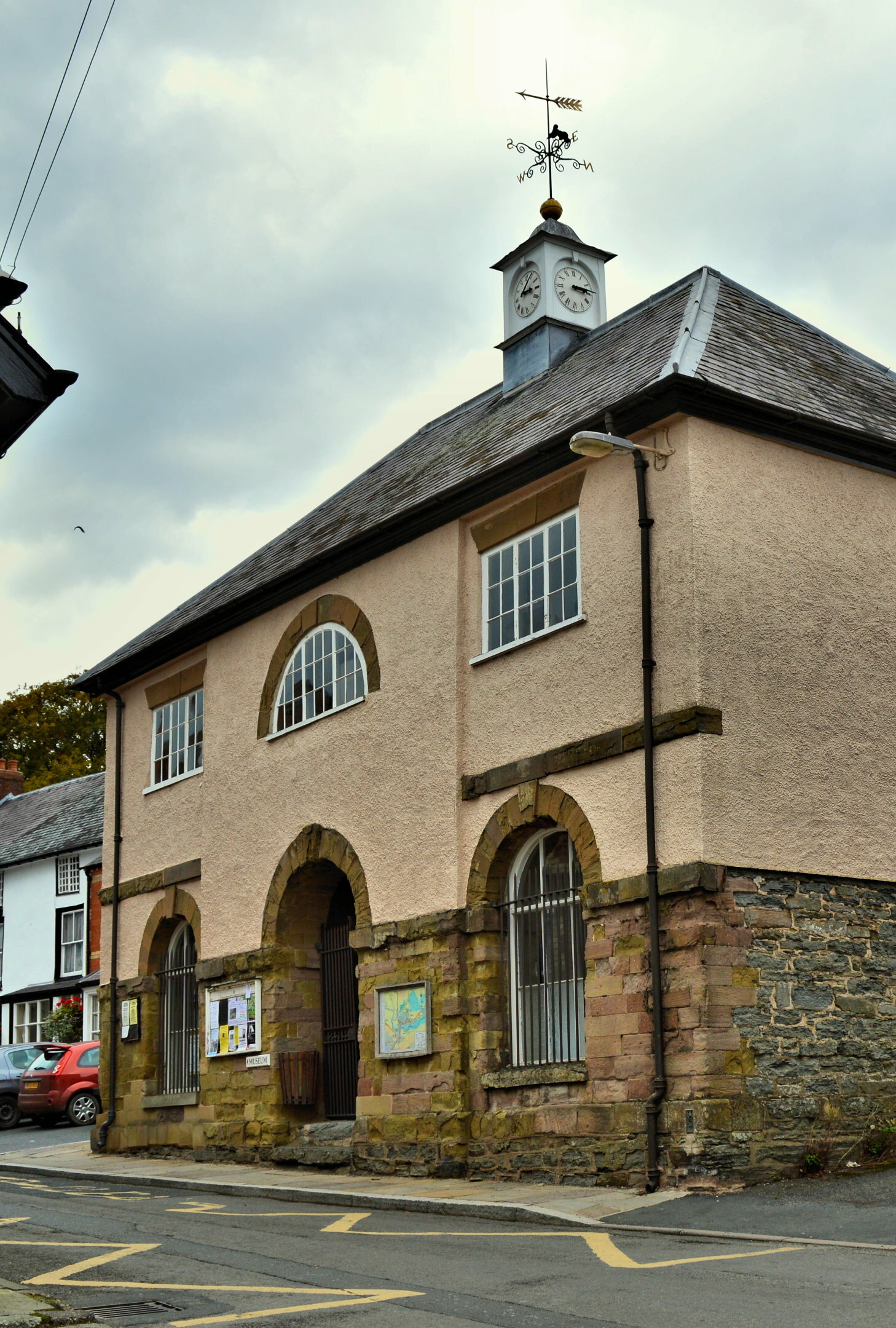
Clun Town Hall
Clun Town Hall is a municipal building in The Square in Clun, Shropshire, England. The building, which is now used as a museum, is a Grade II* listed building...
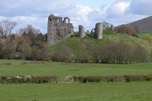
Clun Castle
Clun Castle is a medieval ruined castle in Clun, Shropshire, England. Clun Castle was established by the Norman lord Robert de Say after the Norman invasion...

Clun and Chapel Lawn
Clun or Clun and Chapel Lawn (sometimes "Clun with Chapel Lawn") is a civil parish which covers a large rural area in the southwest of Shropshire, England...
Nearby Amenities
Located within 500m of 52.422489,-3.0307859Have you been to Green, The?
Leave your review of Green, The below (or comments, questions and feedback).