The Folly

Settlement in Hertfordshire St. Albans

England

The Folly

Aldwickbury School Boys' prep school which in the c.1940s moved to the Victorian mansion of Aldwickbury (named Highfirs until the early 20th Century).  Seen here is the lodge by the driveway off Wheathamptead Road.
Aldwickbury School Credit: Ian Capper

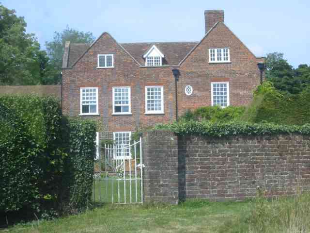
The Folly is a historic building located in Hertfordshire, England. Situated in the village of Benington, The Folly dates back to the late 18th century and is recognized for its architectural significance. It is a Grade II* listed building, which signifies its importance and preservation as a historic structure.

Originally constructed as a hunting lodge, The Folly was designed in the Gothic Revival style, popular during the time. The building features a unique octagonal shape with a central tower and pointed arch windows, characteristic of the architectural movement. The exterior is made of red brick, giving it a distinctive appearance that stands out within the surrounding landscape.

The interior of The Folly is equally impressive, with its ornate detailing and grandeur. The main reception rooms boast high ceilings, intricate plasterwork, and large windows that allow for an abundance of natural light. The building has undergone several renovations over the years, ensuring its preservation and upkeep.

Today, The Folly serves as a venue for various events, including weddings, parties, and corporate functions. Its picturesque surroundings, consisting of well-maintained gardens and rolling countryside, make it an ideal location for these occasions. The Folly has become a popular choice for those seeking a unique and elegant setting.

Overall, The Folly in Hertfordshire stands as a testament to the architectural heritage of the region. Its striking design and historical significance make it an important landmark within the local community, attracting visitors and event-goers alike.

If you have any feedback on the listing, please let us know in the comments section below.
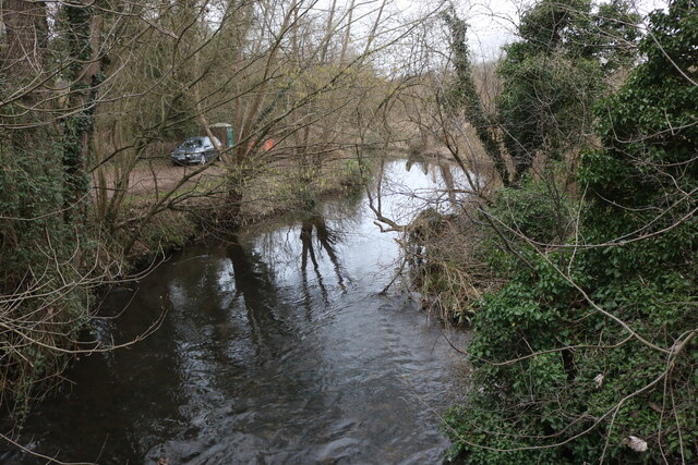
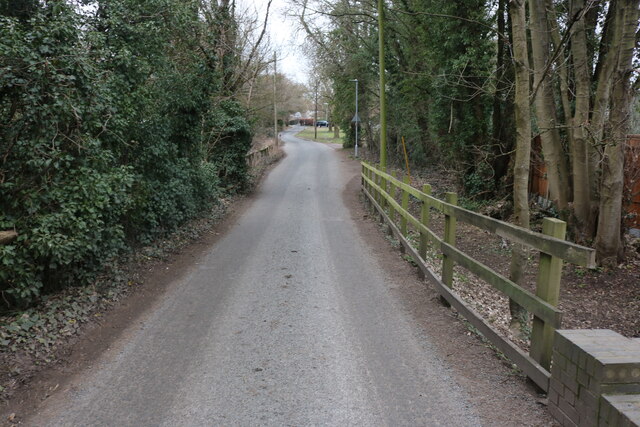
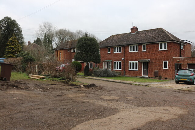
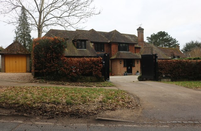
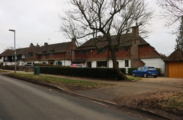
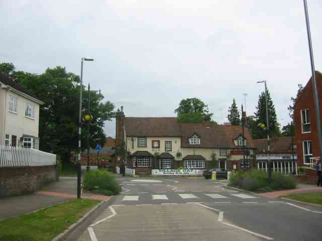
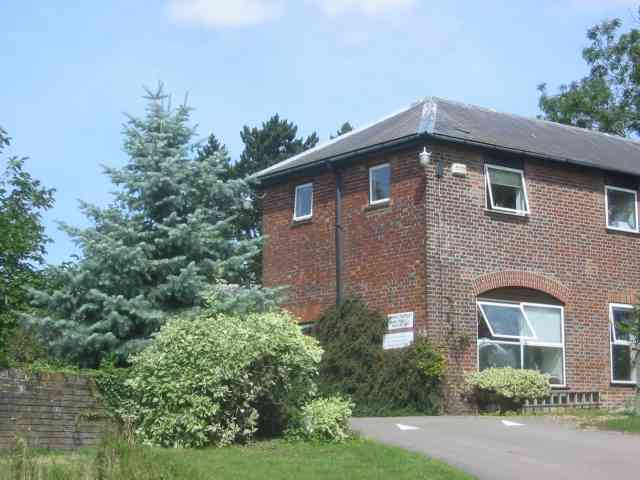
The Folly Images

Images are sourced within 2km of 51.817429/-0.30827381 or Grid Reference TL1614. Thanks to Geograph Open Source API. All images are credited.

Aldwickbury School Boys' prep school which in the c.1940s moved to the Victorian mansion of Aldwickbury (named Highfirs until the early 20th Century).  Seen here is the lodge by the driveway off Wheathamptead Road.
Aldwickbury School
Boys' prep school which in the c.1940s moved to the Victorian mansion of Aldwickbury (named Highfirs until the early 20th Century). Seen here is the lodge by the driveway off Wheathamptead Road.
Wheathampstead Road c.1960s housing along a service road separated from the main Wheathampstead Road by the line of trees on the right.
Wheathampstead Road
c.1960s housing along a service road separated from the main Wheathampstead Road by the line of trees on the right.
Junction on Common Lane, Batford
Field in Batford
Field in Batford
Roundabout on Lamer Lane, Wheathampstead Looking towards Lower Luton Road
Roundabout on Lamer Lane, Wheathampstead
Looking towards Lower Luton Road
Frost's estate agents, Wheathampstead All the Frost's I've seen have been in Surrey, I didn't know they were up here as well.
Frost's estate agents, Wheathampstead
All the Frost's I've seen have been in Surrey, I didn't know they were up here as well.
Nonno's Pizza, Wheathampstead
The Hill, Wheathampstead
Shops on Station Road, Wheathampstead
The River Lea, Wheathampstead From Leasey Bridge
The River Lea, Wheathampstead
From Leasey Bridge
The River Lea, Wheathampstead From Leasey Bridge
The River Lea, Wheathampstead
From Leasey Bridge
Cherry Tree Lane, Wheathampstead
Houses on Marshalls Heath Lane
Large house on Wheathampstead Road, Harpenden I think I could manage to live here.
Large house on Wheathampstead Road, Harpenden
I think I could manage to live here.
Houses on Wheathampstead Road, Harpenden These are very similar to some in Hampstead Garden Suburb.
Houses on Wheathampstead Road, Harpenden
These are very similar to some in Hampstead Garden Suburb.
Wheathampstead village villages always seem to be devoid of people.
Wheathampstead village
villages always seem to be devoid of people.
The Grove Harpenden It looks like some form of rest home but I'm not too sure.
The Grove Harpenden
It looks like some form of rest home but I'm not too sure.
Buildings at The Grove Harpenden These buildings look like offices for business units.
Buildings at The Grove Harpenden
These buildings look like offices for business units.
Show me another place!

The Folly is located at Grid Ref: TL1614 (Lat: 51.817429, Lng: -0.30827381)

Administrative County: Hertfordshire

District: St. Albans

Police Authority: Hertfordshire

What 3 Words

///hotel.speech.bikes. Near Wheathampstead, Hertfordshire

Related Wikis

Marshalls Heath

Marshalls Heath is a hamlet and a 4-hectare (10-acre) Local Nature Reserve in Wheathampstead parish, Hertfordshire, England. The nature reserve is owned...

St Helen's Church, Wheathampstead

St Helen's Church is the oldest church in Wheathampstead, Hertfordshire, England, although the date of its origins is unknown. The wooden Anglo-Saxon structure...

Wheathampstead railway station

Wheathampstead railway station was a railway station serving Wheathampstead on the Great Northern Railway branch line to Dunstable. While little of it...

Wheathampstead

Wheathampstead is a village and civil parish in Hertfordshire, England, north of St Albans. The population of the ward at the 2001 census was 6,058. Included...
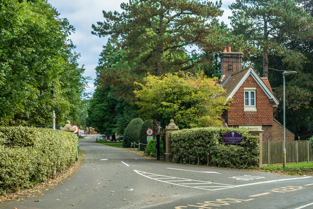
Aldwickbury School

Aldwickbury School is a 4–13 boys private preparatory school located on the outskirts of Harpenden, Hertfordshire in the United Kingdom. Aldwickbury School...

Devil's Dyke, Hertfordshire

Devil's Dyke is the remains of a prehistoric defensive ditch which lies at the east side of the village of Wheathampstead, Hertfordshire, England. It is...

Batford Springs

Batford Springs is a 3.5-hectare (8.6-acre) Local Nature Reserve in Harpenden in Hertfordshire. It is owned and managed by Harpenden Town Council, and...

Batford

Batford is a village in Hertfordshire, England, located on the River Lea on the outskirts of Harpenden. Batford Springs is a local nature reserve alongside...

Nearby Amenities

Located within 500m of 51.817429,-0.30827381
Created By: osmeditor2
Lat/Long: 51.8181812/-0.311591
Croft Farm
Landuse: farmyard
Note Retag: CS #48756035
Lat/Long: 51.8163012/-0.3148719
Post Box
Post Box Type: lamp
Ref: AL4 14D
Royal Cypher: EIIR
Royal Cypher Wikidata: Q33102113
Lat/Long: 51.8175586/-0.3083589
Bus Stop
Folly Fields
Bus: yes
Naptan AtcoCode: 210021501380
Naptan Bearing: SE
Naptan CommonName: Folly Fields
Naptan Crossing: Folly Fields
Naptan Indicator: adj
Naptan Landmark: Folly Fields
Naptan NaptanCode: hrtdagpm
Naptan PlusbusZoneRef: HRPNDN;STALBCY
Naptan ShortCommonName: NA
Naptan Street: Lower Luton Road
Naptan Verified: no
Public Transport: platform
Shelter: no
Source: naptan_import
Lat/Long: 51.8176452/-0.308802
Bus Stop
Cottages
Bus: yes
Naptan AtcoCode: 210021501400
Naptan Bearing: E
Naptan CommonName: Cottages
Naptan Crossing: Cottages
Naptan Indicator: o/s
Naptan Landmark: Cottages
Naptan NaptanCode: hrtdagpt
Naptan PlusbusZoneRef: HRPNDN;STALBCY
Naptan ShortCommonName: NA
Naptan Street: Lower Luton Road
Naptan Verified: no
Public Transport: platform
Shelter: no
Source: naptan_import
Lat/Long: 51.8158281/-0.3031483
Bus Stop
Cottages
Bus: yes
Naptan AtcoCode: 210021510360
Naptan Bearing: NW
Naptan CommonName: Cottages
Naptan Crossing: opp Cottages
Naptan Indicator: opp
Naptan Landmark: opp Cottages
Naptan NaptanCode: hrtatmdg
Naptan PlusbusZoneRef: HRPNDN;STALBCY
Naptan ShortCommonName: NA
Naptan Street: Lower Luton Road
Naptan Verified: no
Public Transport: platform
Source: naptan_import
Lat/Long: 51.8158297/-0.303631
Bus Stop
Folly Fields
Bench: yes
Bus: yes
Naptan AtcoCode: 210021510380
Naptan Bearing: NW
Naptan CommonName: Folly Fields
Naptan Crossing: opp Folly Fields
Naptan Indicator: opp
Naptan Landmark: opp Folly Fields
Naptan NaptanCode: hrtatmdj
Naptan PlusbusZoneRef: HRPNDN;STALBCY
Naptan ShortCommonName: NA
Naptan Street: Lower Luton Road
Naptan Verified: no
Public Transport: platform
Shelter: yes
Source: naptan_import
Lat/Long: 51.8177234/-0.3093607
Direction: 210
Generator Method: photovoltaic
Generator Output Electricity: yes
Generator Solar Modules: 12
Generator Source: solar
Generator Type: solar_photovoltaic_panel
Location: roof
Power: generator
Lat/Long: 51.8167425/-0.3059518
Crossing
Crossing: traffic_signals
Crossing Island: no
Lat/Long: 51.817498/-0.3084736
Direction: 190
Generator Method: photovoltaic
Generator Output Electricity: yes
Generator Solar Modules: 8
Generator Source: solar
Generator Type: solar_photovoltaic_panel
Location: roof
Power: generator
Lat/Long: 51.8185462/-0.3135621
Direction: 195
Generator Method: photovoltaic
Generator Output Electricity: yes
Generator Solar Modules: 16
Generator Source: solar
Generator Type: solar_photovoltaic_panel
Location: roof
Power: generator
Lat/Long: 51.8186252/-0.3141532
The data included in this document is from www.openstreetmap.org. The data is made available under ODbL.

Have you been to The Folly?

Leave your review of The Folly below (or comments, questions and feedback).